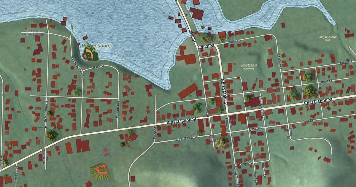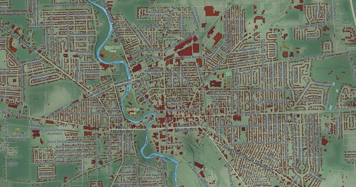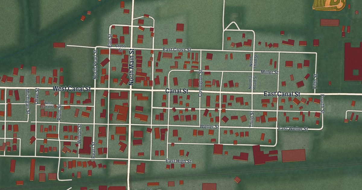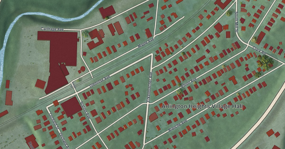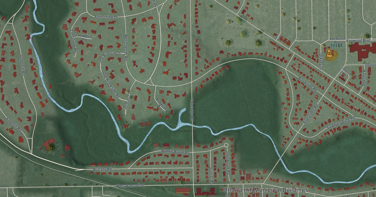
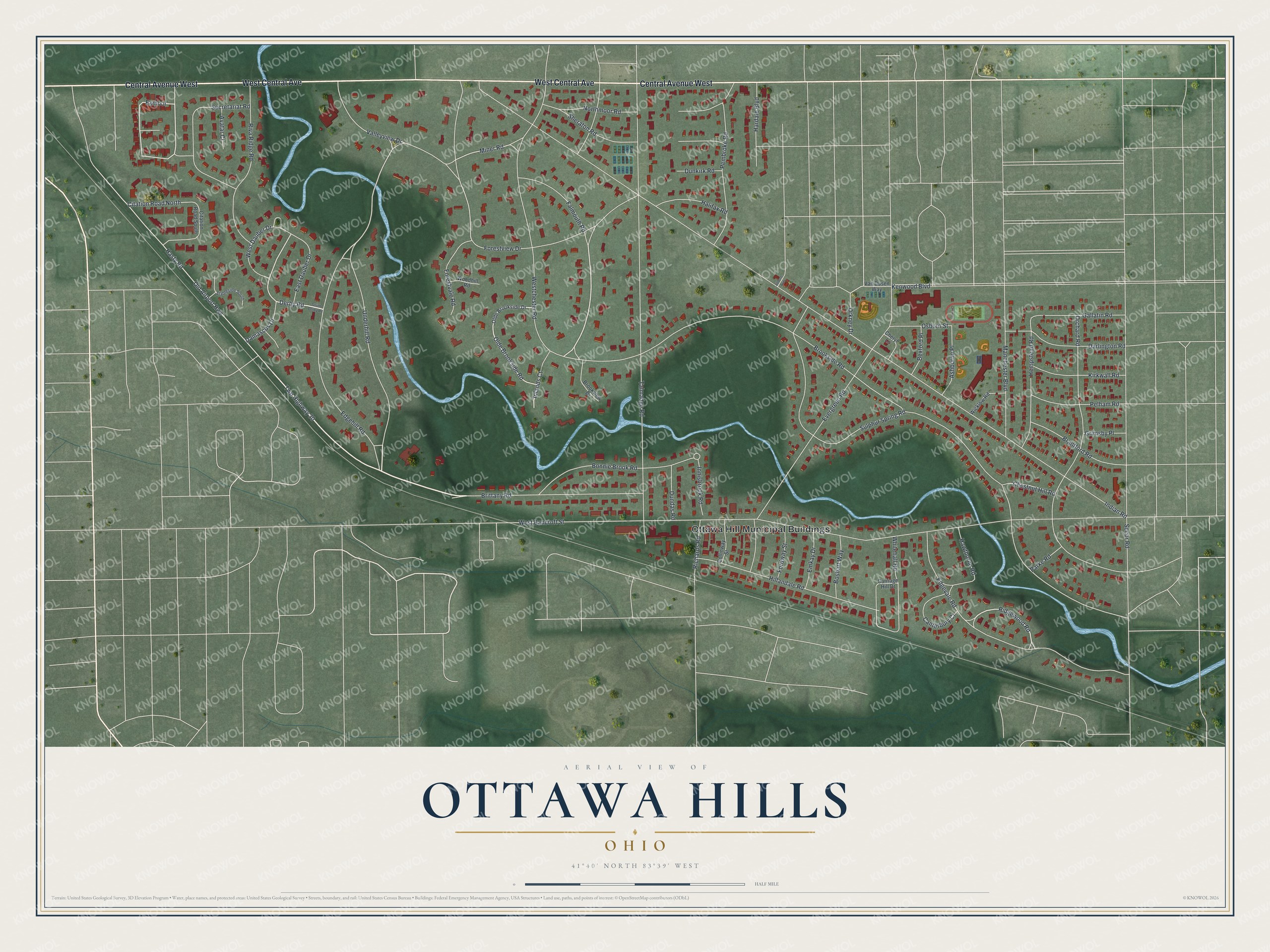
This beautifully detailed map of Ottawa Hills, Ohio was created in 2026 using aerial imagery combined with modern topographical, census, street and landmark data. It's a modern aerial view of Ottawa Hills in Lucas County, Ohio, that combines modern data with a vintage aesthetic. The roads feature printed names, and if you look closely you can find your exact house accurately shown in its correct location.
Explore an aerial view of Ottawa Hills, Ohio
On this map you'll find Ottawa Hill Municipal Buildings, Central Avenue West, West Central Avenue, Brittany Road, Underhill Road, Twp Highway 30, Falmouth Road, Ridgewood Road, Exmoor, Olde Brookside Road, Derby Road, Brookside Road, and more. Each red shape is a building, so zoom in on the preview and look for yours.
Ottawa Hills is a village in Lucas County. The Census Bureau counted 4,790 people here in 2020. The map prints the town name in its title panel, with the coordinates below it.
Take a closer look at the Ottawa Hills map
Names on this map
These names are printed on this map.
Places: Ottawa Hill Municipal Buildings.
Streets and roads: Central Avenue West, West Central Avenue, Brittany Road, Underhill Road, Twp Highway 30, Falmouth Road, Ridgewood Road, Exmoor, Olde Brookside Road, Derby Road, Brookside Road, Edgehill Road.
More street names, A to Z
Ashborne Place, Avatar Court, Bexford Place, Bonnie Brook Road, Boshart Way, Brantford Road, Brookview Drive, Canterbury Court, Carriage Hill Drive, Cheryl Lane, Chestnut Hill Road, Citation Road North, Citation Road South, Collinway Street, Damascus Drive, Darlington Road, Dundas Road, Dunkirk Road, East Dauber Drive, Edgevale Road, Emkay Drive, Evergreen Road, Fordway Street, Forestvale Road, Forestview Drive, Gallatin Road, Grimsby Place, Halifax Road, Hardale Boulevard, Hasty Road, Hawthorne Road, Hempstead Road, Hillandale Road, Indian Road, Inlands Court, Innisbrook Road, Jodore Avenue, Kenwood Boulevard, Kirkwall Road, Manchester Boulevard, Miner Road, Northmoor Road, Old Airport Highway, Olde Brookside Drive, Orchard Road, Orkney Drive, Osborn Street, Parke Road, Pelham Road, Pembroke Road, Richards Road, Riva Ridge Road, Secor Road, Secretariat Road, Sheraton Road, South Derby Road, Stableside South, Sulphur Spring Road, Talmadge Road, Valleyview Drive, Van Dusen Way, West Bancroft Street, Westchester Road, West Dauber Drive, Whitehall Road, Wicklow Road, Woodhill Road.
Created by KNOWOL in 2026. The buildings are small red shapes, the roads carry their printed names, and shaded relief shows the shape of the land. The title panel reads "AERIAL VIEW OF OTTAWA HILLS OHIO" with 4, 1, °, 4, 0, ', , N, O, R, T, H, , 8, 3, °, 3, 9, ', , W, E, S, T.
It suits a den, a classroom or a front hall, and it makes a gift for anyone with Ottawa Hills roots. Open the preview and find the block you know. See sizes and frames for the Ottawa Hills map.