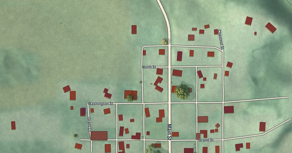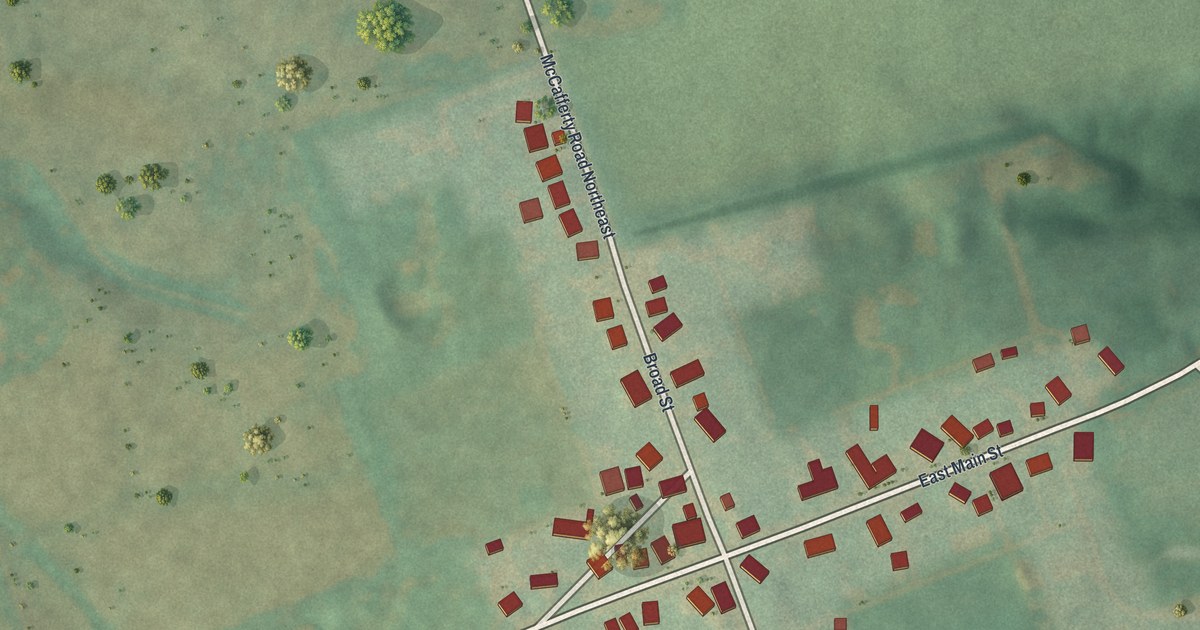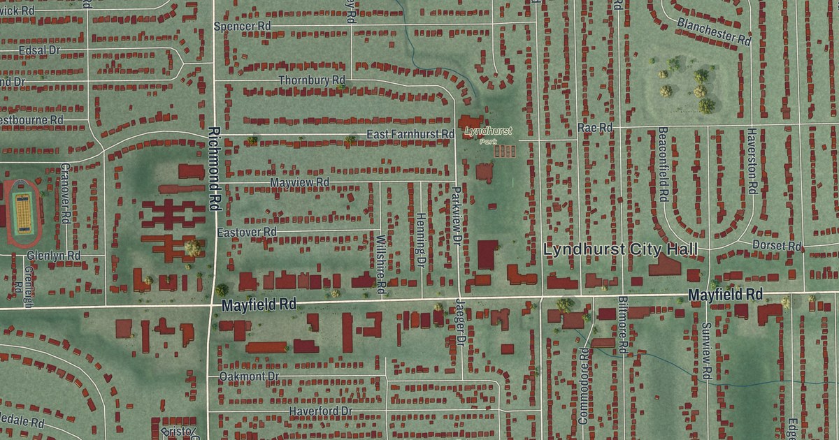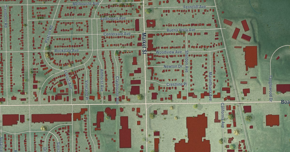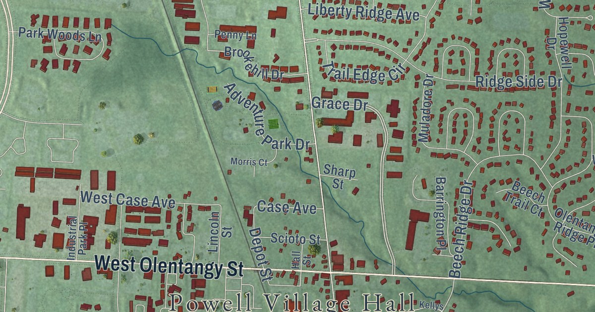
This beautifully detailed map of Powell, Ohio was created in 2026 using aerial imagery combined with modern topographical, census, street and landmark data. It’s a one-of-a-kind view of Powell that combines accurate data with a vintage aesthetic. The map shows every building in its true location, many of the roads carry their names, and the shaded topographic relief shows the shape of the land.
Explore an aerial view of Powell, Ohio
On the map you’ll find Powell Village Hall and Adventure Park, along with West Olentangy Street, Sawmill Parkway, East Olentangy Street, Home Road, Liberty Road, Ashmoore Drive, Liberty Ridge Avenue, South Liberty Street, Case Avenue, Bennett Parkway, and more. If you look closely you can even find your house accurately drawn in its correct location. Zoom in on the preview to look for yours.
Did you know this piece of Powell, Ohio history?
From the City of Powell: "There was a settlement in Powell by 1813, and it was called Middlebury, named after the home of many of the first settlers who came from Connecticut. However, in 1857, Judge Thomas Powell from Delaware, Ohio established the Village's first post office and the townspeople decided to rename the village in his honor."
Take a closer look at the Powell map
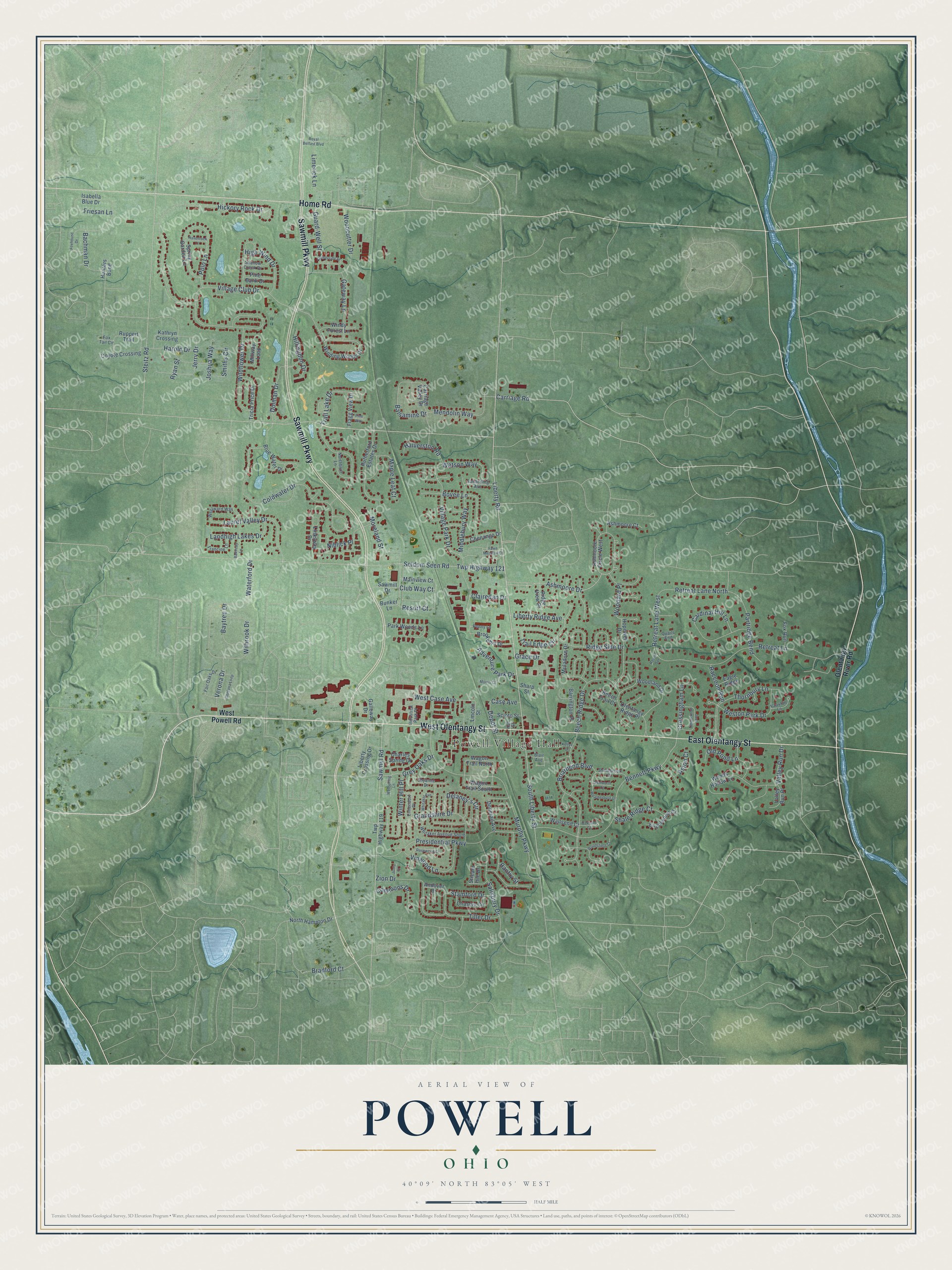
Street and place names on the Powell, Ohio map
These names are printed on the map of Powell, Ohio.
Places: Powell Village Hall.
Streets and roads: West Olentangy Street, Sawmill Parkway, East Olentangy Street, Home Road, Liberty Road, Ashmoore Drive, Liberty Ridge Avenue, Grace Drive, South Liberty Street, Case Avenue, Bennett Parkway, Ridge Side Drive.
More street names, A to Z
Adventure Park Drive, Andover Drive, Ashmoore Circle West, Ashmoore Court, Aston Court, Bachman Drive, Bakircay Lane, Balsamine Drive, Bantry Street, Barrington Place, Baytree Drive, Beech Ridge Drive, Beech Trail Court, Blair Avenue, Blue Water Drive, Bovee Lane, Bradford Court, Briarbend Boulevard, Brookehill Drive, Bunker Lane, Cardinal Hill Lane, Carriage Road, Carriage Valley Drive, Charles Spring Drive, Chasely Circle, Chenango Drive, Clairedan Drive, Club Way Court, Coldwater Drive, Commons Drive, Cordona Loop, Coyote Crossing, Cressingham Lane, Delaney's Circle, Depot Street, Dolman Drive, Donerail Avenue, Eagle Ridge, Elmendorf Place, Engelwood Court, Fair Oaks Drive, Fawn Meadow Court, Flagg View Drive, Foxhound Drive, Fox Run, Fox Tail Circle, Francine Lane, Friesan Lane, Galloway Drive, Gateway Lane, Glenworth Court, Grandshire Drive, Grey Oaks Drive, Guard-Well Street, Hall Street, Halverston Road, Harold Drive, Havenrock Lane, Hickory Rock Drive, High Wind Drive, Hillingdon Drive, Hopewell Drive, Hunters Bend, Industrial Park Place, Isabella Blue Drive, Jerry Drive, Joshua Way, Junia Court, Kathryn Crossing, Kellys Court, Landhigh Lakes Drive, Laurel Valley Drive, Liberty Crossing Drive, Limerick Lane, Lincoln Street, Linksway Drive, Mainview Court, Maple Leaf Court, Mendolin Way, Middlebury Way, Millway Loop, Moreland Street, Morris Court, Muladore Drive, Murphy Parkway, Niblick Place, Northbluff Lane, North Hampton Drive, Oakham Court, Old Pond Lane, Olentangy Ridge Place, Olentangy River Road, Park Woods Lane, Partridge Bend, Penny Lane, Pine Bank Drive, Pine Way, Polo Lane, Presidential Parkway, Quails End, Raccoon Run, Raven Spr, Resort Court, Retreat Lane, Retreat Lane North, Retreat Lane West, Ridge View Place, Rosewood Court, Royal Belfast Boulevard, Ruppert Trail, Rutherford Estates Drive, Ryan Street, Salisbury Drive, Sanderling Avenue, Sawmill Drive, Sawmill Road, Scioto Street, Seldom Seen Road, Shalebrook Drive, Shale Ridge Court, Shallow Creek Drive, Sharp Street, Shyanne Drive, Smiths Circle, Spring Garden Lane, Stamford Drive, Steitz Road, Stream Isle Drive, Thornbury Lane, Tiller Drive, Timberknoll Loop, Timberside Drive, Trail Edge Circle, Trail Lake Drive, Tricia Price Drive, Twp Highway 119, Twp Highway 121, Valley Run Drive, Valley Run Place, Vauxhill Lane, Verona Drive, Village Club Drive, Village Park Drive, Vinwood Lane, Wagon Trail North, Wagon Trail South, Wallsend Court, Waterford Drive, Watson Way, Weatherburn Drive, Wellspring Lane, West Case Avenue, Weston Park Drive, West Powell Road, Westward Way, Whitaker Avenue, Whitaker Avenue South, Wilbrook Drive, Wildflower Drive, Winding Woods Drive, Windy Forest Lane, Winter Hill Place, Woodard Place, Woodcutter Drive, Woodland Drive, Woodsfield Court, Woods Hollow Lane, Zion Drive.
See the Powell, Ohio map on a wall
The Powell map as an 18 x 24 inch print in a black frame.

This beautifully detailed map of Powell makes an attractive addition to your office, library, or den, and it can even be used to teach children the geography and history of the area. It also makes a great gift for anyone who grew up in Powell or moved away. When you’re done exploring, click here to get your copy of the Powell map.