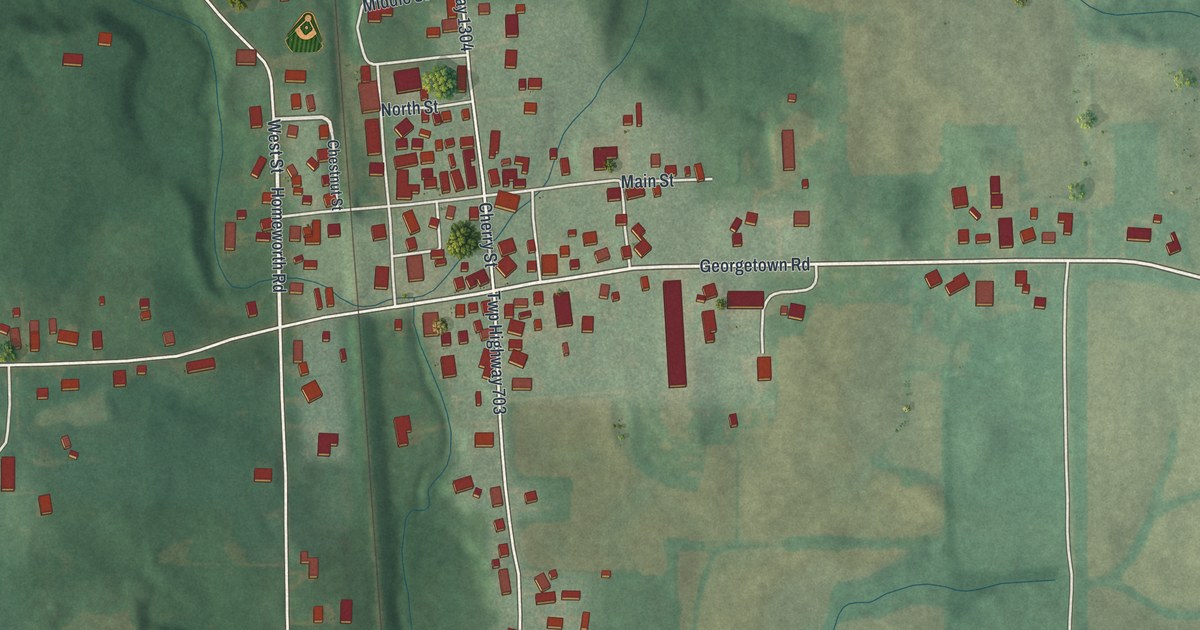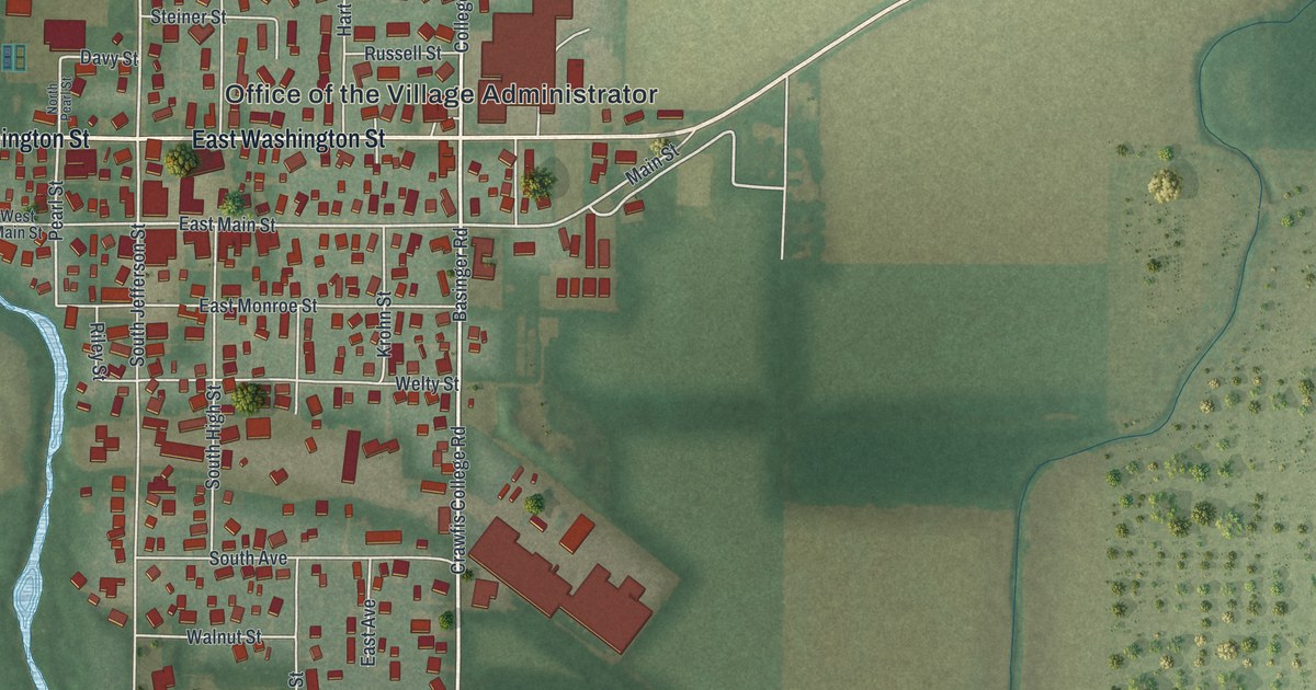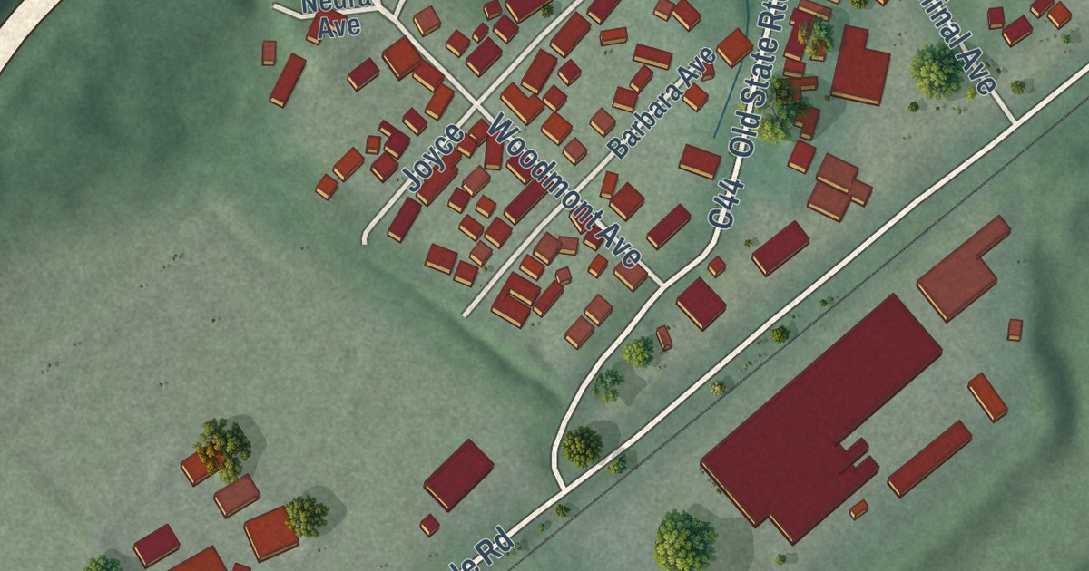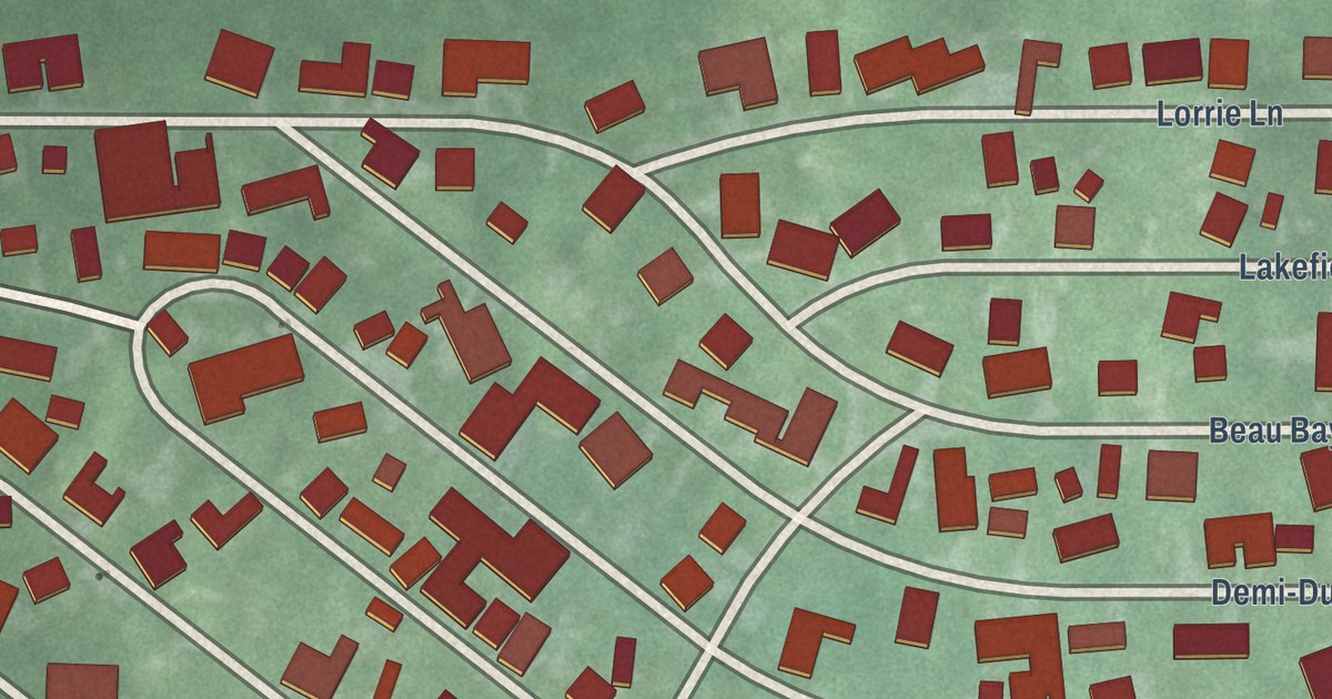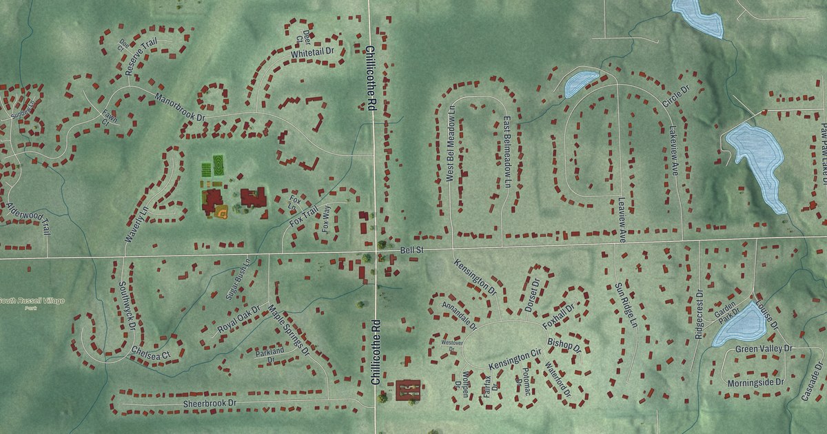
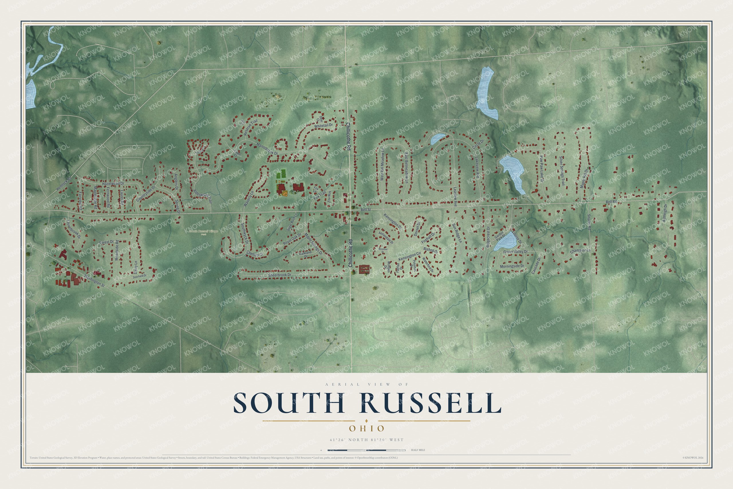
This beautifully detailed map of South Russell, Ohio was created in 2026 using aerial imagery combined with modern topographical, census, street and landmark data. It’s a one-of-a-kind view of South Russell that combines accurate data with a vintage aesthetic. The map shows every building in its true location, many of the roads carry their names, and the shaded topographic relief shows the shape of the land.
Explore an aerial view of South Russell, Ohio
On the map you’ll find South Russell Village Park, along with Chillicothe Road, Hemlock Road, Green Valley Drive, Daisy Lane, West Bel Meadow Lane, Bell Road, Bell Street, Manorbrook Drive, Lakeview Avenue, Sheerbrook Drive, Leaview Avenue, and more. If you look closely you can even find your house accurately drawn in its correct location. Zoom in on the preview to look for yours.
Did you know this piece of South Russell, Ohio history?
From the Ohio History Connection: "In 1914, the more rural line from Chagrin Falls traveling eastward became the first major interurban in the United States to cease operations."
Take a closer look at the South Russell map
Street and place names on the South Russell, Ohio map
These names are printed on the map of South Russell, Ohio.
Places: South Russell Village Park.
Streets and roads: Chillicothe Road, Paw Paw Lake Drive, Hemlock Road, Green Valley Drive, Daisy Lane, West Bel Meadow Lane, Bell Road, Bell Street, Manorbrook Drive, Lakeview Avenue, Sheerbrook Drive, Leaview Avenue.
More street names, A to Z
Alderwood Trail, Anglers Drive, Annandale Drive, Ashleigh Drive, Bishop Drive, Cascade Drive, Champion Lane, Chelsea Court, Circle Drive, Countryside Drive, Deer Court, Deerfield Drive, Doe Court, Dorset Drive, East Belmeadow Lane, Fairfax Drive, Fairview Road, Fawn Court, Fernwood Road, Forest Drive, Foxhall Drive, Fox Lane, Fox Trail, Fox Way, Garden Park Drive, Hazelwood Drive, Kensington Circle, Kensington Drive, Laurelbrook Drive, Laurel Road, Louise Drive, Maple Hill Drive, Mapleridge Road, Maple Springs Drive, Morningside Drive, Parkland Drive, Potomac Drive, Reserve Trail, Ridgecrest Drive, Royal Oak Drive, Silver Springs Trail, Snyder Road, Southwyck Drive, Spring Drive, Sugar Bush Lane, Sundew Lane, Sun Ridge Lane, Washington Street, Waterford Drive, Waverly Lane, Westover Drive, Whitetail Drive, Wolfpen Drive, Woodside Road.
See the South Russell, Ohio map on a wall
The South Russell map as an 18 x 24 inch print in a black frame.

This beautifully detailed map of South Russell makes an attractive addition to your office, library, or den, and it can even be used to teach children the geography and history of the area. It also makes a great gift for someone who left South Russell and still calls it home. When you’re done exploring, click here to get your copy of the South Russell map.