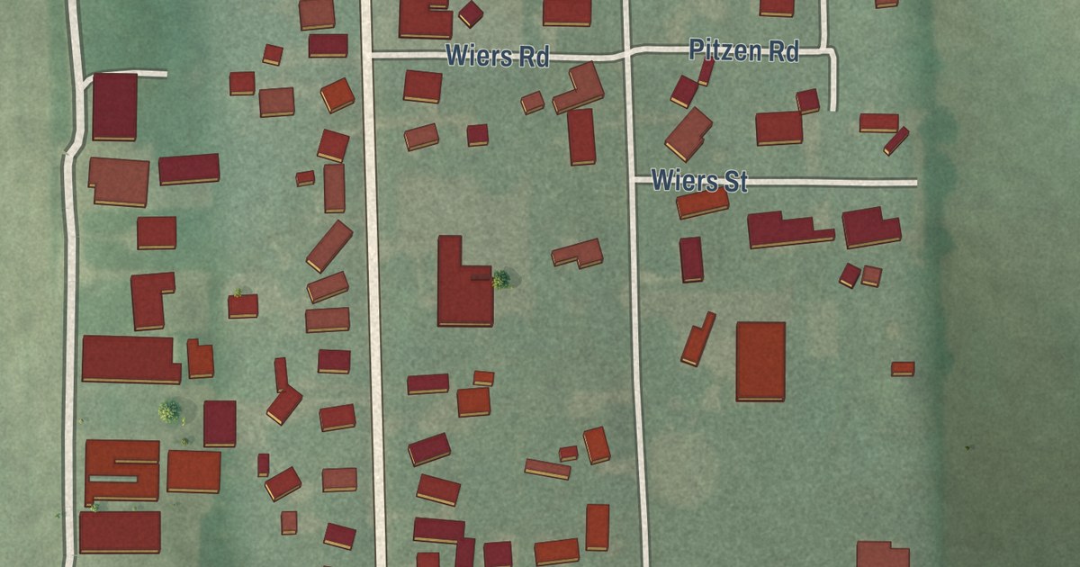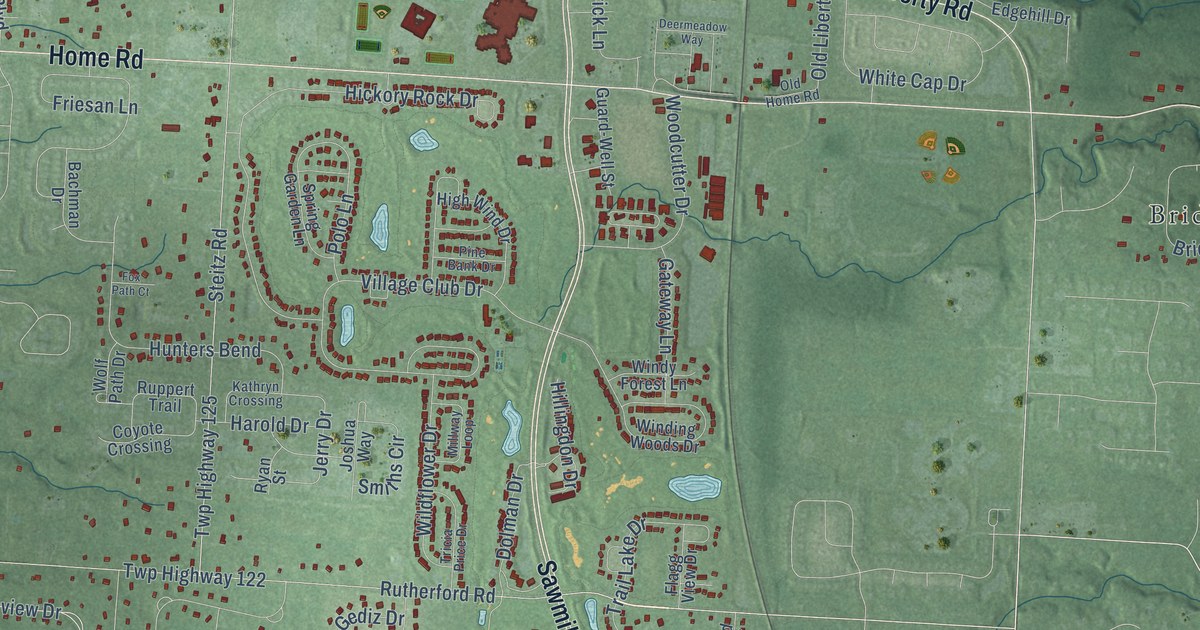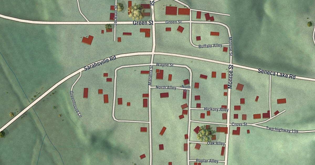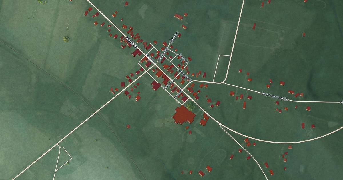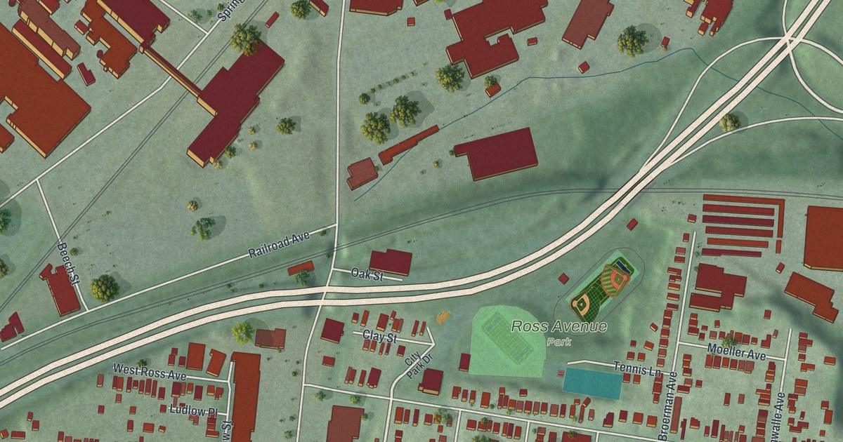
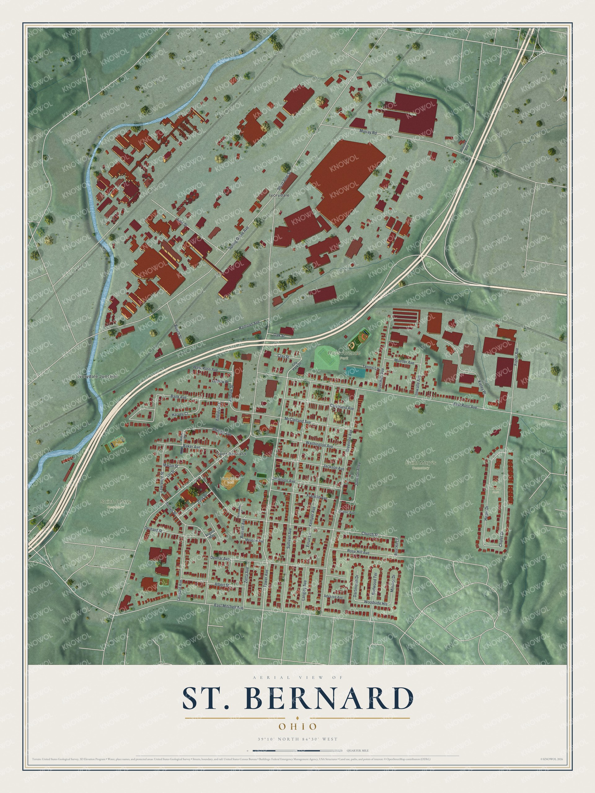
This beautifully detailed map of St. Bernard, Ohio was created in 2026 using aerial imagery combined with modern topographical, census, street and landmark data. It’s a one-of-a-kind view of St. Bernard that combines accurate data with a vintage aesthetic. The map shows every building in its true location, many of the roads carry their names, and the shaded topographic relief shows the shape of the land.
Explore an aerial view of St. Bernard, Ohio
On the map you’ll find Ross Avenue Park, Saint John’s Cemetery, Saint Mary’s Cemetery, Lytle Park, Vine Street Park, Alpine Park, Ivorydale, Ivorydale Junction, and Woodside Heights, along with Tower Avenue, Chalet Drive, and more. If you look closely you can even find your house accurately drawn in its correct location. Zoom in on the preview to look for yours.
Did you know this piece of St. Bernard, Ohio history?
From the 1894 History of Cincinnati and Hamilton County, Ohio: "The incorporated village of St. Bernard includes the town of that name and the adjoining village of Ludlow Grove. St. Bernard was laid out in 1850 by Joseph Kleine and J. B. Schroder, to whose subdivision those of Stephen Kemper, Lawrence Schroder, H. J. Witte, and Elwood Alkemeyer have since been added."
Take a closer look at the St. Bernard map
Street and place names on the St. Bernard, Ohio map
These names are printed on the map of St. Bernard, Ohio.
Places: Ross Avenue Park, Saint John’s Cemetery, Saint Mary’s Cemetery, Lytle Park, Vine Street Park, Alpine Park, Ivorydale, Ivorydale Junction and Saint Bernard.
Streets and roads: Tower Avenue, Woodside Heights, Chalet Drive, Short Vine Street, East Mitchell Avenue, East Ross Avenue, Spring Grove Avenue, Sullivan Avenue, Greenlee Avenue, Church Street, Bank Avenue, Murray Road.
More street names, A to Z
Advance Avenue, Albert Street, Andalus Court, Andrew Street, Angels Way, Baker Avenue, Baker Place, Beech Street, Bertus Street, Broerman Avenue, Burnett Avenue, City Park Drive, Clay Street, Cleveland Avenue, Dartmouth Drive, Delmar Avenue, Errun Lane, Fisher Avenue, Franklin Avenue, Harvey Court, Heger Drive, Imwalle Avenue, Jackson Avenue, Jefferson Avenue, Johnson Alley, June Street, Kemper Avenue, Kieley Place, Langley Avenue, Lawrence Street, Leonard Avenue, Leo Street, Ludlow Place, Martin Street, McClelland Avenue, Meadow Avenue, Minmor Drive, Moeller Avenue, Oak Street, Orchard Street, Park Place, Phillips Avenue, Prosser Avenue, Railroad Avenue, Redwood Terrace, Rose Hill Avenue, Rose Hill Lane, Scenic Avenue, Schroeder Lane, Tennis Lane, Washington Avenue, West Ross Avenue, Zetta Avenue.
See the St. Bernard, Ohio map on a wall
The St. Bernard map as an 18 x 24 inch print in a black frame.

This beautifully detailed map of St. Bernard makes an attractive addition to your office, library, or den, and it can even be used to teach children the geography and history of the area. It also makes a great gift for anyone with St. Bernard roots. When you’re done exploring, click here to get your copy of the St. Bernard map.