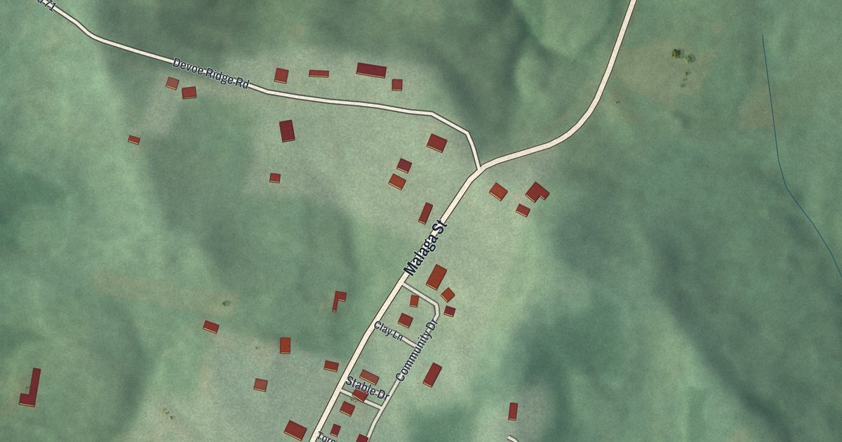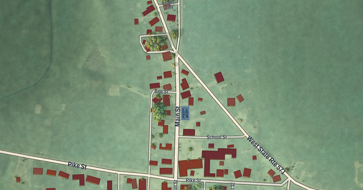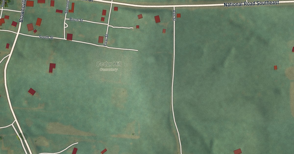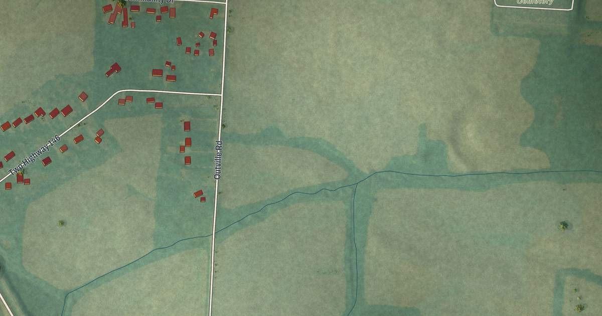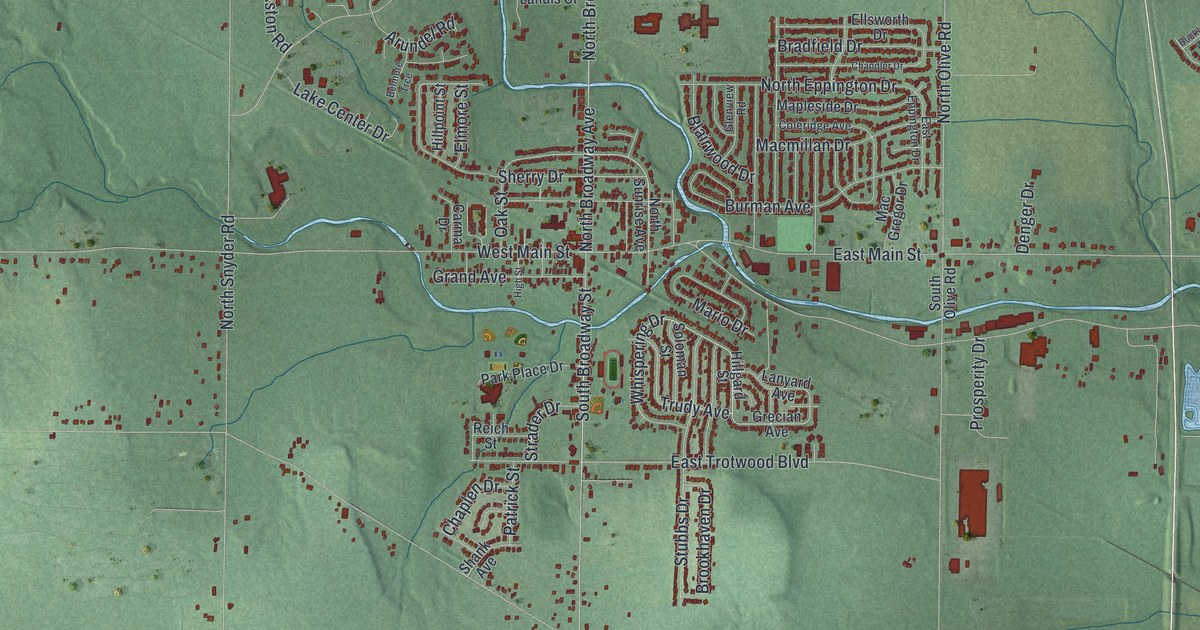
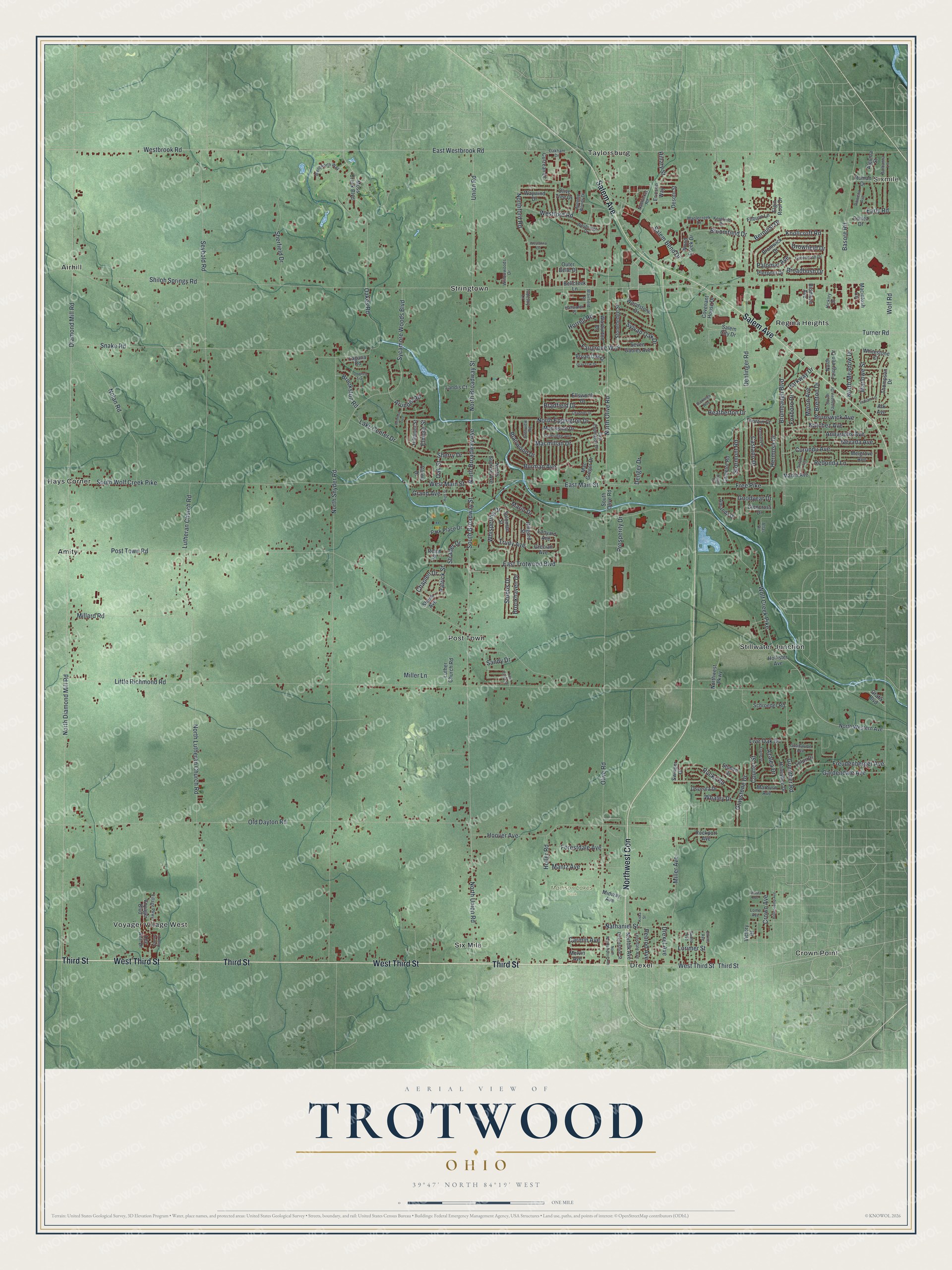
This beautifully detailed map of Trotwood, Ohio was created in 2026 using aerial imagery combined with modern topographical, census, street and landmark data. It’s a one-of-a-kind view of Trotwood that combines accurate data with a vintage aesthetic. The map shows every building in its true location, many of the roads carry their names, and the shaded topographic relief shows the shape of the land.
Explore an aerial view of Trotwood, Ohio
On the map you’ll find Sixmile, Madison Lakes Park, Airhill, Amity, Crown Point, Drexel, Hays Corner, Post Town, Regina Heights, Stillwater Junction, Stringtown, and more. If you look closely you can even find your house accurately drawn in its correct location. Zoom in on the preview to look for yours.
Did you know this piece of Trotwood, Ohio history?
From the 1909 History of the City of Dayton and Montgomery County, Ohio: "Trotwood was indebted for its existence to L. R. Pfoutz, who in 1854, built a business house and supplied the beginning for the village."
Take a closer look at the Trotwood map
Street and place names on the Trotwood, Ohio map
These names are printed on the map of Trotwood, Ohio.
Places: Sixmile, Madison Lakes Park, Airhill, Amity, Crown Point, Drexel, Hays Corner, Post Town, Regina Heights, Six Mile, Stillwater Junction, Stringtown, Taylorsburg and Voyager Village West.
Streets and roads: Third Street, West Third Street, Salem Avenue, Northwest Con, Trudy Avenue, Whispering Drive, Westbrook Road, North Union Road, Shiloh Springs Road, East Westbrook Road, Diamond Mill Road, North Diamond Mill Road.
More street names, A to Z
Algoma Street, Amanda Drive, Annapolis Avenue, Ark Avenue, Arundel Road, Atlas Drive, Autumn Woods Drive, Azalea Drive, Barbanna Lane, Basore Road, Bellcreek Lane, Belmore Trce, Berquist Drive, Biddison Avenue, Blairfield Place, Blairwood Drive, Bloomfield Drive, Bradfield Drive, Brenton Drive, Broadbush Drive, Broad Oak Drive, Bromwick Drive, Brookhaven Drive, Brookston Road, Brumbaugh Boulevard, Brunswick Avenue, Buckleigh Way, Burman Avenue, Camelot Road, Carma Drive, Carmin Avenue, Castano Drive, Chandler Drive, Chaplen Drive, Coleridge Avenue, Cortez Drive, Country Club Drive, Courter Street, Covenant House Drive, Crown Avenue, Culzean Drive, Curundu Avenue, Darien Drive, Denger Drive, Denlinger Road, Desoto Street, Devonshire Street, Downey Trail, Drexel Avenue, Drowfield Drive, Early Road, East Eppington Drive, East Main Street, East Trotwood Boulevard, Elaine Street, Elgin Roof Drive, Elkins Avenue, Ellsworth Drive, Elmore Street, Ericson Way, Fairgrove Way, Filburn Lane, Forestdale Avenue, Foxboro Drive, Free Pike, Freudenberger Avenue, Gardendale Avenue, Glencross Drive, Glenview Road, Goodyear Drive, Grafix Boulevard, Grand Avenue, Gray Oak Drive, Graystone Drive, Grecian Avenue, Greencroft Drive, Guadalupe Avenue, Guenther Road, Hallworth Place, Hanna Avenue, Heatherton Drive, Hermosa Drive, Hickory Drive, High Street, Hillary Street, Hillgard Street, Hillpoint Street, Hollencamp Avenue, Holler Road, Hollister Avenue, Honeybee Drive, Hoover Avenue, Horrell Road, Indian Lane, Kentfield Drive, Kiska Street, Knollcroft Road, Laguna Road, Lake Center Drive, Landis Court, Lanyard Avenue, Lee Ann Drive, Lensdale Avenue, Little Richmond Road, Live Oak Drive, Lome Avenue, Lorimer Street, Lotus Drive, Lutheran Church Road, Luther Church Road, Mac Gregor Drive, Macintosh Circle, Macmillan Drive, Mandalay Drive, Mantz Avenue, Maplecreek Drive, Mapleside Drive, Marburn Avenue, Mario Drive, Marlin Avenue, Marlowe Street, Melgrove Avenue, Melvin Avenue, Midway Avenue, Millard Road, Miller Avenue, Miller Lane, Moss Creek Boulevard, Myron Avenue, Nantucket Road, Natchez Avenue, Nathaniel Street, Nevada Avenue, Nolan Road, Norfolk Avenue, North Broadway Avenue, North Broadway Street, North Eppington Drive, North Fairgreen Drive, Northford Road, North Lutheran Church Road, North Meadow Drive, North Northampton Avenue, North Olive Road, North Snyder Road, North Sunrise Avenue, North Western Avenue, Northwest Parkway, Oakes Road, Oakham Drive, Oak Street, Old Dayton Road, Olive Road, Olive Tree Drive, Osceola Drive, Outer Belle Drive, Palomar Avenue, Park Place Drive, Parkway Drive, Patrick Street, Penrod Avenue, Pierpont Drive, Post Town Road, Prosperity Drive, Redonda Lane, Reich Street, Rockport Avenue, Roman Drive, Rowena Avenue, Rucks Road, Runyon Avenue, Salem Bend Drive, Salem City Drive, Sandy Drive, Schroeder Road, Seven Gables Avenue, Seybold Road, Shank Avenue, Shasta Avenue, Sherfield Drive, Sherry Drive, Snake Road, Soloman Street, South Broadway Street, South Fairgreen Drive, South Olive Road, South Wolf Creek Pike, Stonehedge Street, Stormont Road, Strader Drive, Stubbs Drive, Stuben Drive, Swinger Drive, Sycamore Woods Boulevard, Sylvan Oak Drive, Tapestry Lane, Thompson Drive, Thorain Court, Turner Road, Twin Creek Drive, Union Road, Victory Drive, Village Parkway, Voyager Boulevard, Warburton Drive, Waywind Drive, Wentworth Way, Westanna Drive, Westford Road, West Main Street, Weybridge Drive, Whaley Drive, Whitestone Court, Willowwoods Drive, Wolf Creek Pike, Wolf Road, Wood Creek Drive, Woodstone Drive.
See the Trotwood, Ohio map on a wall
The Trotwood map as an 18 x 24 inch print in a black frame.

This beautifully detailed map of Trotwood makes an attractive addition to your office, library, or den, and it can even be used to teach children the geography and history of the area. It also makes a great gift for anyone with Trotwood roots. When you’re done exploring, click here to get your copy of the Trotwood map.