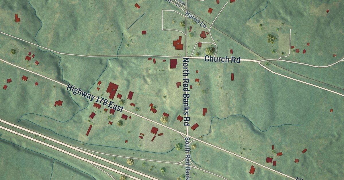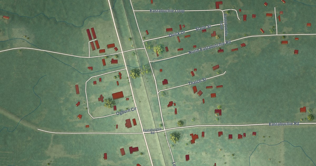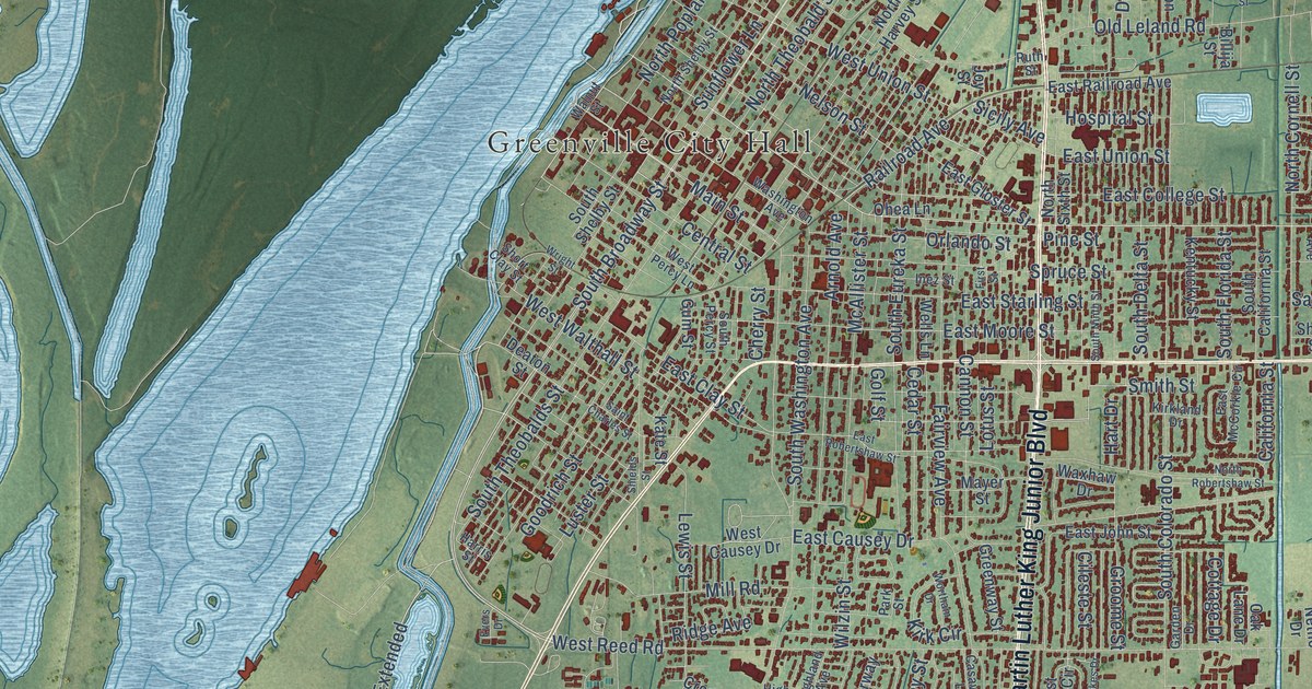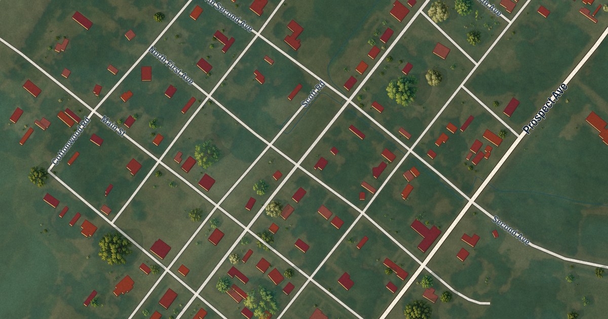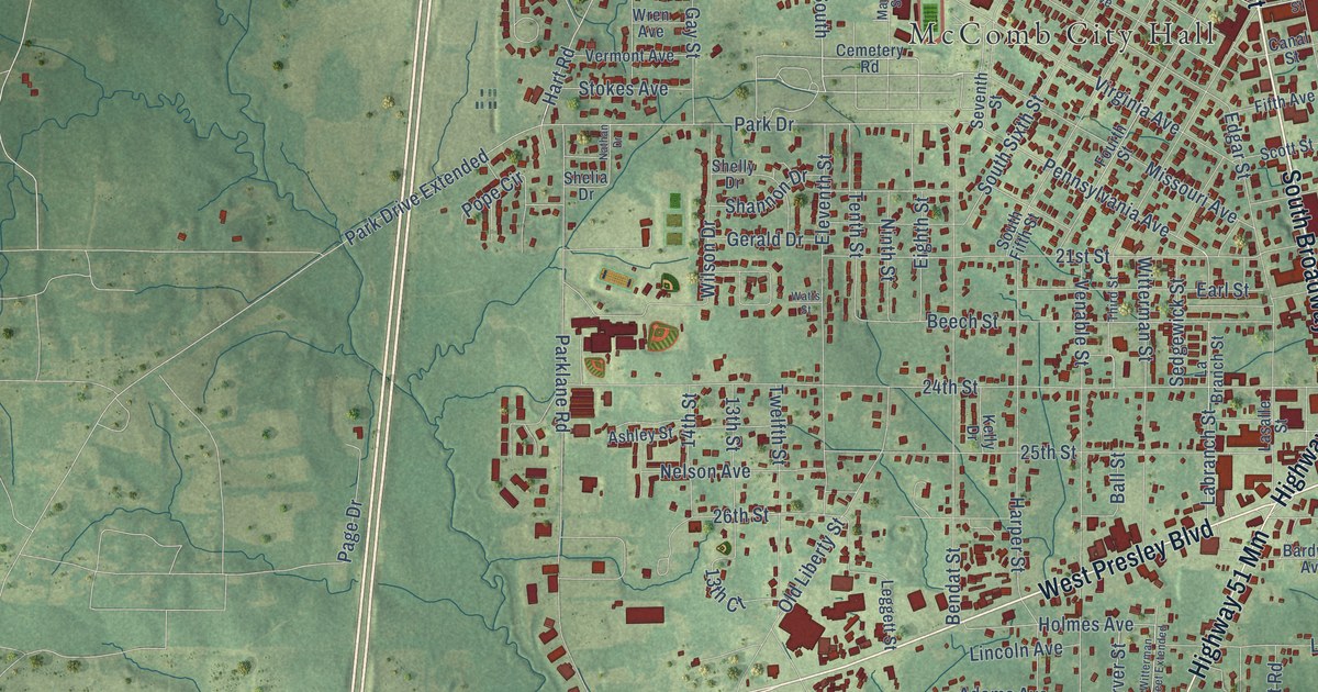
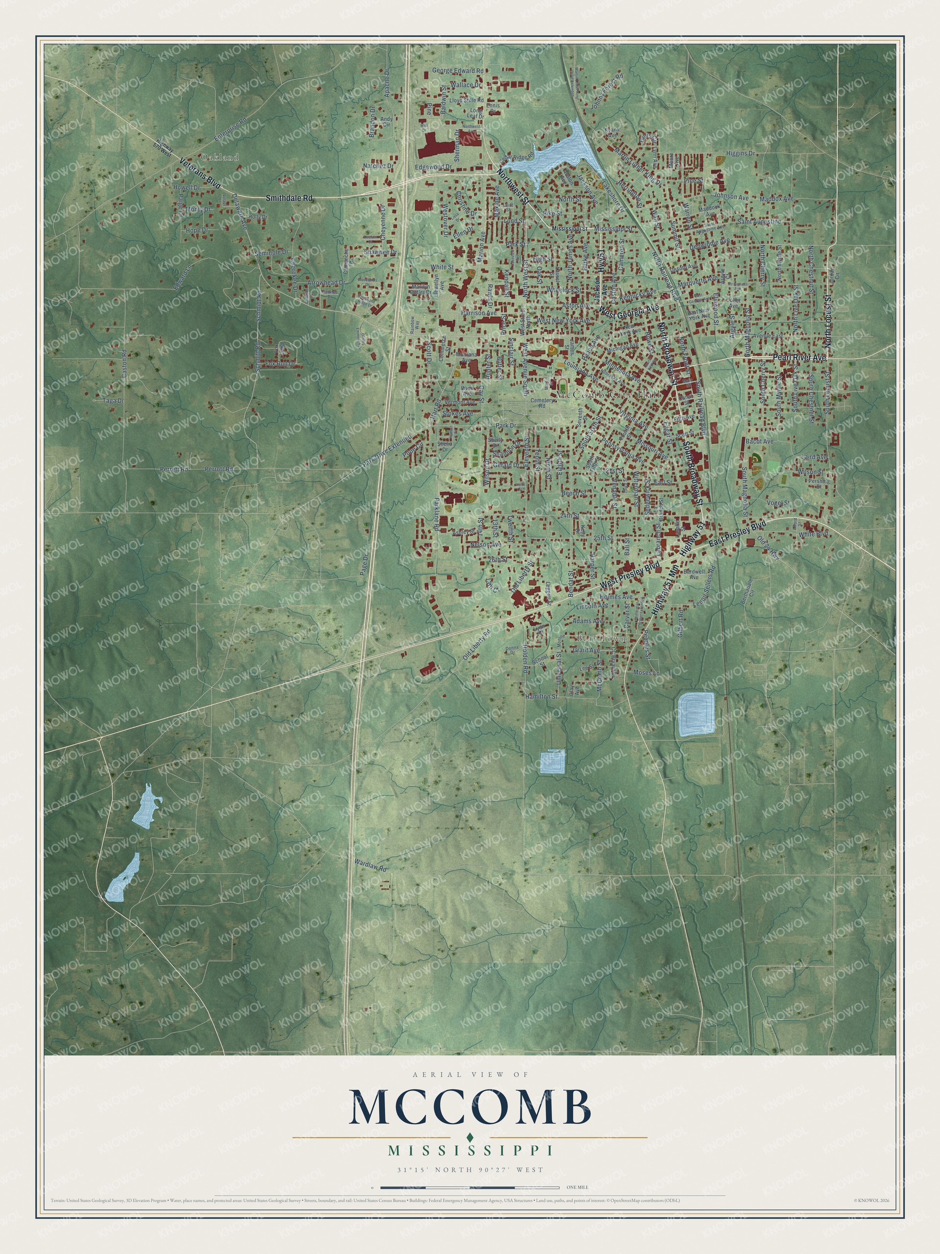
This beautifully detailed map of McComb, Mississippi was created in 2026 using aerial imagery combined with modern topographical, census, street and landmark data. It’s a one-of-a-kind view of McComb that combines accurate data with a vintage aesthetic. The map shows every building in its true location, many of the roads carry their names, and the shaded topographic relief shows the shape of the land.
Explore an aerial view of McComb, Mississippi
On the map you’ll find McComb City Hall, Oakland, and Bear Town, along with Smithdale Road, South Broadway Street, North Broadway Street, East Presley Boulevard, Northwest Street, Highway 51, Veterans Boulevard, Pearl River Avenue, West Georgia Avenue, and more. If you look closely you can even find your house accurately drawn in its correct location. Zoom in on the preview to look for yours.
Did you know this piece of McComb, Mississippi history?
From Mississippiencyclopedia.org: "Gladys Noel Bates, an educator who became a civil rights activist, was born in McComb in 1920. McComb’s Vernor Smith Holmes, a member of the Board of Trustees of the Mississippi Institutions of Higher Learning as well as a surgeon, consistently called for responsible and fair education for all state residents."
Take a closer look at the McComb map
Street and place names on the McComb, Mississippi map
These names are printed on the map of McComb, Mississippi.
Places: McComb City Hall, Oakland and Bear Town.
Streets and roads: Smithdale Road, South Broadway Street, North Broadway Street, East Presley Boulevard, Northwest Street, Highway 51, Veterans Boulevard, Pearl River Avenue, West Georgia Avenue, Highway 51 Mm, Hwy51, North Locust Street.
More street names, A to Z
13th Court, 13th Street, 14th Street, 21st Street, 24th Street, 25th Street, 26th Street, Adams Avenue, Alford Street, Andy Circle, Apache Drive, Argyle Court, Argyle Street, Arrowhead Drive, Ashley Street, Aston Avenue, Avalon Avenue, Avenue East, Bacot Avenue, Baldwin Street, Ball Street, Bardwell Avenue, Beech Street, Bendat Street, Berthadale Circle, Brandon Drive, Burke Avenue, Butler Street, Cameron Street, Canal Street, Carver Street, Caston Avenue, Caston Road, CC Bryant Drive, Cedar Ridge Road, Cemetery Road, Cherokee Drive, Cheyenne Drive, Choctaw Drive, Christine Drive, Clay Avenue, Comanche Drive, Commerce Street, Deelani Court, Delaware Avenue, Denwiddie Avenue, Desoto Avenue, Donna Drive, Earl Street, East Georgia Avenue, East New York Avenue, Edgar Street, Edgewood Drive, Edward Lane, Eighth Street, Eleventh Street, Ellen Drive, Elmwood Street, Ennis Drive, Enterprise Road, Evans Avenue, Fifth Avenue, Fourth Street, Fox Loop, Fox Run Drive, Gay Street, George Edward Road, Gerald Drive, Gilbert Road, Gillis Circle, Grant Avenue, Hamilton Street, Harper Street, Harrison Avenue, Hart Road, Herrington Street, Higgins Drive, High Street, Highway 570 West, Holden Road, Holly Drive, Holmes Avenue, Hope Drive, Howell Drive, Howe Street, Hunter Street, Jackson Avenue, James Street, Johnny Forest Road, Johnson Avenue, Joliet Avenue, Jordan Circle, Kelly Drive, Kendall Street, Kentucky Avenue, Labranch Street, La Branch Street, Laird Avenue, Laird Street, Lakeshore Drive, Lakeview Avenue, Lasalle Street, Laurel Street, Lee Street, Leggett Street, Lenoir Sellers Road, Lincoln Avenue, Lissa Drive, Llewellyn Avenue, Lloyd Stille Road, Long Leaf Drive, Louisiana Avenue, Lund Street, Lynn Avenue, Lynn Place, Maddock Avenue, Maddox Avenue, Main Street, Mall Drive, Marilyn Butler Drive, Marion Avenue, Marquette Avenue, Martin Luther King Drive, Martin Luther King Drive Extended, Martin Street, Maxine Avenue, McComb Street, Mc Guiness Avenue, Michigan Avenue, Minnesota Avenue, Mississippi Street, Missouri Avenue, Monroe, Montana Avenue, Monty Drive, Moore Avenue, Moses Lane, Natchez Drive, Nathan Drive, Nebraska Avenue, Nelson Avenue, New York Avenue, Ninth Street, North Cherry Street, North Chestnut Street, North Fifth Street, North Front Street, North James Avenue, North Live Oak Street, North Magnolia Street, North Myrtle Street, North Railroad Boulevard, North Street, Northwest Avenue, North West Street, Oak Street, Old 24 Highway, Old Liberty Road, Old Liberty Street, Oliver Emmerich Drive, Page Drive, Paige Drive, Park Drive, Park Drive Extended, Parklane Road, Park Street, Pawnee Drive, Peach Avenue, Pennsylvania Avenue, Peoples Street, Perrett Road, Perrott Road, Pershing Street, Pike Street, Pine, Pine Street, Pope Circle, Price Street, Rainbow Way, Rawls Drive, Saint Augustine, Saint Augustine Avenue, Schmidt Road, Schmitt Road, School Street, Scott Drive, Scott Street, Sedgewick Street, Seminole Drive, Seventh Street, Shannon Drive, Shawnee Drive, Shelia Drive, Shelly Drive, Sherman Drive, Sinclair Street, South Cherry Street, South Chestnut Street, South Fifth Street, South Live Oak Street, South Locust Street, South Magnolia Street, South Myrtle Street, South Railroad Boulevard, South Sixth Street, Stokes Avenue, Summit Street, Taga Drive, Tenth Street, Third Street, Twelfth Street, Universal Street, Venable Street, Vermont Avenue, Village Lane, Virginia Avenue, Vogel Street, Wallace Drive, Wall Street, Wardlaw Road, Warren Street, Watts Street, West Avenue South, West New York Avenue, Westover Drive, West Presley Boulevard, West Street North, Wheelock Street, White Boulevard, White Street, Wilson Drive, Wilson Street, Witterman Street, Witterman Street Extended, Woodland Ridge Drive, Woodlands Drive, Wren Avenue.
See the McComb, Mississippi map on a wall
The McComb map as an 18 x 24 inch print in a black frame.

This beautifully detailed map of McComb makes an attractive addition to your office, library, or den, and it can even be used to teach children the geography and history of the area. It also makes a great gift for anyone who grew up in McComb or moved away. When you’re done exploring, click here to get your copy of the McComb map.