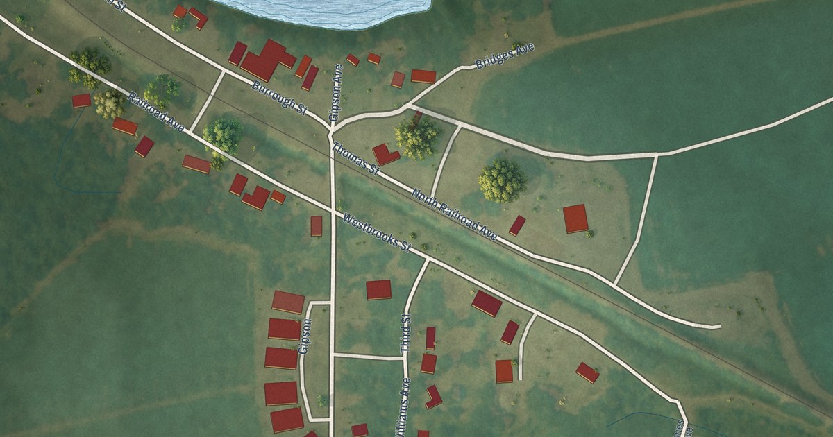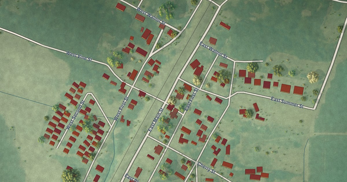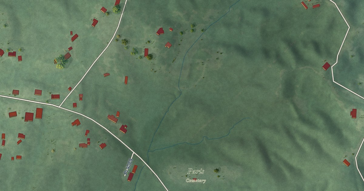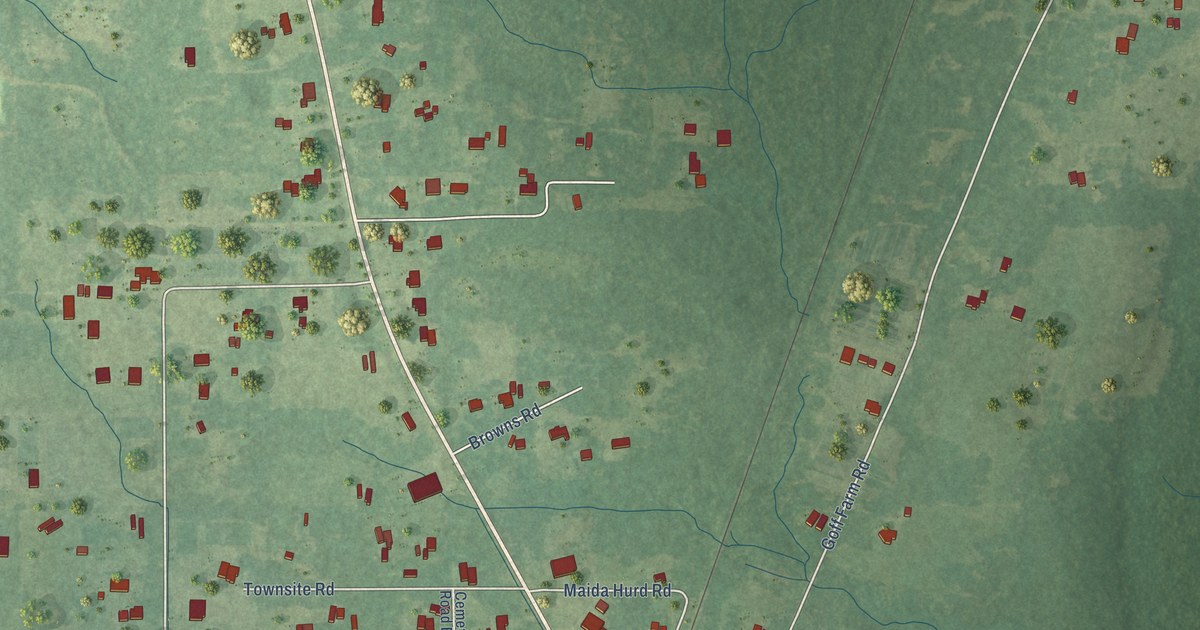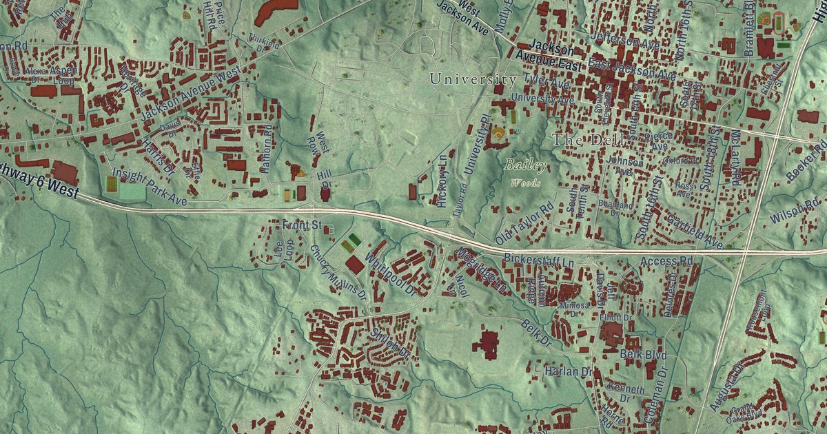
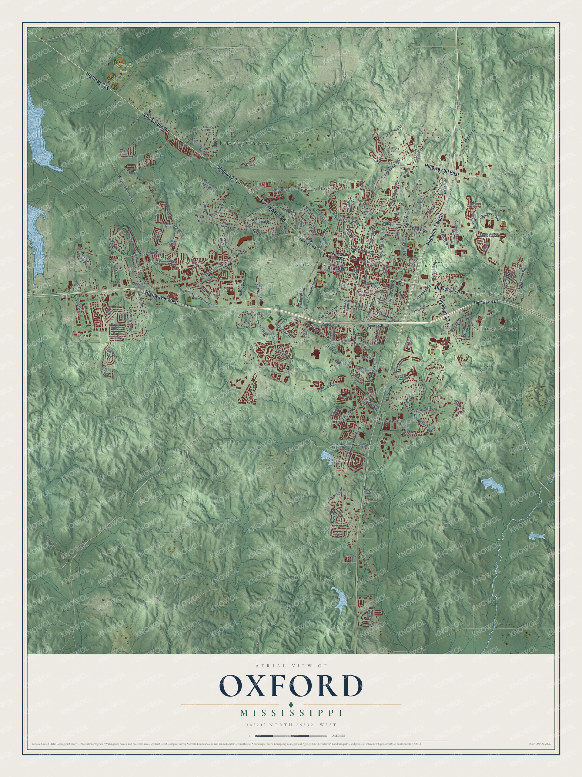
This beautifully detailed map of Oxford, Mississippi was created in 2026 using aerial imagery combined with modern topographical, census, street and landmark data. It’s a one-of-a-kind view of Oxford that combines accurate data with a vintage aesthetic. The map shows every building in its true location, many of the roads carry their names, and the shaded topographic relief shows the shape of the land.
Explore an aerial view of Oxford, Mississippi
On the map you’ll find Brittany Woods, Avent Park, Bailey Woods, mTrade Park, Lakeway Gardens, Molly Barr Cove, Ridgeland, Rollings Woods, The Dell, University, and Woodlawn, along with Highway 7 North, and more. If you look closely you can even find your house accurately drawn in its correct location. Zoom in on the preview to look for yours.
Did you know this about Oxford, Mississippi?
From Mississippiencyclopedia.org: "Beginning in the 1970s authors Willie Morris and Barry Hannah, who wrote while teaching at the University of Mississippi, and Larry Brown, an Oxford-born writer who lived in rural Tula, added to the town’s reputation as a place that valued creativity, especially on topics central to Mississippi life."
Take a closer look at the Oxford map
Street and place names on the Oxford, Mississippi map
These names are printed on the map of Oxford, Mississippi.
Places: Brittany Woods, Avent Park, Bailey Woods, Lakeway Gardens, Molly Barr Cove, Ridgeland, Rollings Woods, The Dell, University and Woodlawn.
Streets and roads: Highway 7 North, University Avenue, College Hill Road, Highway 6 West, Highway 314, Old Sardis Road, Highway 334, Highway 30 East, Old Taylor Road, Jefferson Avenue, Bramlett Boulevard, South Lamar Boulevard.
More street names, A to Z
44 Pr 3151, Access Road, Alexa Drive, Anchorage Road, Anderson Road, Aspen Loop, Augusta Drive, Autumn Ridge, Avent Street, Azalea Drive, Barron Street, Beanland Drive, Belk Boulevard, Belk Drive, Bickerstaff Lane, Bobby Street, Booker Road, Bowie Drive, Breckenridge Drive, Cannon Road, Cedar Street, Center Ridge Road, Charger Loop, Chestnut Street, Chickasaw Road, Christman Drive, Chucky Mullins Drive, Clubhouse Drive, Coleman Drive, Colonial Road, Combs Street, Commonwealth Boulevard, Country Club Road, Davis Drive, Delores Drive, Eagle Pointe Lp, Eagle Point Lp, Eagle Spring Road, East Jackson Avenue, Ed Perry Boulevard, Effie Circle, Elliott Drive, Elm Street, Exbury Drive, Farmview Drive, Fazio Drive, Forest Glen Drive, Front Street, Garfield Avenue, Garner Street, Grand Oaks Boulevard, Greystone Boulevard, Grove Hill Drive, Harlan Drive, Harris Drive, Hathorn Road, Hayat Loop, Heritage Drive, Hickory Lane, Highland Place, Highway 6 East, Hill Drive, Hillside Drive, Horne Road, Industrial Park Drive, Insight Park Avenue, Ivy Road, Jackson Avenue East, Jackson Avenue West, Jeff Davis Drive, Jeff Street, Johnson Avenue, Karen Loop, Kelly Lane, Kenneth Drive, King Street, Lakeway Drive, Lakewood Hill Drive, La Rhonda Drive, Laurel Cv, Lee Loop, Leighton Road, Lyles Drive, Majestic Oaks Drive, Maplewood Drive, McElroy Drive, McLarty Road, Meadow View Drive, Mimosa Drive, Mogridge Lane, Molly Barr Road, Morris Drive, Mulberry Lane, Murray Street, Nash Circle, News Hill Cv, Nicol Lane, North 14th Street, North 16th Street, North Lamar Boulevard, Nottingham Drive, Oak Place, Office Park Drive, Old Highway 7 North, Orrwood Drive, Ous Drive, Oxford Commons Boulevard, Oxford Place, Oxford Way, Park Drive, Patti Lane, Pea Ridge Farm Road, Pea Ridge Road, Pegues Road, Persimmon Lane, Peyton Circle, Philip Road, Pierce Avenue, Pin Oak Drive, Powers Drive, Price Hill Road, Price Street, Rayner Road, Redbud Lane, Refuge Springs, Ridgewood Manor Drive, Road 1060, Road 1064, Road 1084, Road 1090, Road 4058, Roosemont Loop, Ross Avenue, Royal Oaks Drive, Saint Andrews Circle, Salem Road, Sand Hill Drive, Sandy Cv, Shady Oaks Circle, Sheila Drive, Shiloh Drive, Sisk Avenue, Sivley Street, Skyline Drive, South 14th Street, South 16th Street, South 17th Street, South 18th Street, South Eleventh Street, South Tenth Street, Stone Road, Suncrest Drive, Sweet Bay Drive, Tanner Drive, Taylor Road, Thacker Loop, The Hub, The Retreat, Thirkield Drive, Thomas Street, Troon Road, Tyler Avenue, University Place, Vivian Street, Wedgewood Drive, West Jackson Avenue, West Oxford Loop, West Row, Whirlpool Drive, White Oak Lane, Williams Avenue, Wilson Road, Windsor Drive North, Woodlawn Drive.
See the Oxford, Mississippi map on a wall
The Oxford map as an 18 x 24 inch print in a black frame.

This beautifully detailed map of Oxford makes an attractive addition to your office, library, or den, and it can even be used to teach children the geography and history of the area. It also makes a great gift for anyone who grew up in Oxford or moved away. When you’re done exploring, click here to get your copy of the Oxford map.