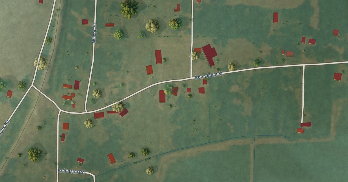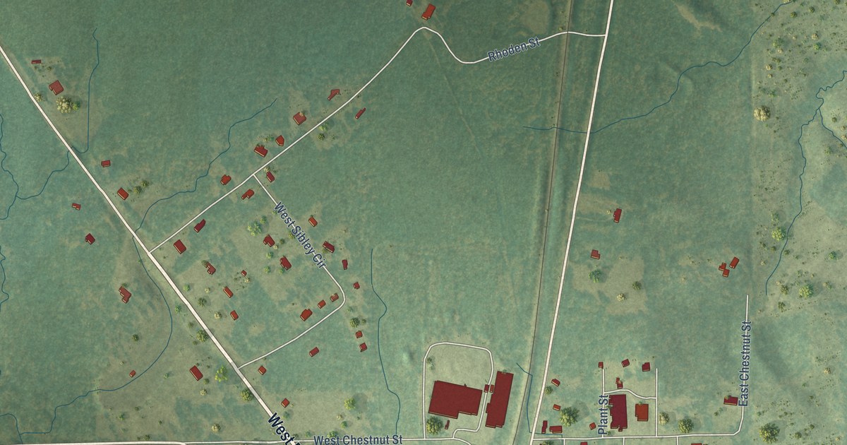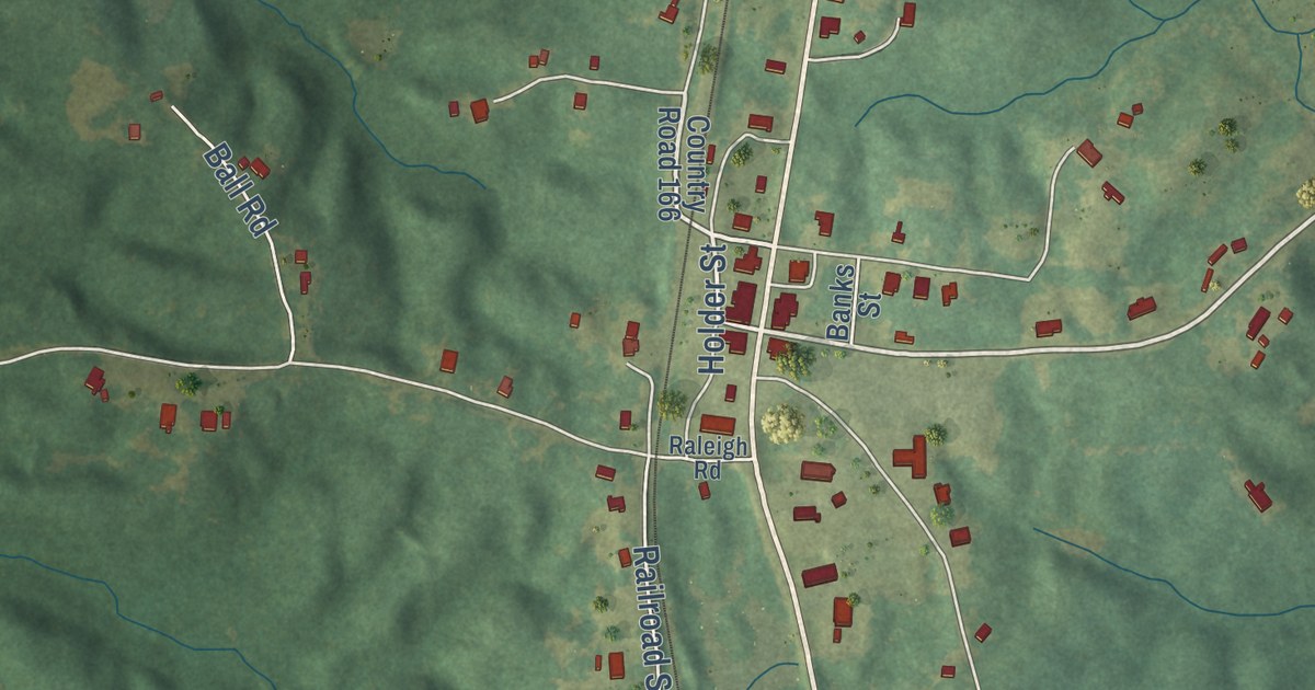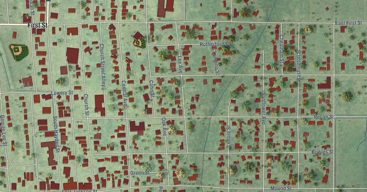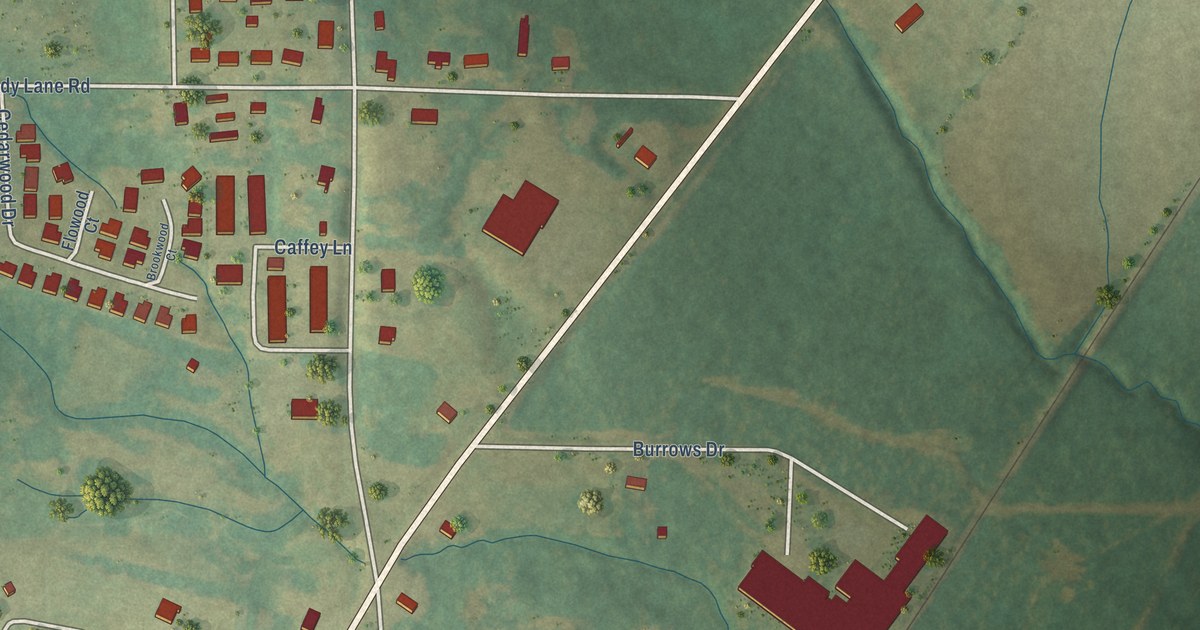
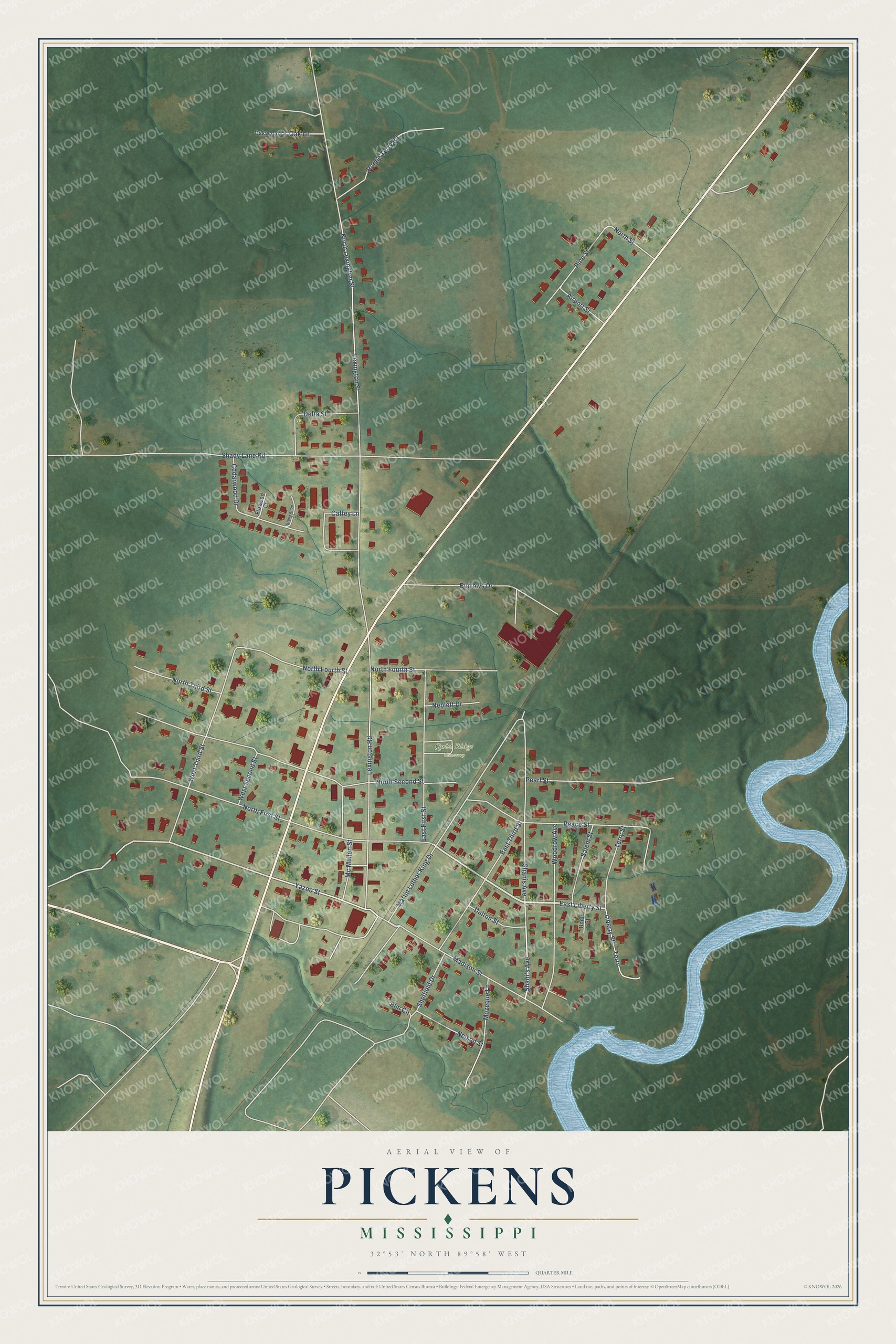
This beautifully detailed map of Pickens, Mississippi was created in 2026 using aerial imagery combined with modern topographical, census, street and landmark data. It’s a one-of-a-kind view of Pickens that combines accurate data with a vintage aesthetic. The map shows every building in its true location, many of the roads carry their names, and the shaded topographic relief shows the shape of the land.
Explore an aerial view of Pickens, Mississippi
On the map you’ll find Quiet Ridge Cemetery, along with East Liberty Street, Liberty Street, Yazoo Street, Shani’s Avenue, Lexington Street, Shady Lane Road, North First Street, North Second Street, Martin Luther King Drive, Madison Street, and more. If you look closely you can even find your house accurately drawn in its correct location. Zoom in on the preview to look for yours.
Did you know this piece of Pickens, Mississippi history?
Civil rights leader Gus Courts was born in Pickens on May 2, 1887, to parents who had been enslaved. In 1953 he helped found the Humphreys County chapter of the NAACP and led a voting drive. Later he told Congress about the racial terror in Mississippi.
Take a closer look at the Pickens map
Street and place names on the Pickens, Mississippi map
These names are printed on the map of Pickens, Mississippi.
Places: Quiet Ridge Cemetery.
Streets and roads: East Liberty Street, Liberty Street, Yazoo Street, Shani's Avenue, Lexington Street, Shady Lane Road, North First Street, North Second Street, Martin Luther King Drive, Madison Street, Shanis Avenue, Peace Street.
More street names, A to Z
Airport Street, Brookwood Court, Burrows Drive, Caffey Lane, Cedarwood Drive, Dalton Street, Delta Street, East First Street, East Third Street, Elm Circle, Flowood Court, Lexington Road, Mc Mullen Street, Mozeque Lane, Neblett Drive, Nelson Street, North Fourth Street, North Lexington Street, North Street, North Third Street, Oak Lane, Oakwood Lane, Pearl Street, Pine Street, Romie Terry Road, Salem Street, Shelfield Drive, Terry, Terry Street, Union Street, West Second Street, West Third Street, Woodrow Avenue.
See the Pickens, Mississippi map on a wall
The Pickens map as an 18 x 24 inch print in a black frame.

This beautifully detailed map of Pickens makes an attractive addition to your office, library, or den, and it can even be used to teach children the geography and history of the area. It also makes a great gift for anyone with Pickens roots. When you’re done exploring, click here to get your copy of the Pickens map.