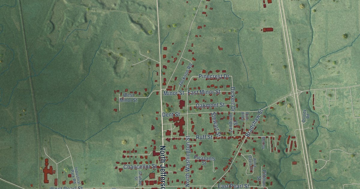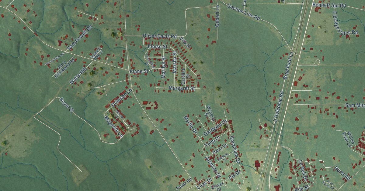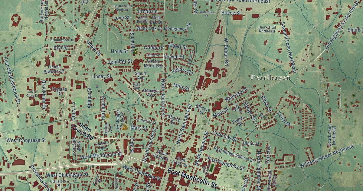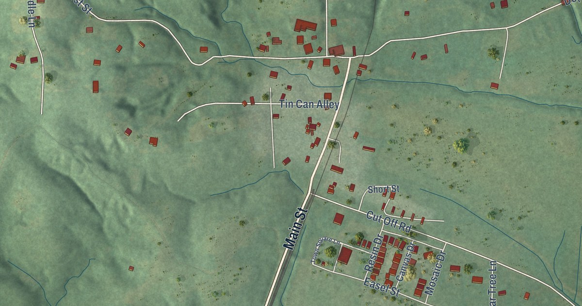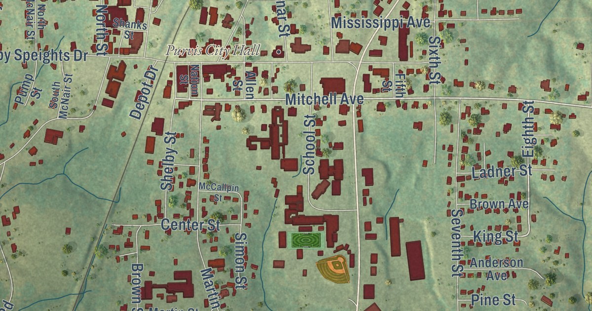
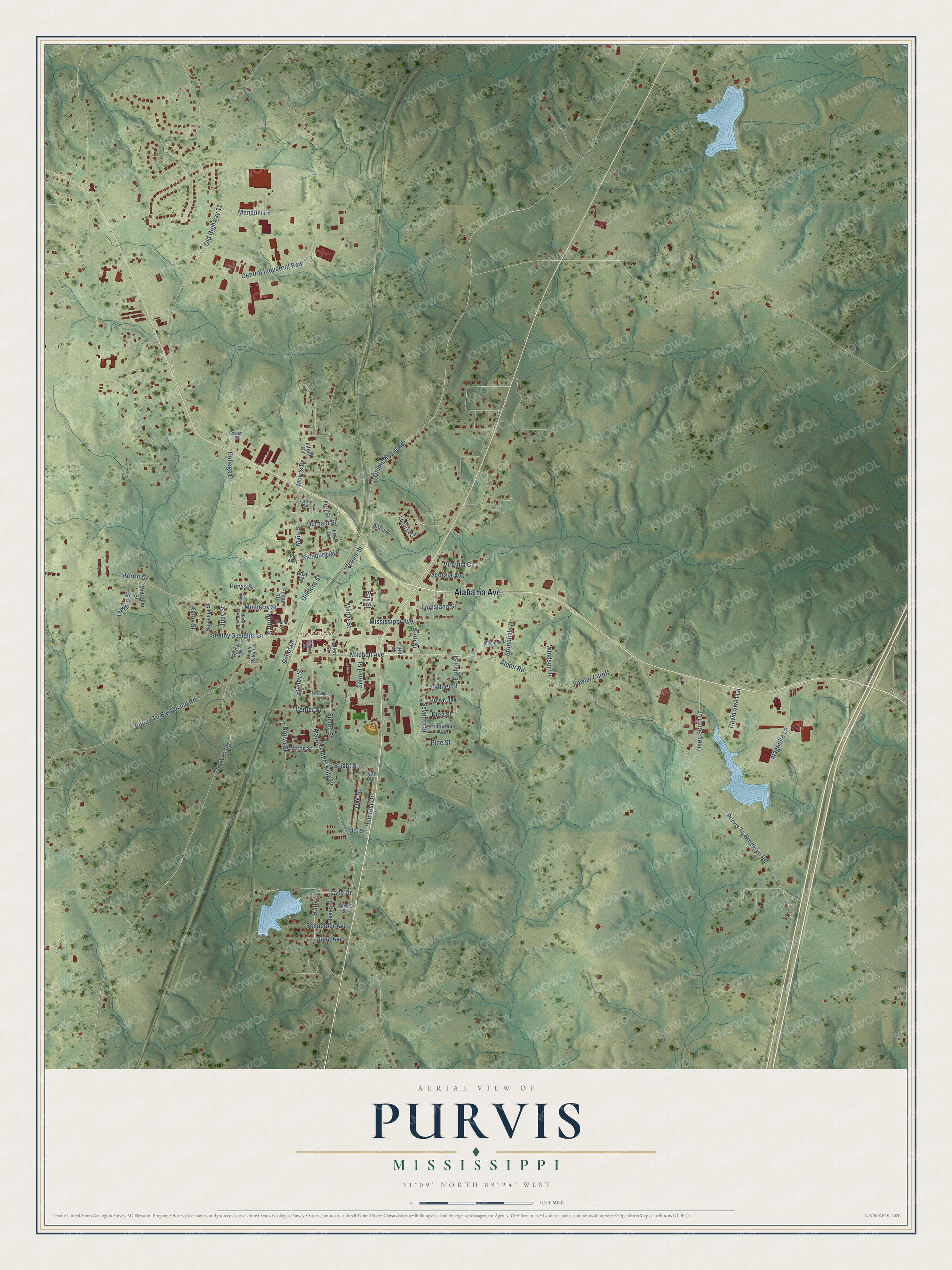
This beautifully detailed map of Purvis, Mississippi was created in 2026 using aerial imagery combined with modern topographical, census, street and landmark data. It’s a one-of-a-kind view of Purvis that combines accurate data with a vintage aesthetic. The map shows every building in its true location, many of the roads carry their names, and the shaded topographic relief shows the shape of the land.
Explore an aerial view of Purvis, Mississippi
On the map you’ll find Purvis City Hall, along with Alabama Avenue, Mitchell Avenue, Aldon Road, Logaras Circle, Eighth Street, Virginia Circle, Purvis To Brooklyn Road, Martin Luther King Drive, Old Highway 11, Shelby Speights Drive, Purvis To Baxterville Road, and more. If you look closely you can even find your house accurately drawn in its correct location. Zoom in on the preview to look for yours.
Did you know this piece of Purvis, Mississippi history?
Purvis grew as a New Orleans and North Eastern Railroad station between Hattiesburg and Lumberton. It was named for the former owner of the depot site, while lumbering and farming shaped its early economy. That’s from Dunbar Rowland’s 1907 encyclopedia of Mississippi history.
Take a closer look at the Purvis map
Street and place names on the Purvis, Mississippi map
These names are printed on the map of Purvis, Mississippi.
Places: Purvis City Hall.
Streets and roads: Alabama Avenue, Mitchell Avenue, Aldon Road, Eighth Street, Virginia Circle, Old Richburg Road, Purvis To Brooklyn Road, Martin Luther King Drive, Old Highway 11, Shelby Speights Drive, Purvis To Baxterville Road, Mulberry Street.
More street names, A to Z
Allen Street, Anderson Avenue, Bay Street, Bright Street, Brown Avenue, Brown Street, Carrey Street, Center Street, Central Industrial Row, College Drive, David Swan Lane, Davis Street, Deep South Lane, Depot Drive, Duke Avenue, Durham Street, East Street, Elliott Circle, Fifth Street, First Avenue, First Street, Fowler Circle, Fowler Cutoff, Georgia Avenue, Gilmore Street, Herrin Drive, Hillcrest Drive, Howard Street, James Street, Judy Street, Kathy Street, Katie Drive, Katie Street, King Street, Ladner Street, Lake Drive, Logaras Circle, Louisiana Street, Lyles Street, Lynn Street, Magnolia Lane, Main Street, Manar Street, Mangum Lane, Martin Street, McCallpin Street, McKeller Street, Meadow Street, Mississippi Avenue, Morris Drive, Nation Street, North McNair Street, North Street, Oak Street, Pecan Street, Pig Alley, Pine Street, Pump Street, Purvis Street, Richburg Avenue, Schneider Avenue, School Street, Seventh Street, Shanks Street, Shelby Street, Short Street, Simon Street, Sixth Street, South McNair Street, Stonefield Drive, Susanna Street, Talowah Road, Weems Street, Windsor Drive.
See the Purvis, Mississippi map on a wall
The Purvis map as an 18 x 24 inch print in a black frame.

This beautifully detailed map of Purvis makes an attractive addition to your office, library, or den, and it can even be used to teach children the geography and history of the area. It also makes a great gift for anyone who grew up in Purvis or moved away. When you’re done exploring, click here to get your copy of the Purvis map.