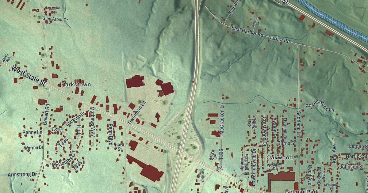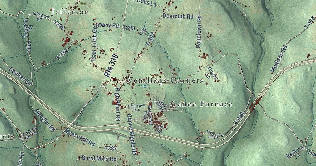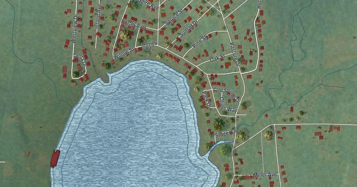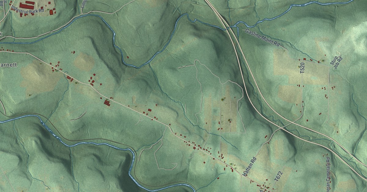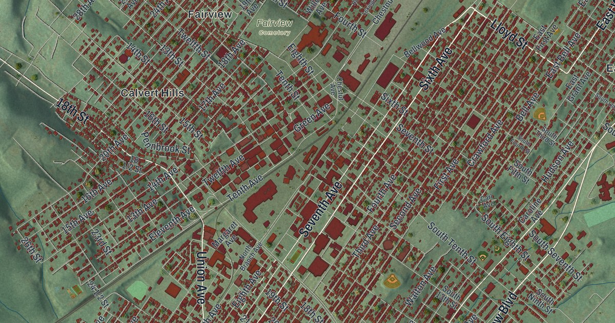
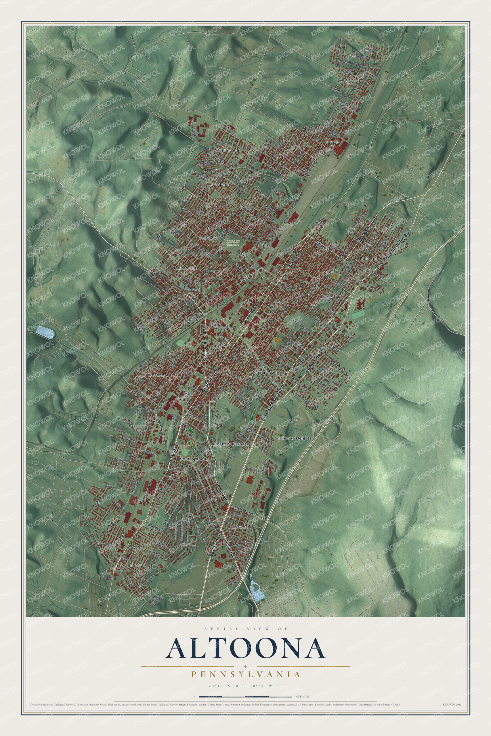
This beautifully detailed map of Altoona, Pennsylvania was created in 2026 using aerial imagery combined with modern topographical, census, street and landmark data. It’s a one-of-a-kind view of Altoona that combines accurate data with a vintage aesthetic. The map shows every building in its true location, many of the roads carry their names, and the shaded topographic relief shows the shape of the land.
Explore an aerial view of Altoona, Pennsylvania
On the map you’ll find Eldorado, Fairview Cemetery, Allegheny Furnace, Alta Manor, Calvert Hills, East End, Fairview, Hileman Heights, Juniata, Llyswen, Pleasant Valley, South Altoona, and more. If you look closely you can even find your house accurately drawn in its correct location. Zoom in on the preview to look for yours.
Did you know this piece of Altoona, Pennsylvania history?
From Data.pa.gov: "By 1925, Altoona was home to the nation's largest concentration of railroad shops, with 16,500 people employed in several locations."
Take a closer look at the Altoona map
Street and place names on the Altoona, Pennsylvania map
These names are printed on the map of Altoona, Pennsylvania.
Places: Eldorado, Fairview Cemetery, Allegheny Furnace, Alta Manor, Calvert Hills, East End, Fairview, Hileman Heights, Juniata, Llyswen, Pleasant Valley, South Altoona, Wehnwood, Westmont and Ivyside Park.
Streets and roads: Sixth Avenue, Pleasant Valley Boulevard, Seventh Avenue, Union Avenue, Valley View Boulevard, West Plank Road, Lloyd Street, Logan Boulevard, West Sixth Avenue, East Walton Avenue, East Pleasant Valley Boulevard, 18th Street.
More street names, A to Z
13th Avenue, 13th Street, 14th Avenue, 14th Street, 15th Avenue, 15th Street, 16th Avenue, 16th Street, 17th Avenue, 17th Street, 18th Avenue, 19th Avenue, 19th Street, 20th Avenue, 20th Street, 21st Avenue, 21st Street, 22nd Avenue, 22nd Street, 23rd Avenue, 23rd Street, 24th Avenue, 24th Street, 25th Avenue, 25th Street, 26th Avenue, 26th Street, 27th Avenue, 27th Street, 28th Avenue, 28th Street, 29th Street, 30th Avenue, 30th Street, 31st Street, 32nd Street, 35th Street, 36th Street, 37th Street, 38th Street, 39th Street, 40th Street, 41st Street, 42nd Street, 43rd Street, 44th Street, 45th Street, 48th Street, 49th Street, 50th Street, 51st Street, 52nd Street, 53rd Street, 54th Street, 55th Street, 56th Street, 57th Street, 58th Street, 60th Street, Access Road, Adams Avenue, Albert Drive, Aldrich Avenue, Allegheny Street, Ash Street, Avondale Avenue, Baker Boulevard, Beale Avenue, Beaumont Drive, Beech Avenue, Bell Avenue, Bellview Street, Bellwood Avenue, Broad Avenue, Broadway, Bryant Avenue, Burgoon Road, Byron Avenue, California Avenue, Campbell Avenue, Carl Avenue, Caroline Avenue, Cayuga Avenue, Cherry Grove, Chestnut Avenue, Chestut Avenue, Circle Avenue, Coleridge Avenue, College Park Drive, Columbia Drive, Cortland Avenue, Crawford Avenue, Crescent Road, Duff Drive, Dysart Avenue, East 21st Avenue, East 23rd Avenue, East 25th Avenue, East 26th Avenue, East Bell Avenue, East Caroline Avenue, East Cherry Avenue, East Chestnut Avenue, East Crawford Avenue, East Fairview Avenue, East First Avenue, East Grant Avenue, East Logan Avenue, East Sixth Avenue, Eighth Avenue, Eighth Street, Eleventh Avenue, Eleventh Street, Elm Spring Drive, Fairway Drive, Fifth Avenue, Fifth Street, First Avenue, First Street, Fort Roberdeau Avenue, Fourth Avenue, Fourth Street, Frankstown Road, Furnace Avenue, Grant Avenue, Grant Street, Green Avenue, Greenway Drive, Gwin Road, Hazel Avenue, Hill Street, Hilltop Circle, Horner Drive, Howard Avenue, Hudson Avenue, Industrial Avenue, Industrial Park Drive, Ivyside Drive, Jackson Avenue, Juniata Gap Road, Kettle Street, Kissell Avenue, Kittanning Lane, Lark Avenue, Lee Avenue, Lexington Avenue, Logan Avenue, Lowell Avenue, Lyndale Road, Lynndale Road, Maple Avenue, Margaret Avenue, Maryland Avenue, Michelle Drive, Montrose Avenue, Morningside Avenue, Mosser Street, Ninth Avenue, Ninth Street, North 13th Street, North 14th Avenue, North 14th Street, North 15th Street, North 16th Street, North 17th Street, North 18th Street, North 19th Street, North Branch Avenue, North Eighth Avenue, North Eighth Street, North Eleventh Avenue, North Fifth Avenue, North Fourth Avenue, North Logan Boulevard, North Ninth Avenue, North Second Street, North Seventh Avenue, North Sixth Avenue, North Sixth Street, North Tenth Avenue, North Third Avenue, North Twelfth Avenue, North Twelfth Street, Oak Avenue, Oak Lane, Park Boulevard, Pennbrook Street, Pierce Street, Pine Avenue, Poe Place, Polk Avenue, Quail Avenue, Race Street, Rhode Island Avenue, Ridge Avenue, Roselawn Avenue, Ruskin Drive, Second Avenue, Second Street, Seventh Street, Sixth Street, South 13th Street, South 14th Street, South 15th Street, South 16th Street, South 20th Street, South 22nd Street, South 24th Street, South 26th Street, South 27th Street, South Eighth Street, South Fifth Street, South First Street, South Fourth Street, South Jaggard Street, South Kettle Street, South Lloyd Street, South Ninth Street, South Seventh Street, South Street, South Tenth Avenue, South Tenth Street, South Third Street, South Twelfth Street, Spruce Avenue, Tenth Avenue, Tenth Street, Third Avenue, Third Street, Trevanian Avenue, Twelfth Avenue, Twelfth Street, Walnut Avenue, Walton Avenue, Ward Avenue, West 14th Avenue, West Chestnut Avenue, Willow Avenue, Wordsworth Avenue.
See the Altoona, Pennsylvania map on a wall
The Altoona map as an 18 x 24 inch print in a black frame.

This beautifully detailed map of Altoona makes an attractive addition to your office, library, or den, and it can even be used to teach children the geography and history of the area. It also makes a great gift for anyone who grew up in Altoona or moved away. When you’re done exploring, click here to get your copy of the Altoona map.