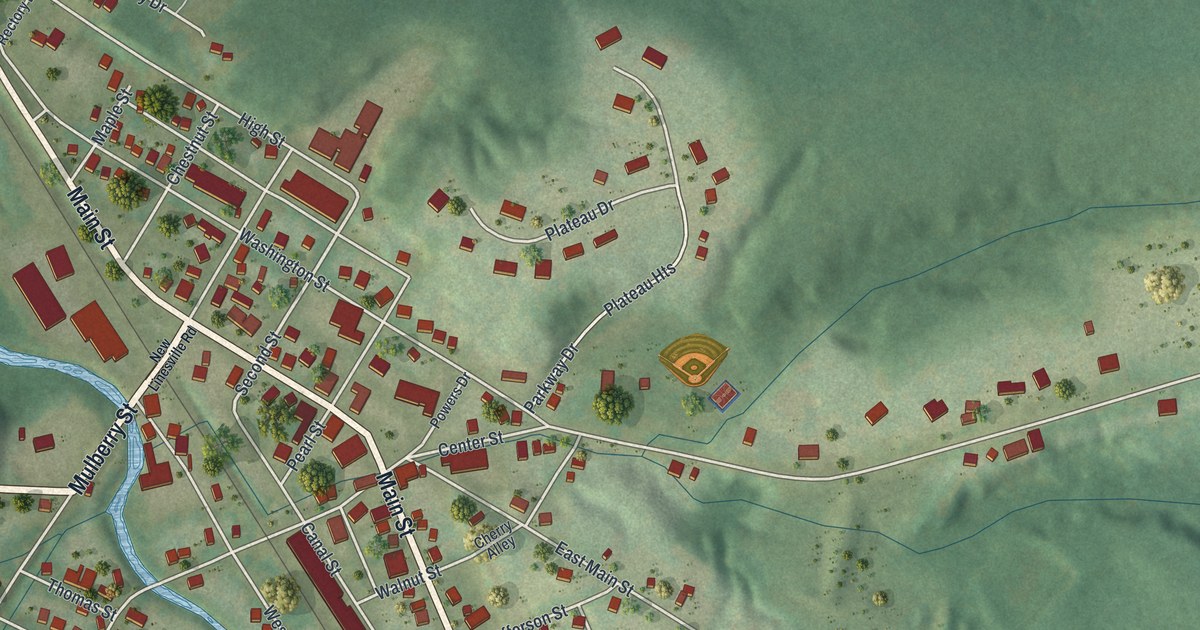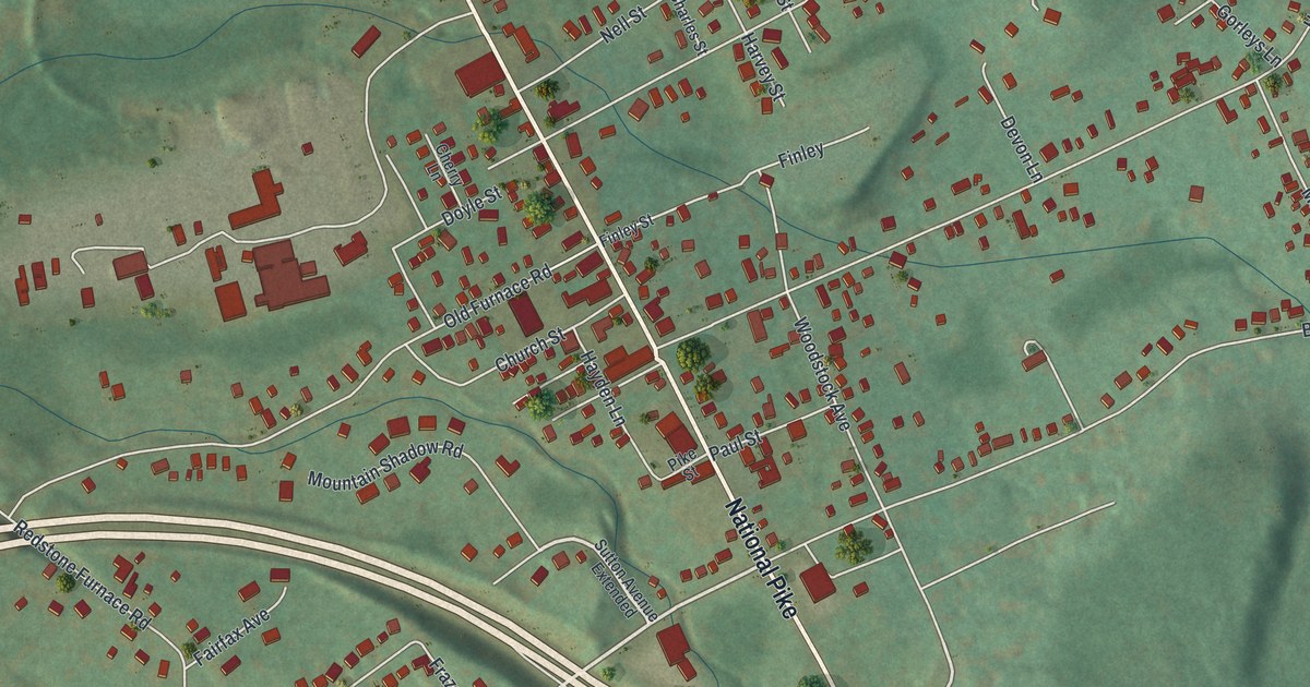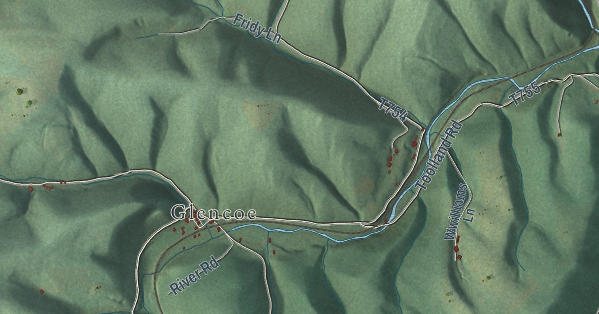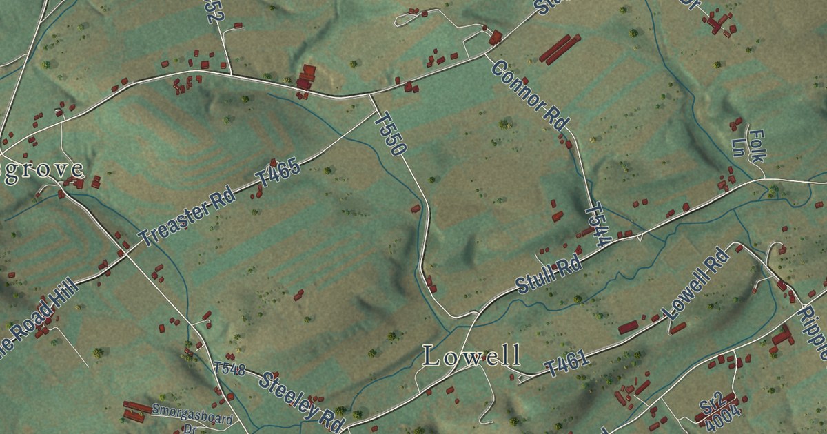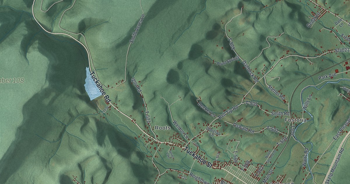
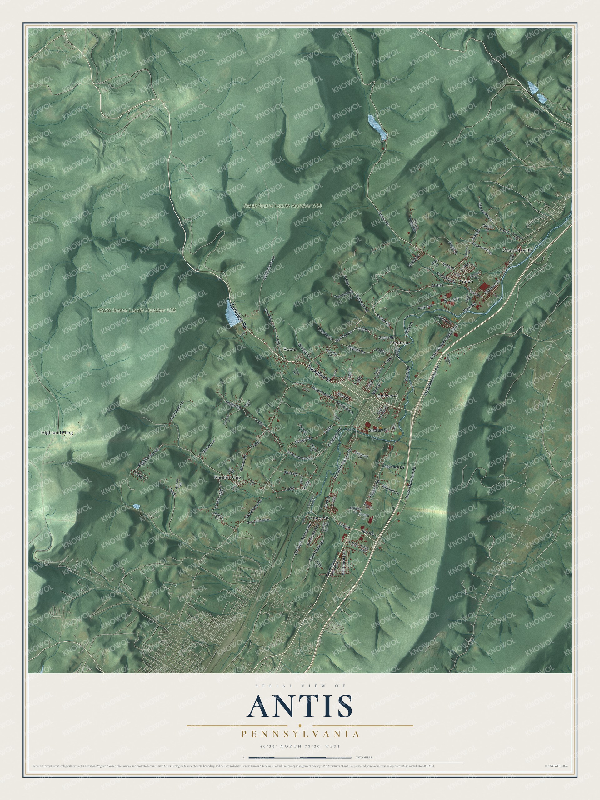
This beautifully detailed map of Antis, Pennsylvania was created in 2026 using aerial imagery combined with modern topographical, census, street and landmark data. It’s a one-of-a-kind view of Antis that combines accurate data with a vintage aesthetic. The map shows every building in its true location, many of the roads carry their names, and the shaded topographic relief shows the shape of the land.
Explore an aerial view of Antis, Pennsylvania
On the map you’ll find State Game Lands Number 108, State Game Lands Number 158, Bellwood, Charlottsville, Fostoria, Highland Fling, Pinecroft, Riggles Gap, Roots, and Tipton, along with Tuckahoe Road, Tuckahoe Street, and more. If you look closely you can even find your house accurately drawn in its correct location. Zoom in on the preview to look for yours.
Did you know this piece of Antis, Pennsylvania history?
The Rinard brothers opened an amusement park on the Bland family farm in Tipton, a village in Antis Township. It was first called Bland’s Park. In 1946 Ferdinand DelGrosso bought it, including the carousel still in use today. His family added a water park in 1997, and in 2000 it was renamed DelGrosso’s Amusement Park.
Take a closer look at the Antis map
Street and place names on the Antis, Pennsylvania map
These names are printed on the map of Antis, Pennsylvania.
Places: State Game Lands Number 108, State Game Lands Number 158, Bellwood, Charlottsville, Fostoria, Highland Fling, Pinecroft, Riggles Gap, Roots, Tipton and Spring Lake.
Streets and roads: Tuckahoe Road, Tuckahoe Street, East Pleasant Valley Boulevard, Tipton Road, Sr4023, Bell Tip Road, Skelp Mountain Road, Sr4025, Smith Road, T-505, Old Route 220, Stetter Road.
More street names, A to Z
Antis Road, Asbury Lane, Becker Road, Bellemeade Drive, Blair Street, Brush Mountain Road, Bumblebee Drive, Carosielli Lane, Cedar Lane, Cherry Drive, Cherry Hollow Road, Clearfield Avenue, Cox Lane, Creamer Lane, Dale Lane, Danbeck Road, Decker Lane, Degol Drive, Dorminy Lane, Douglas Lane, Dysart Road, East Seventh Street, Finch Drive, Forge Road, Frantz Lane, Frederick Street, Frito Lane, Glenby Drive, Grandview Road, Grazierville Road, Hagerty Road, Hazel Drive, Hollen Road, Igou Road, Irish Eyes Lane, Kerbaugh Dam Lane, Kerbaugh Road, Kings Highway, Kristel Lane, Krystal Drive, Lear Road, Loganbell Lane, Lower Riggles Gap Road, Main Street, Mitchell Lane, Moser Road, Nelson Road, North Second Street, Old Sixth Avenue Road, Oswald Road, Pacanowski Lane, Park Avenue, Pinecroft Avenue, Point Springs, Reightown Road, Riggles Gap Road, Ritz Road, River Road, Rossman Road, Sand Bank Road, Sandy Run Road, Smith Acres Lane, Spruce Street, Sr4019, Sr4021, Stadium Drive, Starzesky Lane, Stoney Lane, Sunny Crest Lane, Sunrise Court, T-483, T-485, T-488, T-489, T-490, T-492, T-493, T-501, T-502, T-503, T-509, T-510, T-513, T-519, T-520, T-521, T-568, T-569, T-573, T-579, T-706, T-716, T-731, T-750, T-760, T-770, T-786, T-4018, Thomas Lane, Turtledove Drive, Watts Road, Weldon Lane, Wills Lane.
See the Antis, Pennsylvania map on a wall
The Antis map as an 18 x 24 inch print in a black frame.

This beautifully detailed map of Antis makes an attractive addition to your office, library, or den, and it can even be used to teach children the geography and history of the area. It also makes a great gift for anyone with Antis roots. When you’re done exploring, click here to get your copy of the Antis map.