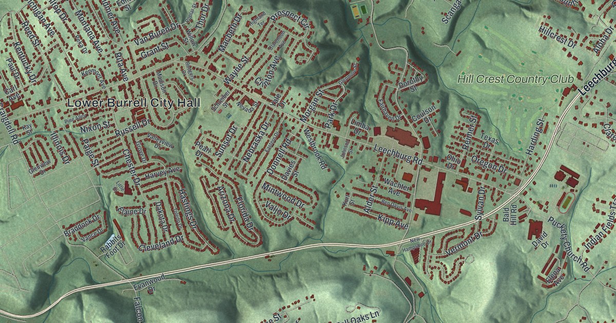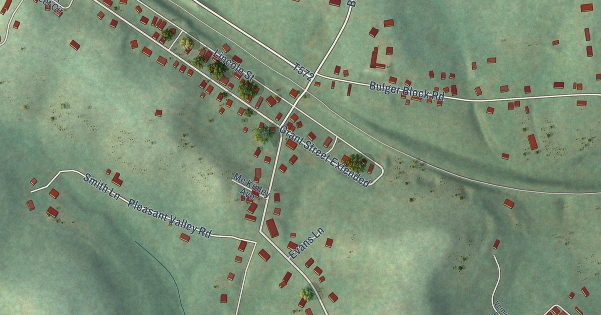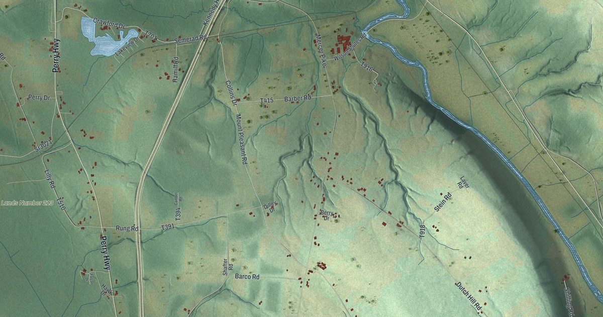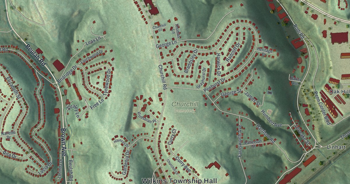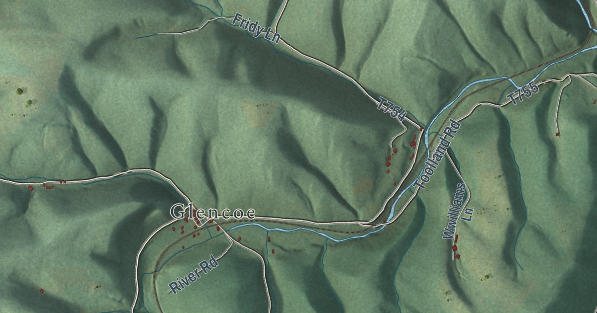
This beautifully detailed map of Northampton, Somerset County, Pennsylvania was created in 2026 using aerial imagery combined with modern topographical, census, street and landmark data. It’s a one-of-a-kind view of Northampton that combines accurate data with a vintage aesthetic. The map shows every building in its true location, many of the roads carry their names, and the shaded topographic relief shows the shape of the land.
Explore an aerial view of Northampton, Somerset County, Pennsylvania
On the map you’ll find Foley, State Game Lands Number 82, Glencoe, Johnsburg, Mance, and Philson, along with Philson Road, Leister Road, and more. If you look closely you can even find your house accurately drawn in its correct location. Zoom in on the preview to look for yours.
Did you know this piece of Northampton, Somerset County, Pennsylvania history?
From the 1884 History of Bedford Somerset and Fulton Counties Pennsylvania: "The first gristmill within the limits of Northampton township was the Southampton mill, built by Henry T. Wilt in 1845."
Take a closer look at the Northampton, Somerset County map
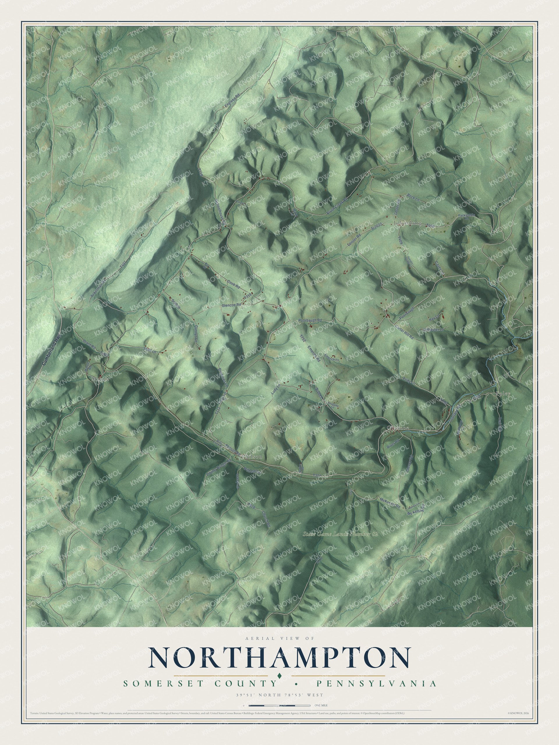
Street and place names on the Northampton, Somerset County, Pennsylvania map
These names are printed on the map of Northampton, Somerset County, Pennsylvania.
Places: Foley, State Game Lands Number 82, Mance, Johnsburg, Glencoe and Philson.
Streets and roads: Cumberland Highway, Philson Road, Sr2015, Leister Road, Lester Road, Sr2022, Sr2020, Glenco Road, Poorbaugh Road, Carter Hill Road, Beck Lane, Poorbaugh.
More street names, A to Z
Ackerman Road, Brant Road, Brownies Lane, Brush Creek Road, Casey Lane, Churchel Lane, Church Road, Cook Road, County Bridge Road, Dannys Lane, Emerick Lane, Emerick Road, Engleka Road, Fridy Lane, Glencoe Road, Haines Lane, Hay Lane, Krausehuer Road, Leecy Lane, Ludy Lane, Mance Road, Martz Lane, McKenzie Road, Mc Kenzie Road, Packsaddle Road, Paso Fino Road, Prv Drive, River Road, Roadside Lane, Schoolhouse Road, Stahl Lane, Station Road, Stillwater Lane, Toolland Road, Tr377, Wilhelm Lane, Wills Creek Road, Wwilliams Lane.
See the Northampton, Somerset County, Pennsylvania map on a wall
The Northampton, Somerset County map as an 18 x 24 inch print in a black frame.

This beautifully detailed map of Northampton, Somerset County makes an attractive addition to your office, library, or den, and it can even be used to teach children the geography and history of the area. It also makes a great gift for anyone who grew up in Northampton or moved away. When you’re done exploring, click here to get your copy of the Northampton, Somerset County map.