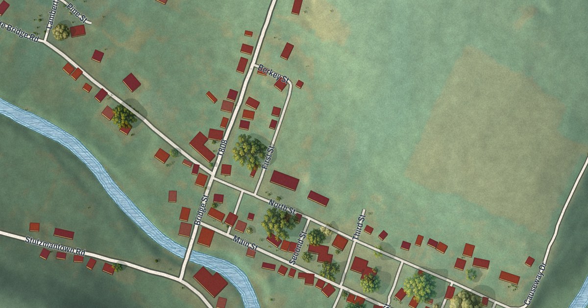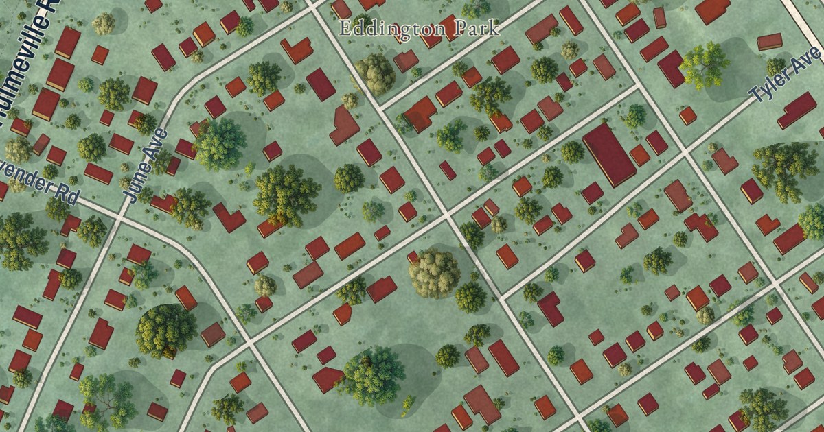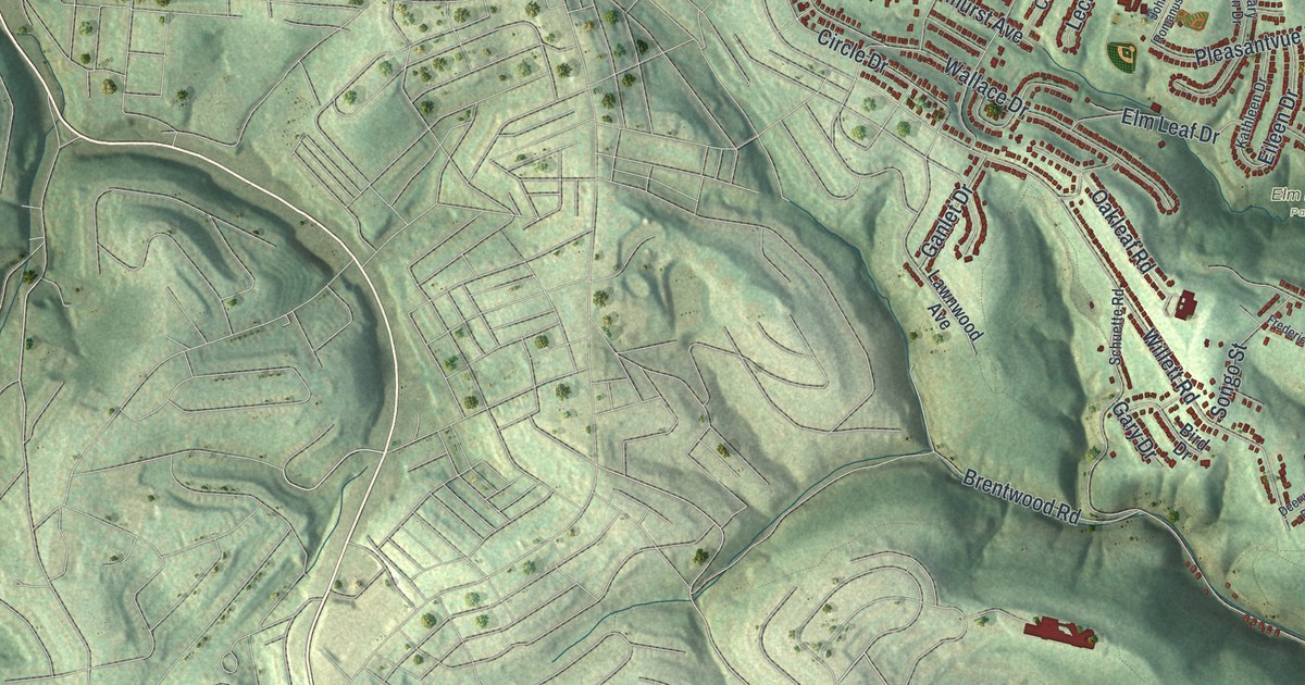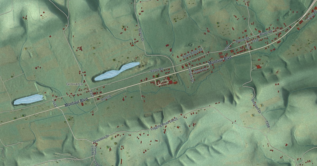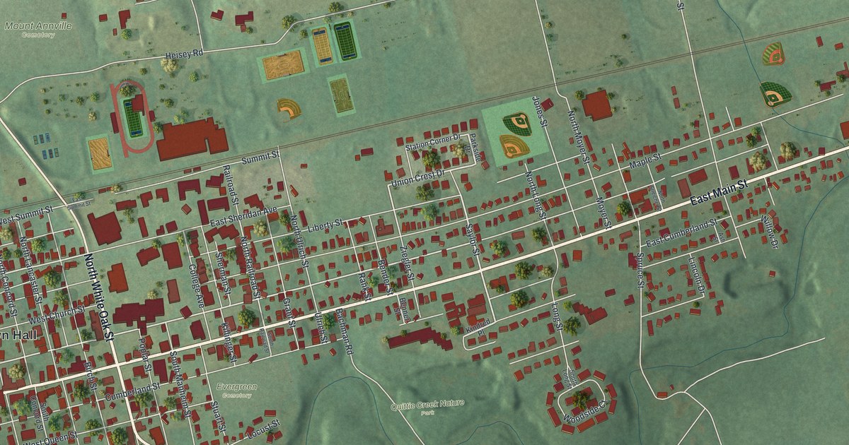
This beautifully detailed map of Annville, Pennsylvania was created in 2026 using aerial imagery combined with modern topographical, census, street and landmark data. It’s a one-of-a-kind view of Annville that combines accurate data with a vintage aesthetic. The map shows every building in its true location, many of the roads carry their names, and the shaded topographic relief shows the shape of the land.
Explore an aerial view of Annville, Pennsylvania
On the map you’ll find Annville Town Hall, Mount Annville Cemetery, Quittie Creek Nature Park, and Evergreen Cemetery, along with East Main Street, West Main Street, Benjamin Franklin Highway, North White Oak Street, South White Oak Street, South Cherry Street, Saylor Street, Ziegler Street, and more. If you look closely you can even find your house accurately drawn in its correct location. Zoom in on the preview to look for yours.
Did you know this piece of Annville, Pennsylvania history?
From the 1883 History of the Counties of Dauphin and Lebanon: "Annville Academy was established in 1834. This was a private institution, founded by JoTin Shertzer, Adam Ulrich, Leonard Heilig, Daniel Strupenhauer, and others, who employed the instructors and had sole supervision of all pertaining to the school."
Take a closer look at the Annville map
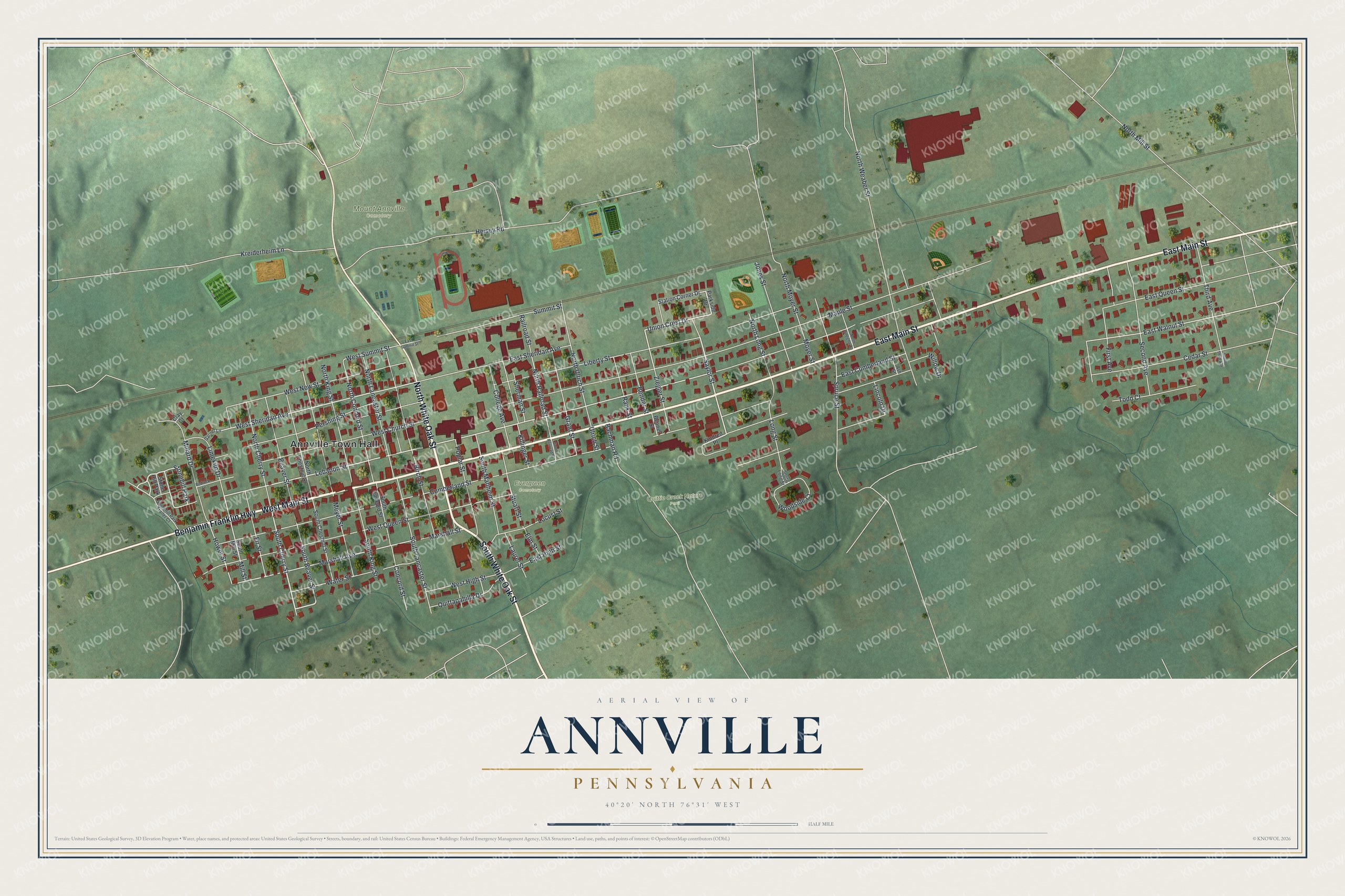
Street and place names on the Annville, Pennsylvania map
These names are printed on the map of Annville, Pennsylvania.
Places: Annville Town Hall, Mount Annville Cemetery, Quittie Creek Nature Park, Evergreen Cemetery, Stonehill Park and Stone Hill Park.
Streets and roads: East Main Street, West Main Street, Benjamin Franklin Highway, North White Oak Street, South White Oak Street, South Cherry Street, Saylor Street, Ziegler Street, Union Crest Drive, Lebanon Street, West Sheridan Avenue, East Walnut Street.
More street names, A to Z
Ash Street, Bachman Road, Beaver Street, Bedrock Lane, Bender Street, Benner Street, Birch Street, Cedar Street, Clay Court, College Avenue, Concord Street, Cumberland Street, East Cumberland Street, East High Street, East Queen Street, East Sheridan Avenue, East Summit Street, Elm Street, First Avenue, Fir Street, Garnet Lane, Grant Street, Heisey Road, Hower Street, Jones Street, Killinger Street, Kindred Place, Kreiderheim Lane, Laurel Street, Liberty Street, Limekiln Drive, Lincoln Drive, Locust Street, Long Street, Maple Street, Marshall Avenue, Marshall Street, Meyer Street, Millard Drive, Mill Street, Moyer Street, North Cherry Street, North Chestnut Street, North Concord Street, North King Street, North Lancaster Street, North Long Street, North Mill Street, North Moyer Street, North Railroad Street, North Streicher Street, North Ulrich Street, North Weaber Street, Parkside Drive, Pershing Street, Poplar Street, Quittapahilla Drive, Railroad Street, Rank Street, Second Avenue, Sherman Street, South Beaver Street, South Chestnut Street, South Concord Street, South King Street, South Lancaster Street, South Long Street, South Manheim Street, South Mill Street, South Railroad Street, South Third Avenue, Spruce Street, Station Corner Drive, Stonehill Park Trailer Court, Stuart Street, Summit Street, Third Avenue, Todd Court, Ulrich Street, Water Street, West Church Street, West High Street, West New Street, West Queen Street, West Summit Street, Willow Drive, Woodside Court.
See the Annville, Pennsylvania map on a wall
The Annville map as an 18 x 24 inch print in a black frame.

This beautifully detailed map of Annville makes an attractive addition to your office, library, or den, and it can even be used to teach children the geography and history of the area. It also makes a great gift for someone who left Annville and still calls it home. When you’re done exploring, click here to get your copy of the Annville map.