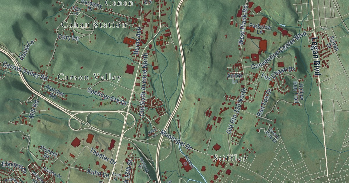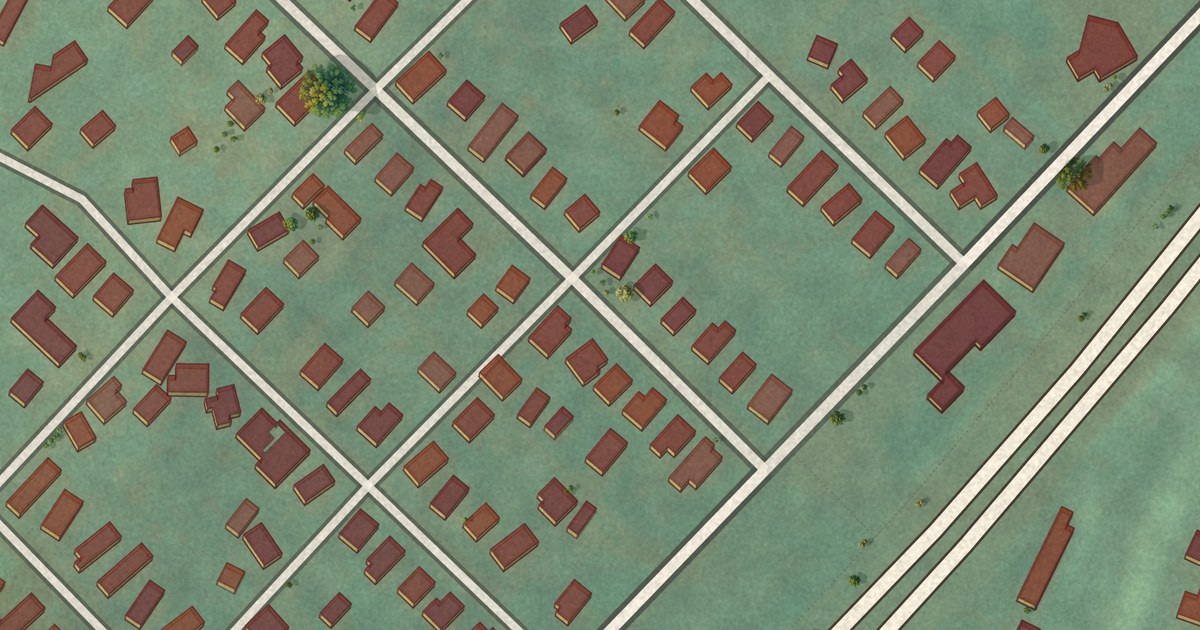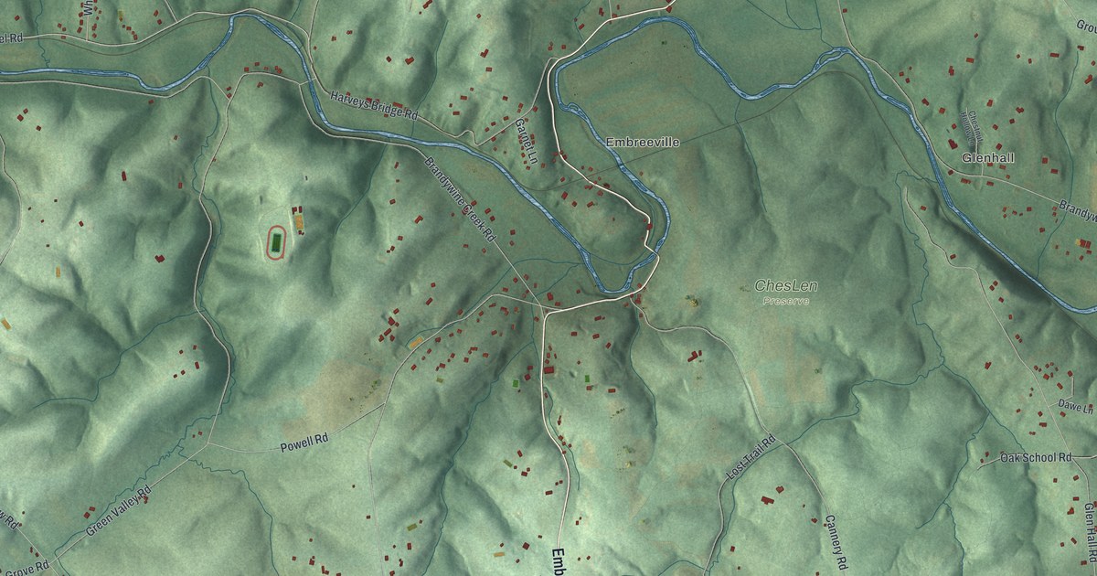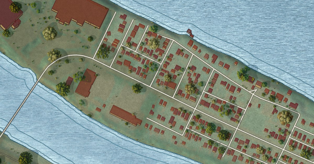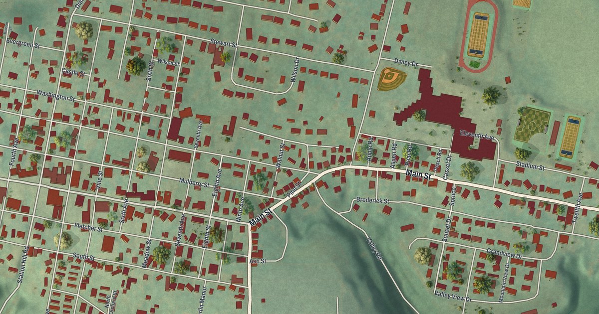
This beautifully detailed map of Berlin, Somerset County, Pennsylvania was created in 2026 using aerial imagery combined with modern topographical, census, street and landmark data. It’s a one-of-a-kind view of Berlin that combines accurate data with a vintage aesthetic. The map shows every building in its true location, many of the roads carry their names, and the shaded topographic relief shows the shape of the land.
Explore an aerial view of Berlin, Somerset County, Pennsylvania
On the map you’ll find East End, along with Main Street, Cumberland Street, Huckleberry Highway, Hay Street, First Avenue, Shady Lane, Broadway Street, Diamond Street, Station Hill Road, Mulberry Street, Sunset Drive, and more. If you look closely you can even find your house accurately drawn in its correct location. Zoom in on the preview to look for yours.
Did you know this piece of Berlin, Somerset County, Pennsylvania history?
Berlin was laid out in 1784, and ten years later it was caught up in the Whiskey Rebellion. In September 1794, Robert Philson, an Irish immigrant, put up a liberty pole beside his log store on the town square. Federal troops arrived in October and the uprising faded away. Philson and the traveling preacher Herman Husband were tried in Philadelphia and acquitted.
Take a closer look at the Berlin, Somerset County map
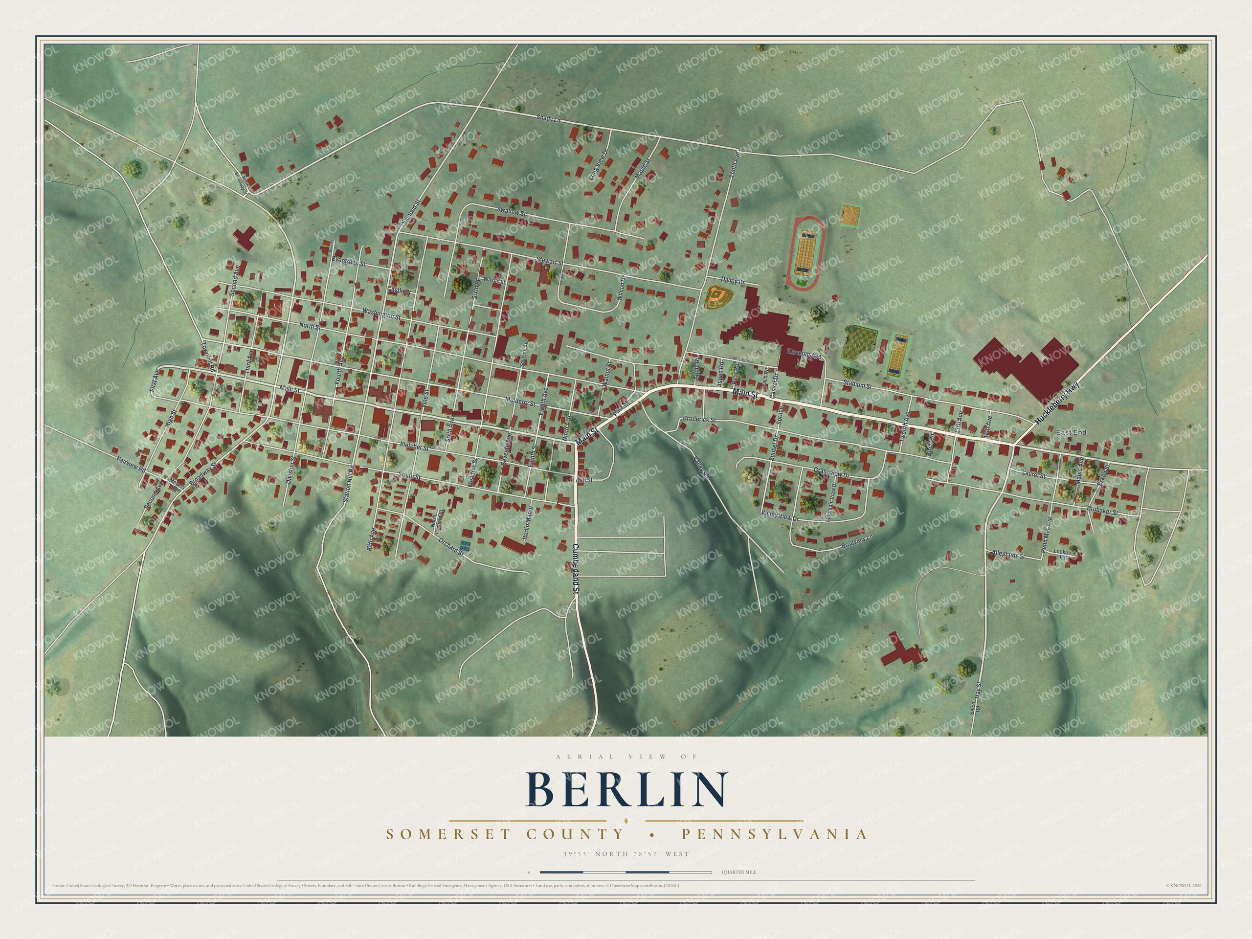
Street and place names on the Berlin, Somerset County, Pennsylvania map
These names are printed on the map of Berlin, Somerset County, Pennsylvania.
Places: East End.
Streets and roads: Main Street, Cumberland Street, Huckleberry Highway, Hay Street, First Avenue, Shady Lane, Broadway Street, Diamond Street, Station Hill Road, Mulberry Street, Sunset Drive, North Street.
More street names, A to Z
13th Avenue, 14th Avenue, Allegheny Street, Apple Road, Ash Street, Aspen Road, Berlin Manor, Birch Road, Broderick Street, Brodview Lane, Brubaker Street, Cassel Drive, Castle Street, Division Street, Divison Street, Divley Drive, Eighth Avenue, Eighth Street, Eleventh Avenue, Esken Street, Evergreen Street, Fairview Road, Fifth Avenue, Fletcher Street, Fourth Avenue, Grandview Drive, High Street, Laurel Street, Long View Drive, Lookout Lane, Maple Avenue, Maple Street, Meadow Street, Meyers Road, Mountain View Drive, Ninth Avenue, North Broadway Street, North Orchard Street, Orchard Street, Peach Road, Pear Road, Penn Mar Avenue, Pine Street, Salco Road, Second Avenue, Seventh Avenue, Sixth Avenue, Sixth Street, South Street, Spruce, Stadium Street, Stewart Street, Swallow Street, Tenth Avenue, Third Avenue, Townhill Road, Twelfth Avenue, Valley Road, Valley View Drive, Vine Street, Walnut Street, Washington Street, Wilson Drive, Wilson Street.
See the Berlin, Somerset County, Pennsylvania map on a wall
The Berlin, Somerset County map as an 18 x 24 inch print in a black frame.

This beautifully detailed map of Berlin, Somerset County makes an attractive addition to your office, library, or den, and it can even be used to teach children the geography and history of the area. It also makes a great gift for someone who left Berlin and still calls it home. When you’re done exploring, click here to get your copy of the Berlin, Somerset County map.