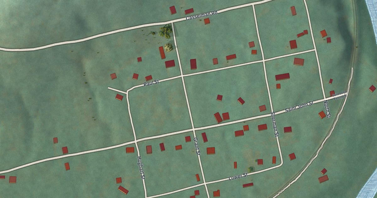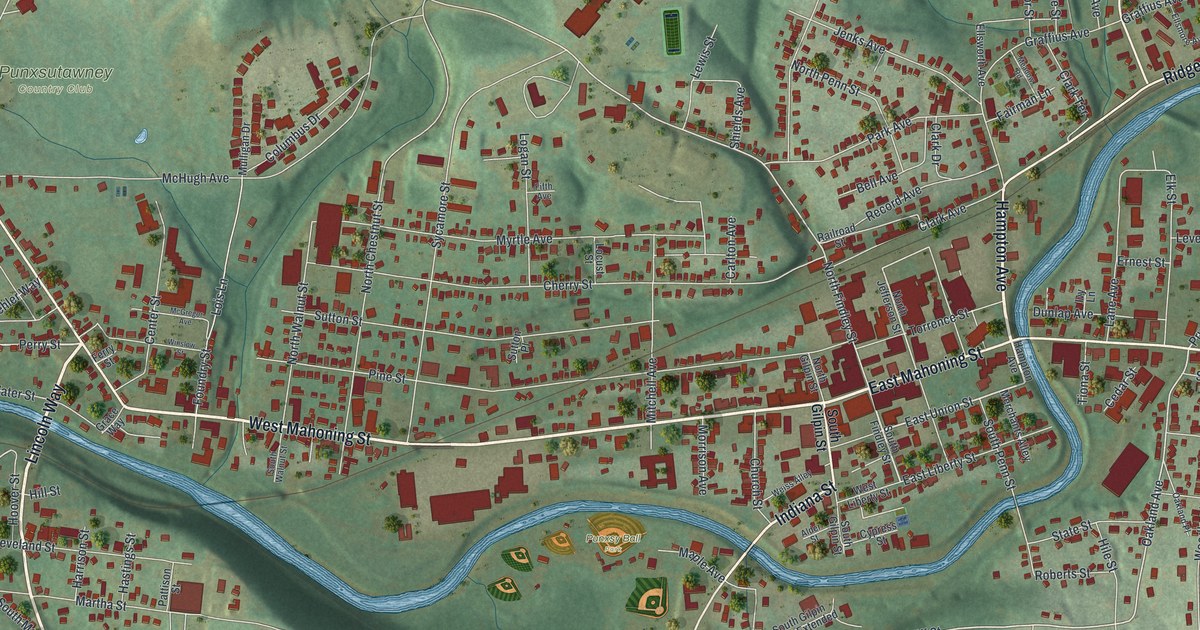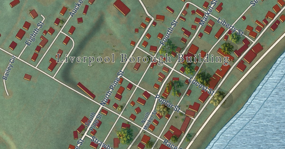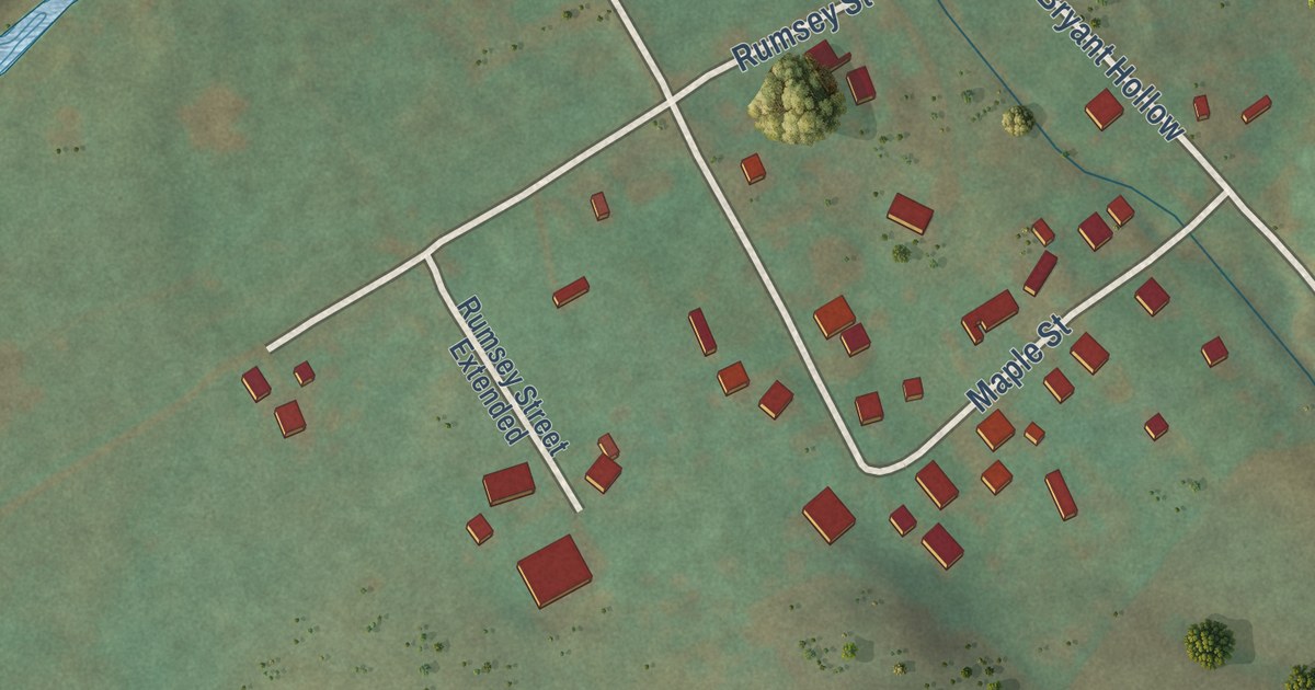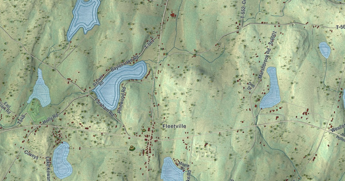
This beautifully detailed map of Benton, Lackawanna County, Pennsylvania was created in 2026 using aerial imagery combined with modern topographical, census, street and landmark data. It’s a one-of-a-kind view of Benton that combines accurate data with a vintage aesthetic. The map shows every building in its true location, many of the roads carry their names, and the shaded topographic relief shows the shape of the land.
Explore an aerial view of Benton, Lackawanna County, Pennsylvania
On the map you’ll find Marshbrook, East Benton, Lackawanna State Park, Ziegler Preserve, Fleetville, and Wallsville, along with Phila-Great Bend Turnpike, Wallsville Road, North Abington Road, Marsh Brook Road, Handson Lake Road, and more. If you look closely you can even find your house accurately drawn in its correct location. Zoom in on the preview to look for yours.
Did you know this piece of Benton, Lackawanna County, Pennsylvania history?
Benton Township was split off from Nicholson in 1838. It was named in honor of Thomas H. Benton, a United States senator from Missouri. Its village of Fleetville is named for James Van Fleet. He made and sold nearly all the plows used by the valley’s first farmers, carving plowshares from gnarled tree knots. That’s from the 1880 History of Luzerne, Lackawanna, and Wyoming Counties, Pa..
Take a closer look at the Benton, Lackawanna County map
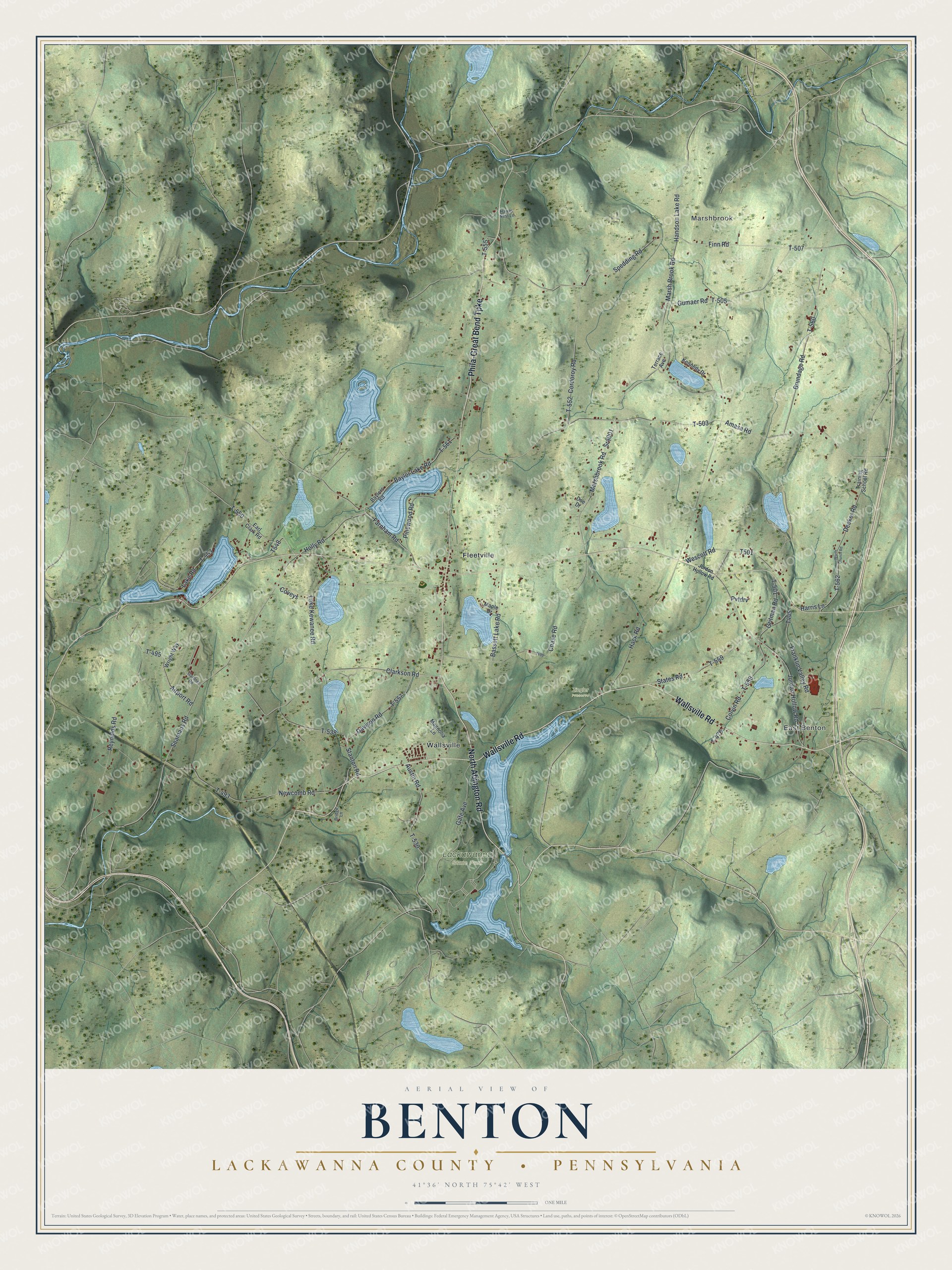
Street and place names on the Benton, Lackawanna County, Pennsylvania map
These names are printed on the map of Benton, Lackawanna County, Pennsylvania.
Places: Marshbrook, East Benton, Lackawanna State Park, Ziegler Preserve, Fleetville and Wallsville.
Streets and roads: Phila-Great Bend Turnpike, Wallsville Road, North Abington Road, Marsh Brook Road, Sr4001, Handson Lake Road, Spedding Road, Marshbrook Road, Decker Road, Chase Road, T-555, T-562.
More street names, A to Z
Airport Road, Amasa Road, Austin Road, Bassett Lake Road, Baylor Lake Road, Baylors Road, Bridge Lane, Brundage Road, Clarkson Road, Colvin Road, Cordoroy Road, Coveys, Davison Road, Doe Drive, Earl Clark Road, Farnham Road, Finn Road, Franklin Valley Road, Gardner Road, Gate Avenue, Gritman Road, Gumaer Road, Hack Road, Harris Lane, Hawks Nest Lane, Holly Road, Jordan Hollow Road, Jordon Hollow Road, Kennedy Drive, Lake Kewanee Road, Lake Road, Magnolia Lane, Maple Drive, Newcomb Road, Pinewood Road, Pvtdrv, Reynolds Road, Seamans Road, Stanton Road, States Road, T-476, T-493, T-495, T-501, T-503, T-505, T-507, T-530, T-538, T-550, T-552, T-553, T-557, T-558, T-559, T-560, T-561, Terrace Avenue, Training School Road, Wescott Road, Worth Church Road, Wright Way.
See the Benton, Lackawanna County, Pennsylvania map on a wall
The Benton, Lackawanna County map as an 18 x 24 inch print in a black frame.

This beautifully detailed map of Benton, Lackawanna County makes an attractive addition to your office, library, or den, and it can even be used to teach children the geography and history of the area. It also makes a great gift for anyone who grew up in Benton or moved away. When you’re done exploring, click here to get your copy of the Benton, Lackawanna County map.