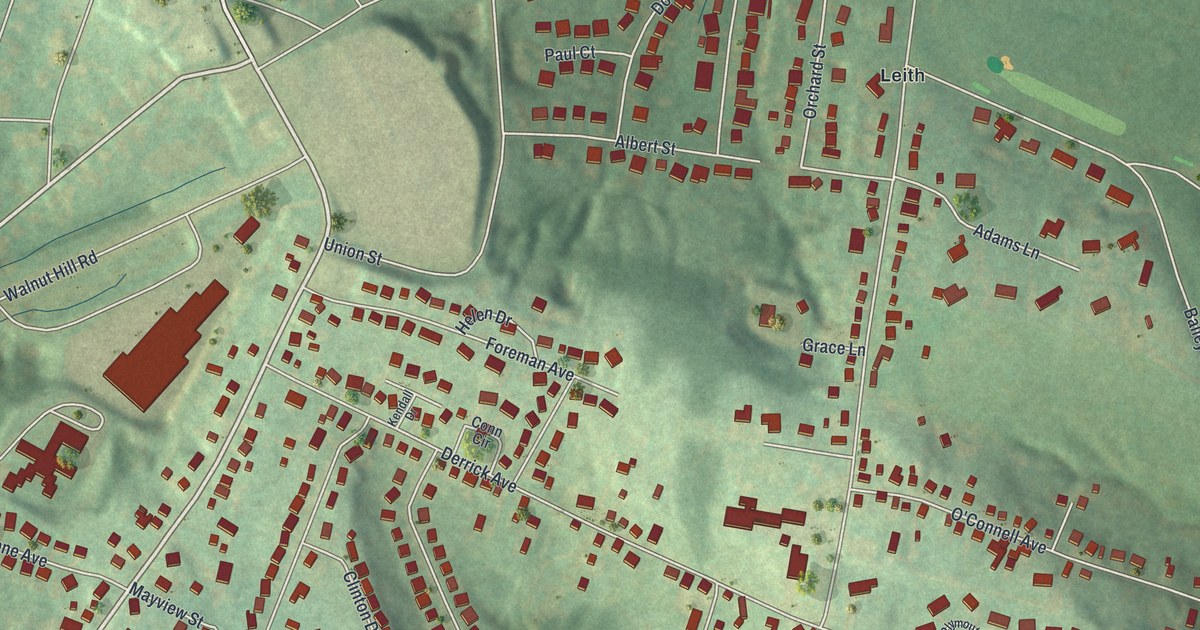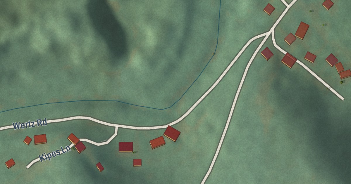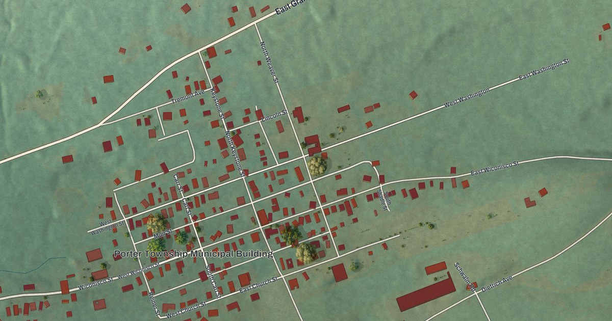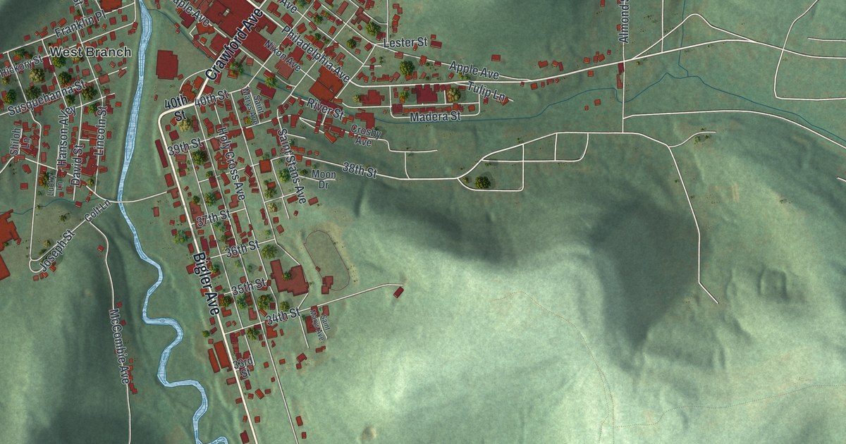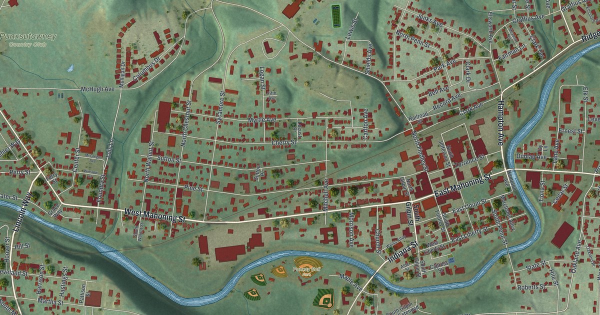
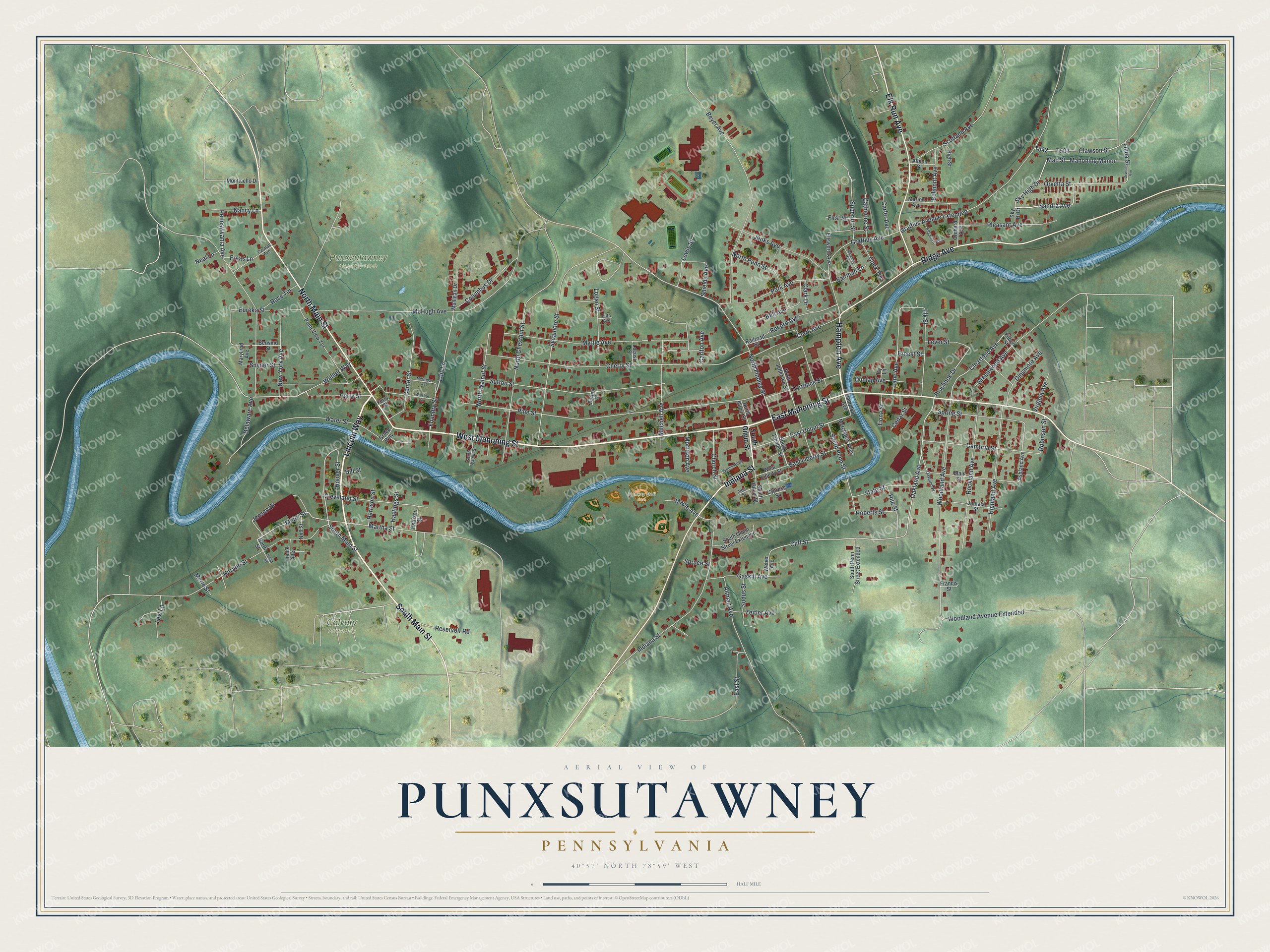
This beautifully detailed map of Punxsutawney, Pennsylvania was created in 2026 using aerial imagery combined with modern topographical, census, street and landmark data. It’s a one-of-a-kind view of Punxsutawney that combines accurate data with a vintage aesthetic. The map shows every building in its true location, many of the roads carry their names, and the shaded topographic relief shows the shape of the land.
Explore an aerial view of Punxsutawney, Pennsylvania
On the map you’ll find Punxsutawney Country Club, Punxsy Ball Park, and Calvary Cemetery, along with Lincoln Way, Hampton Avenue, West Mahoning Street, South Main Street, Indiana Street, East Mahoning Street, North Main Street, Ridge Avenue, Elk Run Avenue, and more. If you look closely you can even find your house accurately drawn in its correct location. Zoom in on the preview to look for yours.
Did you know this piece of Punxsutawney, Pennsylvania history?
From the 1888 History of Jefferson County, Pennsylvania: "The brethren here related an Indian myth to-wit: That the aforecited Indian hermit and sorcerer, after having been for so many years a terror to all Indians, had been killed by one who had burned his bones, but the ashes he blew into the swamp, and they became living things, and hence the Ponkis."
Take a closer look at the Punxsutawney map
Street and place names on the Punxsutawney, Pennsylvania map
These names are printed on the map of Punxsutawney, Pennsylvania.
Places: Punxsutawney Country Club, Punxsy Ball Park and Calvary Cemetery.
Streets and roads: Lincoln Way, Hampton Avenue, West Mahoning Street, South Main Street, Indiana Street, East Mahoning Street, North Main Street, Ridge Avenue, Elk Run Avenue, Perry Street, Wehler Way, Mac Street.
More street names, A to Z
Albion Street, Alder Street, Altman Avenue, Ashland Avenue, Bell Avenue, Belmont Avenue, Berwind Street, Beyer Avenue, Blair Street, Cambria Street, Carlton Avenue, Carmalt Avenue, Carter Avenue, Catherine Street, Cedar Street, Center Street, Cherry Street, Church Street, Clark Avenue, Clark Drive, Clark Terrace, Clawson Street, Clearfield Avenue, Cleveland Street, Cliff Street, Columbus Drive, Cypress Street, Delaware Avenue, Dinsmore Avenue, Dunlap Avenue, East Liberty Street, East Street, East Union Street, Elk Street, Ellsmore Avenue, Ellsworth Avenue, Ernest Street, Eureka Street, Fairman Lane, Ferry Street, Fifth Avenue, Filbert Street, First Street, Foundry Street, Francis Street, Freas Lane, Gaskill Avenue, Grace Way, Graffius Avenue, Graffius Avenue Extended, Greenwood Avenue, Harrison Street, Hastings Street, Highland Avenue, High Street, Hile Street, Hill Street, Hoover Street, Horatio Street, Houck Alley, Irwin Street, Ivy Lane, Jenks Avenue, Jensen Drive, Juniata Street, Lane Avenue, Lever Street, Levi Lane, Lewis Street, Linda Street, Locust Street, Logan Street, Lois Lane, Mahoning Manor, Maple Avenue, Marion Avenue, Martha Street, Maryland Avenue, McGregor Avenue, McHugh Avenue, Meadow Road, Merchants Alley, Merle Street, Meter Street, Mitchell Avenue, Monticello Drive, Morrison Avenue, Mulligan Drive, Myrtle Avenue, Nancy Lane, Neal Lane, Neff Street, New York Avenue, North Chestnut Street, North Findley Street, North Gilpin Street, North Jefferson Street, North Penn Street, North Street, North Walnut Street, Oakland Avenue, Oakland Place, Orchard Avenue, Orveta Avenue, Orvetta Street, Park Avenue, Pattison Street, Pennsylvania Avenue, Pine Street, Pleasant Avenue, Point View Terrace, Prushnok Drive, Railroad Street, Record Avenue, Reservoir Road, Roberts Street, Robinson Street, Rockland Avenue, Rose Terrace, Sandra Avenue, Scotland Avenue, Shields Avenue, Sky Hi Drive, Sky High Drive, Snyder Street, Sodus Street, South Findley Street, South Gilpin Street, South Gilpin Street Extended, South Penn Street, South Penn Street Extended, South Walnut Street, Spring Street, Spruce Street, State Street, Superior Street, Sutton Place, Sutton Street, Sycamore Street, Tiona Street, Torrence Street, Virginia Avenue, Water Street, Weber Avenue, Weiss Alley, West Liberty Street, Winslow Street, Woodland Avenue, Woodland Avenue Extended, Zeitler Avenue.
See the Punxsutawney, Pennsylvania map on a wall
The Punxsutawney map as an 18 x 24 inch print in a black frame.

This beautifully detailed map of Punxsutawney makes an attractive addition to your office, library, or den, and it can even be used to teach children the geography and history of the area. It also makes a great gift for anyone with Punxsutawney roots. When you’re done exploring, click here to get your copy of the Punxsutawney map.