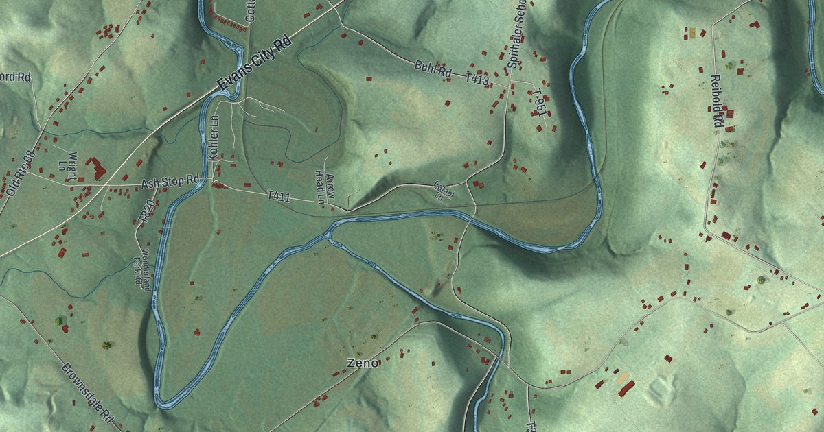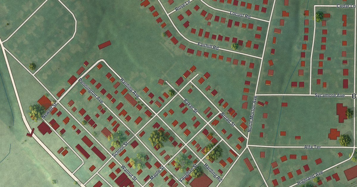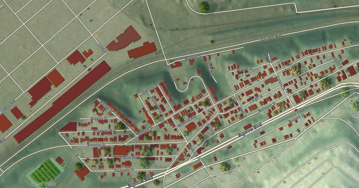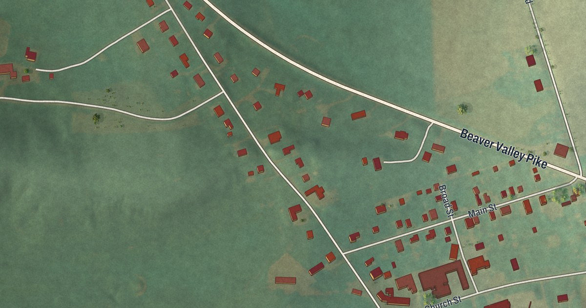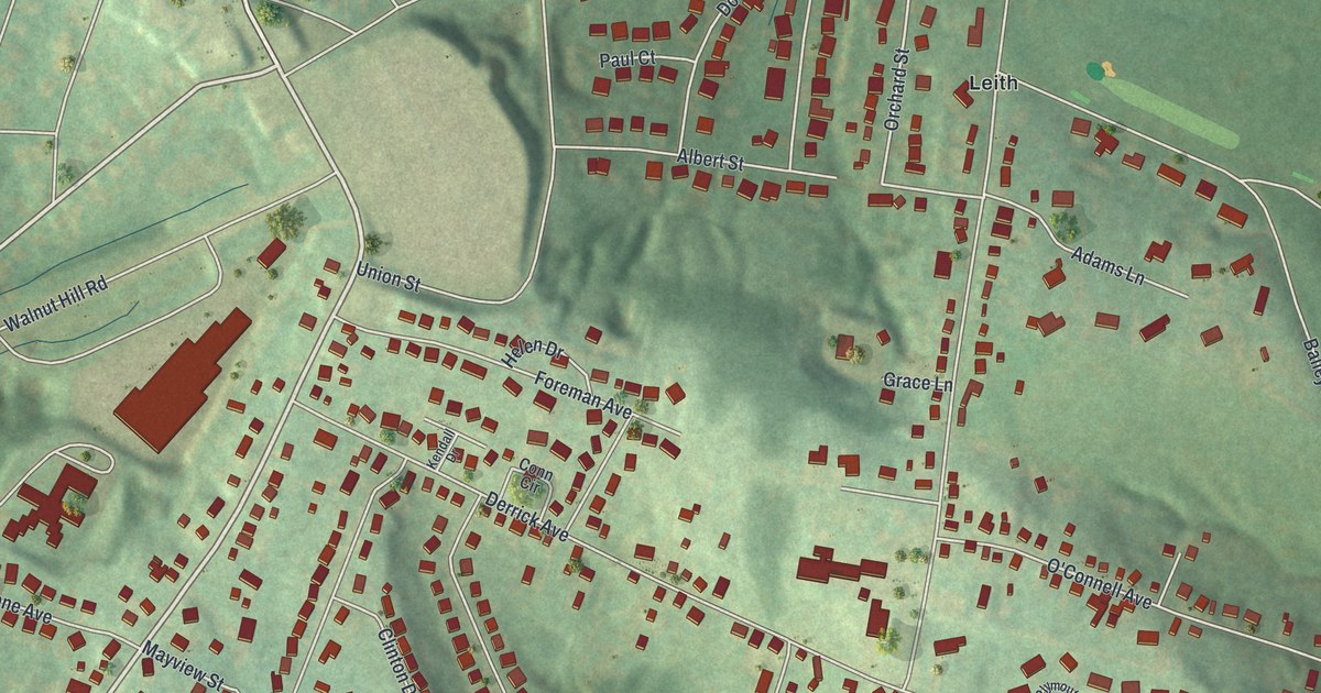
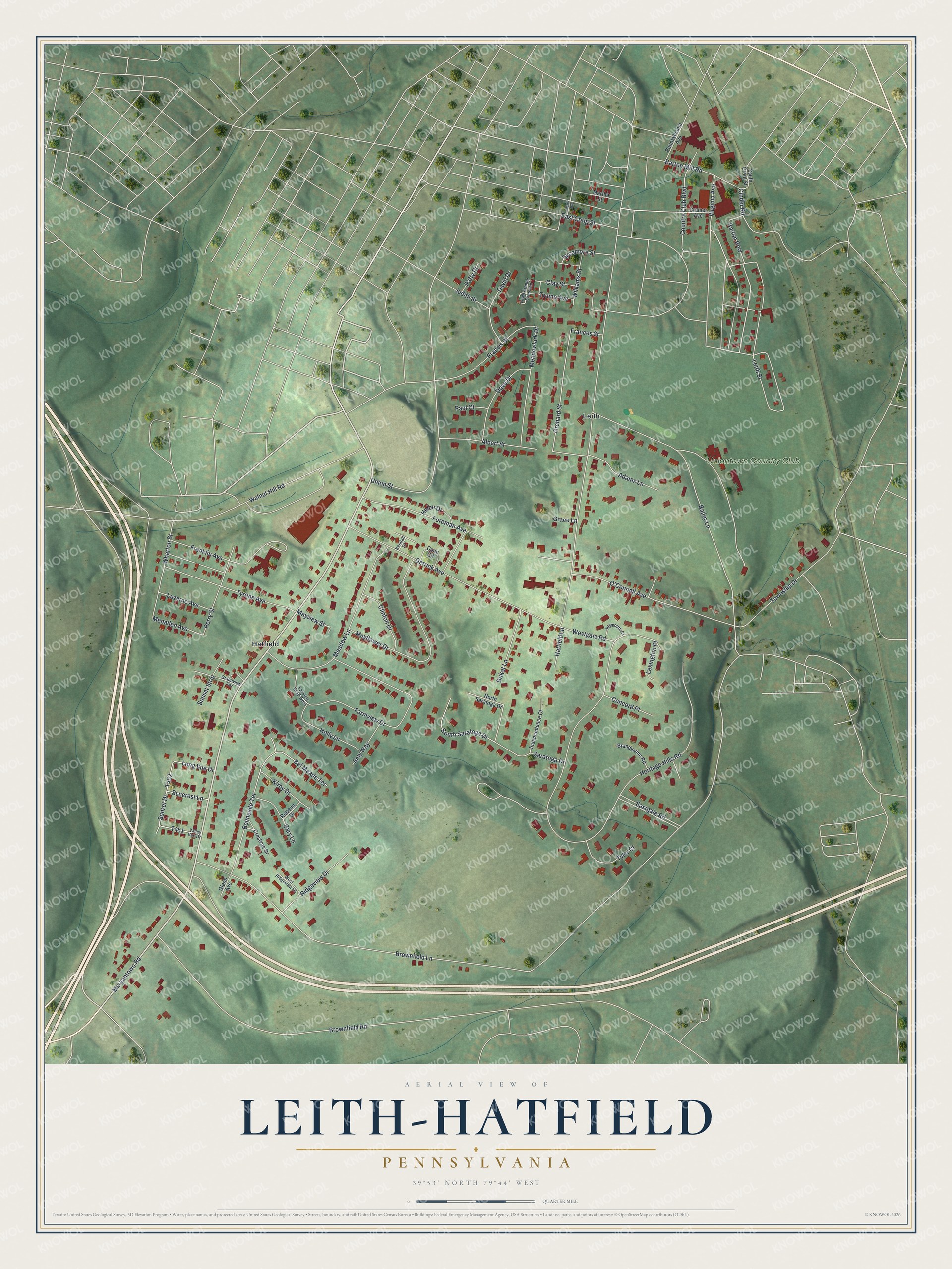
This beautifully detailed map of Leith-Hatfield, Pennsylvania was created in 2026 using aerial imagery combined with modern topographical, census, street and landmark data. It's a modern aerial view of Leith-Hatfield in Fayette County, Pennsylvania, that combines modern data with a vintage aesthetic. The roads feature printed names, and if you look closely you can find your exact house accurately shown in its correct location.
Explore an aerial view of Leith-Hatfield, Pennsylvania
On this map you'll find Hatfield, Leith, Uniontown Country Club, Morgantown Road, Virginia Avenue, Albert Street, Orchard Street, Menallen Avenue, Belmeade Terrace, Brownfield Lane, Derrick Avenue, Heritage Hills Road, and more. Each red shape is a building, so zoom in on the preview and look for yours.
Leith-Hatfield is a community in Fayette County. The Census Bureau counted 2,672 people here in 2020. Leith-Hatfield sits about 2 miles south of Uniontown, 2 miles west of Hopwood and 2 miles southwest of East Uniontown. The map prints the town name in its title panel, with the coordinates below it.
Take a closer look at the Leith-Hatfield map
Names on this map
These names are printed on this map.
Places: Hatfield, Leith and Uniontown Country Club.
Streets and roads: Morgantown Road, Virginia Avenue, Albert Street, Orchard Street, Menallen Avenue, Belmeade Terrace, Brownfield Lane, Derrick Avenue, Heritage Hills Road, Brownfield Road, Mayflower Drive, Bailey Lane.
More street names, A to Z
Adams Lane, Amy Way, Barton Mill Road, Barton Row, Bary Lane, Bel Meade Terrace, Brandywine Road, Byrer Avenue, Cinder Road, Clay Street, Clinton Drive, Concord Place, Conn Circle, Country Club Boulevard, Cramer Avenue, Crestvue Drive, David Drive, Dove Drive, Dukat Lane, East Craig Street, Eastgate Road, Fairview Road West, Farmview Drive, Foreman Avenue, Frances Street, Francis Street, Franklin Avenue, Glenn Avenue, Grace Lane, Grandview Terrace, Hatfield Lane, Helen Drive, Holly Lane, Independence Court, Judith Street, Kendall Drive, Kirby Drive, Lawn Avenue Extended, Leith Street, Lexington Place, Long Vue Drive, Luzerne Avenue, Martha Street, Mayview Street, Meadow Lane, Meadowlark Drive, North Saratoga Drive, O'Connell Avenue, Patty Drive, Paul Court, Pennsylvania Avenue, Perry Street, Plymouth Court, Ridgeview Drive, Roberta Drive, Saratoga Drive, South Grant Street, South Saratoga Drive, Suncrest Lane, Sunset Drive, Sunset Strip, Sycamore Street, Township Drive, Trump Avenue, Tyler Court, Tyrone Avenue, Union Street, Valley Vue Drive, Walnut Hill Road, Westgate Road, West Ridgeview Drive, Wharton Street, Williams Street.
See it on a wall
The Leith-Hatfield map as a framed print. Swipe for more.


Created by KNOWOL in 2026. The buildings are small red shapes, the roads carry their printed names, and shaded relief shows the shape of the land. The title panel reads "AERIAL VIEW OF LEITH-HATFIELD, PENNSYLVANIA" with 39°53' NORTH 79°44' WEST.
It suits a den, a classroom or a front hall, and it makes a gift for anyone with Leith-Hatfield roots. Open the preview and find the block you know. See sizes and frames for the Leith-Hatfield map.