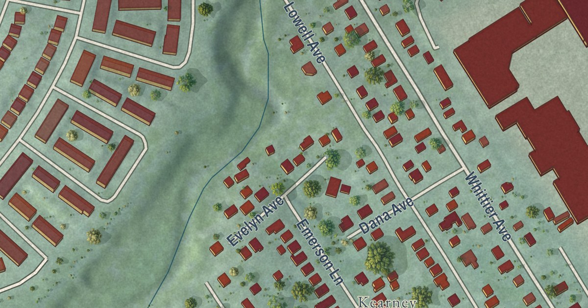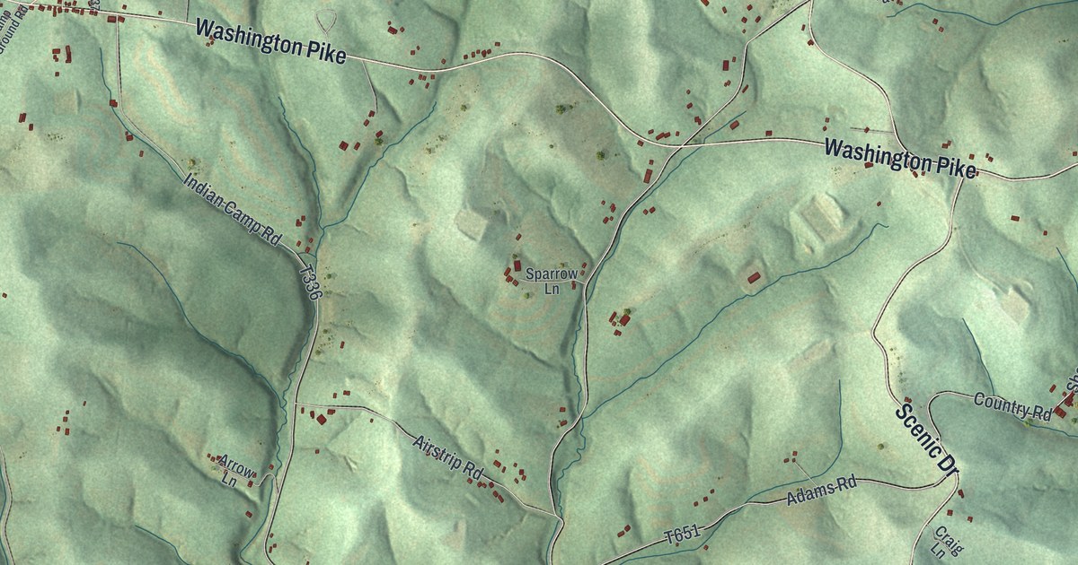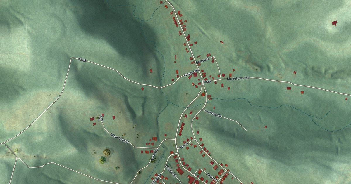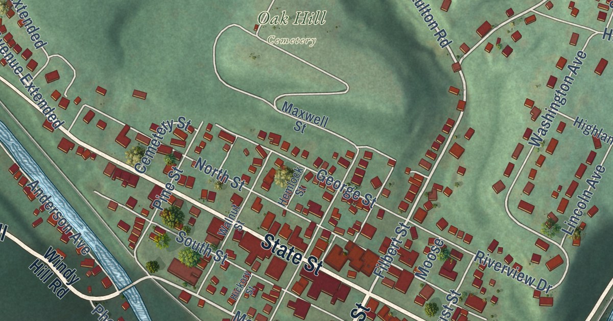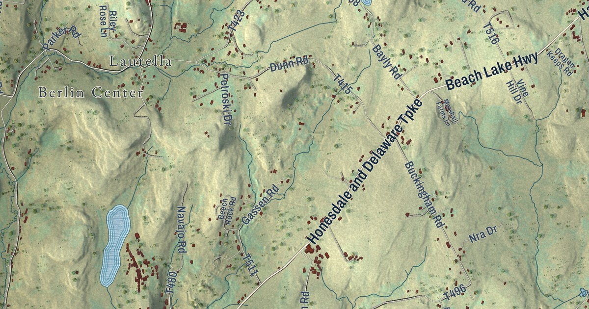
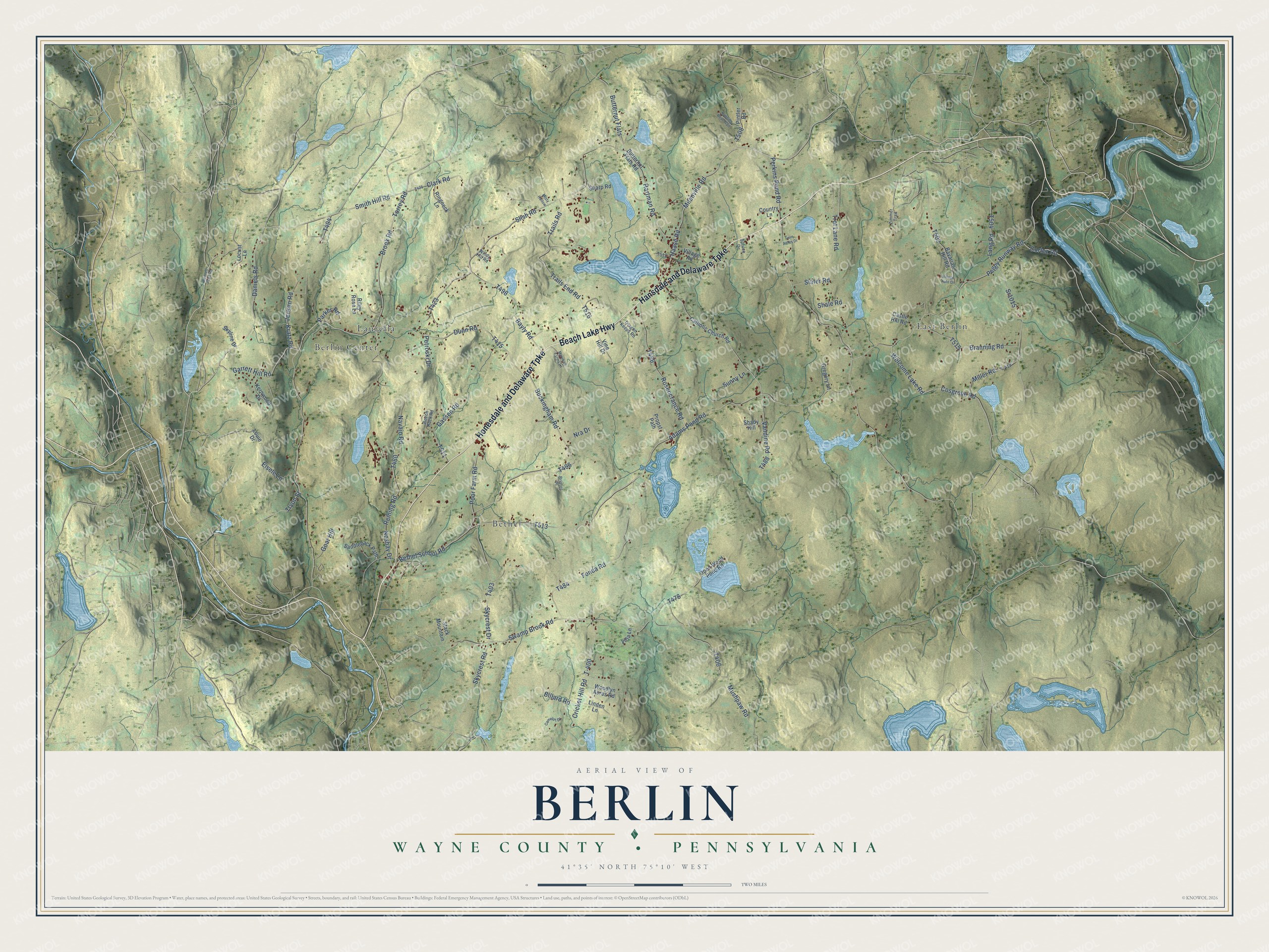
This beautifully detailed map of Berlin, Wayne County, Pennsylvania was created in 2026 using aerial imagery combined with modern topographical, census, street and landmark data. It’s a one-of-a-kind view of Berlin that combines accurate data with a vintage aesthetic. The map shows every building in its true location, many of the roads carry their names, and the shaded topographic relief shows the shape of the land.
Explore an aerial view of Berlin, Wayne County, Pennsylvania
On the map you’ll find Berlin Center, Bethel, East Berlin, and Laurella, along with Beach Lake Highway, Honesdale and Delaware Turnpike, Hansdale and Delaware Turnpike, Haase Road, Torrey Road, Bayly Road, Smith Hill Road, Garrett Hill Road, and more. If you look closely you can even find your house accurately drawn in its correct location. Zoom in on the preview to look for yours.
Did you know this piece of Berlin, Wayne County, Pennsylvania history?
Samuel Smith, born in Canada of German roots, was probably the first settler in what is now Berlin Township. Near 1800 he took up land on the ridge later named Smith Hill. Around 1830, families from Cornwall and Devonshire in England took up the fertile farms around Beech Pond. That’s from the 1886 History of Wayne, Pike and Monroe Counties, Pennsylvania.
Take a closer look at the Berlin, Wayne County map
Street and place names on the Berlin, Wayne County, Pennsylvania map
These names are printed on the map of Berlin, Wayne County, Pennsylvania.
Places: Laurella, East Berlin, Bethel and Berlin Center.
Streets and roads: Beach Lake Highway, Honesdale and Delaware Turnpike, Hansdale and Delaware Turnpike, Haase Road, Torrey Road, Bayly Road, Smith Hill Road, Garrett Hill Road, Daniels Road, Clark Road, Perkins Pond Road, Cricket Hill Road.
More street names, A to Z
Adams Pond Road, Bavarian Hill Road, Beech Rock Road, Bethel School Road, Billard Road, Branning Road, Bristol Place, Brook Road, Buckingham Road, Bunnell Pond Road, Butternut Flats, Butternut Flats Road, Camelot Drive, Castle Hill Road, Catholic Church Road, Cortez Road, Cosgrove Road, Country Lane, Dragon Keeps Road, Dunn Road, Eisele Lane, Fonda Road, Gassen Road, Goat Hill, Gregory Lane, Hartman Road, Jensen Road, Kernwood Drive, Kratz Road, Lang Road, Linden Lane, Locust Lane, Louie Drive, Marshall Farms Lane, Milanville Road, Miller Road, Misty Hollow, Mushpaw Road, Navajo Road, Noshav Drive, Nra Drive, Open Wood Pond Road, Parker Road, Peggy Runway Road, Petroski Drive, Pintler Road, Poor Farm Road, Propst Path, Reining Road, Riley Rose Lane, Ringneck Lane, Rosencrance Road, Running Bear Trail, Saddleback Path, Shady Hill, Shale Road, Sharp Road, Skycrest Drive, Skycrest Road, Skyline Drive, Slater Road, Slish Road, Spruce Drive, Sr1015, Stack Mountain, Sunny Lane, Swamp Brook Road, T-400, T-419, Trails End Road, Trails Road, Trot Lane Road, Tryon Street, Twin Acres Drive, Vandine Road, Village Auto Drive, Village Road, Villa Lane, Vine Hill Drive, Welcome Lake Road, Windy Hill Road, Woodlyn Acres Road, Zimmer Trail.
See the Berlin, Wayne County, Pennsylvania map on a wall
The Berlin, Wayne County map as an 18 x 24 inch print in a black frame.

This beautifully detailed map of Berlin, Wayne County makes an attractive addition to your office, library, or den, and it can even be used to teach children the geography and history of the area. It also makes a great gift for anyone who grew up in Berlin or moved away. When you’re done exploring, click here to get your copy of the Berlin, Wayne County map.