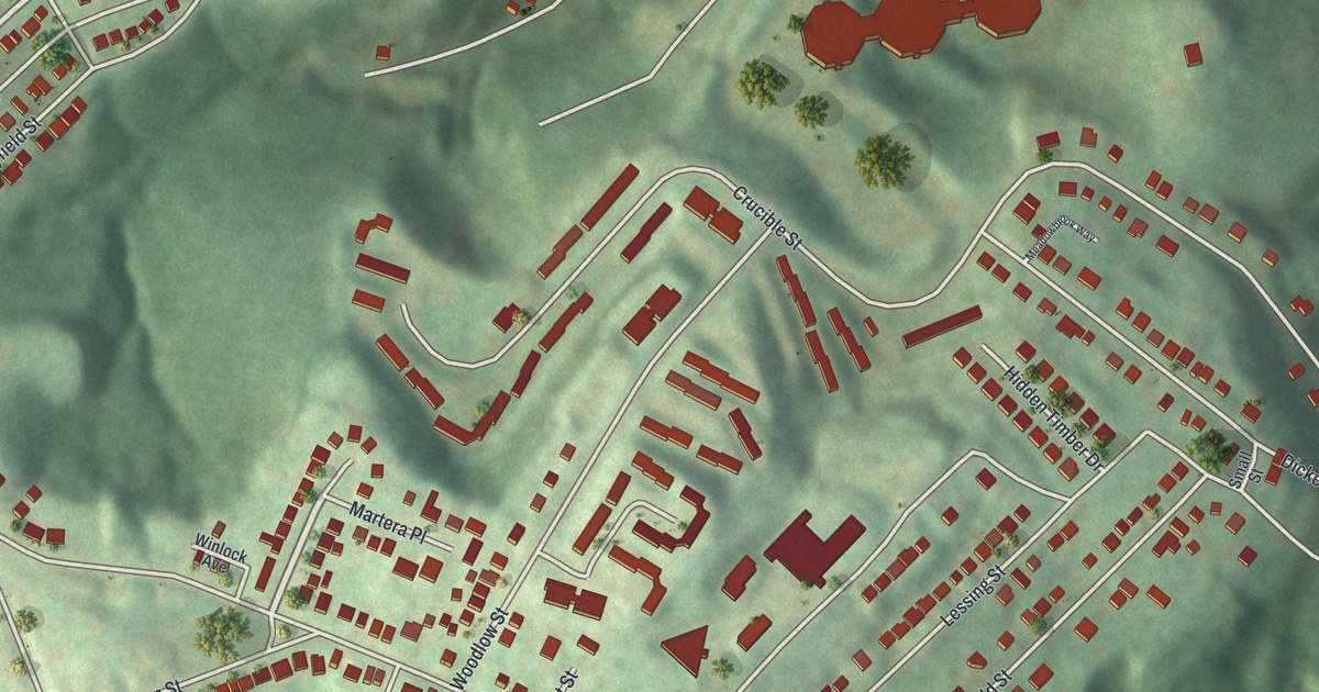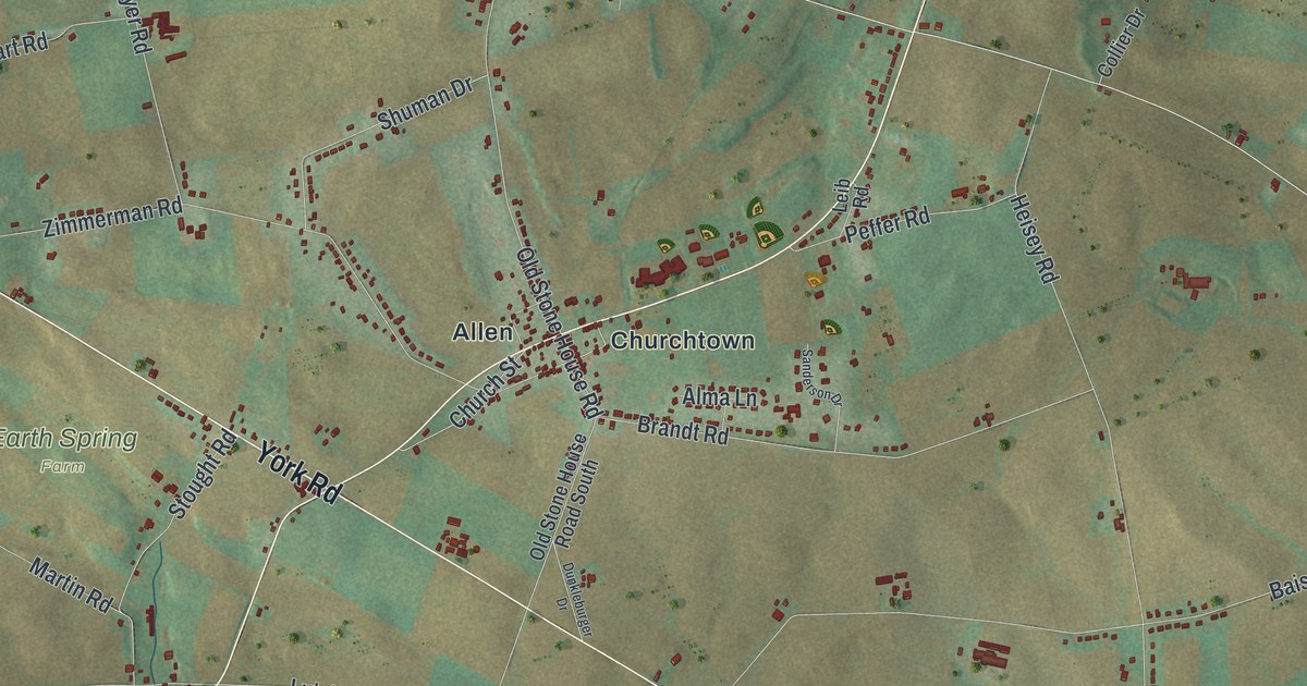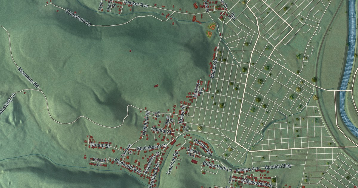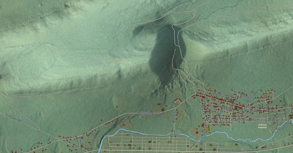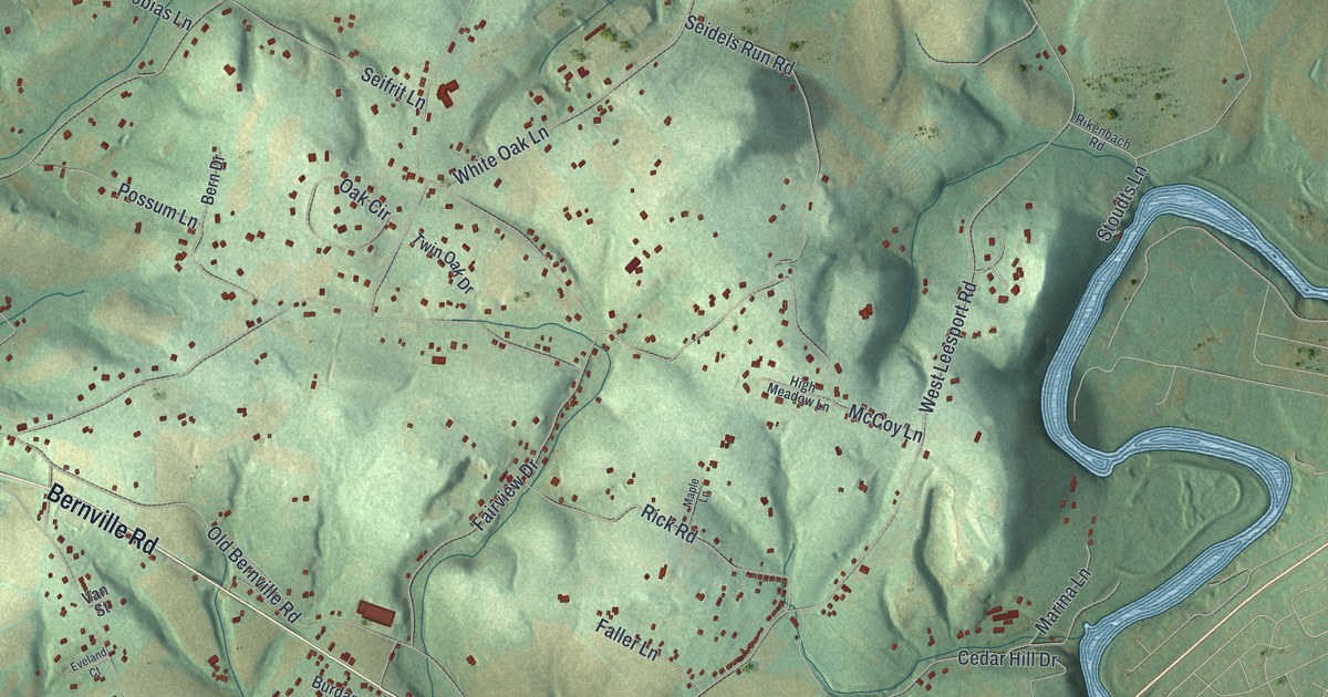
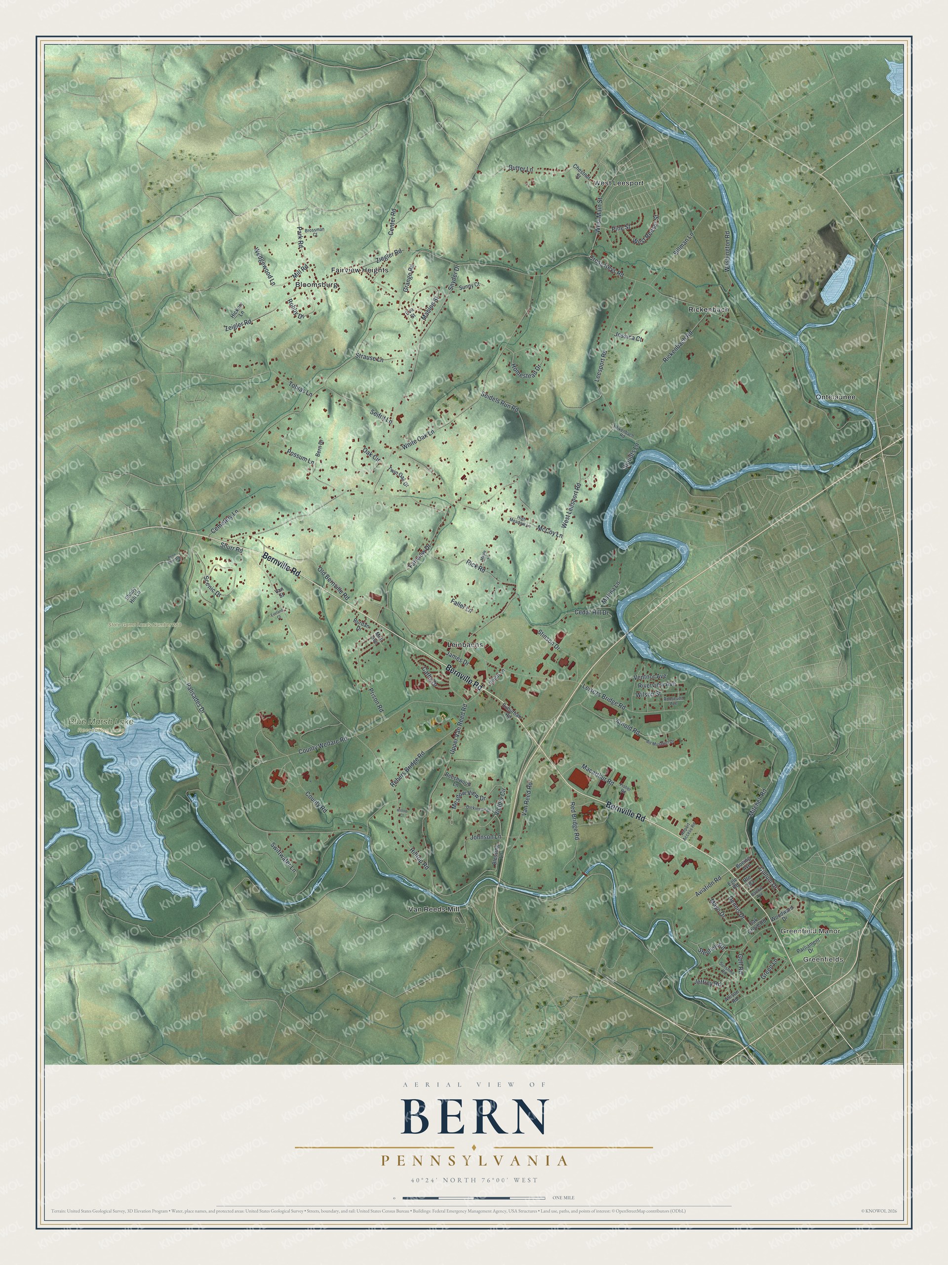
This beautifully detailed map of Bern, Pennsylvania was created in 2026 using aerial imagery combined with modern topographical, census, street and landmark data. It's a modern aerial view of Bern in Berks County, Pennsylvania, that combines modern data with a vintage aesthetic. The roads feature printed names, and if you look closely you can find your exact house accurately shown in its correct location.
Explore an aerial view of Bern, Pennsylvania
On this map you'll find Greenfields, Greenfield Manor, Blue Marsh Lake Recreation Area, State Game Lands Number 280, Bloomsburg, Fairview Heights, Leinbachs, Ontelaunee, Rickenbach, Van Reeds Mill, West Leesport, Bernville Road, and more. Each red shape is a building, so zoom in on the preview and look for yours.
Bern has a story worth telling. The Pennsylvania Historical and Museum Commission puts it this way: "Revolutionary soldier, Congressman, Governor 1820-1823, lived in the Hiester Mansion. Now a part of the Berks County Welfare Farm."
Bern is a place in Berks County. The Census Bureau counted 6,706 people here in 2020.
Take a closer look at the Bern map
Names on this map
These names are printed on this map.
Places: Greenfields, Greenfield Manor, Blue Marsh Lake Recreation Area, State Game Lands Number 280, Bloomsburg, Fairview Heights, Leinbachs, Ontelaunee, Rickenbach, Van Reeds Mill and West Leesport.
Streets and roads: Bernville Road, Cullum Drive, Pine Street, Mahlon Street, Shurr Road, Grange Road, Palisades Drive, Fairview Drive, White Oak Lane, Leisczs Bridge Road, Hilltop Road, Cross Keys Road.
More street names, A to Z
Air Museum Drive, Airport Access Road, Allison Road, Arnold Road, Aviation Road, Barlow Avenue, Beechwood Lane, Bern Drive, Blessing Lane, Boeing Avenue, Brossman Court, Burdan Drive, Butter Lane, Cathy Drive, Cedar Hill Drive, Cemetery Lane, Center Road, Chestnut Street, County Road, County Welfare Road, Dennis Drive, Dickinson Drive, Egle Road, Eva Street, Eveland Court, Faller Lane, Fisher Road, Golf Road, Green Lane, Hickory Lane, High Meadow Lane, Hilltop Court, Homestead Drive, James Drive, Jeffrey Road, Jessica Court, Johnson Lane, Leesport Road, Macarthur Road, Maple Lane, Marina Lane, Mayo Drive, McCoy Lane, Meadow View Drive, Mill Road, Mitchell Road, Mull Avenue, Oak Circle, Oak Grove Road, Old Bernville Road, Park Road, Parliament Drive, Penn Bern Road, Possum Lane, Prison Road, Rebers Bridge Road, Red Bridge Road, Rickenbach Road, Rick Road, Rikenbach Road, Riverview Avenue, Robby Drive, Roosevelt Avenue, Route 183, Scenic Drive, Seidels Run Road, Seifrit Lane, Shady Hill Lane, Sillman Lane, Snyder Drive, Stephen Road, Stinson Drive, Stoudts Lane, Strause Lane, Suburban Road, Sunny Court, Sunshine Road, Swiftwater Lane, Tobias Lane, Twin Oak Drive, Ulrich Lane, Upper Van Reed Road, Van Reed Road, Van Street, Ventnor Avenue, Victory Circle, Washington Road, Wedgewood Lane, West Leesport Road, West Main Street, West Reeser Street, Wilson Street, Woodward Drive, Zeigler Road, Ziegler Road.
Created by KNOWOL in 2026. The buildings are small red shapes, the roads carry their printed names, and shaded relief shows the shape of the land. The title panel reads "AERIAL VIEW OF BERN PENNSYLVANIA" with 4, 0, °, 2, 4, ', , N, O, R, T, H, , 7, 6, °, 0, 0, ', , W, E, S, T.
It looks right in a kitchen, an office or a den, and it's a gift for anyone who grew up in Bern or moved away. Open the preview and find your street. See sizes and frames for the Bern map.