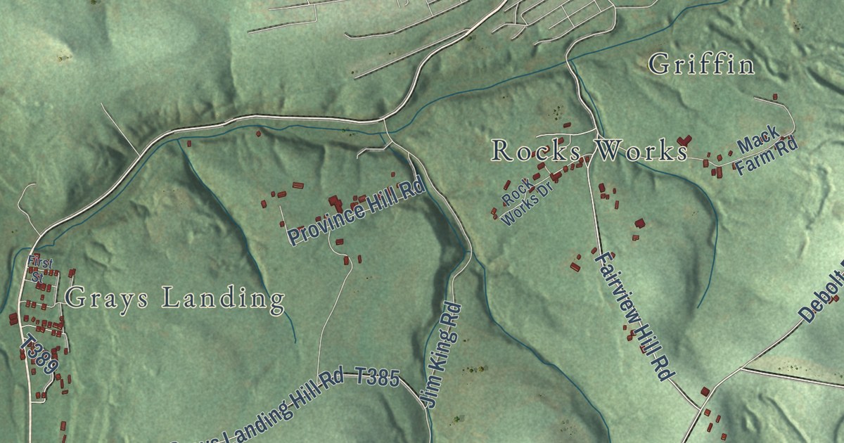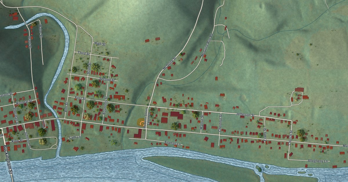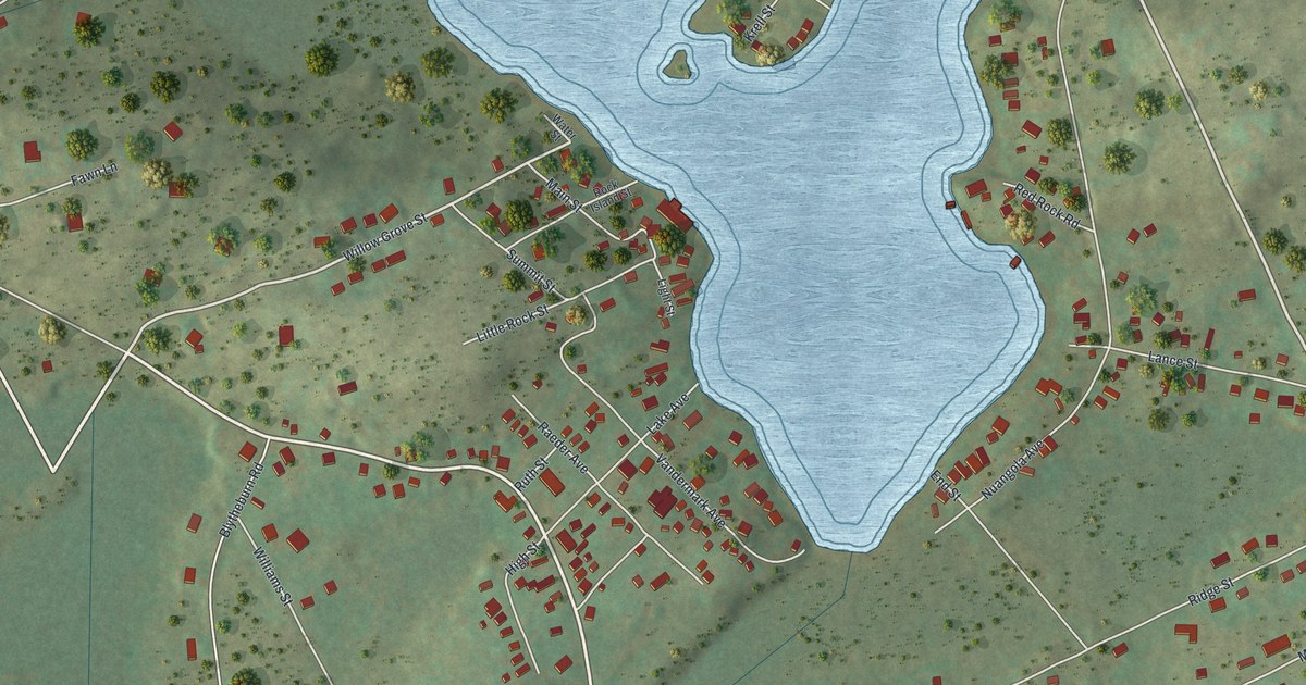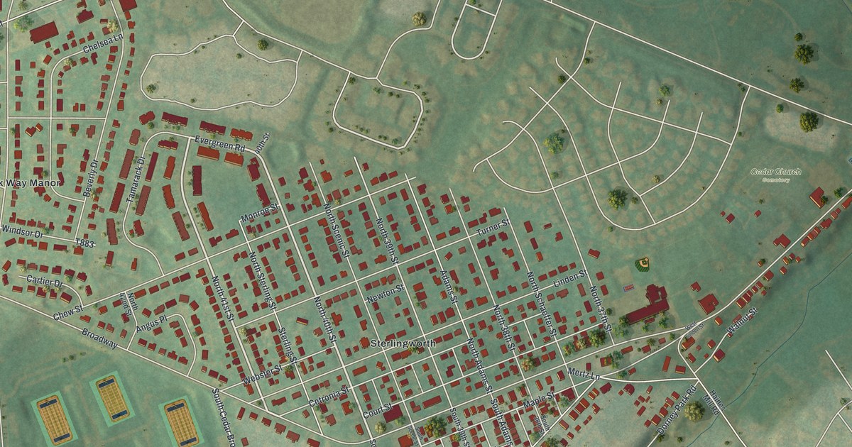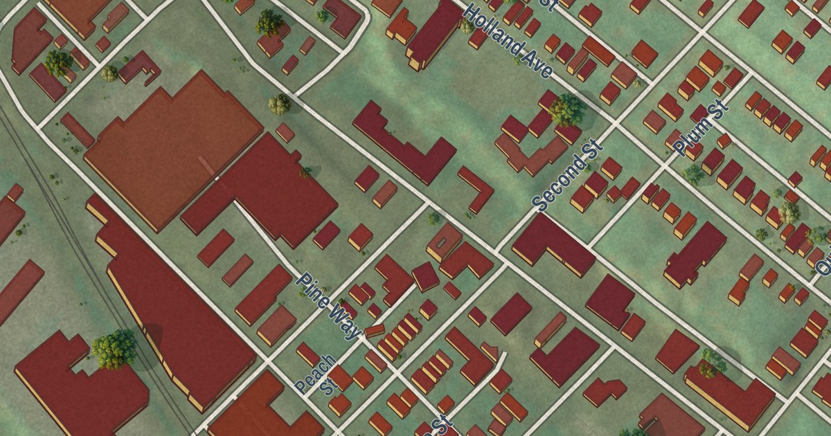
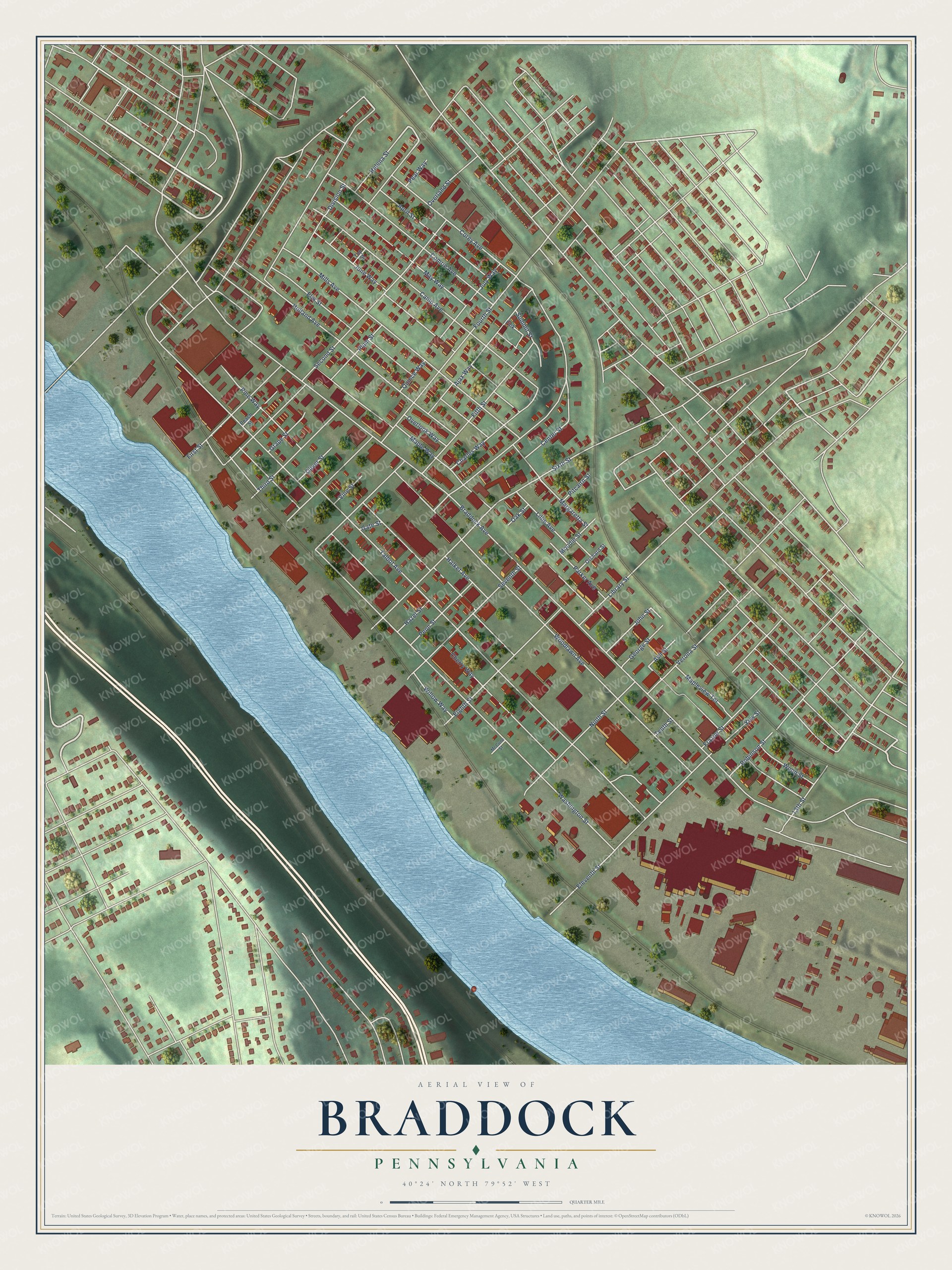
This beautifully detailed map of Braddock, Pennsylvania was created in 2026 using aerial imagery combined with modern topographical, census, street and landmark data. It’s a one-of-a-kind view of Braddock that combines accurate data with a vintage aesthetic. The map shows every building in its true location, many of the roads carry their names, and the shaded topographic relief shows the shape of the land.
Explore an aerial view of Braddock, Pennsylvania
On the map you’ll find Maple Way, Braddock Avenue, Talbot Avenue, Washington Street, Corey Avenue, Woodlawn Avenue, Pine Way, Cherry Way, Second Street, Fourth Street, Fifth Street, Sixth Street, and more. If you look closely you can even find your house accurately drawn in its correct location. Zoom in on the preview to look for yours.
Did you know this piece of Braddock, Pennsylvania history?
Braddock holds the first of Andrew Carnegie’s public libraries in the United States. The Carnegie Free Library of Braddock was dedicated on March 30, 1889. Mill workers could walk through a tunnel to a basement bathhouse and clean up before going inside. A local historical society saved the building from demolition in 1978, and it still serves as a library.
Take a closer look at the Braddock map
Street names on the Braddock, Pennsylvania map
These names are printed on the map of Braddock, Pennsylvania.
Streets and roads: Maple Way, Braddock Avenue, Talbot Avenue, Washington Street, Corey Avenue, Woodlawn Avenue, Pine Way, Cherry Way, Second Street, Fourth Street, Fifth Street, Sixth Street.
More street names, A to Z
13th Street, Ajax Way, April Street, Ash Street, Camp Avenue, Center Street, Charles Way, Comrie Avenue, Division Street, Eighth Street, Eleventh Street, Elm Street, Fink, First Street, Frazier Street, Gate Street, George Street, Grape Street, Halket Avenue, Hazel Street, Helena Street, Holland Avenue, John Street, July Way, June Way, Library Street, Lillie Avenue, Mapleview Terrace, Margaretta Street, May Way, McCune Street, Mills Avenue, Moodie Street, Ninth Street, Oak Street, Oliver Street, Orchard Street, Overland Street, Overlook Way, Parker Avenue, Peach Street, Pear Way, Penn Street, Pitcairn Street, Plum Street, Quince Way, Robinson Street, Seventh Street, Summit Street, Tenth Street, Third Street, Top Street, Verona Street, Vine Street, Willow Way, Wood Street, Yew Street.
See the Braddock, Pennsylvania map on a wall
The Braddock map as an 18 x 24 inch print in a black frame.

This beautifully detailed map of Braddock makes an attractive addition to your office, library, or den, and it can even be used to teach children the geography and history of the area. It also makes a great gift for anyone who grew up in Braddock or moved away. When you’re done exploring, click here to get your copy of the Braddock map.