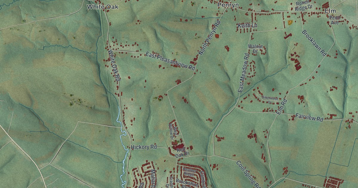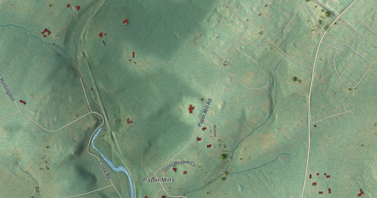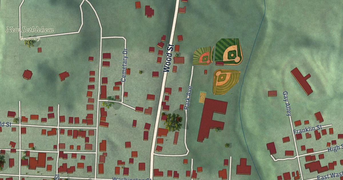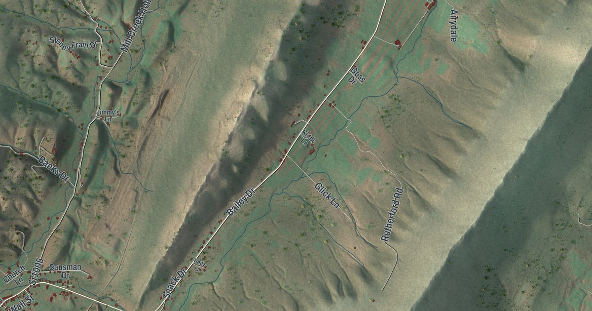
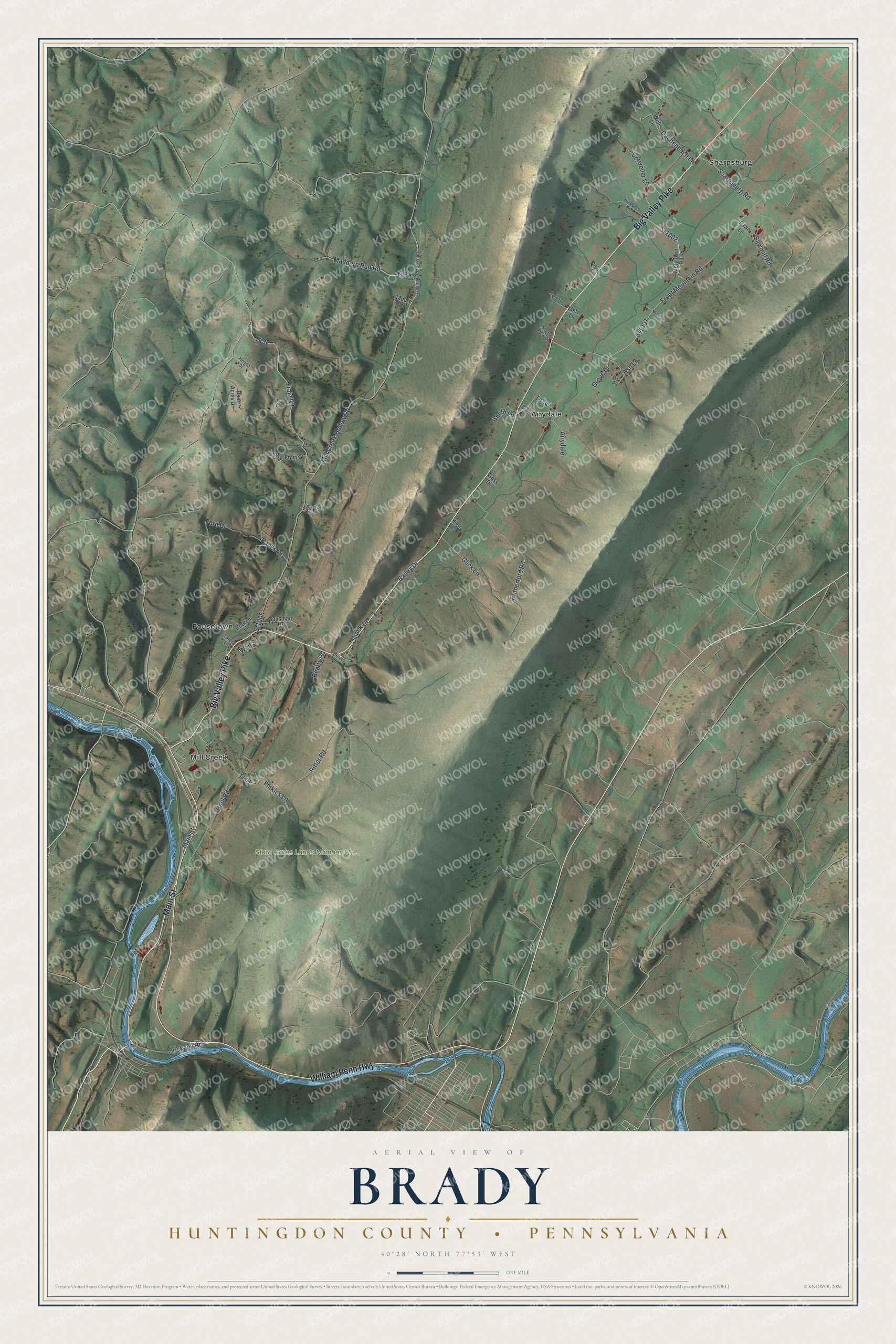
This beautifully detailed map of Brady, Huntingdon County, Pennsylvania was created in 2026 using aerial imagery combined with modern topographical, census, street and landmark data. It’s a one-of-a-kind view of Brady that combines accurate data with a vintage aesthetic. The map shows every building in its true location, many of the roads carry their names, and the shaded topographic relief shows the shape of the land.
Explore an aerial view of Brady, Huntingdon County, Pennsylvania
On the map you’ll find State Game Lands Number 112, Airydale, Fousetown, Mill Creek, and Sharpsburg, along with Main Street, William Penn Highway, Big Valley Pike, Front Mountain Road, Mill Creek Hollow Road, and more. If you look closely you can even find your house accurately drawn in its correct location. Zoom in on the preview to look for yours.
Did you know this piece of Brady, Huntingdon County, Pennsylvania history?
Brady Township honors Hugh Brady, a brigadier general in the U.S. Army. He was a native of Huntingdon. The township split off from Henderson in 1846. It includes the villages of Fousetown and Airydale.
Take a closer look at the Brady, Huntingdon County map
Street and place names on the Brady, Huntingdon County, Pennsylvania map
These names are printed on the map of Brady, Huntingdon County, Pennsylvania.
Places: State Game Lands Number 112, Airydale, Fousetown, Mill Creek and Sharpsburg.
Streets and roads: Main Street, William Penn Highway, Big Valley Pike, Sr1007, Sr1002, Front Mountain Road, Mill Creek Hollow Road, Sr1005, Haul Road, Frain Road, Rutherford Road, Dachenbach Lane.
More street names, A to Z
Ash Lane, Bailey Drive, Banks Drive, Beatty Road, Brown Road, Church Lane, Deer Acres Drive, Detweiler Lane, Emery Lane, Fawn Lane, Finkles Lane, Ford Drive, Glick Lane, Goss Drive, Grove Drive, Hawn Drive, Heidel Lane, Height Drive, Hickory Lane, Himes Hollow Road, Huey Lane, Jimmy's Lane, Kidds Lane, Logging Road 31040, Maddern Run Road, Metz Lane, Metztown Road, Moore Drive, Null Lane, Oak Road, Oriskany Road, Reitz Lane, Ritter Road, Sausman Drive, Sawmill Road, Scenic View Drive, Sharpsburg Road, Smith Lane, Snack Drive, Stoney Frain Drive, Wakefield Lane, Wall Street.
See the Brady, Huntingdon County, Pennsylvania map on a wall
The Brady, Huntingdon County map as an 18 x 24 inch print in a black frame.

This beautifully detailed map of Brady, Huntingdon County makes an attractive addition to your office, library, or den, and it can even be used to teach children the geography and history of the area. It also makes a great gift for anyone who grew up in Brady or moved away. When you’re done exploring, click here to get your copy of the Brady, Huntingdon County map.