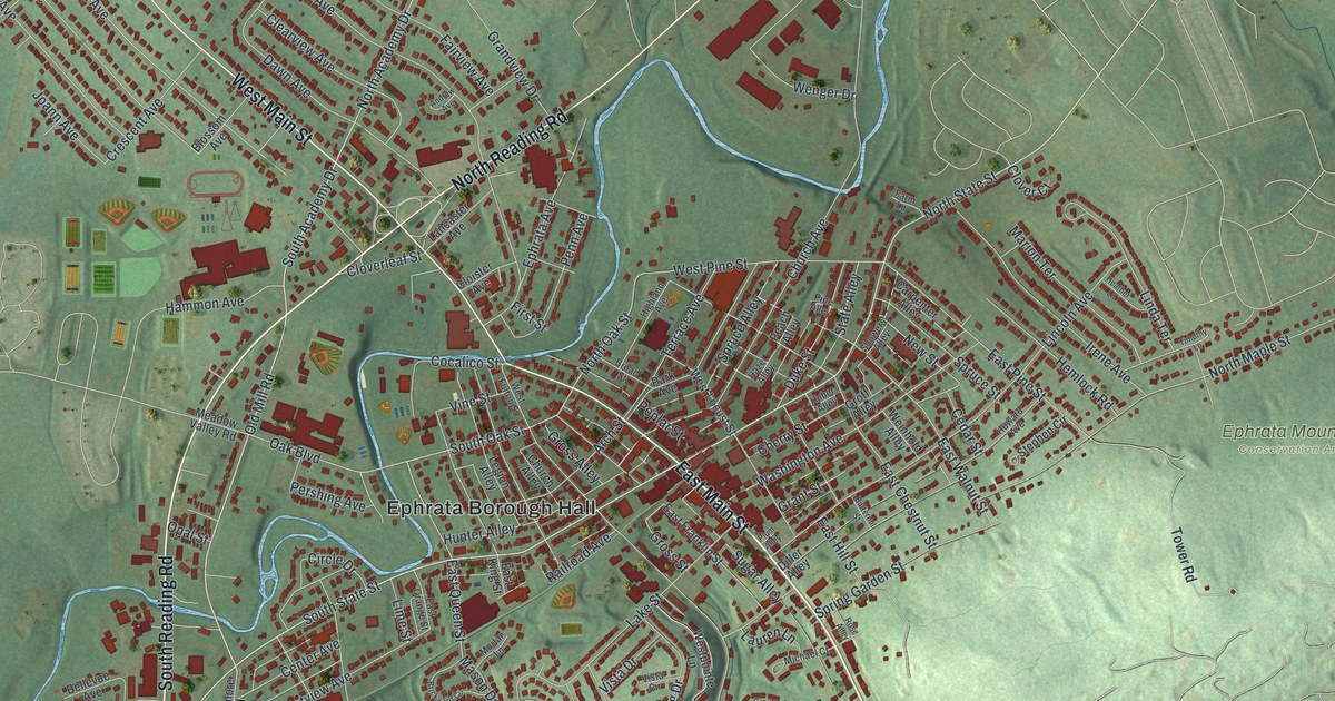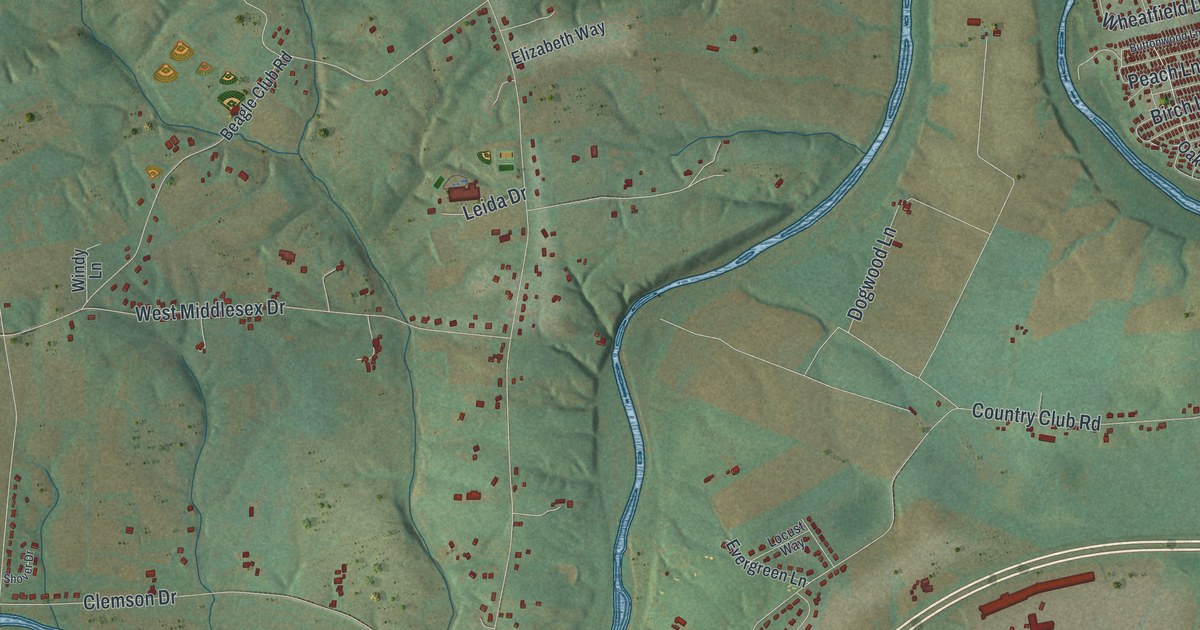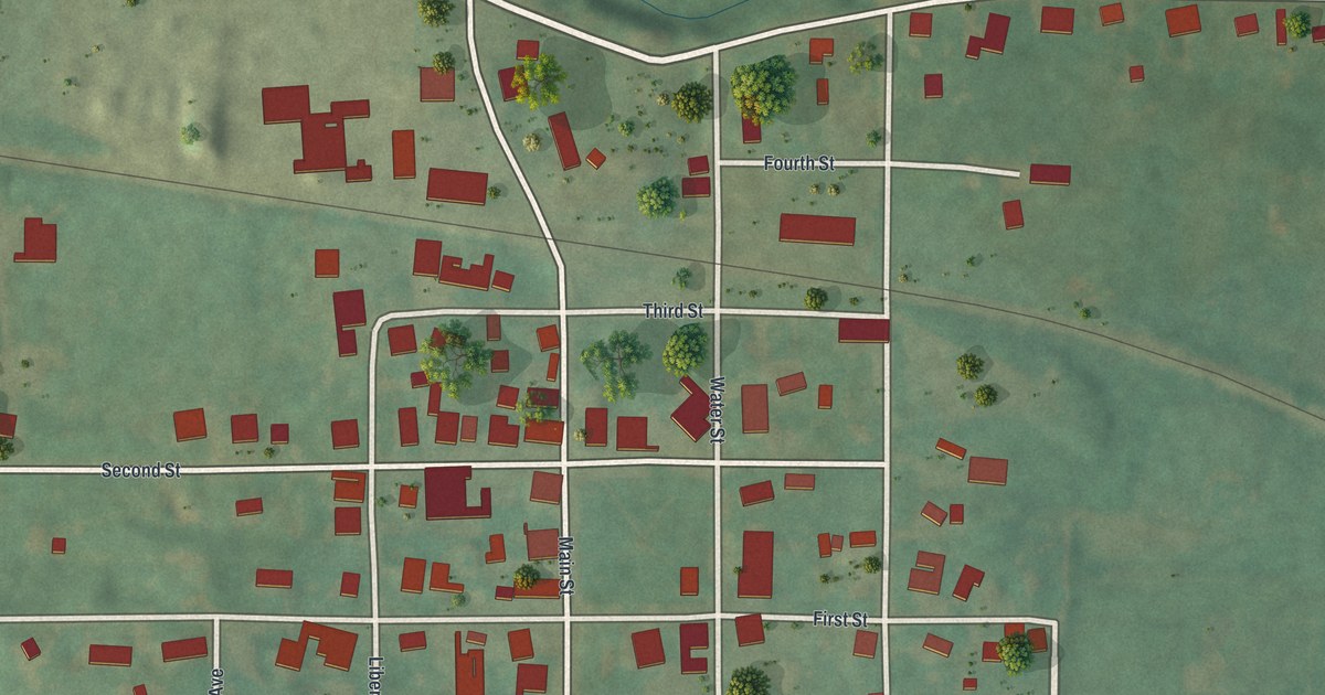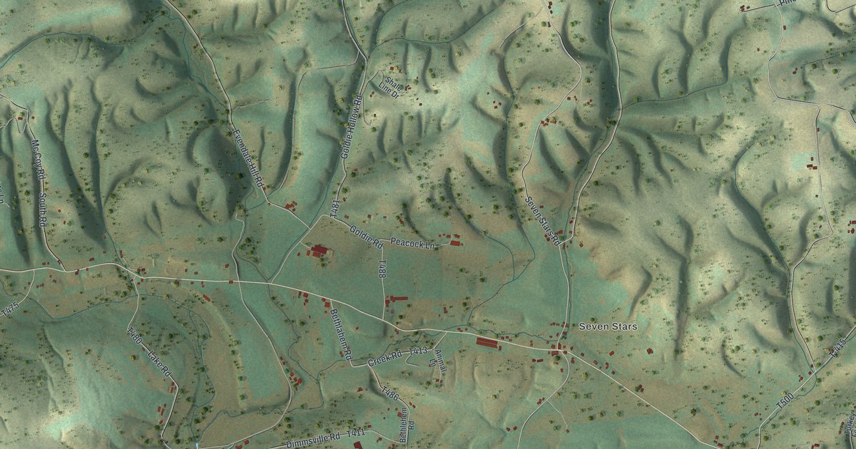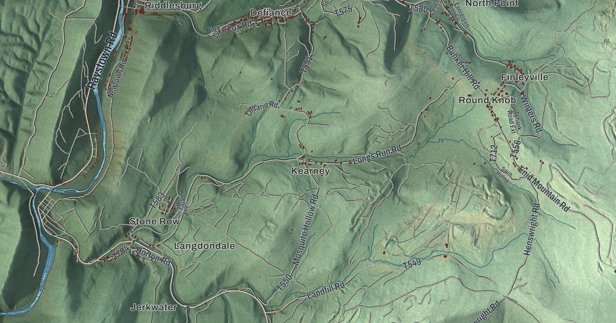
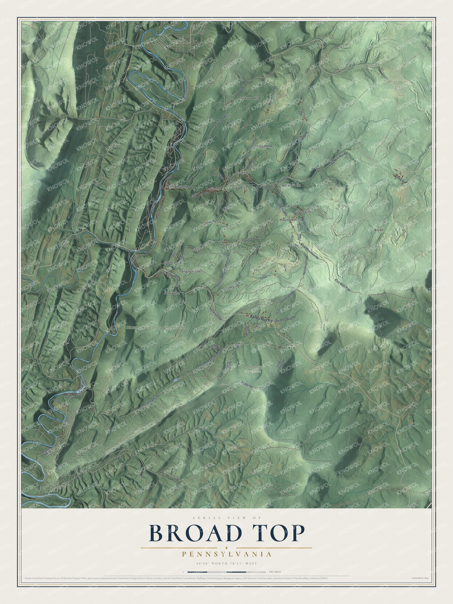
This beautifully detailed map of Broad Top, Pennsylvania was created in 2026 using aerial imagery combined with modern topographical, census, street and landmark data. It’s a one-of-a-kind view of Broad Top that combines accurate data with a vintage aesthetic. The map shows every building in its true location, many of the roads carry their names, and the shaded topographic relief shows the shape of the land.
Explore an aerial view of Broad Top, Pennsylvania
On the map you’ll find Buchanan State Forest, State Game Lands Number 261, Alvan, Coaldale, Defiance, Finleyville, Hickory Hill, Jerkwater, Kearney, Langdondale, North Point, Riddlesburg, and more. If you look closely you can even find your house accurately drawn in its correct location. Zoom in on the preview to look for yours.
Did you know this piece of Broad Top, Pennsylvania history?
From the 1884 History of Bedford, Somerset, and Fulton Counties, Pennsylvania: "The first coal opening on Sandy run was made some sixty years ago on the John Sheyington tract."
Take a closer look at the Broad Top map
Street and place names on the Broad Top, Pennsylvania map
These names are printed on the map of Broad Top, Pennsylvania.
Places: Buchanan State Forest, State Game Lands Number 261, Alvan, Coaldale, Defiance, Finleyville, Hickory Hill, Jerkwater, Kearney, Langdondale, North Point, Riddlesburg, Round Knob and Stone Row.
Streets and roads: Sandy Run Road, Raystown Road, Six Mile Run Road, Broad Street, Bowser Road, Sherman Valley Road, Fisher Road, Shermans Valley Road, Main Street, Fox Road, Enid Mountain Road, Trail 500.
More street names, A to Z
Amanda Way Road, Bowser Farm Road, Broadway Avenue, Bunker Hill Road, Childers Ridge Road, Church Valley Road, Cold Spring Road, Cypher Beach Road, Cypher Road, Dixie Way Road, Dudley Road, Enid Mount Road, Evergreen Lane, Fox Street, Heaton Road, Heckman Road, Henswright Road, Henwright Road, Hickory Hill Road, Hodge Lane, Horton Road, Kay Farm Road, Landfill Road, Leighty Road, London Road, Longs Run Road, Martin Farm Road, Mosquito Hollow Road, Newtown Road, Ontario Road, Rufus Road, Smith Hollow, Spring Street, Tyhank Road Extension, Valley Church Road, Water Street, Winters Road, Wright Boulevard.
See the Broad Top, Pennsylvania map on a wall
The Broad Top map as an 18 x 24 inch print in a black frame.

This beautifully detailed map of Broad Top makes an attractive addition to your office, library, or den, and it can even be used to teach children the geography and history of the area. It also makes a great gift for someone who left Broad Top and still calls it home. When you’re done exploring, click here to get your copy of the Broad Top map.