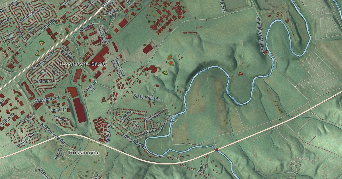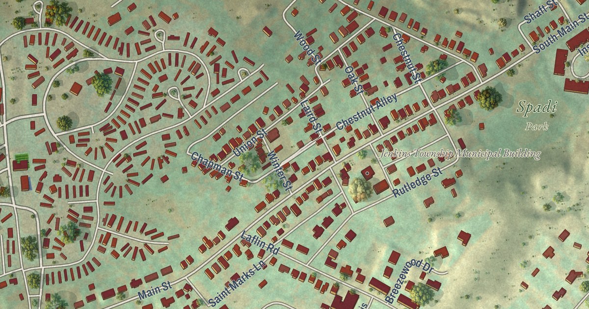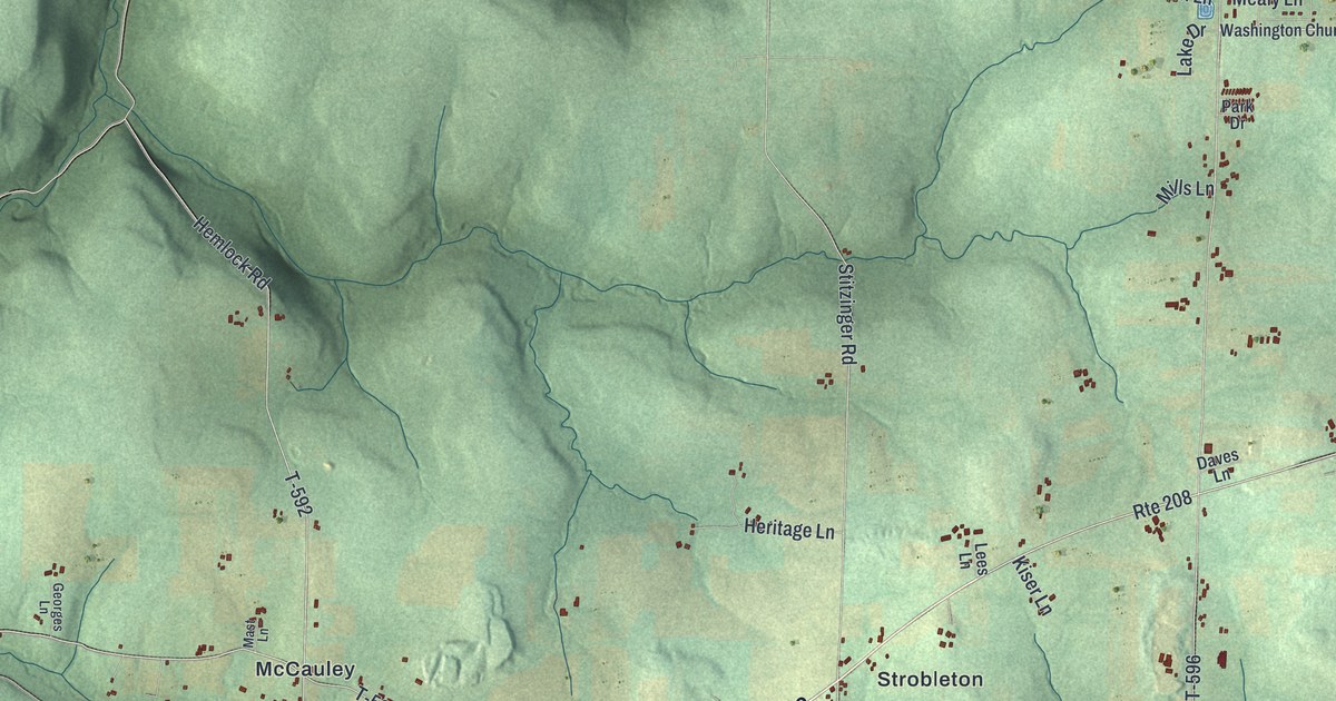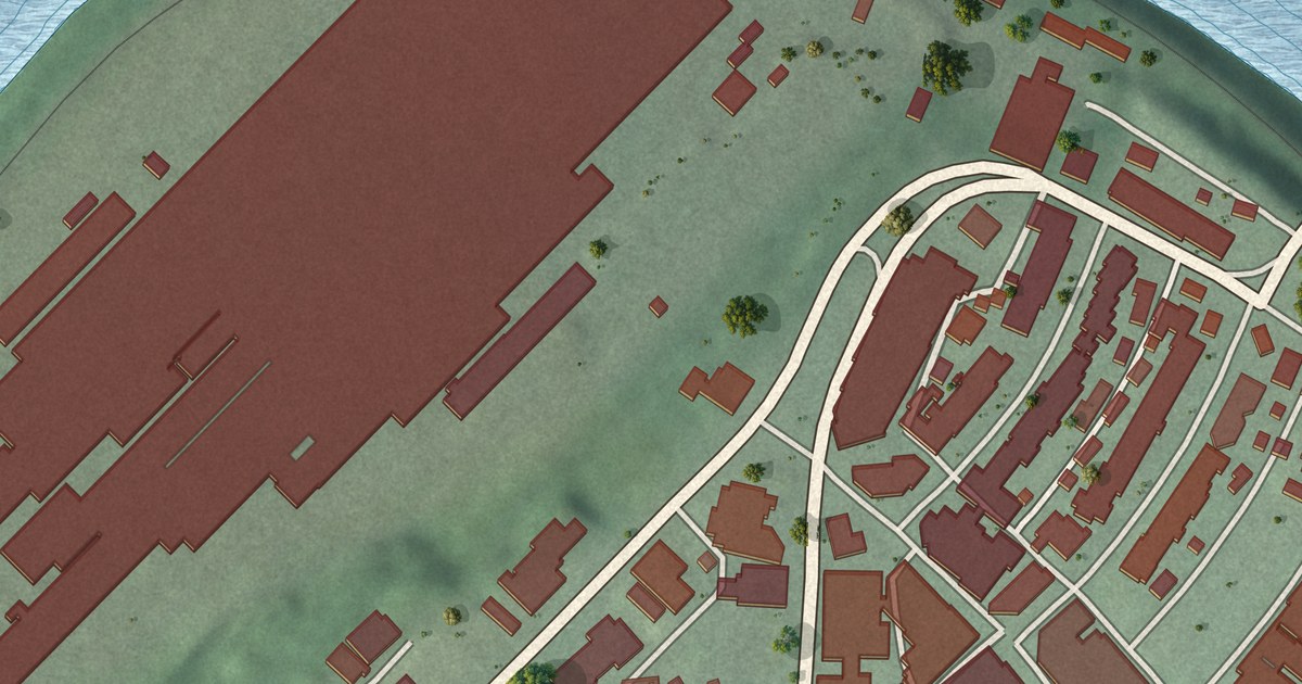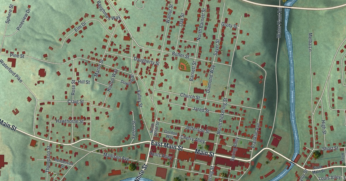
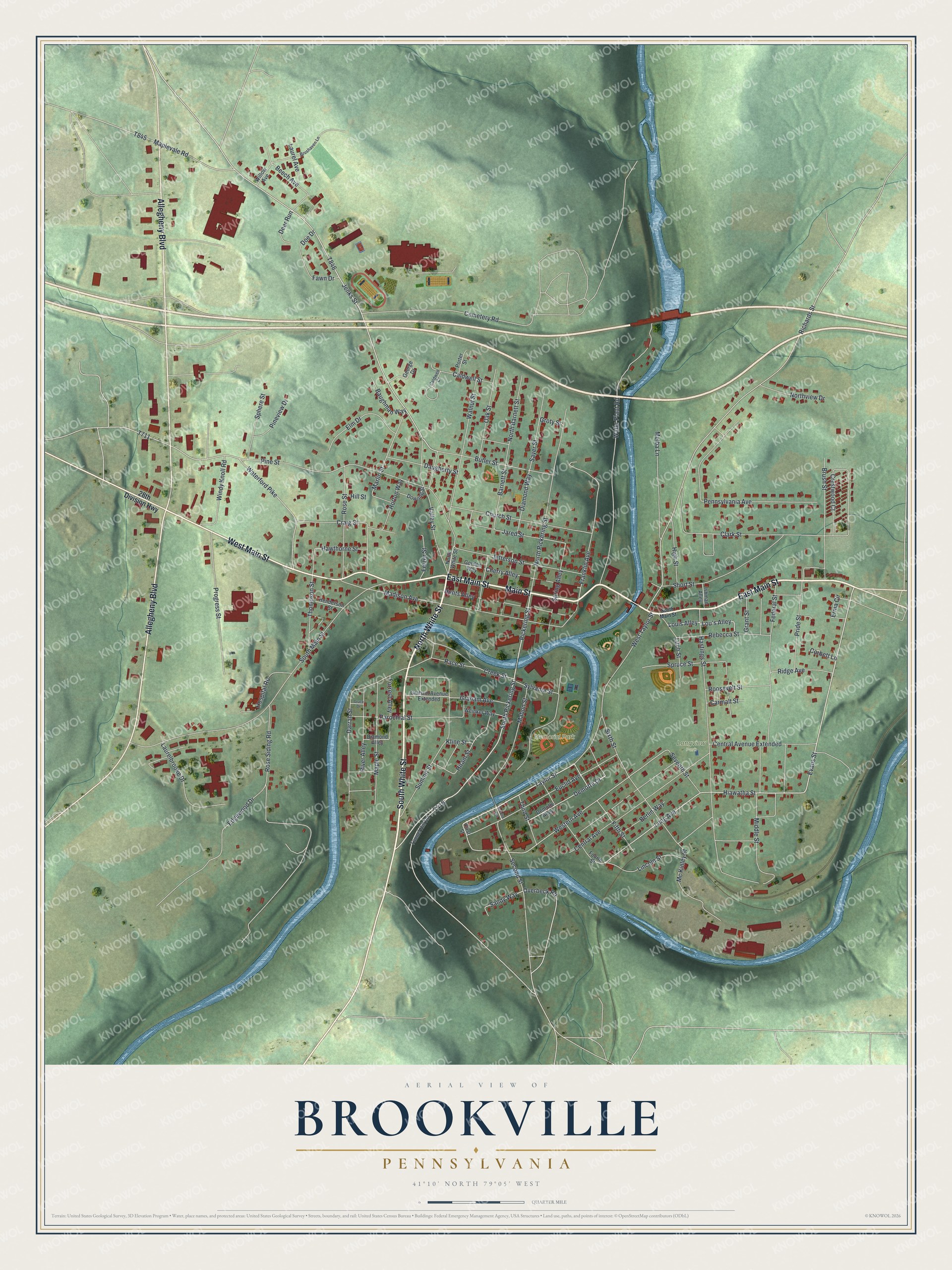
This beautifully detailed map of Brookville, Pennsylvania was created in 2026 using aerial imagery combined with modern topographical, census, street and landmark data. It’s a one-of-a-kind view of Brookville that combines accurate data with a vintage aesthetic. The map shows every building in its true location, many of the roads carry their names, and the shaded topographic relief shows the shape of the land.
Explore an aerial view of Brookville, Pennsylvania
On the map you’ll find Memorial Park and Longview Park, along with East Main Street, South White Street, North White Street, Main Street, West Main Street, Allegheny Boulevard, South Pickering Street, Pickering Street, Evans Street, Hiawatha Street, and more. If you look closely you can even find your house accurately drawn in its correct location. Zoom in on the preview to look for yours.
Did you know this piece of Brookville, Pennsylvania history?
Brookville was chosen as the Jefferson County seat in September 1829, at the spot where Sandy Lick Creek and its North Fork join to form Redbank Creek. The commissioners named it for the many springs and brooks flowing from its hills. When town lots went on sale in June 1830, buyers came from twelve neighboring counties. That’s from the 1888 History of Jefferson County, Pennsylvania.
Take a closer look at the Brookville map
Street and place names on the Brookville, Pennsylvania map
These names are printed on the map of Brookville, Pennsylvania.
Places: Memorial Park and Longview Park.
Streets and roads: East Main Street, South White Street, North White Street, Main Street, West Main Street, Allegheny Boulevard, South Pickering Street, Pickering Street, Evans Street, Hiawatha Street, Taylor Street, Euclid Avenue.
More street names, A to Z
28th Division Highway, Barnett Street, Baughman Way, Beech Avenue, Berlin Way, Brushaven Lane, Brush Street, Butler Street, Caldwell Court, Caldwell Street, Carmalt Street, Cemetery Road, Central Avenue, Central Avenue Extended, Cherry Alley, Church Street, Clark Street, Corbett Lane, Craig Street, Creek Street, Crestwood Court, Darrah Street, Daugherty Street, Deer Run, Demotte Alley, Demotte Drive, Diamond Alley, Diamond Way, Doe Drive, Dowling Street, Edgewood Drive, Elm Drive, Erma Circle, Fawn Drive, Federal Street, Fetzer Street, Fifth Street, First Street, Forrest Alley, Fourth Street, Franklin Avenue, George Drive, Gordon Way, Grace Drive, Graham Avenue, Graham Avenue Extended, Grant Street, Groty Street, Hastings Street, Hawthorne Street, Henderson Street, High Street, Hill Street, Hiram Street, Horton Way, Hospital Road, Hunts Alley, Ishman Alley, Jared Street, Jefferson Street, Jenks Street, Kline Street, Laurel Avenue, Laurelbrooke Drive, Lincoln Street, Litch Street, Long Avenue, Lou's Alley, Louis Alley, Mabon Street, Madison Avenue, Maple Street, Maplevale Road, Marlin Street, Mc Kinley Street, Melba Lane, Middle Street, North Barnett Street, North Pickering Street, Northview Drive, Oak Street, Overbeck Road, Parochial Street, Pennsylvania Avenue, Pine Street, Pineview Drive, Porter Street, Pride Street, Progress Street, Race Street, Rebecca Street, Richards Street, Ridge Avenue, River Alley, Roosevelt Street, Rose Siding Road, Rose Street, Sandy Way, Sayer Street, Second Avenue, Second Street, Seventh Street, Short Street, Sixth Street, South Main Street, Sphere Street, Spring Alley, Spruce Street, Summit Street, Sylvania Street, Third Street, Thompson Street, Tunnel Hill Road, Valley Street, Walnut Street, Waterford Pike, Water Plant Road, Weinker Way, Western Avenue, West Taylor Street, Willow Avenue, Windy Knoll Road.
See the Brookville, Pennsylvania map on a wall
The Brookville map as an 18 x 24 inch print in a black frame.

This beautifully detailed map of Brookville makes an attractive addition to your office, library, or den, and it can even be used to teach children the geography and history of the area. It also makes a great gift for anyone with Brookville roots. When you’re done exploring, click here to get your copy of the Brookville map.