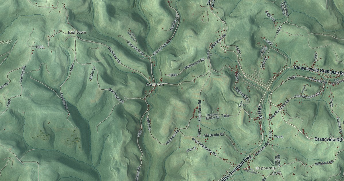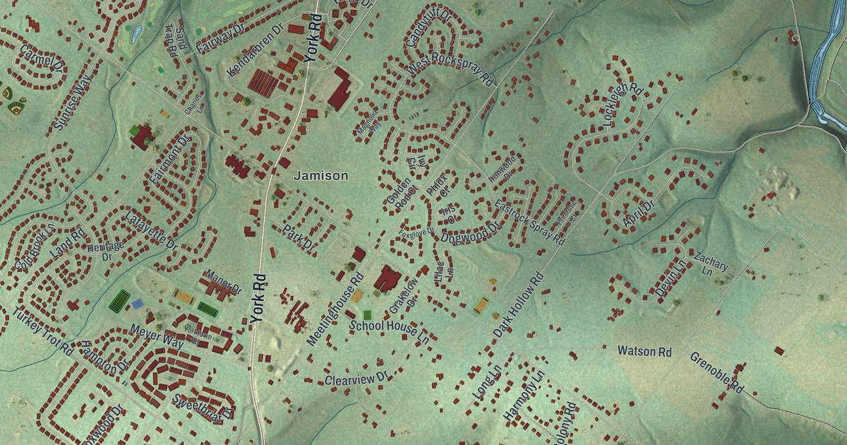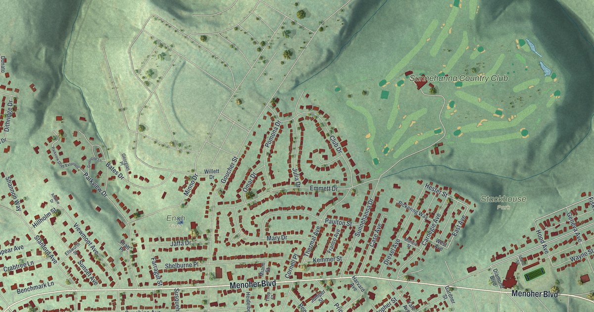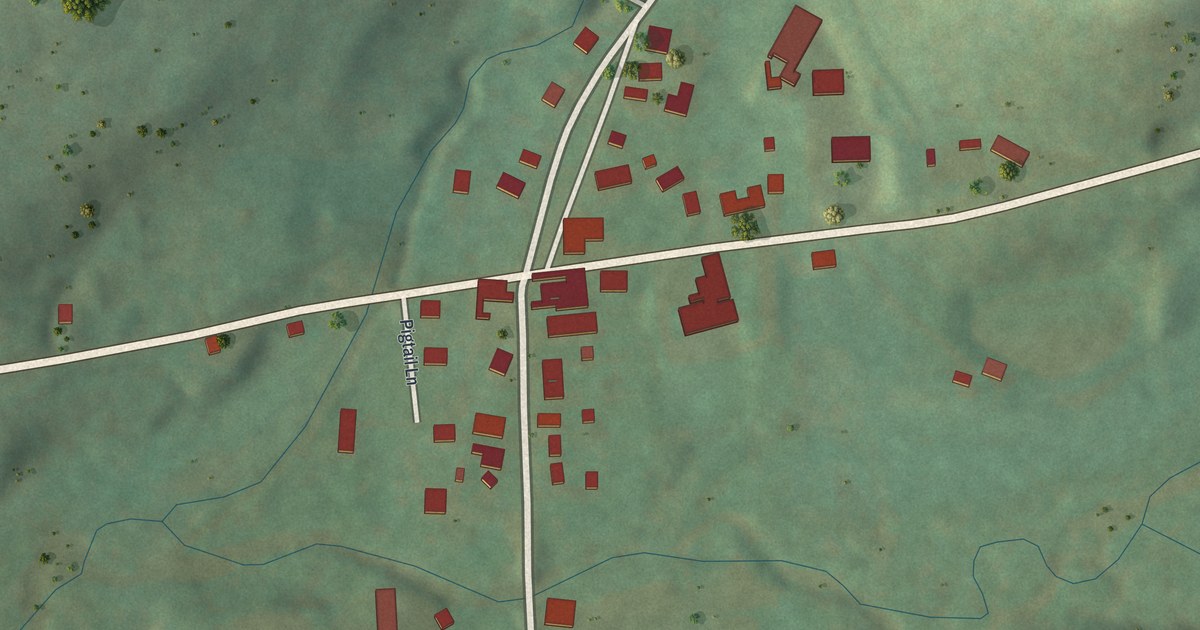
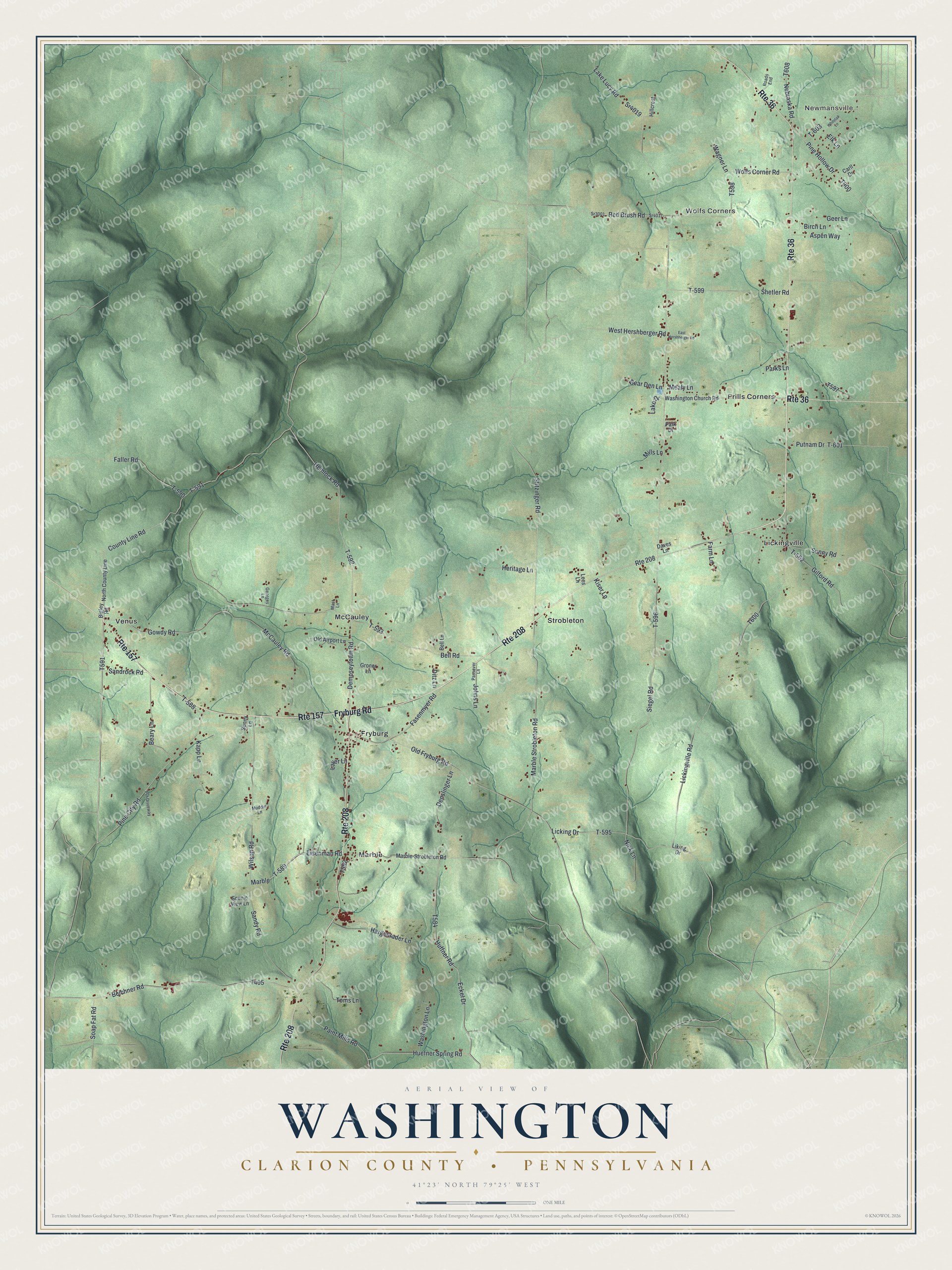
This beautifully detailed map of Washington, Clarion County, Pennsylvania was created in 2026 using aerial imagery combined with modern topographical, census, street and landmark data. It’s a one-of-a-kind view of Washington that combines accurate data with a vintage aesthetic. The map shows every building in its true location, many of the roads carry their names, and the shaded topographic relief shows the shape of the land.
Explore an aerial view of Washington, Clarion County, Pennsylvania
On the map you’ll find Newmansville, Wolfs Corners, Frills Corners, Fryburg, Lickingville, Marble, McCauley, Strobleton, and Venus, along with Fryburg Road, Huefner Spring Road, Gowdy Road, and more. If you look closely you can even find your house accurately drawn in its correct location. Zoom in on the preview to look for yours.
Did you know this piece of Washington, Clarion County, Pennsylvania history?
From Pa-roots.com: "Jacob Lilligh started from Lancaster county with Frederick Rickenbrode, but came through Westmoreland county, rented a farm and sojourned there two years, and arrived at Kapp’s in 1822 in a covered wagon, afterwards going through some hard times, on one occasion not having much of anything to eat except lettuce for four weeks."
Take a closer look at the Washington, Clarion County map
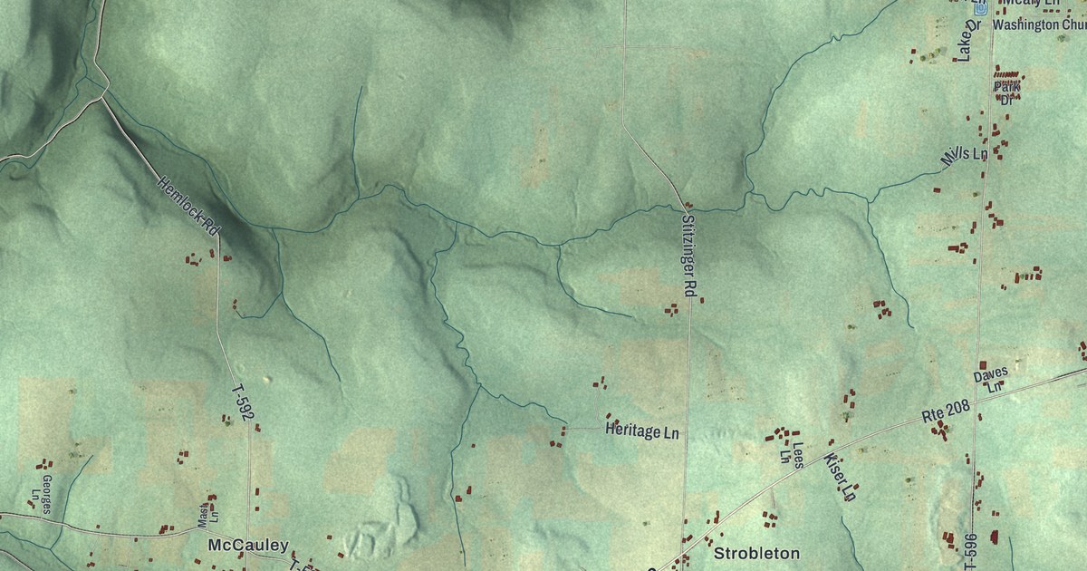
Street and place names on the Washington, Clarion County, Pennsylvania map
These names are printed on the map of Washington, Clarion County, Pennsylvania.
Places: Newmansville, Wolfs Corners, Frills Corners, Fryburg, Lickingville, Marble, McCauley, Strobleton and Venus.
Streets and roads: Route 208, Route 157, Fryburg Road, Route 36, Huefner Spring Road, Gowdy Road, Dempseytown Road, Eckel Drive, County Line Road, Marble Strobleton Road, Eisenman Road, T-589.
More street names, A to Z
Aspen Way, Bear Den Lane, Beary Lane, Beichner Road, Bell Lane, Bell Road, Bigley Road, Birch Lane, Carll Drive, Daves Lane, Denslinger Lane, Ditz Lane, East Hershberger Road, Elk Lane, Faller Road, Farm Lane, Fasenmyer Road, Geer Lane, Georges Lane, Gilford Road, Groner Lane, Hargenrader Lane, Hemlock Road, Heritage Lane, Hillcrest, Huffner Road, Johns Lane, Kapp Lane, Kiser Lane, Lake Drive, Lake Lucy Road, Laver Lane, Lees Lane, Licking Drive, Lickingville Road, Liking Drive, Marble-Strobleton Road, Mast Lane, McCauley Road, Mealy Lane, Mills Lane, Muddin Lane, Nebraska Road, Nick Lane, North County Line, Old Airport Lane, Old Fryburg Road, Paint Mills Road, Park Drive, Parks Lane, Passaver Lane, Pine City Road, Pine Hollow Drive, Putnam Drive, Pvt Driveway, Red Brush Road, Roads End, Sandrock Road, Sandy Road, Scenic View Lane, Shetler Road, Siegel Road, Soap Fat Road, Sonny Lane, Sr3001, Sr4017, Sr4019, Stitzinger Road, Sunny Road, T-562, T-588, T-590, T-591, T-592, T-593, T-595, T-596, T-599, T-601, T-603, Toms Lane, Wagner Lane, Washington Church Road, Washington Lane, West Hershberger Road, Whitetail Lane, Wilson Road, Wolfs Corner Road.
See the Washington, Clarion County, Pennsylvania map on a wall
The Washington, Clarion County map as an 18 x 24 inch print in a black frame.

This beautifully detailed map of Washington, Clarion County makes an attractive addition to your office, library, or den, and it can even be used to teach children the geography and history of the area. It also makes a great gift for someone who left Washington and still calls it home. When you’re done exploring, click here to get your copy of the Washington, Clarion County map.