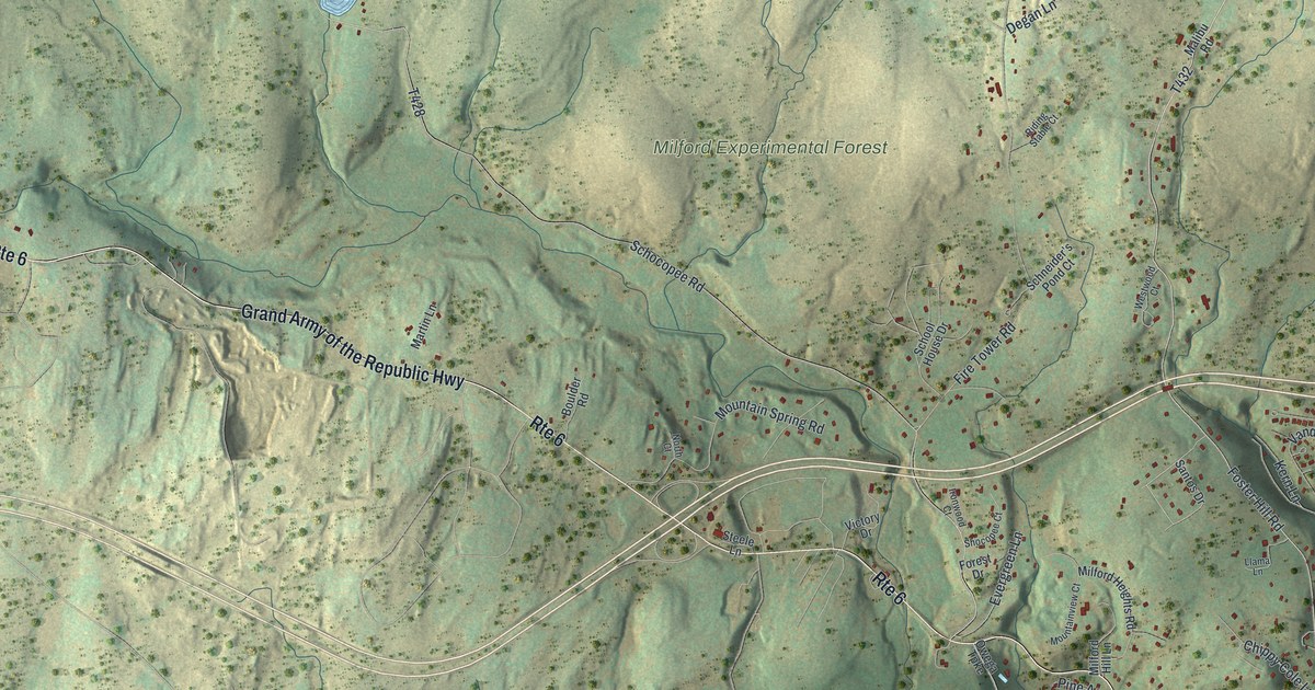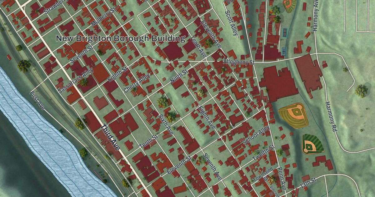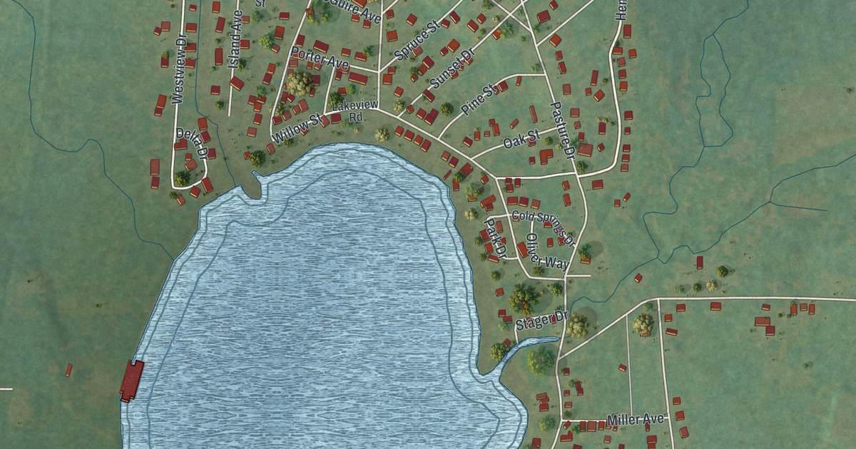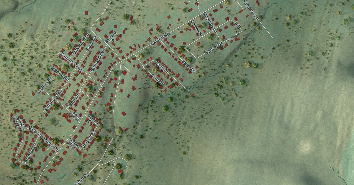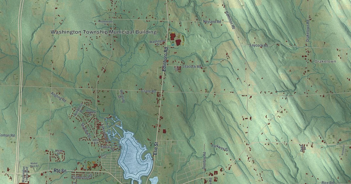
This beautifully detailed map of Washington, Erie County, Pennsylvania was created in 2026 using aerial imagery combined with modern topographical, census, street and landmark data. It’s a one-of-a-kind view of Washington that combines accurate data with a vintage aesthetic. The map shows every building in its true location, many of the roads carry their names, and the shaded topographic relief shows the shape of the land.
Explore an aerial view of Washington, Erie County, Pennsylvania
On the map you’ll find Washington Township Municipal Building, McLallen Corners, McLane, and Draketown, along with Sharp Road, Edinboro Road, Cambridge Springs Road, Erie Street, Edinboro Plank Road, Hill Road, Old Plank Road, Lewis Road, and more. If you look closely you can even find your house accurately drawn in its correct location. Zoom in on the preview to look for yours.
Did you know this piece of Washington, Erie County, Pennsylvania history?
From the 1884 History of Erie County, Pennsylvania: "Augustus Culbertson was the first white male child born in this township, a son of William Culbertson, who came here in 1797, who was the first settler, and built the first grist and saw mill in this township."
Take a closer look at the Washington, Erie County map
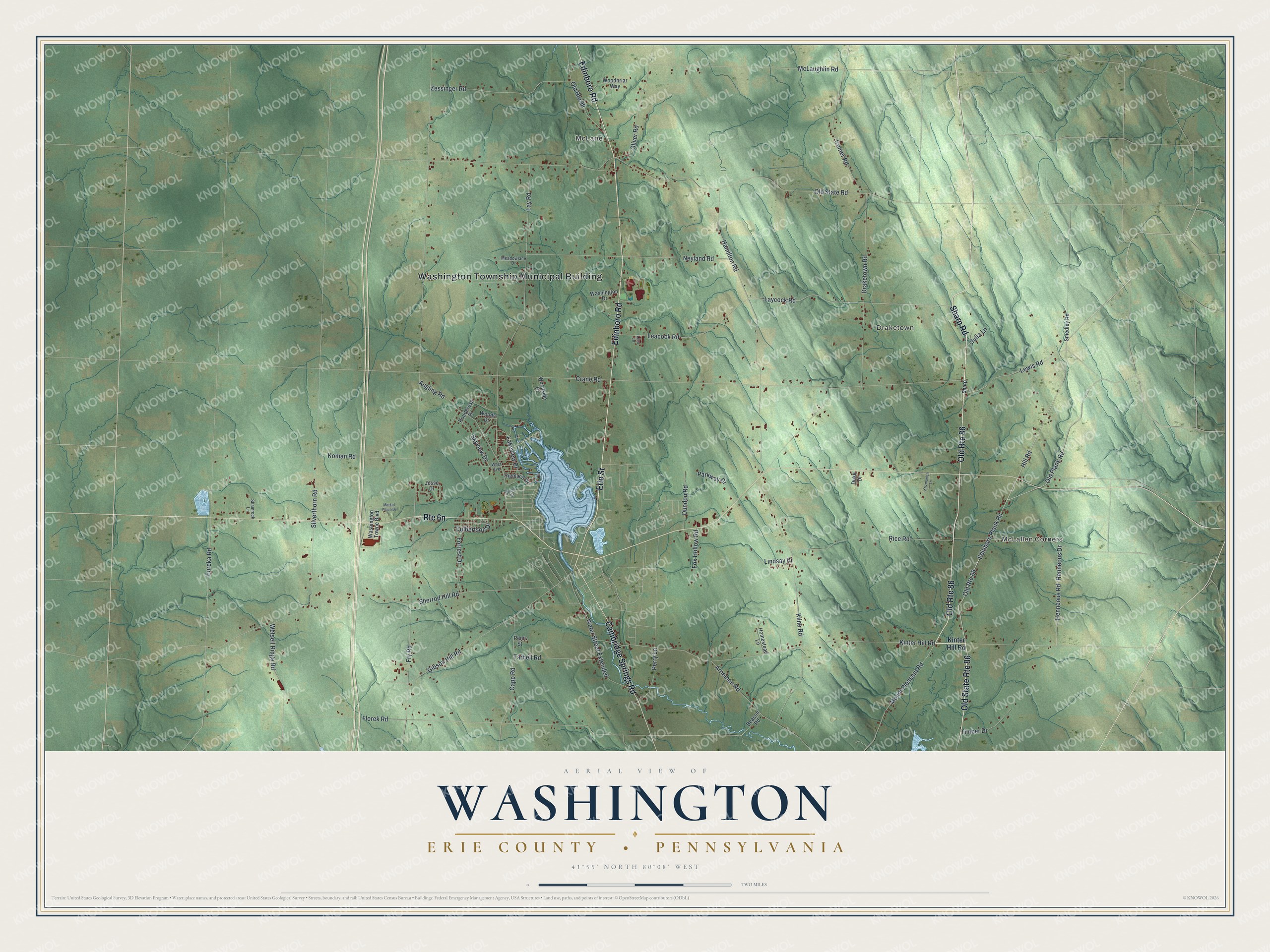
Street and place names on the Washington, Erie County, Pennsylvania map
These names are printed on the map of Washington, Erie County, Pennsylvania.
Places: Washington Township Municipal Building, McLallen Corners, McLane and Draketown.
Streets and roads: Old Route 86, Old State Route 86, Sharp Road, Edinboro Road, Cambridge Springs Road, Erie Street, Edinboro Plank Road, Hill Road, Old Plank Road, Lewis Road, Rice Road, Mount Pleasant Road.
More street names, A to Z
Angling Road, Arneman Road, Beason Road, Capp Road, Cherry Street, Comer Road, Crane Road, Culbertson Drive, Draketown Road, Duke Drive, Dundon Road, Eureka Road, Florek Road, Forrest Drive, Fox Hollow Road, Fry Road, Gibson Hill Road, Hamilton Road, Henneous Drive, Henneous Road, Highland Drive, Homestead Lane, Jesse Drive, Julia Lane, Kinter Hill Road, Kline Road, Koman Road, Krizmanich Lane, Lakeview Drive, Laycock Road, Lay Road, Leacock Road, Lindsay Drive, Lisa Lane, Market Place Drive, McLaughlin Road, Meadowlane Drive, Neyland Road, Old Route 99, Old State Road, Oliver Road, Parkway Drive, Penn Street, Perry Lane, Ponderosa Drive, Shamrock Lane, Sharp, Sherrod Hill Road, Silverthorn Road, Skyview Drive, Smedley Road, Tarbell Road, Timber Drive, Washington Drive, Washington Towne Boulevard, Water Street Extended, West Avenue, Wetsell Ridge Road, Woodbriar Way, Woods Drive, Woodside Drive, Zessinger Road.
See the Washington, Erie County, Pennsylvania map on a wall
The Washington, Erie County map as an 18 x 24 inch print in a black frame.

This beautifully detailed map of Washington, Erie County makes an attractive addition to your office, library, or den, and it can even be used to teach children the geography and history of the area. It also makes a great gift for anyone who grew up in Washington or moved away. When you’re done exploring, click here to get your copy of the Washington, Erie County map.