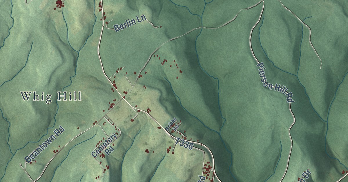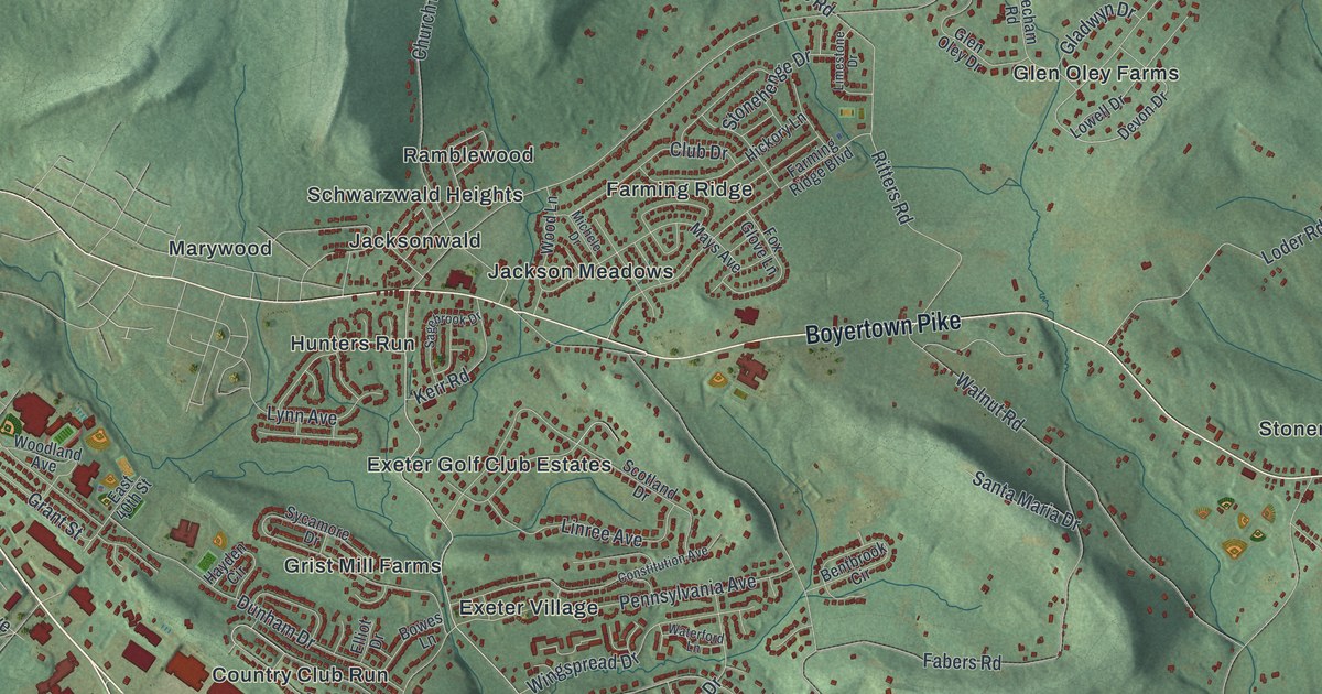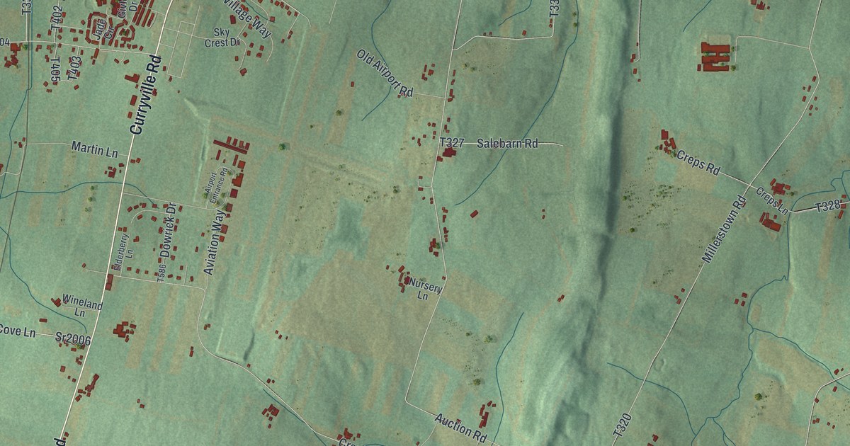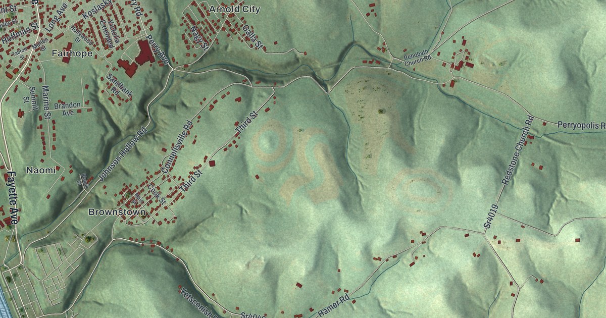
This beautifully detailed map of Washington, Fayette County, Pennsylvania was created in 2026 using aerial imagery combined with modern topographical, census, street and landmark data. It’s a one-of-a-kind view of Washington that combines accurate data with a vintage aesthetic. The map shows every building in its true location, many of the roads carry their names, and the shaded topographic relief shows the shape of the land.
Explore an aerial view of Washington, Fayette County, Pennsylvania
On the map you’ll find Lynnwood, Arnold City, Brownstown, Fairhope, Gillespie, Landon Station, and Naomi, along with Fayette Avenue, Naomi Road, Fayette City Road, Gillespie Hollow Road, Perry Road, and more. If you look closely you can even find your house accurately drawn in its correct location. Zoom in on the preview to look for yours.
Did you know this piece of Washington, Fayette County, Pennsylvania history?
Colonel Edward Cook settled in Washington Township on a grant of 3,000 acres. In 1772 he began building a house of limestone quarried on his own land. Finished in 1776, it was the earliest stone building on the western side of the Allegheny Mountains. The house still stands. Cook also served in the Provincial Congress in Philadelphia in June 1776.
Take a closer look at the Washington, Fayette County map
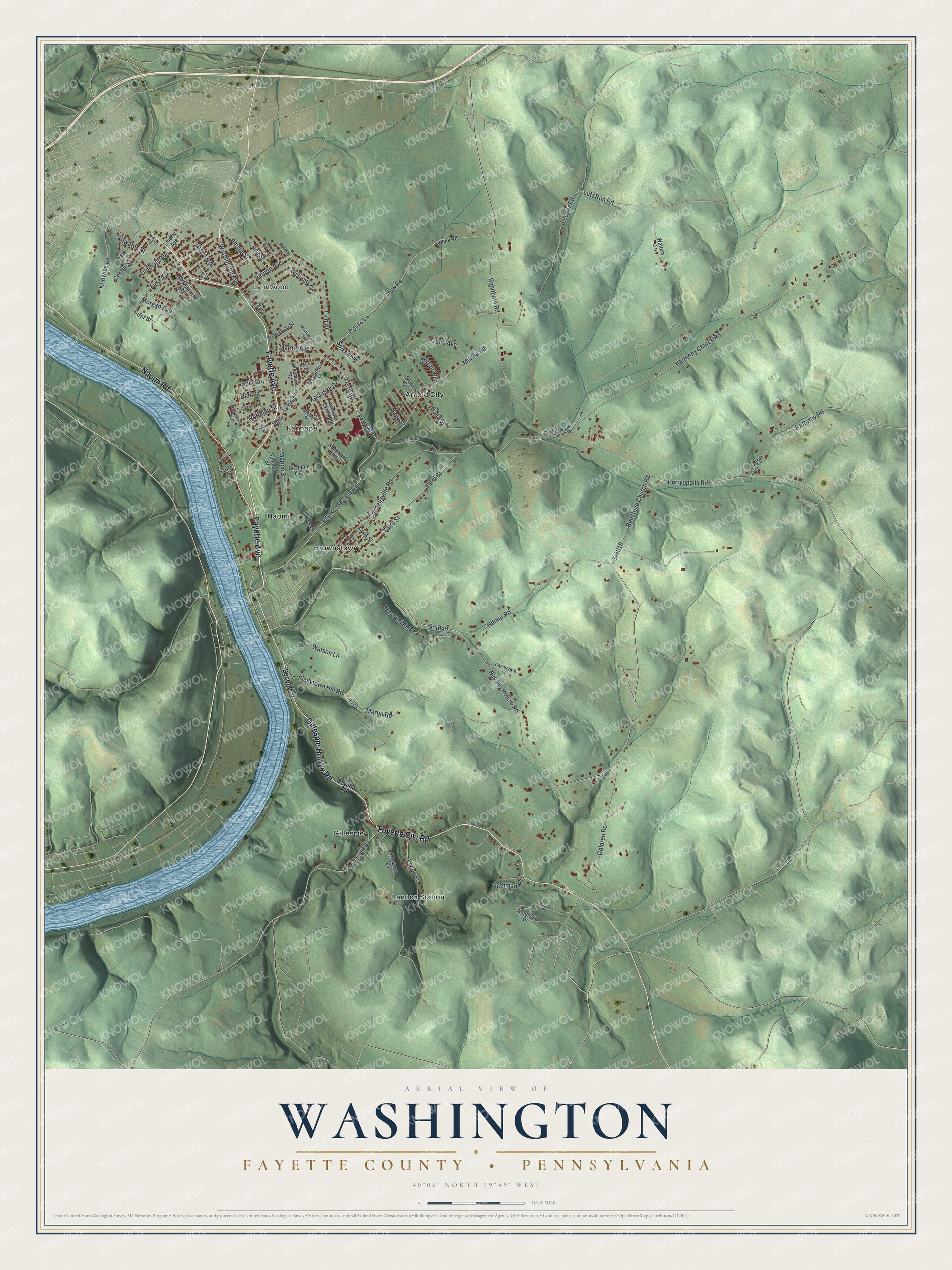
Street and place names on the Washington, Fayette County, Pennsylvania map
These names are printed on the map of Washington, Fayette County, Pennsylvania.
Places: Lynnwood, Arnold City, Brownstown, Fairhope, Gillespie, Landon Station and Naomi.
Streets and roads: Fayette Avenue, Naomi Road, Fayette City Road, Gillespie Hollow Road, Perry Road, Johnson Hollow Road, Perry Avenue, Long Avenue, Sr4040, Cook Road, Cooks Lane, Navaho Hollow Road.
More street names, A to Z
Ada Street, Alice Street, Amelia Street, Blatnik Street, Brandon Avenue, Brown Street, Brownsville Road, Cannizzaro Lane, Center Street, Charles Street, Coldren Road, Connellsville Road, Conway Street, Cooks Road, Cook Street, Cozy Lane, Delmont Avenue, Dent Street, Dinsmore Street, Dull Street, Edith Street, Edwards Street, Elwell Street, Fayette Road, First Avenue, First Street, Gahela Street, Galla Street, Grata Street, Grove Avenue, Hamer Road, Harmony Church Road, High Street, Hoffman Street, Hollywood Street, Knowles Lane, Kosanko Lane, Koslasky Drive, Krolik Avenue, Leeper Road, Liberty Avenue, Lincoln Road, Linn Drive, Lutz Run Road, Madison Drive, Main Street, Marine Street, Marion Avenue, Martin Road, Marton Villa, McClintock Avenue, Mikula Road, Monessen Street, Morgan Avenue, Mullen Street, Nagy Street, Naomi Street, Otto Street, Paradise Avenue, Park Avenue, Perryopolis Road, Rathway Road, Redstone Church Road, Rehobath Church Road, Rehobath Road, Sandbank Road, Scalabrini Street, Second Street, Sethman Road, Sicilytown Hill Road, Spiker Avenue, Sr4019, Summit Street, Tabron Street, Third Street, Vernon Avenue, Victoria Extended, Walters Lane, Washington Avenue, Watson Lane, Wilkenson Street, Williams Drive, Yetsconish Road.
See the Washington, Fayette County, Pennsylvania map on a wall
The Washington, Fayette County map as an 18 x 24 inch print in a black frame.

This beautifully detailed map of Washington, Fayette County makes an attractive addition to your office, library, or den, and it can even be used to teach children the geography and history of the area. It also makes a great gift for anyone who grew up in Washington or moved away. When you’re done exploring, click here to get your copy of the Washington, Fayette County map.