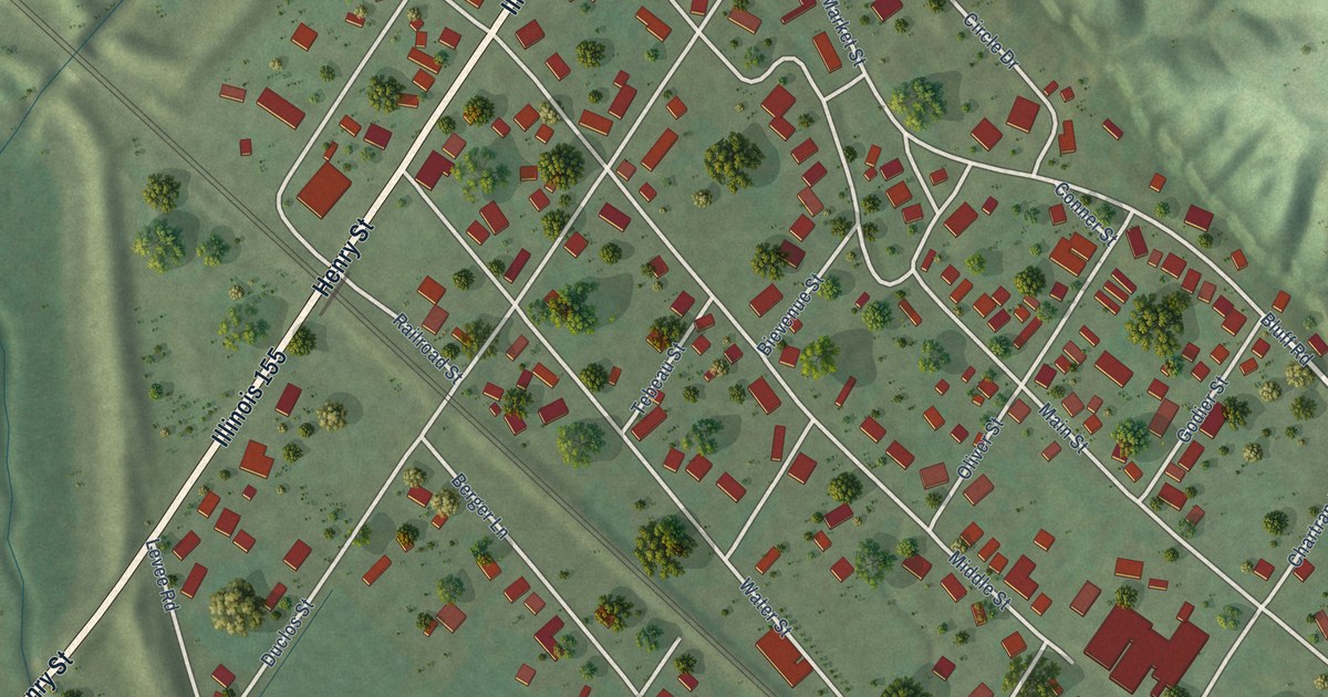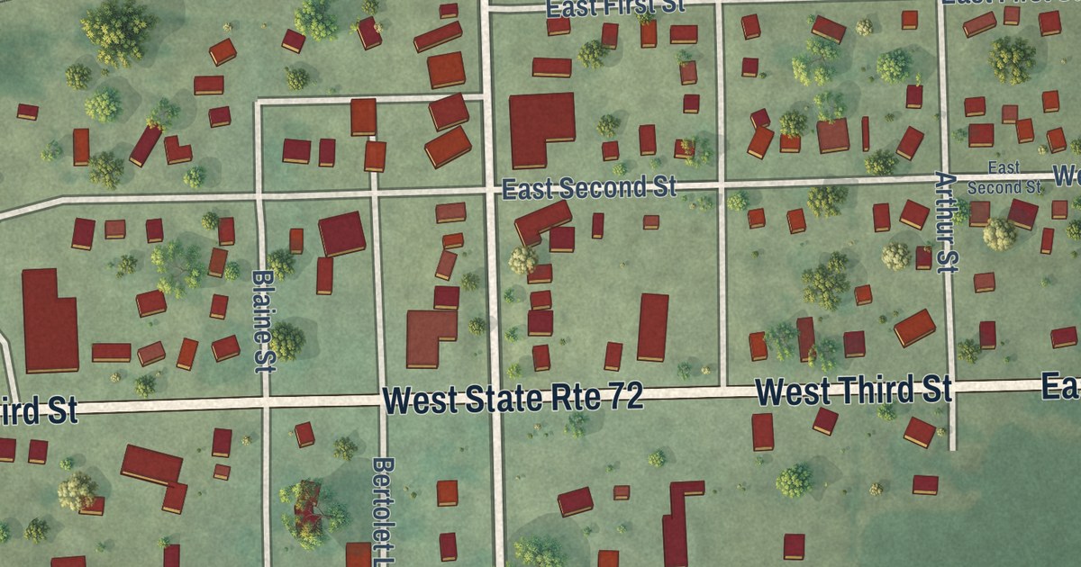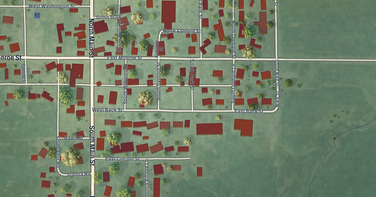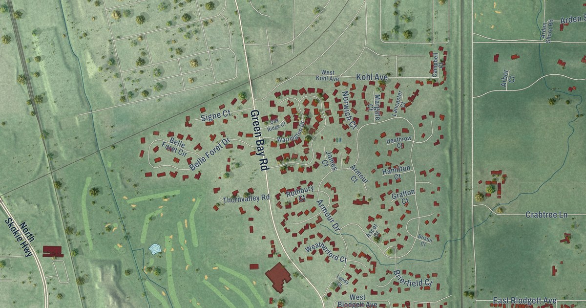
This beautifully detailed map of Lake Bluff, Illinois was created in 2026 using aerial imagery combined with modern topographical, census, street and landmark data. It’s a one-of-a-kind view of Lake Bluff that combines accurate data with a vintage aesthetic. The map shows every building in its true location, many of the roads carry their names, and the shaded topographic relief shows the shape of the land.
Explore an aerial view of Lake Bluff, Illinois
On the map you’ll find Lake Bluff Village Hall, Artesian Park, Creamery Corners, and Moran Corners, along with South Skokie Highway, Rockland Road, Green Bay Road, Waukegan Road, West Scranton Avenue, Wimbledon Court, East Sheridan Road, East Center Avenue, and more. If you look closely you can even find your house accurately drawn in its correct location. Zoom in on the preview to look for yours.
Did you know this piece of Lake Bluff, Illinois history?
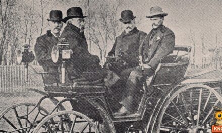
From the Past and Present of Lake County: "Lake Bluff, otherwise known as the Lake Bluff Camp Meeting enterprise, is situated in this township, on Lake Michigan, a short distance north of Lake Forest, east of Rockland Station, on the Northwestern Railroad. A plat of this place was laid out and completed February 24, 1877."
Take a closer look at the Lake Bluff map
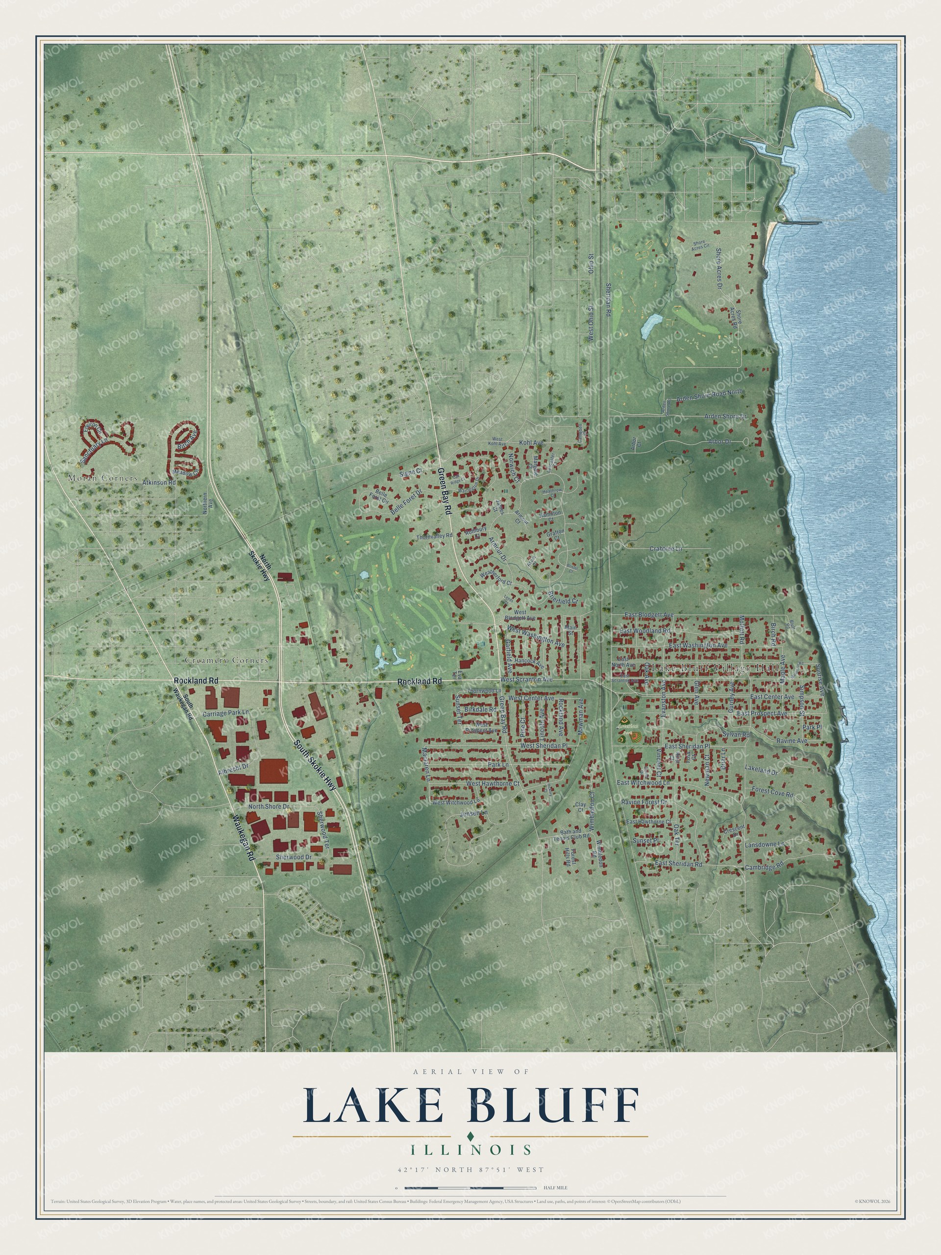
Street and place names on the Lake Bluff, Illinois map
These names are printed on the map of Lake Bluff, Illinois.
Places: Lake Bluff Village Hall, Artesian Park, Creamery Corners and Moran Corners.
Streets and roads: South Skokie Highway, Rockland Road, Green Bay Road, Waukegan Road, West Scranton Avenue, Wimbledon Court, East Sheridan Road, East Center Avenue, Sheridan Road, Sherwood Terrace, West Washington Avenue, Maclaren Lane.
More street names, A to Z
Albrecht Drive, Arbor Court, Arbor Drive, Arden Shore Drive, Arden Shore Road, Arden Shore Road North, Armour Court, Armour Drive, Ascot Court, Atkinson Road, Bath and Tennis Club Road, Belle Foret Circle, Belle Foret Drive, Birch Avenue, Birch Road, Birkdale Road, Bluff Road, Briar Lane, Brierfield Court, Bristol Court, Cambridge Road, Campbell Court, Carriage Park Lane, Circle Drive, Clay Court, Crabtree Lane, Crescent Drive, East Blodgett Avenue, East Hawthorne Court, East North Avenue, East Prospect Avenue, East Scranton Avenue, East Sheridan Place, East Washington Avenue, East Witchwood Lane, East Woodland Road, Environ Circle, Evanston Avenue, Eva Terrace, Forest Cove Road, Forest Hills Road, Foss Court, Garfield Avenue, Glen Avenue, Grafton Court, Gurney Avenue, Hamilton Court, Hancock Avenue, Heathrow Court, Hickory Court, Hirst Court, James Court, Jensen Lane, Kohl Avenue, Lakeland Drive, Lancaster Court, Lansdowne Lane, Leeds Court, Lincoln Avenue, Main Street, Maple Avenue, Margate Court, Mawman Avenue, Meadow Circle, Moffett Road, Mountain Road, Newman Court, Northern Avenue, North Shore Drive, North Skokie Highway, Norwich Court, Oak Avenue, Oak Ridge Court, Oak Terrace, Ohio Street, Park Lane, Park Place, Pine Court, Ravine Avenue, Ravine Forest Drive, Rockland Avenue, Rothbury Court, Sanctuary Lane, Sherwood Drive, Shore Acres Circle, Shore Acres Drive, Shore Acres Road, Signe Court, Simpson Street, South Waukegan Road, Sunrise Avenue, Sunset Place, Sunset Terrace, Sylvan Road, Thornvalley Road, Thornwood Lane, Vincent Court, Warrington Drive, Weatherford Court, West Blodgett Avenue, West Center Avenue, West Hawthorne Court, West Kohl Avenue, West Ohio Street, West Prospect Avenue, West Sheridan Place, West Witchwood Lane, Wimbledon Road.
See the Lake Bluff, Illinois map on a wall
The Lake Bluff map as an 18 x 24 inch print in a black frame.

This beautifully detailed map of Lake Bluff makes an attractive addition to your office, library, or den, and it can even be used to teach children the geography and history of the area. It also makes a great gift for anyone who grew up in Lake Bluff or moved away. When you’re done exploring, click here to get your copy of the Lake Bluff map.