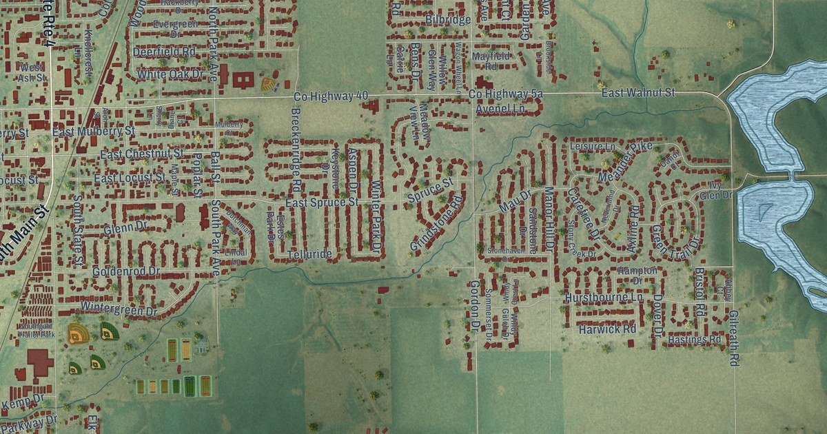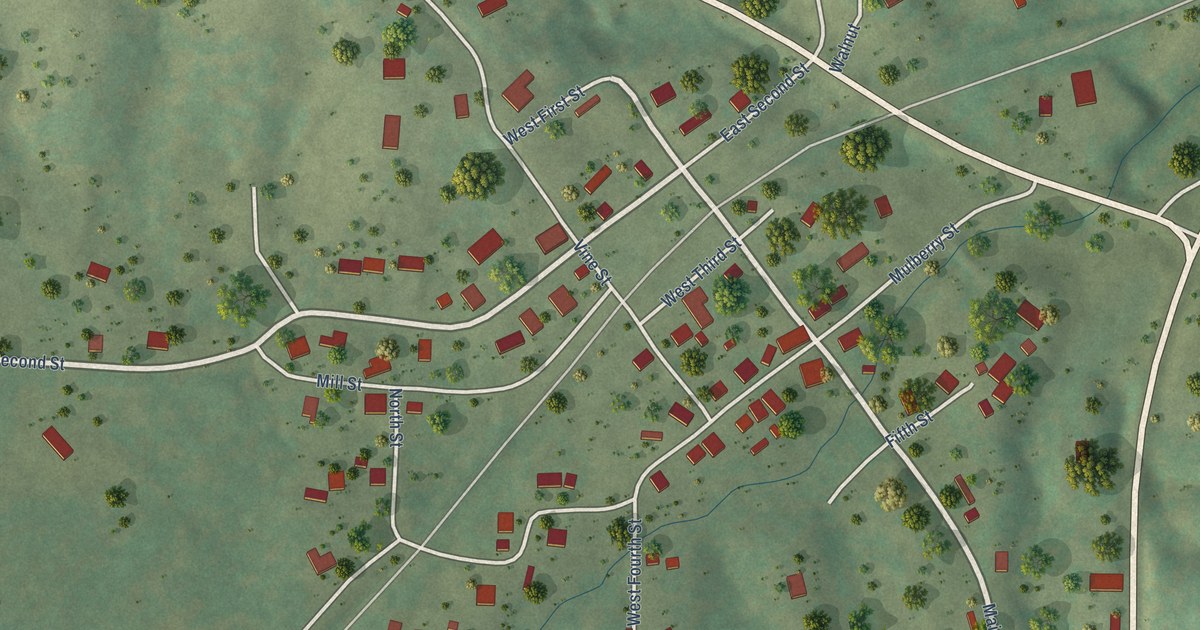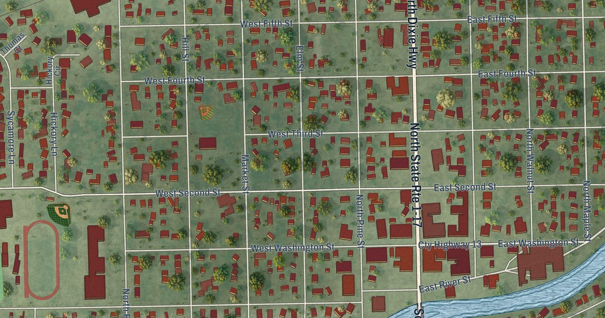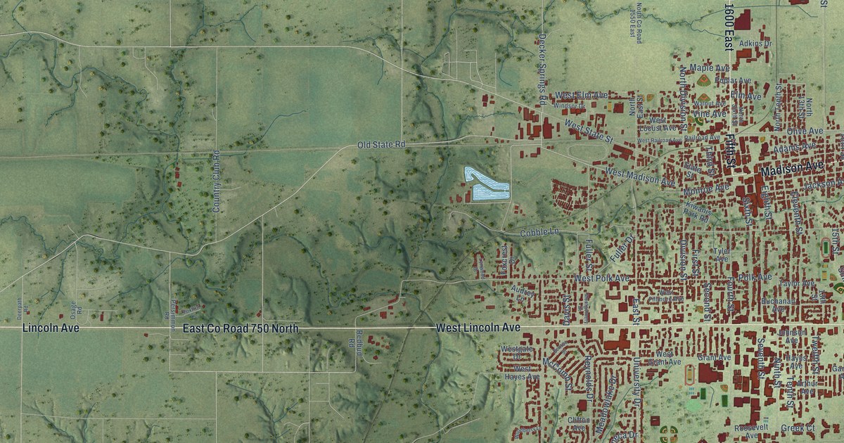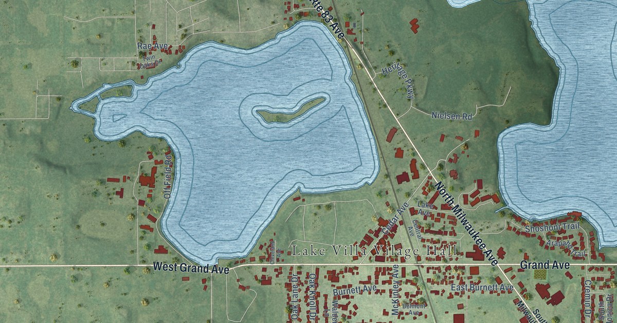
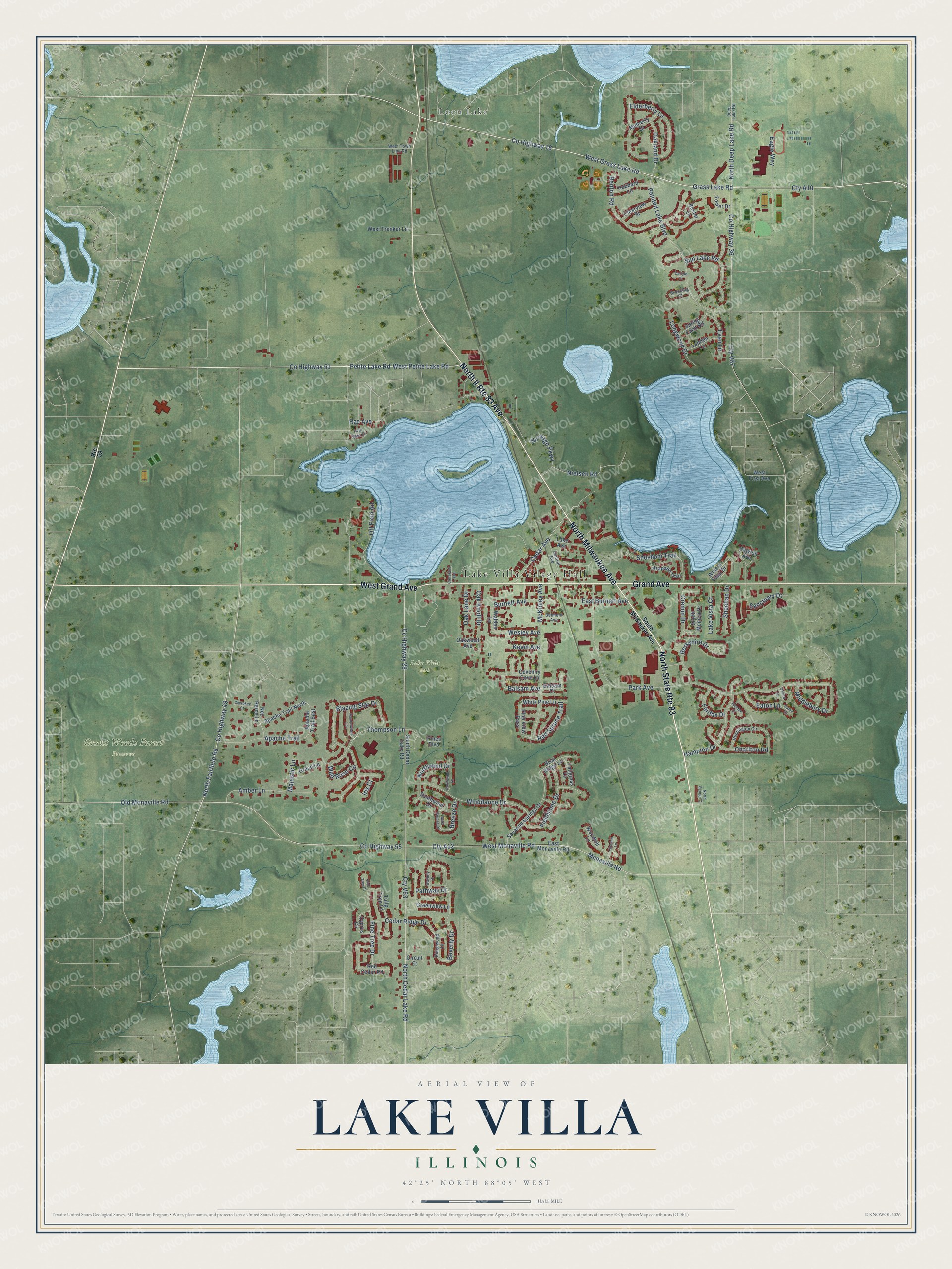
This beautifully detailed map of Lake Villa, Illinois was created in 2026 using aerial imagery combined with modern topographical, census, street and landmark data. It's a modern aerial view of Lake Villa in Lake County, Illinois, that combines modern data with a vintage aesthetic. The roads feature printed names, and if you look closely you can find your exact house accurately shown in its correct location.
Explore an aerial view of Lake Villa, Illinois
On this map you'll find Lake Villa Vilage Hall, Grant Woods Forest Preserve, Lake Villa Park, Loon Lake, West Grand Avenue, Grand Avenue, North Milwaukee Avenue, Cty A10, West Grass Lake Road, Co Highway 18, Petite Lake Road, Cty A12, and more. Each red shape is a building, so zoom in on the preview and look for yours.
Lake Villa is a village in Lake County. The Census Bureau counted 8,741 people here in 2020. The map prints the town name in its title panel, with the coordinates below it.
Take a closer look at the Lake Villa map
Names on this map
These names are printed on this map.
Places: Lake Villa Vilage Hall, Grant Woods Forest Preserve, Lake Villa Park and Loon Lake.
Streets and roads: West Grand Avenue, Grand Avenue, North Il Route 83 Avenue, North State Route 83, North Milwaukee Avenue, Cty A10, West Grass Lake Road, County Highway 18, Petite Lake Road, Cty A12, County Highway 51, West Petite Lake Road.
More street names, A to Z
Amber Lane, Apache Trail, Apache Trail East, Apache Trail North, Arapaho Trail, Balsam Avenue, Balsam Court, Baxter Lane, Belmont Avenue, Benton Road, Berkshire Drive, Beverly Drive, Blazing Star Drive, Breeze Drive, Briar Ridge Lane, Brooking Court, Burnett Avenue, Carlyle Court, Cedar Avenue, Cedar Ridge Drive, Central Avenue, Charlton Road, Cherokee Court, Circuit Court, Clayton Avenue, Clearview Street, Cleveland Avenue, County Highway 28, County Highway 36, County Highway 49, County Highway 55, Coventry Cove Lane, Cremin Drive, Cty V63, Cty V67, Cyprus Circle, Deep Lake Road, Eagle Way, East Burnett Avenue, East Monaville Road, Eaton Court, Eaton Lane, Elderberry Lane, Evan Lane, Fairfax Drive, Farmhill Lane, Fieldstone Drive, Grace Lane, Grass Lake Road, Greenview Lane, Hampton Drive, Heritage Parkway, Hubbard Lane, Huntington Circle, Iris Court, Kevin Avenue, Lake Avenue, Lake Vista Court, Landen Lane, Longwood Drive, Majestic Lane, McKinley Avenue, Middlebury Drive, Monaville Road, Mulberry Drive, Nez Perce Lane, Nielsen Road, North Cedar Lake Road, North Deep Lake Road, North Fairfield Road, North George Court, Northwind Drive, Northwind Lane, Oak Knoll Drive, Oakland Drive, Oak Lane Drive, Oakwood Avenue, Off Field Road, Old Monaville Road, Oxford Lane, Painted Lake Boulevard, Park Avenue, Pathway Drive, Pines Boulevard, Pine Tree Court, Pine Tree Drive, Pine View Pass, Preston Court, Rae Avenue, Red Cedar Road, Red Spruce Trail, Ridgewood Lane, Route 59, Sanctuary Drive, Sandlewood Lane, Savanna Springs Drive, Sheehan Drive, Shoshoni Trail, South Cedar Lake Road, South Milwaukee Avenue, South Monica Drive, Southwind Drive, Spring Farm Road, Sun Lake Road, Tallgrass Lane, Thompson Lane, Tower Drive, Tulip Tree Lane, Twin Oaks Drive, Walden Lane, Waters Edge Drive, Waverly Drive, Wesley Avenue, West Breeze Drive, West First Avenue, West Monaville Road, West Town Line Road, West Trenker Lane, White Pine Lane, Wild Rose Circle, Winddance Drive, Woodhill Lane.
Created by KNOWOL in 2026. The buildings are small red shapes, the roads carry their printed names, and shaded relief shows the shape of the land. The title panel reads "AERIAL VIEW OF LAKE VILLA ILLINOIS" with 42°25' NORTH 88°05' WEST.
Hang it in the hallway, the office or the cabin, or give it to someone who left Lake Villa and still calls it home. Open the preview and look for a street you know. See sizes and frames for the Lake Villa map.