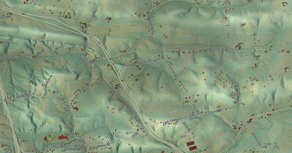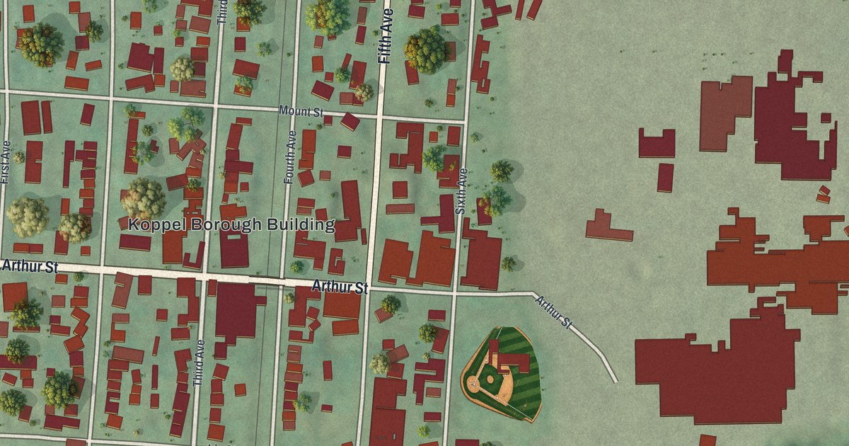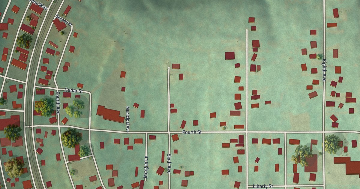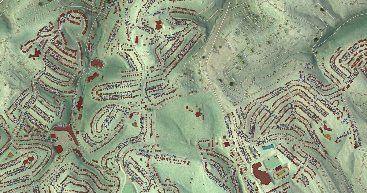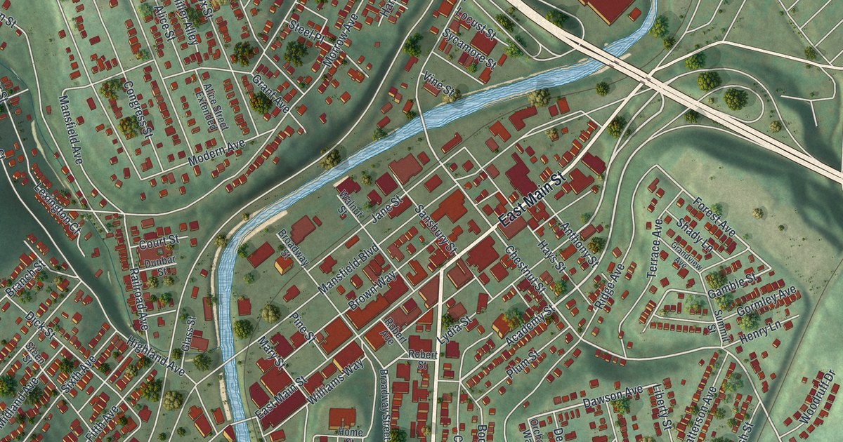
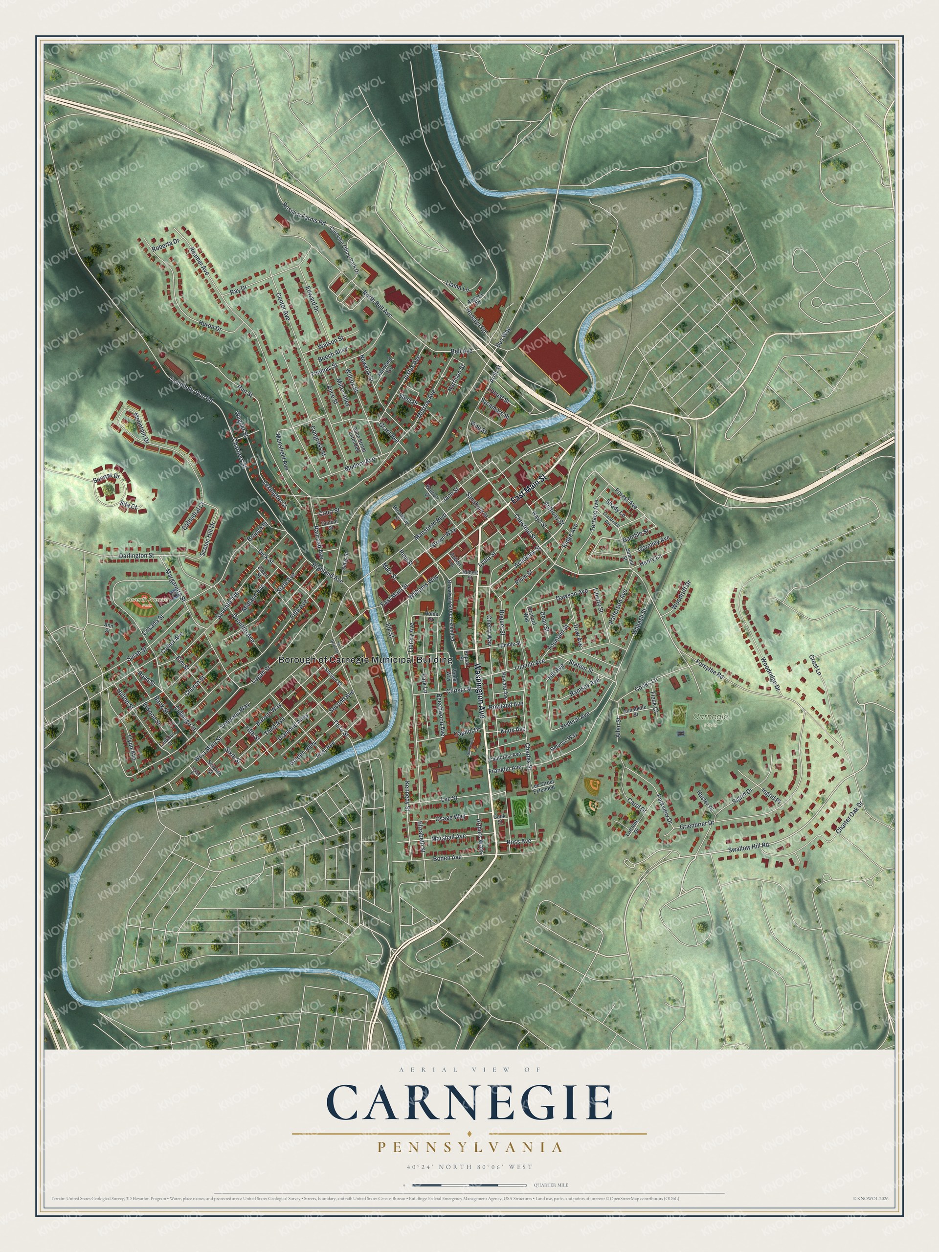
This beautifully detailed map of Carnegie, Pennsylvania was created in 2026 using aerial imagery combined with modern topographical, census, street and landmark data. It's a modern aerial view of Carnegie in Allegheny County, Pennsylvania, that combines modern data with a vintage aesthetic. The roads feature printed names, and if you look closely you can find your exact house accurately shown in its correct location.
Explore an aerial view of Carnegie, Pennsylvania
On this map you'll find Borough of Carnegie Municipal Building, Carnegie Park, Seventh Avenue Park, Washington Avenue, East Main Street, Academy Street, Swallow Hill Road, Dawson Avenue, Chestnut Street, Forest Avenue, Gamble Street, Bus Way, and more. Each red shape is a building, so zoom in on the preview and look for yours.
Carnegie has a story worth telling. The record at data.pa.gov puts it this way: "John Neville's mansion, burned to the ground by insurgents during a major escalation of violence in the Whiskey Rebellion, July 16-17, 1794."
Carnegie is a borough in Allegheny County. The Census Bureau counted 8,134 people here in 2020.
Take a closer look at the Carnegie map
Names on this map
These names are printed on this map.
Places: Borough of Carnegie Municipal Building, Carnegie Park and Seventh Avenue Park.
Streets and roads: Washington Avenue, East Main Street, Academy Street, Swallow Hill Road, Dawson Avenue, Chestnut Street, Forest Avenue, Gamble Street, Bus Way, Marshall Avenue, West Main Street, Logan Street.
More street names, A to Z
Alice Street, Alice Street Extended, Allen Street, Angora Road, Annabelle Street, Ann Street, Anthony Street, Arch Street, Arthurs Ways, Bank Street, Barrett Way, Beech Alley, Beechwood Avenue, Bell Avenue, Boden Avenue, Boquet Street, Boyd Street, Branch Street, Broadway Street, Broadway Street Extended, Brown Way, California Avenue, Campbells Run Road, Capitol Drive, Carnegie Office Park Drive, Carol Drive, Cathedral Court, Center Avenue, Charles Street, Charter Oak Drive, Chartiers Street, Cherry Way, Christy Street, Church Street, Collier Avenue, Congress Street, Cooks Lane, Cook Street, Court Street, Crest Lane, Crisada Street, Cubbage Street, Darlington Street, Dean Street, Defonso Way, Diamond Alley, Dick Street, Doolittle Avenue, Dow Avenue, Dunbar Street, Edward Drive, Eighth Street, Elizabeth Street, Elk Street, Elm Street, Elwood Street, Federal Avenue, Fifth Avenue, Fifth Street, First Avenue, Fleck Court, Flynn Avenue, Forsythe Road, Fountain Street, Franklin Avenue, Glass Street, Golden Alley, Gormley Avenue, Governor's Lane, Grandview Avenue, Grant Avenue, Grienbrier Drive, Harrison Street, Hays Street, Henry Lane, Highland Avenue, Hill Avenue, Home Street, Howard Avenue, Hulton Street, Huron Drive, Husler Place, Ingrid Place, Jane Street, Justus Avenue, Kennedy Street, Knox Avenue, Lee Street, Lee Street Extended, Lexington Court, Liberty Street, Library Avenue, Lincoln Avenue, Llama Lane, Locust Street, Lookout Street, Lorraine Drive, Lydia Street, Mansfield Avenue, Mansfield Boulevard, Margaretta Street, Maryland Avenue, Mary Street, Mc Dermit Street, Midland Avenue, Miller Alley, Modern Avenue, Morrow Avenue, Mountain Drive, Newkirk Street, North Bell Avenue, Orchard Way, Osage Way, Park Lane, Parkview Drive, Patterson Avenue, Pine Street, Plum Street, Poplar Street, Poplar Way, Railroad Avenue, Ramsey Avenue, Ray Drive, Reamer Avenue, Ridge Avenue, Roberta Drive, Robert Avenue, Robert Street, Ross Avenue, Rosslyn Farms Road, Rosslyn Road, Rowland Avenue, Run Street, Sansbury Street, Sarah Street, Scenic Hill Drive, Second Avenue, Second Street, Seventh Avenue, Seventh Street, Shady Lane, Sigrid Drive, Sita Court, Sixth Avenue, Sixth Street, Station Street, Steel Place, Steen Street, Summit Street, Sunrise Drive, Sycamore Street, Terrace Avenue, Third Avenue, Third Street, Thomas Street, Trimble Street, Veterans Way, Vine Street, Wabash Street, Wagner Street, Walnut Street, Watson Street, Wilcox Street, Williams Way, Woodridge Drive, Woodruff Drive.
Created by KNOWOL in 2026. The buildings are small red shapes, the roads carry their printed names, and shaded relief shows the shape of the land. The title panel reads "AERIAL VIEW OF CARNEGIE PENNSYLVANIA" with 4, 0, °, 2, 4, ', , N, O, R, T, H, , 8, 0, °, 0, 6, ', , W, E, S, T.
It looks right in a kitchen, an office or a den, and it's a gift for anyone who grew up in Carnegie or moved away. Open the preview and find your street. See sizes and frames for the Carnegie map.