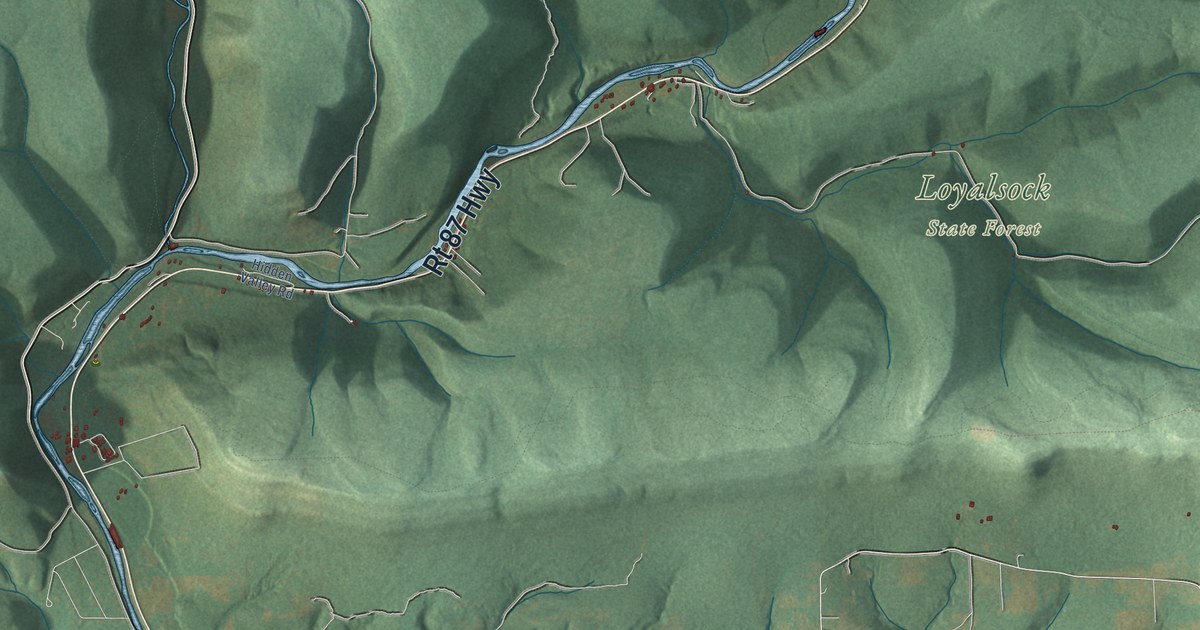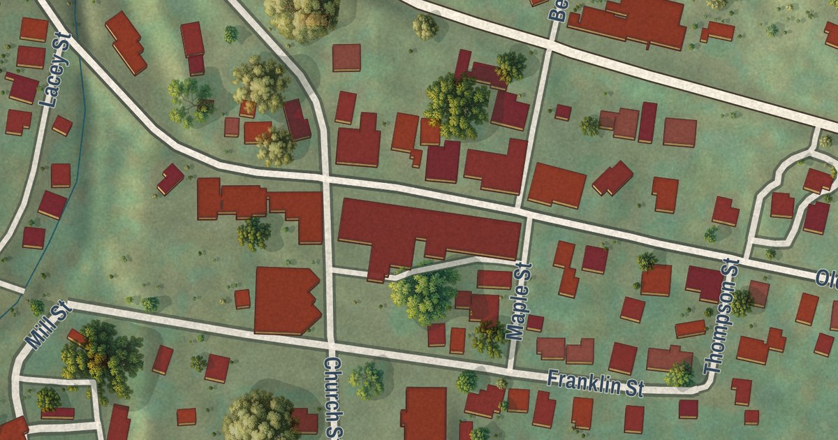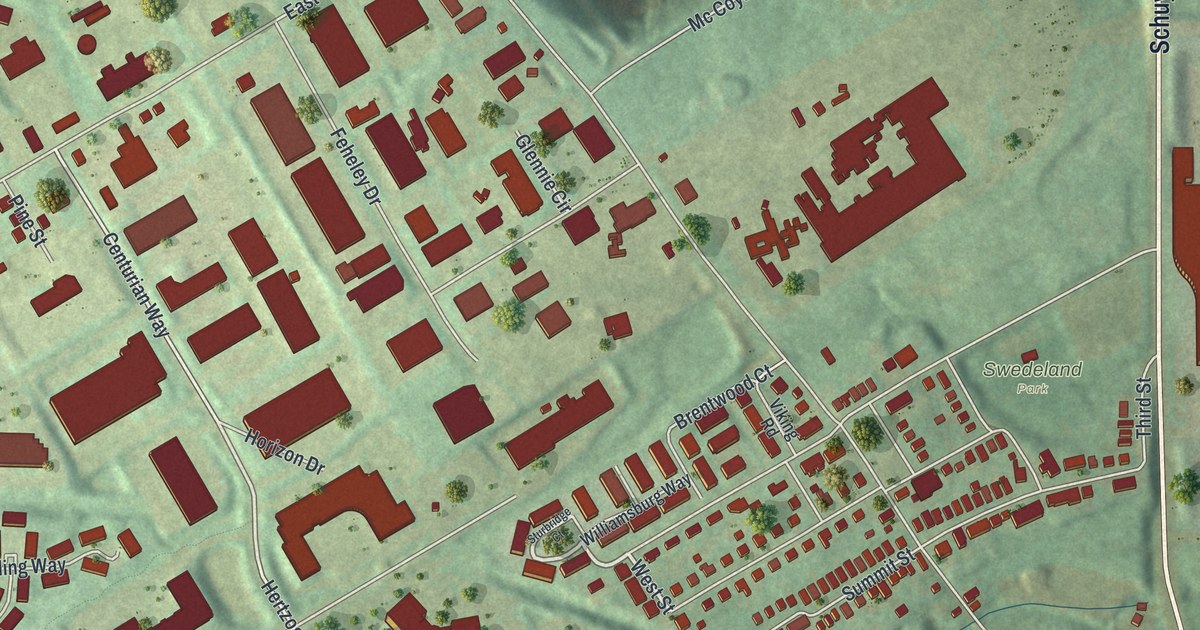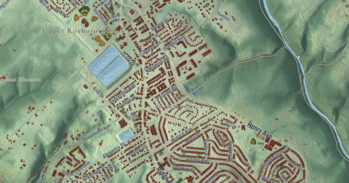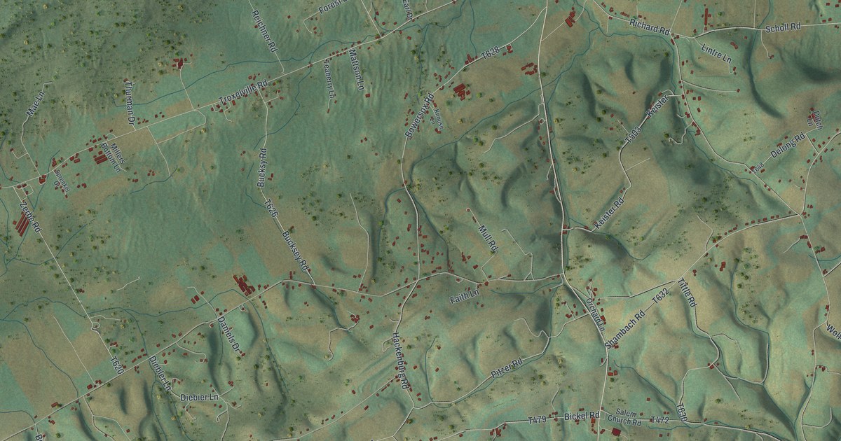
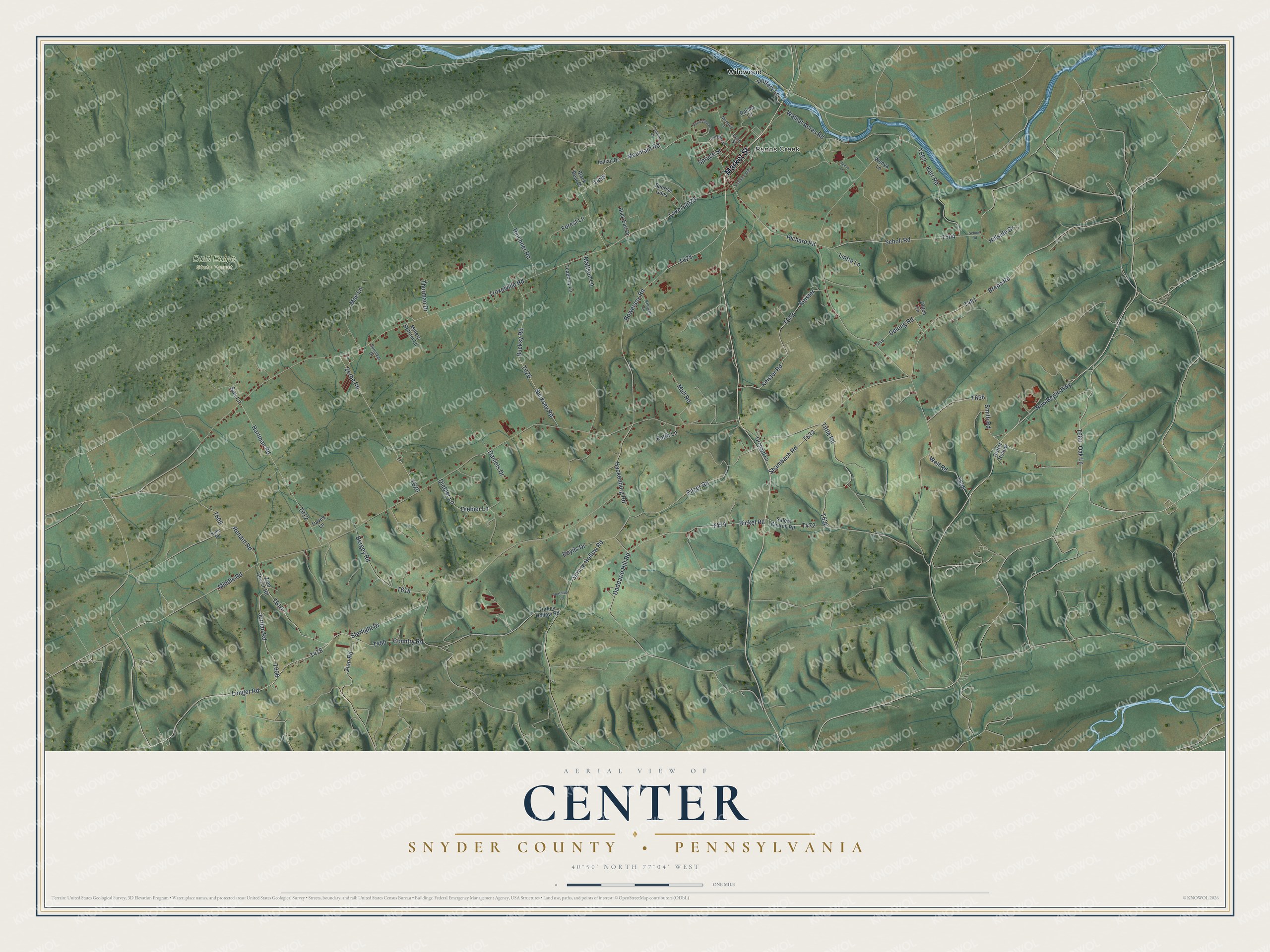
This beautifully detailed map of Center, Snyder County, Pennsylvania was created in 2026 using aerial imagery combined with modern topographical, census, street and landmark data. It’s a one-of-a-kind view of Center that combines accurate data with a vintage aesthetic. The map shows every building in its true location, many of the roads carry their names, and the shaded topographic relief shows the shape of the land.
Explore an aerial view of Center, Snyder County, Pennsylvania
On the map you’ll find Penns Creek, Bald Eagle State Forest, and Wildwood, along with Market Street, New Berlin Highway, Richard Road, Oak Lane, Smith Road, and more. If you look closely you can even find your house accurately drawn in its correct location. Zoom in on the preview to look for yours.
Did you know this piece of Center, Snyder County, Pennsylvania history?
Center Township in Snyder County was formed in 1805, when the court ordered the new township to be called Centre. Its village of Centreville was laid out in 1806 by Colonel George Weirick. He served as a lieutenant colonel in the War of 1812 and later sat in the Pennsylvania Assembly. That’s from the 1886 History of the Susquehanna and Juniata Valleys.
Take a closer look at the Center, Snyder County map
Street and place names on the Center, Snyder County, Pennsylvania map
These names are printed on the map of Center, Snyder County, Pennsylvania.
Places: Penns Creek, Bald Eagle State Forest and Wildwood.
Streets and roads: Market Street, New Berlin Highway, Richard Road, Oak Lane, Smith Road, Wolf Road, Longer Road, Zion Road, Renard Road, Troxelville Road, Mountain Road, Walnut Acres Road.
More street names, A to Z
Bergey Road, Bickel Road, Black Bear Drive, Bowersox Road, Boyds Drive, Breon Road, Buck Earl Drive, Bucksey Road, Bucksy Road, Campus Drive, Country Road, Critter Hollow, Daddario Hill Road, Daniels Drive, Daves Lane, Delong Road, Diebier Lane, Diebler Lane, Dutch Lane, Faith Lane, Forest Lane, Hackenburg Road, Hartman Road, Hillside Drive, Italian Drive, Jordan Road, Keene Lane, Keister, Keister Road, Kerr Road, Knouse Lane, Kuhn Road, Lake 54029, Lintre Lane, Mae Lane, Mattson Lane, Memory Lane, Middle Road, Millers Bottom Lane, Mull Road, Northrup Lane, Orchard Lane, Penn Street, Penn View Drive, Pioneer Drive, Pitzer Road, Pottery Lane, Ralsha Lane, Reichner Road, Salem Church Road, Scholl Road, School Road, Shambach Road, Sox Lane, Sprenkel Drive, Spruce Hollow Road, Spruce Street, Starlight Drive, Sunrise Gdns, Sunshine Alley, Teaberry Lane, Thurman Drive, Tittle Road, Turkey Hollow Road, Wonya Lane, Zerbe Road, Zion Church Road.
See the Center, Snyder County, Pennsylvania map on a wall
The Center, Snyder County map as an 18 x 24 inch print in a black frame.

This beautifully detailed map of Center, Snyder County makes an attractive addition to your office, library, or den, and it can even be used to teach children the geography and history of the area. It also makes a great gift for anyone who grew up in Center or moved away. When you’re done exploring, click here to get your copy of the Center, Snyder County map.