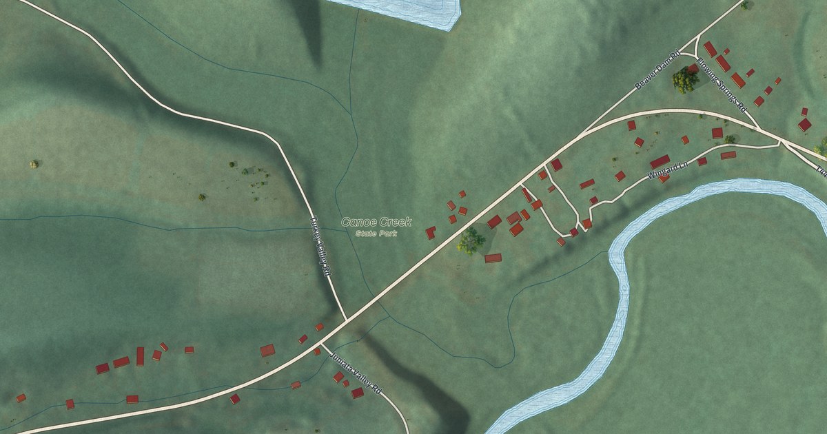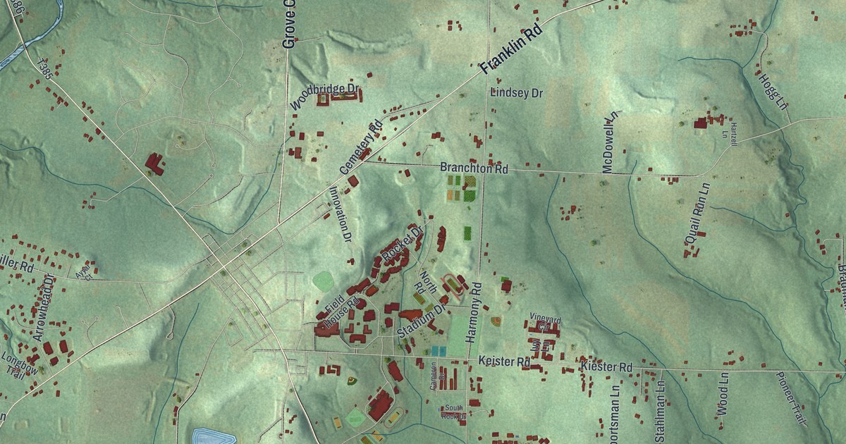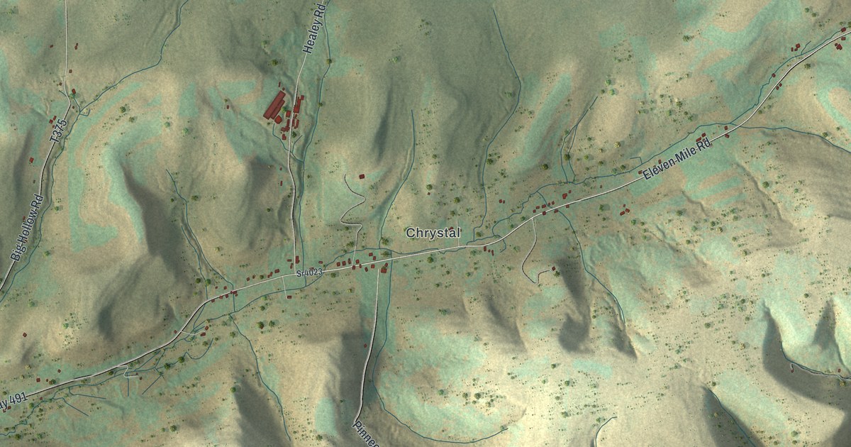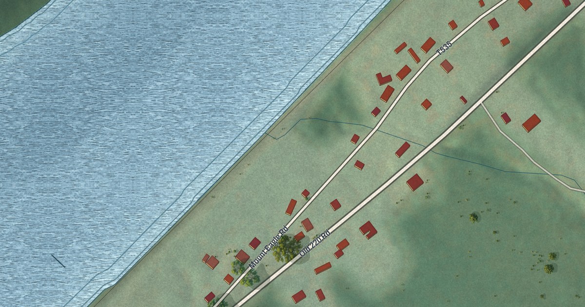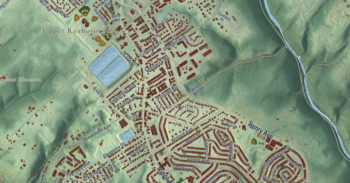
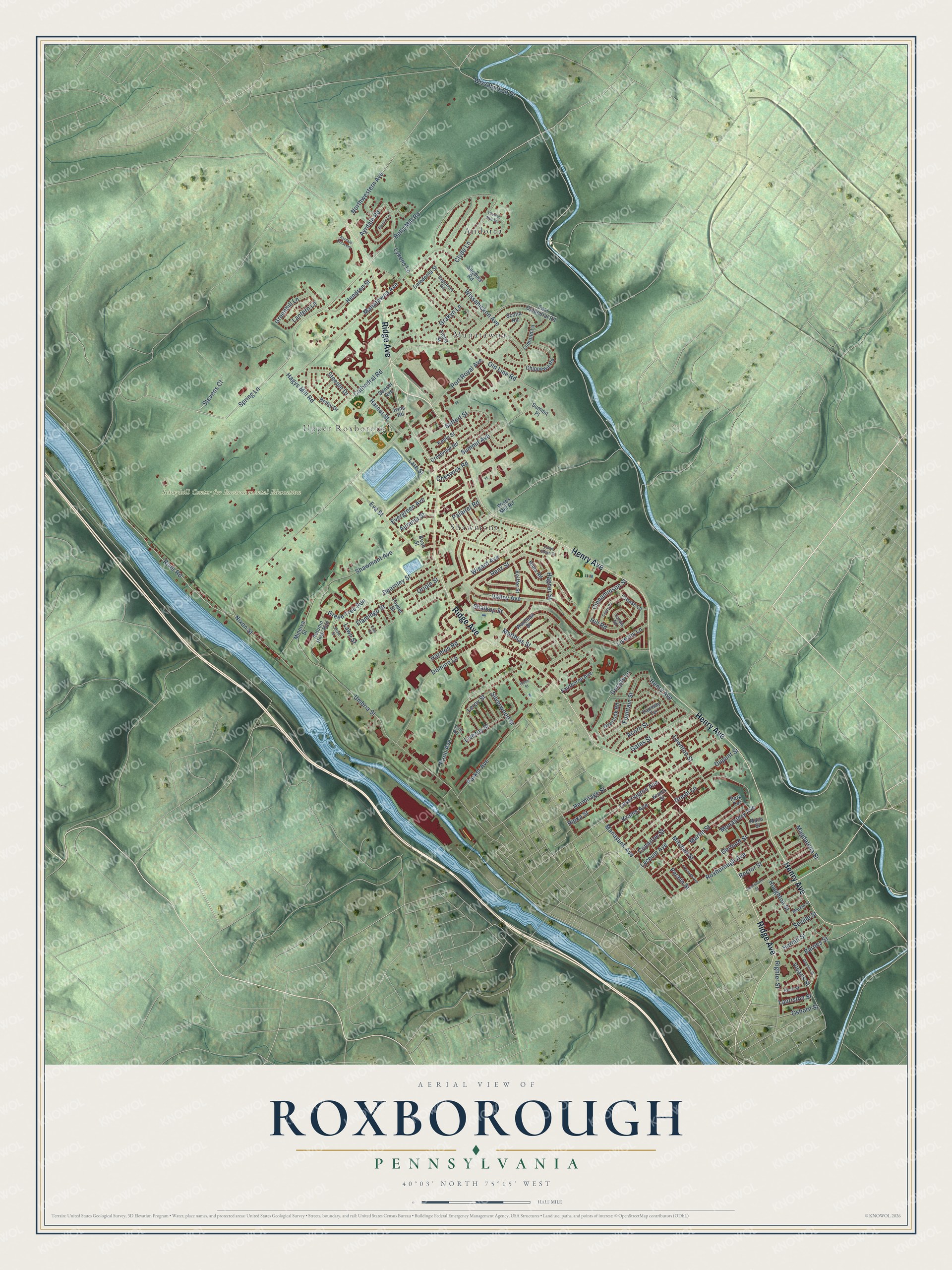
This beautifully detailed map of Roxborough, Pennsylvania was created in 2026 using aerial imagery combined with modern topographical, census, street and landmark data. It’s a one-of-a-kind view of Roxborough that combines accurate data with a vintage aesthetic. The map shows every building in its true location, many of the roads carry their names, and the shaded topographic relief shows the shape of the land.
Explore an aerial view of Roxborough, Pennsylvania
On the map you’ll find Schuykill Center for Environmental Education, Andorra, Upper Roxborough, Manatawna, and Shawmont, along with Henry Avenue, Ridge Avenue, Spring Lane, Bells Mill Road, River Road, Hagys Mill Road, Wissahickon Drive, and more. If you look closely you can even find your house accurately drawn in its correct location. Zoom in on the preview to look for yours.
Did You Know?
From Internet Archive: "In 1693 a mill for the manufacture of paper is believed to have been in existence in the borough of Roxborough."
Roxborough is a place in Philadelphia County.
Take a closer look at the Roxborough map
Names on this map
These names are printed on this map.
Places: Schuykill Center for Environmental Education, Andorra, Upper Roxborough, Manatawna and Shawmont.
Streets and roads: Henry Avenue, Ridge Avenue, Spring Lane, Bells Mill Road, River Road, Hagys Mill Road, Wissahickon Drive, Ayrdale Road, Stevens Court, Port Royal Avenue, Manatawna Avenue, Shawmont Avenue.
More street names, A to Z
Acorn Street, Aurania Street, Autumn River Run, Ayrdale Crescent, Barnes Street, Bean Street, Belfry Drive, Caledonia Street, Cardin Road, Cathedral Road, Cheswick Road, Chippewa Road, Cinnaminson Street, Claire Road, Cliff Road, Clyde Lane, Conarroe Street, Crease Lane, Crestview Road, Culp Street, Dearnley Street, Domino Lane, Dupont Street, East Cathedral Road, Eva Street, Evergreen Avenue, Fairthorne Avenue, Fairway Terrace, Flamingo Street, Fountain Street, Fowler Street, Freeland Avenue, Gates Street, Gerhard Street, Gorgas Lane, Grakyn Lane, Greenhill Lane, Green Lane, Green Tree Run, Hagner Street, Harmon Road, Harner Street, Hendren Street, Hermitage Street, Hermit Street, Hill Road, Hiola Road, Houghton Street, Ivins Road, Jamestown Street, Keely Street, Keiffer Street, Krams Avenue, Krams Street, Lantern Lane, Lare Street, Lauriston Street, Lawn Street, Lawnton Street, Leroy Street, Leverington Avenue, Livezey Lane, Livezey Street, Lomond Lane, Lyceum Avenue, Lykens Lane, Magdalena Street, Manayunk Avenue, Maris Street, Markle Street, Martin Street, Matthias Street, Minerva Street, Mitchell Street, Monastery Avenue, Nixon Street, Northwestern Avenue, Old Line Road, Oriole Street, Osborn Street, Overlook Road, Palairet Road, Paoli Avenue, Parker Avenue, Park Terrace, Pechin Street, Quentin Street, Rector Street, Renz Street, Righter Street, Ripka Street, Rock Street, Ronnie Lane, Roxborough Avenue, Sagamore Road, Scotia Road, Seffert Street, Sequoia Road, Seville Street, Shalkop Street, Shaw Street, Silverwood Street, Steeple Drive, Summit Avenue, Summit Place, Sunset Avenue, Thomas Mill Terrace, Tiona Street, Ulmer Street, Umbria Street, Valley Avenue, Valley Green Court, Vicaris Street, Wartman Street, Wigard Avenue, Wises Mill Road, Wissahickon Avenue.
See it on a wall
The Roxborough map as a framed print. Swipe for more.


This beautifully detailed map of Roxborough makes an attractive addition to your office, library, or den, and it can even be used to teach children the geography and history of the area. It also makes a great gift for anyone with Roxborough roots. When you’re done exploring, click here to get your copy of the Roxborough map.