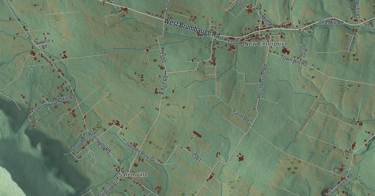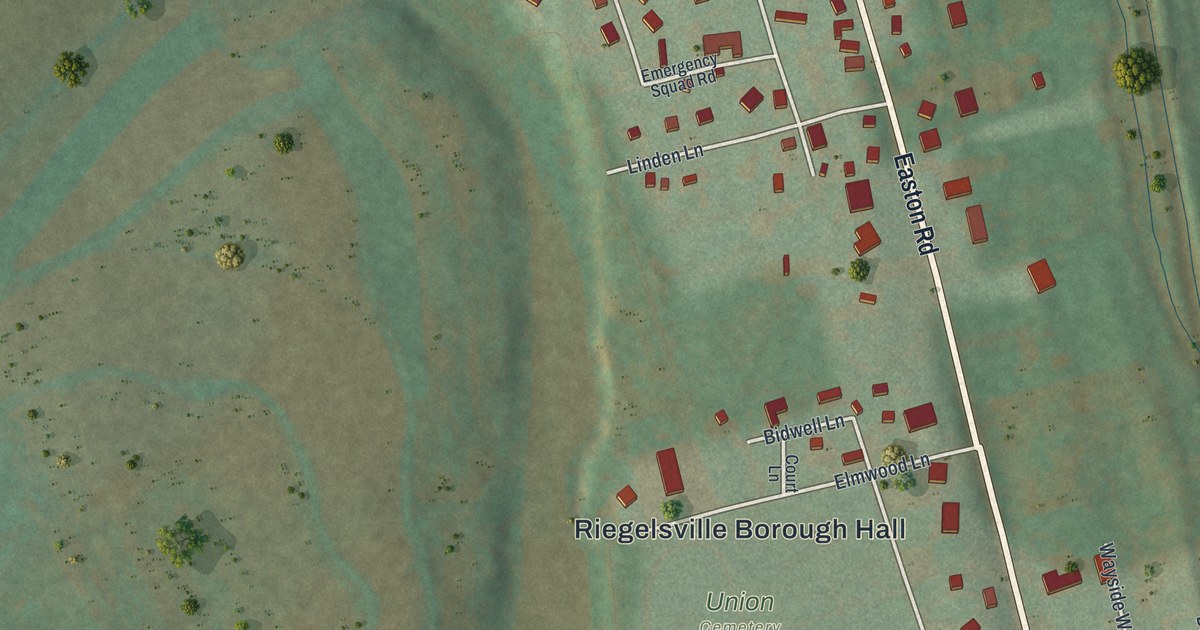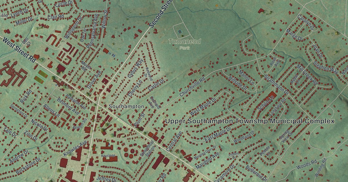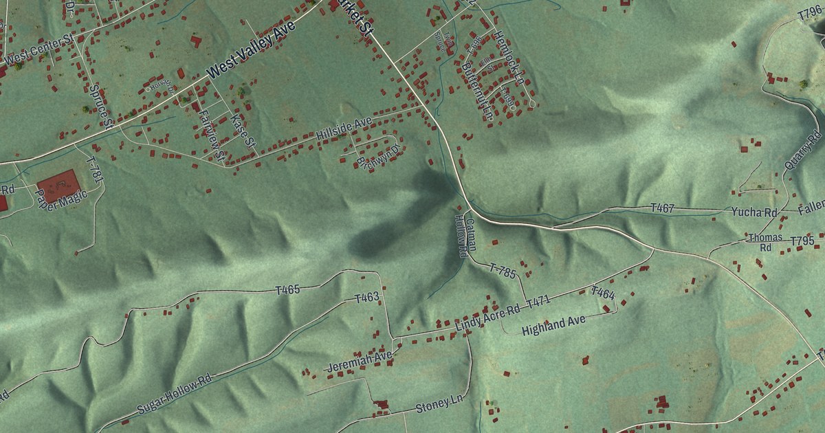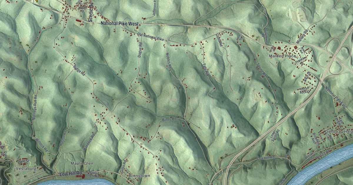
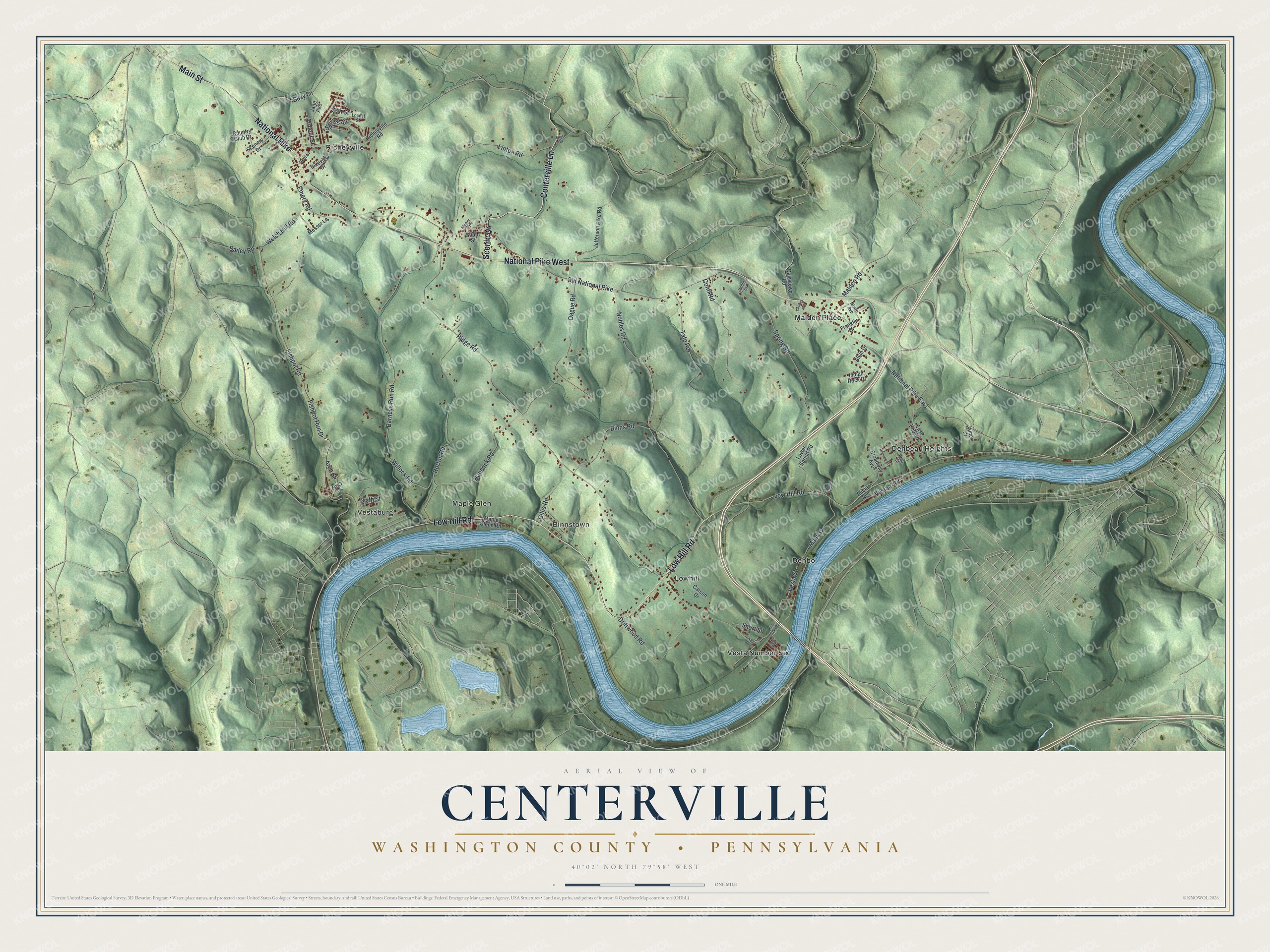
This beautifully detailed map of Centerville, Washington County, Pennsylvania was created in 2026 using aerial imagery combined with modern topographical, census, street and landmark data. It's a modern aerial view of Centerville, Washington County in Washington County, Pennsylvania, that combines modern data with a vintage aesthetic. The roads feature printed names, and if you look closely you can find your exact house accurately shown in its correct location.
Explore an aerial view of Centerville, Washington County, Pennsylvania
On this map you'll find Binnstown, Denbeau Heights, Denbo, Lowhill, Malden Place, Maple Glen, Richeyville, Vesta Number Six, Vestaburg, National Pike West, Low Hill Road, Main Street, and more. Each red shape is a building, so zoom in on the preview and look for yours.
Every town has a first chapter, and Centerville, Washington County is no exception. The record at data.pa.gov puts it this way: "An integral part of the National Road, this was the first metal arch bridge in the United States, built 1836-39."
Centerville, Washington County is a borough in Washington County. The Census Bureau counted 3,256 people here in 2020.
Take a closer look at the Centerville, Washington County map
Names on this map
These names are printed on this map.
Places: Binnstown, Denbeau Heights, Denbo, Lowhill, Malden Place, Maple Glen, Richeyville, Vesta Number Six and Vestaburg.
Streets and roads: National Pike West, Low Hill Road, Main Street, National Pike, Centerville Lane, Scenic Drive, Old National Pike, National Pike East, Spring Street, Ridge Road, Barneys Run Road, Fishpot Road.
More street names, A to Z
Alicia Avenue, Alkin Drive, Arch Street, Armour Street, Ash Street, Bailey Road, Binns Road, Brenton Street, Broadway Avenue, Carson Drive, Conti Road, Country Club Drive, Dague Road, Daisytown Road, Dawson Road, Dent Street, Driftwood Road, East End Road, Emery Road, Fire Hall Road, First Street, Fishpot Run Drive, Franklin Drive, Gillis Road, Grimes Avenue, Hancock Road, Horton Road, Indian Rock Drive, James Street, Jamie Street, Jane Avenue, Jefferson Pike Road, Linton Road, Locust Street, Lower Sprind Road, Malden Road, Maple Glenn Road, Market Street, Messer Lane, Mitchell Lane, Nixon Avenue, Nobles Road, Oak Street, Pfiel Street, Pikeview Drive, Richeyville Road, Scenery Drive, Short Street, Sixth Street, South Street, Spring Road, Spur Road, Suzy Lane, Tate Road, Vesta 7 Road, Vesta Street, Welch Hill Road, Willock Road.
Created by KNOWOL in 2026. The buildings are small red shapes, the roads carry their printed names, and shaded relief shows the shape of the land. The title panel reads "AERIAL VIEW OF CENTERVILLE WASHINGTON COUNTY • PENNSYLVANIA" with 4, 0, °, 0, 2, ', , N, O, R, T, H, , 7, 9, °, 5, 8, ', , W, E, S, T.
Hang it in the hallway, the office or the cabin, or give it to someone who left Centerville, Washington County and still calls it home. Open the preview and look for a street you know. See sizes and frames for the Centerville, Washington County map.