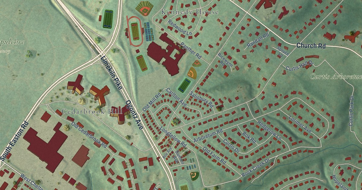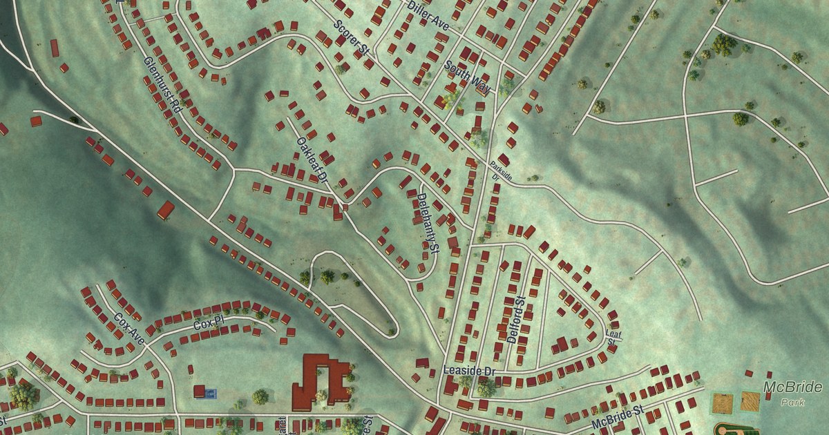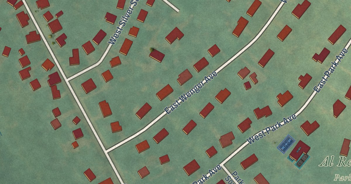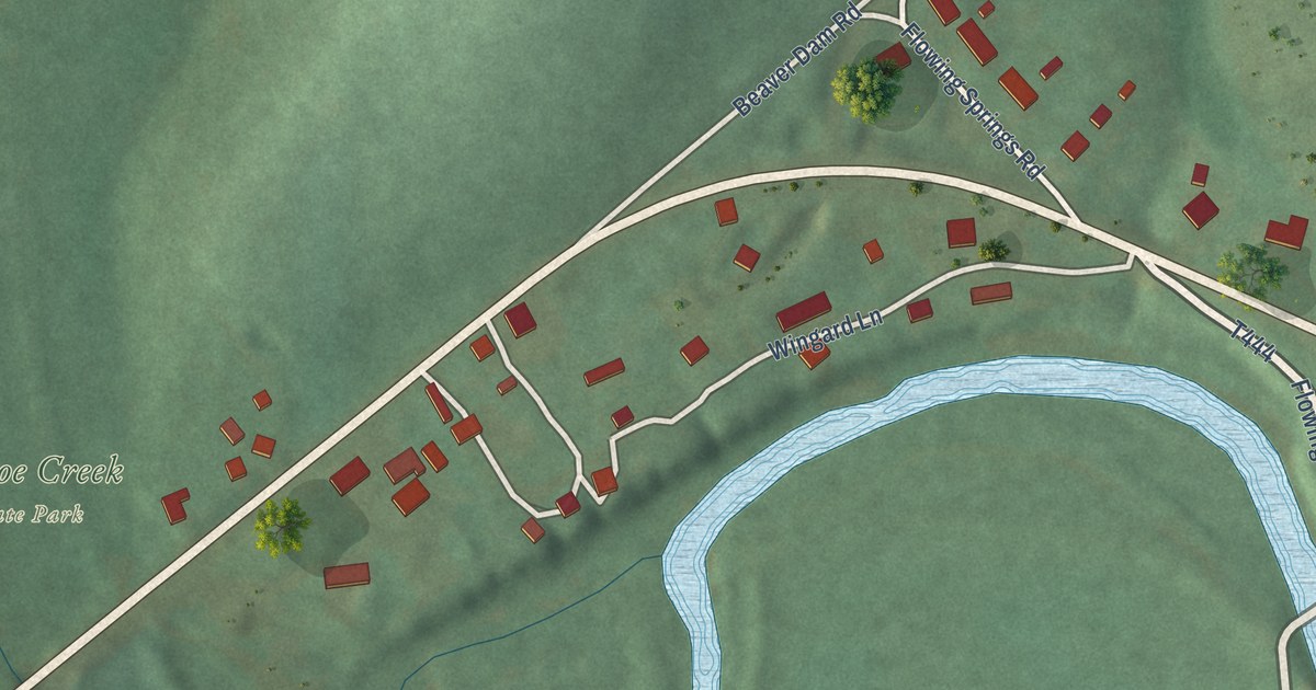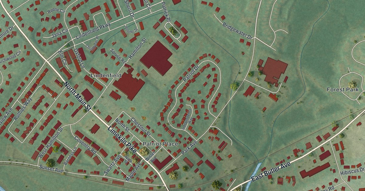
This beautifully detailed map of Chalfont, Pennsylvania was created in 2026 using aerial imagery combined with modern topographical, census, street and landmark data. It’s a one-of-a-kind view of Chalfont that combines accurate data with a vintage aesthetic. The map shows every building in its true location, many of the roads carry their names, and the shaded topographic relief shows the shape of the land.
Explore an aerial view of Chalfont, Pennsylvania
On the map you’ll find Twin Streams Park, Kelly Park, Derstine Memorial Park, Forest Park, Lindenfield, and Patriot Place, along with South Limekiln Pike, North Limekiln Pike, East Butler Avenue, Limekiln Pike, State Street, North Main Street, and more. If you look closely you can even find your house accurately drawn in its correct location. Zoom in on the preview to look for yours.
Did you know this piece of Chalfont, Pennsylvania history?
From the 1876 History of Bucks County, Pennsylvania: "Chalfont, named after Chalfont St. Giles, a parish of Bucks, England, in whose Friends’ burying-ground William Penn lies buried, is situated at the forks of Neshaminy, formed by the main stream and the north branch. Its earliest village name was Barndtville, then Whitehallville, but when the railroad station, and subsequently the post-office, was changed to Chalfont, the village was called the same."
Take a closer look at the Chalfont map
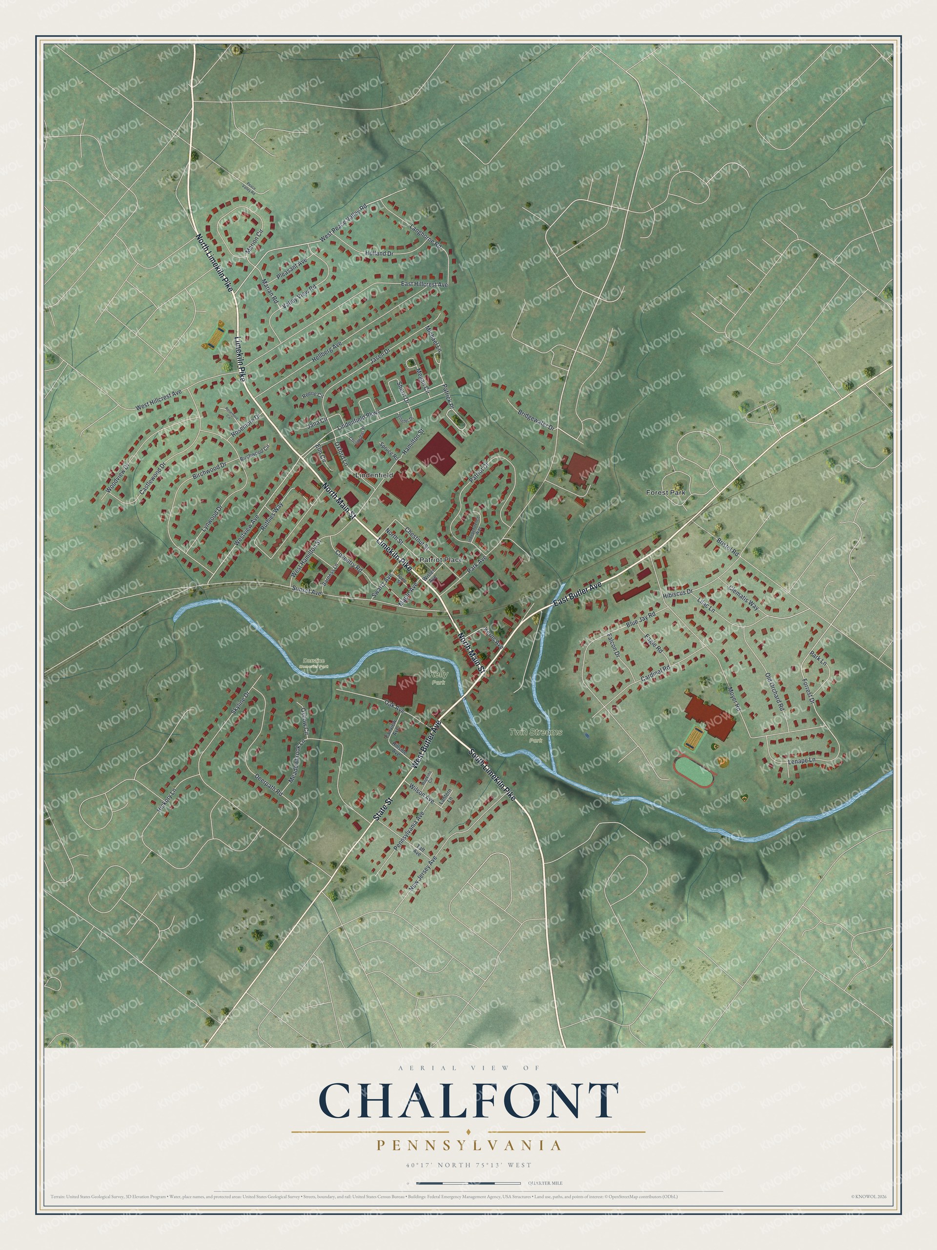
Street and place names on the Chalfont, Pennsylvania map
These names are printed on the map of Chalfont, Pennsylvania.
Places: Twin Streams Park, Kelly Park, Derstine Memorial Park, Forest Park, Lindenfield and Patriot Place.
Streets and roads: South Limekiln Pike, North Limekiln Pike, East Butler Avenue, Limekiln Pike, State Street, North Main Street, West Butler Avenue, Patrick Place, Lindenfield Parkway, West Peace Valley Road, Westview Avenue, Forrest Drive.
More street names, A to Z
Apple Street, Barness Lane, Birchwood Circle, Birchwood Drive, Blue Jay Road, Bridgewater Drive, Bristol Road, Cardinal Road, Castlewood Drive, Chestnut Street, Christopher Place, Clematis Way, Coventry Road, Deerpath Road, Eagle Road, East Hillcrest Avenue, Elm Circle, Fairview Avenue, Falcon Drive, Hamilton Street, Hellberg Avenue, Hibiscus Drive, Hickory Lane, Hillside Avenue, Holland Drive, Hopkins Circle, Independence Way, Jana Circle, Jasen Drive, Jennifer Drive, Kerns Avenue, Langhorne Road, Lantern Lane, Lenape Lane, Lilac Lane, Lynwood Drive, Maple Avenue, Marian Road, Marion Circle, Meadowbrook Lane, Megan Circle, Michael Lane, Moyer Road, New Jersey Avenue, North Street, Oak Avenue, Old Orchard Road, Oxbow Circle, Oxford Lane, Park Avenue, Park Lane, Patriot Drive, Peace Valley Road, Pennsylvania Avenue, Pleasant Avenue, Reene Circle, Rosemore Circle, Rosemore Drive, Ruthies Way, Sherri Drive, Skyline Drive, Spruce Road, Sunset Avenue, Swartz Avenue, Taft Avenue, Valley View Road, West Hamilton Street, West Hillcrest Avenue, Wilson Avenue, Wisler Avenue, Woodview Drive.
See the Chalfont, Pennsylvania map on a wall
The Chalfont map as an 18 x 24 inch print in a black frame.

This beautifully detailed map of Chalfont makes an attractive addition to your office, library, or den, and it can even be used to teach children the geography and history of the area. It also makes a great gift for someone who left Chalfont and still calls it home. When you’re done exploring, click here to get your copy of the Chalfont map.