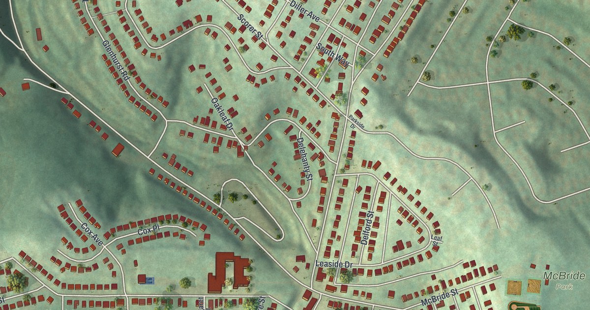
This beautifully detailed map of Lincoln Place, Pennsylvania was created in 2026 using aerial imagery combined with modern topographical, census, street and landmark data. It’s a one-of-a-kind view of Lincoln Place that combines accurate data with a vintage aesthetic. The map shows every building in its true location, many of the roads carry their names, and the shaded topographic relief shows the shape of the land.
Explore an aerial view of Lincoln Place, Pennsylvania
On the map you’ll find McBride Park, along with Lebanon Road, Interboro Avenue, Arctic Way, Rodgers Street, Mifflinridge Road, Theodore Road, Session Street, Mifflin Road, Mooney Road, Lougean Avenue, Leaside Drive, and more. If you look closely you can even find your house accurately drawn in its correct location. Zoom in on the preview to look for yours.
Did you know this about Lincoln Place, Pennsylvania?
From the City of Pittsburgh: "A hidden gem of the city, Lincoln Place is replete with green spaces, youth sports leagues, and community events."
Take a closer look at the Lincoln Place map
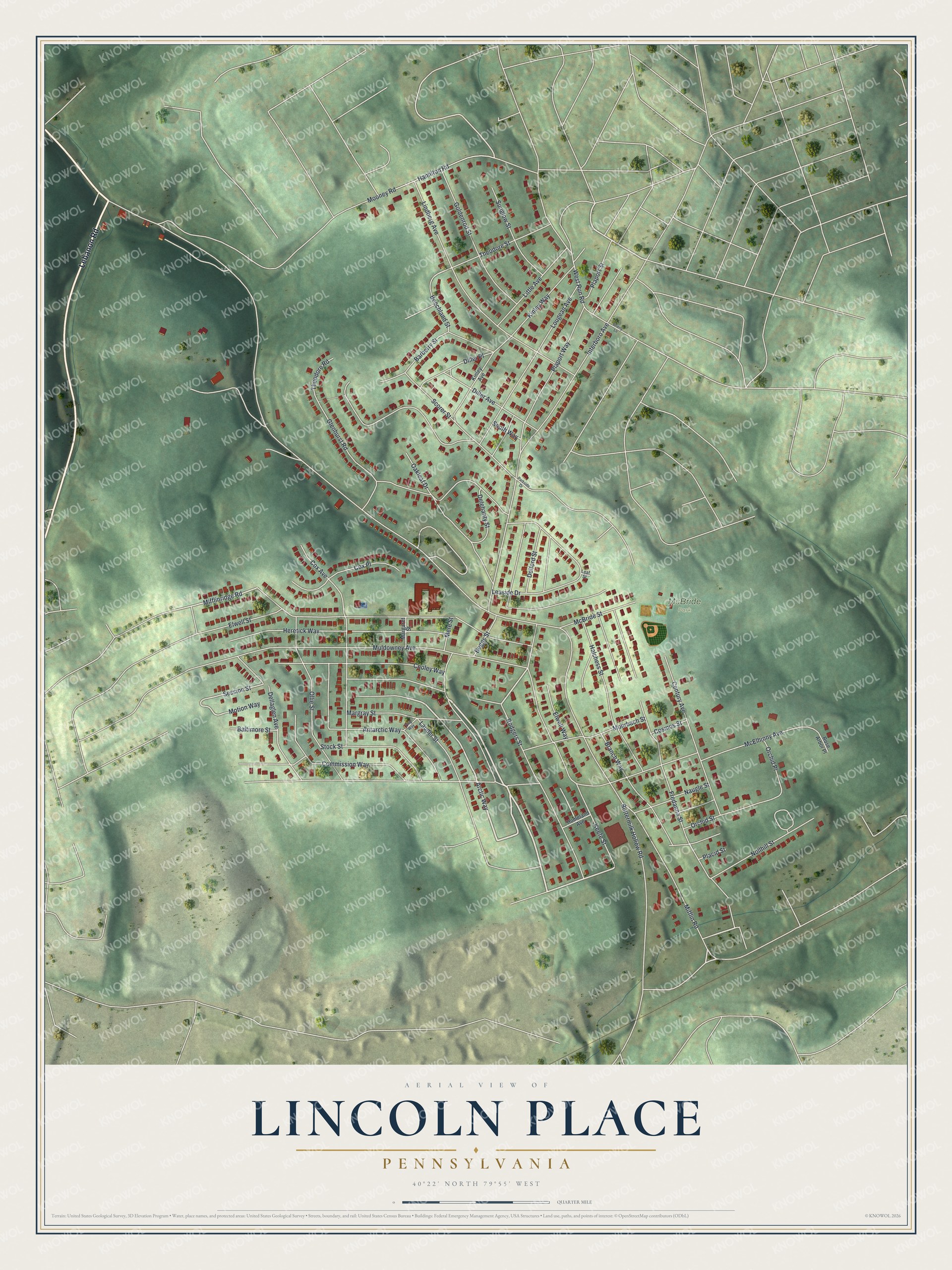
Street and place names on the Lincoln Place, Pennsylvania map
These names are printed on the map of Lincoln Place, Pennsylvania.
Places: McBride Park.
Streets and roads: Lebanon Road, Interboro Avenue, Arctic Way, Rodgers Street, Mifflinridge Road, Theodore Road, Session Street, Mifflin Road, Mooney Road, Lougean Avenue, Leaside Drive, Elwell Street.
More street names, A to Z
Antarctic Way, Baltimore Street, Barberry Street, Beechland Street, Beggs Street, Branch Way, Brierly Lane, Buttermilk Hollow Road, Century Avenue, Commission Way, Cooley Way, Cosmos Street, Cox Avenue, Cox Place, Delehanty Street, Delford Street, Dellaglen Avenue, Diller Avenue, Diller Place, Elwell Way, Fredanna Street, Glenhurst Road, Goldenrod Street, Halchess Street, Hamilton Road, Heretick Way, Homeland Avenue, Keefe Street, Kinley Avenue, Kinley Way, Lauder Street, Leaf Street, Lindberg Avenue, Little Avenue, Margaret Street, Margray Street, McBride Street, McElhinny Avenue, Mere Street, Mohrbach Street, Motion Way, Muldowney Avenue, Naugle Street, Nollhill Street, Oakleaf Drive, Ollie Street, Orchid Place, Orchid Street, Parkside Drive, Placid Street, Plaport Street, Plaport Way, Rose Arbor Place, Scorer Street, South Way, Stock Street, Sunglow Street, Theodore Street, Twig Way, West Run Road.
See the Lincoln Place, Pennsylvania map on a wall
The Lincoln Place map as an 18 x 24 inch print in a black frame.

This beautifully detailed map of Lincoln Place makes an attractive addition to your office, library, or den, and it can even be used to teach children the geography and history of the area. It also makes a great gift for anyone who grew up in Lincoln Place or moved away. When you’re done exploring, click here to get your copy of the Lincoln Place map.