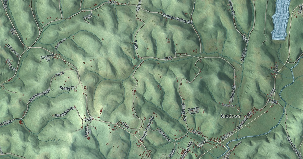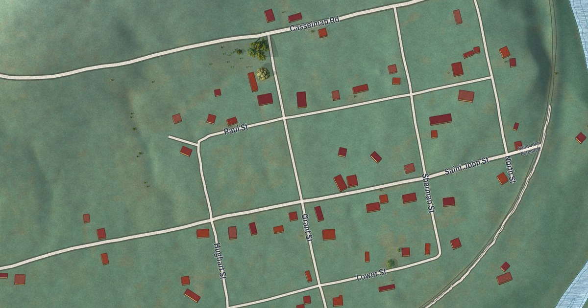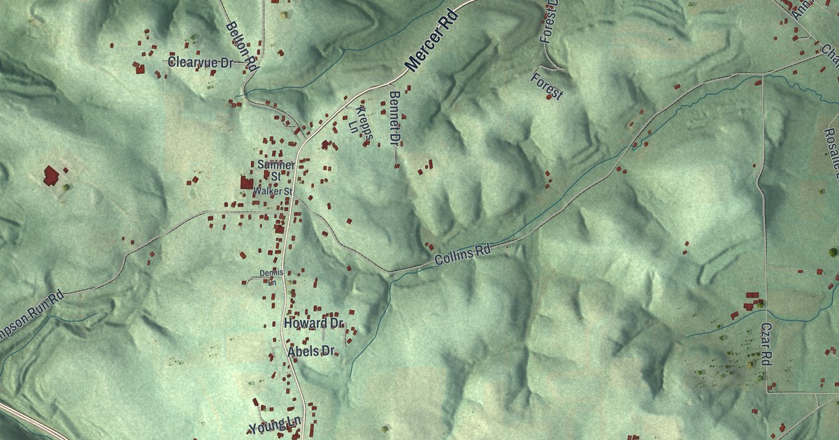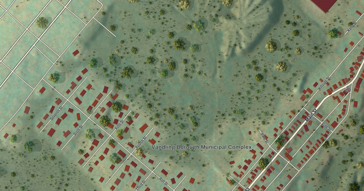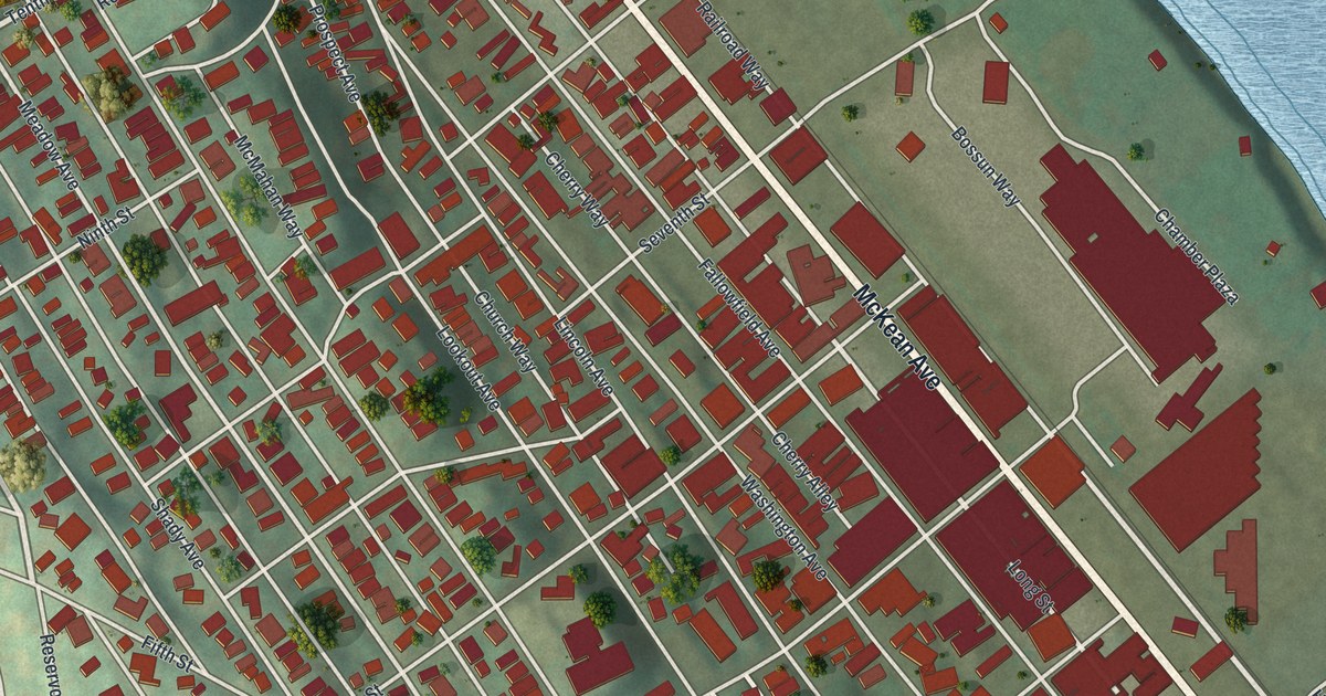
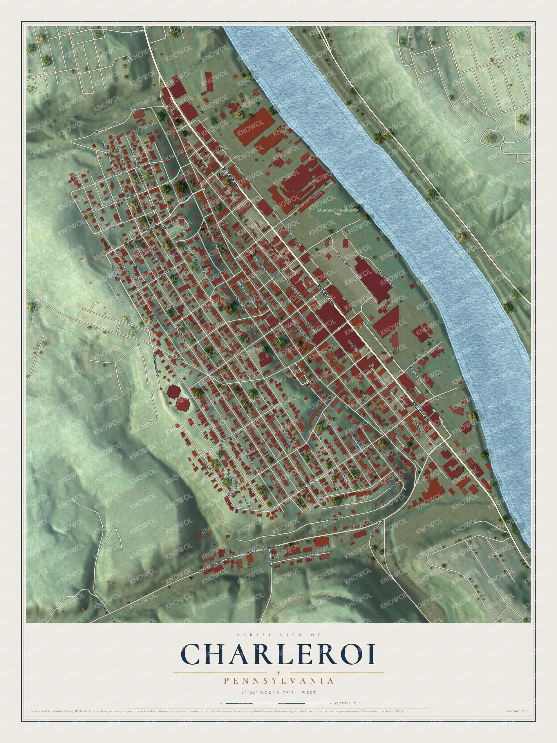
This beautifully detailed map of Charleroi, Pennsylvania was created in 2026 using aerial imagery combined with modern topographical, census, street and landmark data. It's a modern aerial view of Charleroi in Washington County, Pennsylvania, that combines modern data with a vintage aesthetic. The roads feature printed names, and if you look closely you can find your exact house accurately shown in its correct location.
Explore an aerial view of Charleroi, Pennsylvania
On this map you'll find Charleroi Community Park, McKean Avenue, Railroad Way, Lincoln Avenue Extended, Tenth Street, First Street, Tuman Way, Lincoln Avenue, Long Street, Sixth Street, Prospect Avenue, Fourth Street, and more. Each red shape is a building, so zoom in on the preview and look for yours.
Every town has a first chapter, and Charleroi is no exception. The Pennsylvania Historical and Museum Commission puts it this way: "Governor of Pennsylvania, 1911-1915. Highlights of his administration included creation of statewide primary elections and a state highway system; establishment of the Department of Labor & Industry and Pennsylvania Historical Commission. Member of Congress, 1909-11. Professional baseball player,1885-90; president, National League, 1913-18. Born in Ireland, he came to the U.S. at age nine. Resident of Charleroi after 1891."
Charleroi is a borough in Washington County. The Census Bureau counted 4,234 people here in 2020.
Take a closer look at the Charleroi map
Names on this map
These names are printed on this map.
Places: Charleroi Community Park.
Streets and roads: McKean Avenue, Railroad Way, Lincoln Avenue Extended, Tenth Street, First Street, Tuman Way, Lincoln Avenue, Long Street, Sixth Street, Prospect Avenue, Fourth Street, Meadow Avenue.
More street names, A to Z
13th Street, Apple Way, Blythe Way, Bossun Way, Calvary Road, Chamber Plaza, Cherry Alley, Cherry Way, Church Way, Crest Avenue, Eighth Street, Eleventh Street, Fallowfield Avenue, Fifth Street, Garr Street, Hussey Street, Long Alley, Lookout Avenue, Louella Avenue, Lower Meadow Avenue, Luella Avenue, Maple Avenue, Maple Creek Road, McKean Way, McMahan Way, Moore Way, Ninth Street, Nonies Way, Oakland Avenue, Old 71, Pine Alley, Prospect Alley, Reservoir Avenue, Round Street, Second Street, Seventh Street, Shady Avenue, Third Street, Twelfth Street, Upper Crest Avenue, Upper Meadow Avenue, Washington Avenue, Webster Avenue, Woodland Avenue, Young Lane.
Created by KNOWOL in 2026. The buildings are small red shapes, the roads carry their printed names, and shaded relief shows the shape of the land. The title panel reads "AERIAL VIEW OF CHARLEROI PENNSYLVANIA" with 4, 0, °, 0, 8, ', , N, O, R, T, H, , 7, 9, °, 5, 4, ', , W, E, S, T.
Hang it in the hallway, the office or the cabin, or give it to someone who left Charleroi and still calls it home. Open the preview and look for a street you know. See sizes and frames for the Charleroi map.