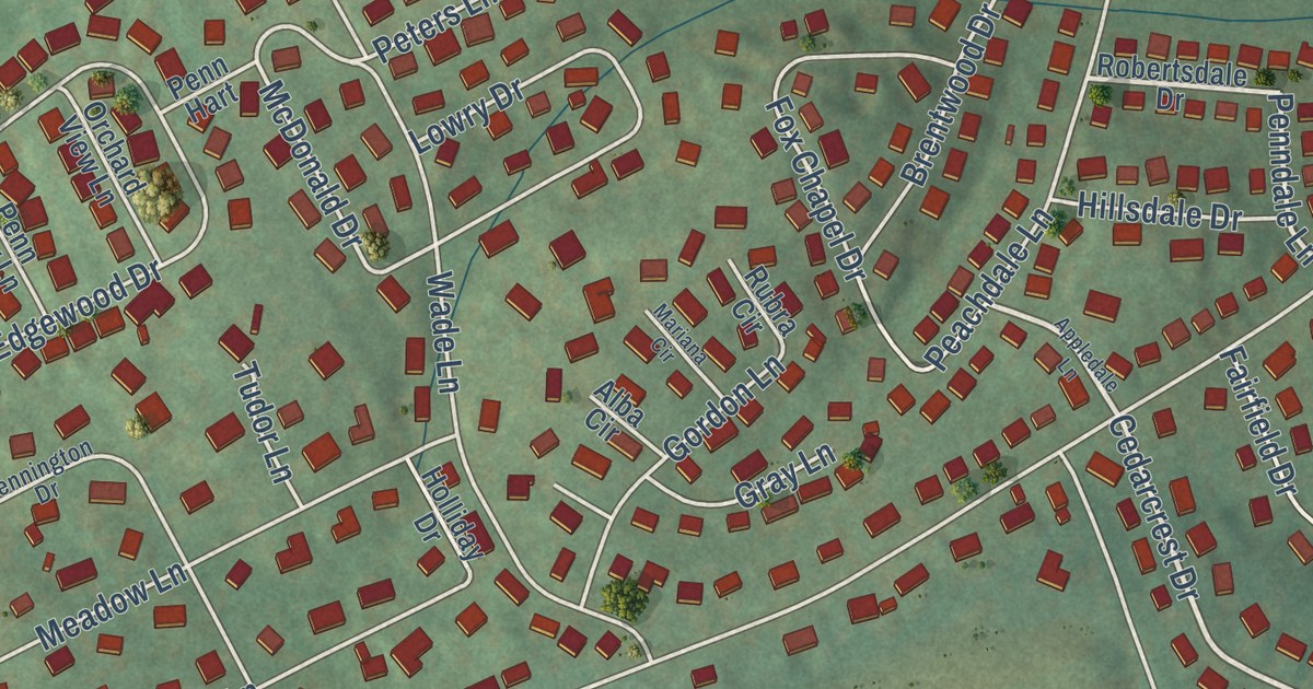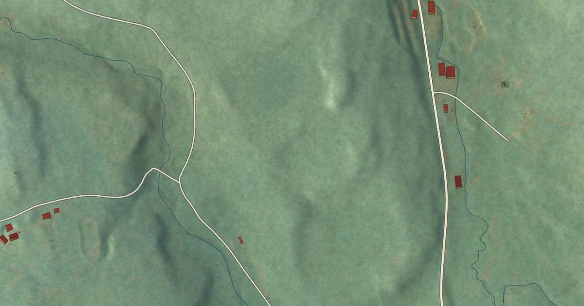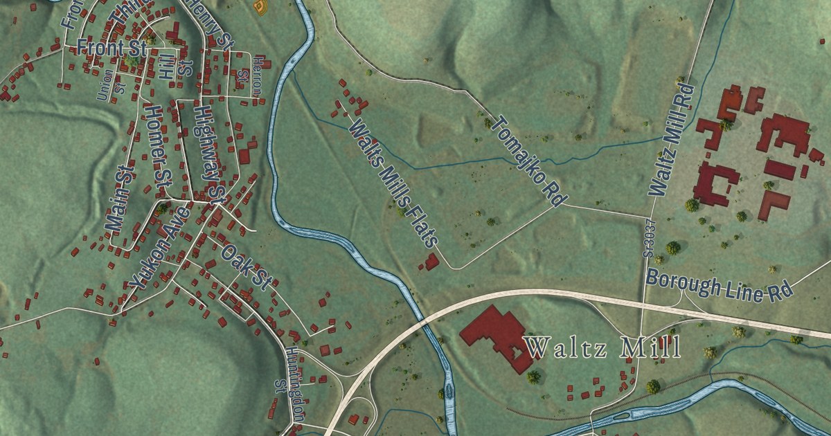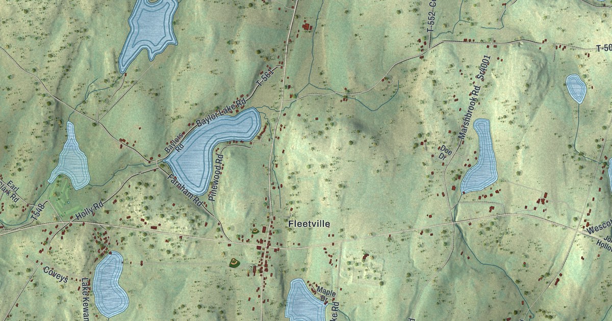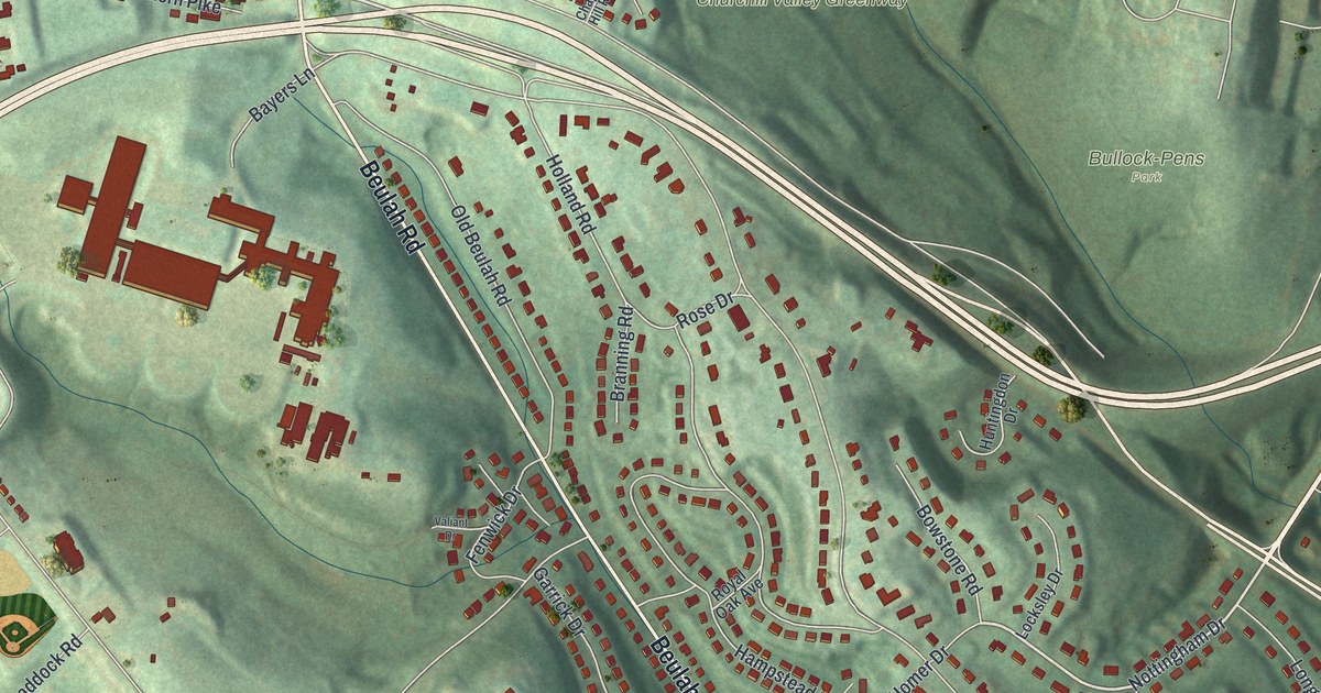
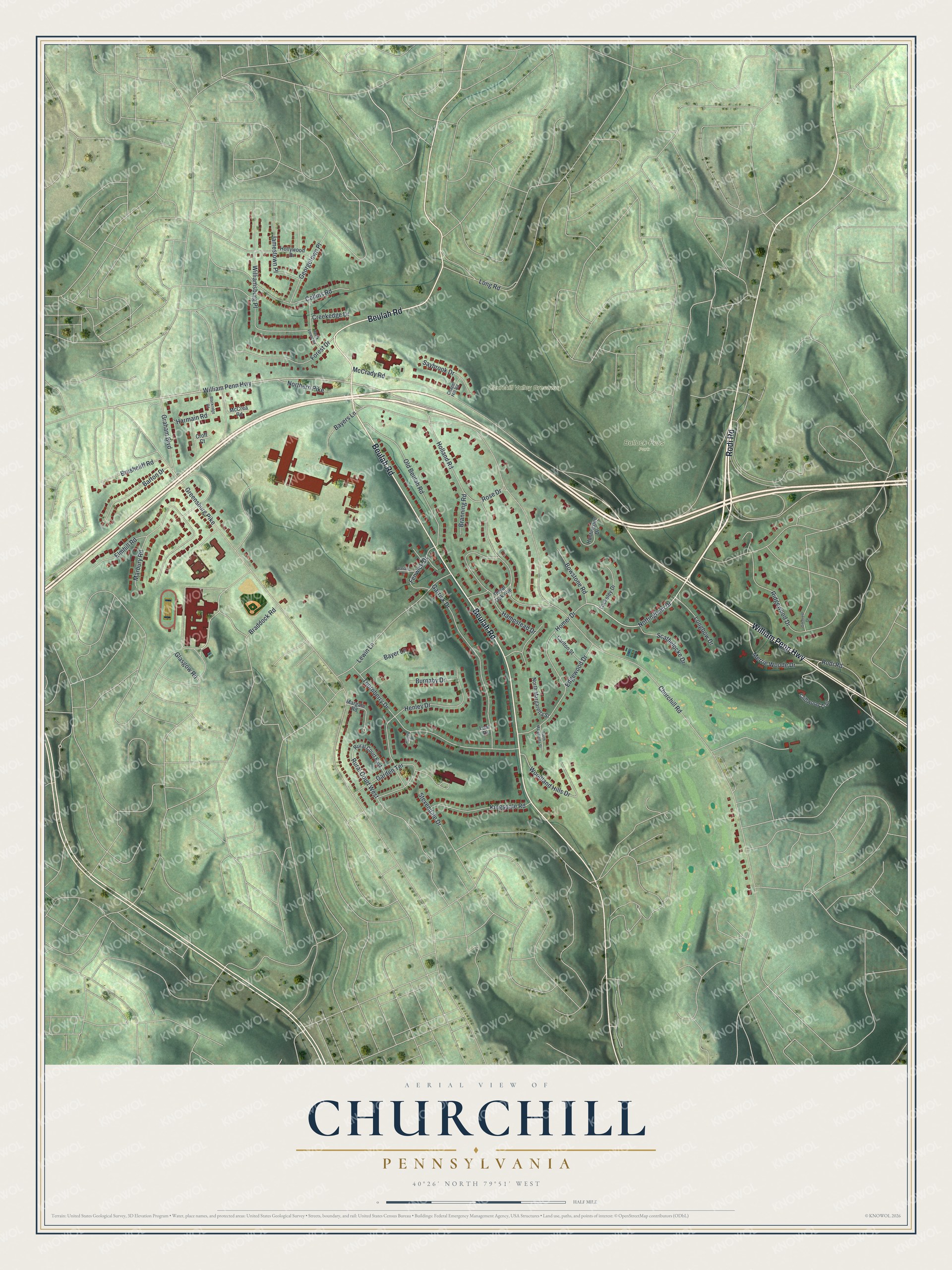
This beautifully detailed map of Churchill, Pennsylvania was created in 2026 using aerial imagery combined with modern topographical, census, street and landmark data. It’s a one-of-a-kind view of Churchill that combines accurate data with a vintage aesthetic. The map shows every building in its true location, many of the roads carry their names, and the shaded topographic relief shows the shape of the land.
Explore an aerial view of Churchill, Pennsylvania
On the map you’ll find Bullock-Pens Park and Churchill Valley Greenway, along with Rodi Road, Beulah Road, William Penn Highway, Nottingham Drive, Rural Court West, Marbury Road, Churchill Road, Greensburg Pike, McCrady Road, Holland Road, and more. If you look closely you can even find your house accurately drawn in its correct location. Zoom in on the preview to look for yours.
Did you know this piece of Churchill, Pennsylvania history?
Beulah Chapel in Churchill has been a Pittsburgh-area landmark since 1837. Its bricks were made right on the grounds. The chapel stands where General Forbes’ British army camped before it drove the French from Fort Duquesne in 1758. Its congregation, organized in 1784, is the mother of many area churches, including First Presbyterian of Pittsburgh. That’s from the Beulah Chapel historical marker.
Take a closer look at the Churchill map
Street and place names on the Churchill, Pennsylvania map
These names are printed on the map of Churchill, Pennsylvania.
Places: Bullock-Pens Park and Churchill Valley Greenway.
Streets and roads: Rodi Road, Beulah Road, William Penn Highway, Nottingham Drive, Rural Court West, Marbury Road, Churchill Road, Greensburg Pike, McCrady Road, Holland Road, Thornberry Drive, Hampstead Drive.
More street names, A to Z
Barton Drive, Bayer Lane, Bayers Lane, Black Forest Road, Blackridge Road, Bowstone Road, Braddock Road, Branning Road, Brushcliff Road, Burnaby Drive, Carlton Street, Chapel Hill Road, Cliffwood Trail, Collins Road, Creekedge Drive, Croft Court, Edgewood Drive, Elmhill Road, Fenwick Drive, Forest Drive, Garden Terrace, Garrick Drive, Georgetown Place, Gilchrest Drive, Glasgow Road, Graham Boulevard, Harmain Road, Henley Drive, Hollywood Drive, Homer Drive, Huntingdon Drive, Jamestown Place, Kingsdale Road, Lear Drive, Lewin Lane, Locksley Drive, Longbow Drive, Long Road, Margate Road, McCrea Road, Merrie Woode Drive, Northern Pike, North Margaretta Street, Old Beulah Road, Ridgewood Drive, Rose Drive, Royal Oak Avenue, Rural Court East, Saybrook Drive, Scathelocke Drive, South Margaretta Street, Stevendale Drive, Surrey Place, Valiant Drive, Williamsburg Place, Woodland Hills Drive.
See the Churchill, Pennsylvania map on a wall
The Churchill map as an 18 x 24 inch print in a black frame.

This beautifully detailed map of Churchill makes an attractive addition to your office, library, or den, and it can even be used to teach children the geography and history of the area. It also makes a great gift for anyone who grew up in Churchill or moved away. When you’re done exploring, click here to get your copy of the Churchill map.