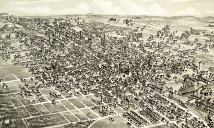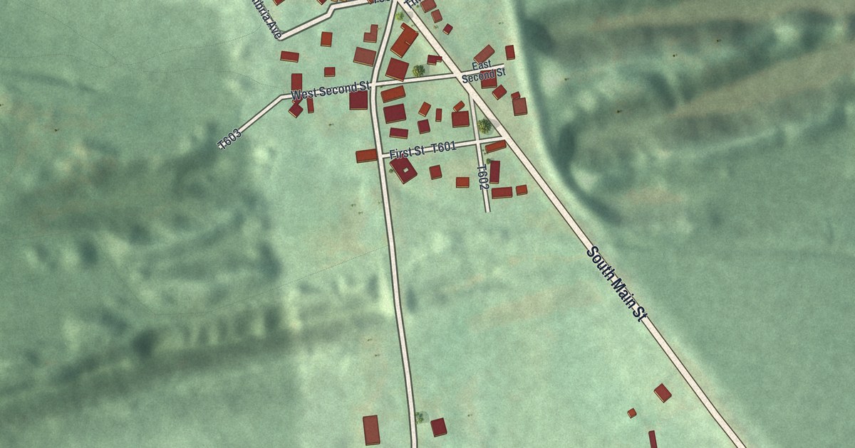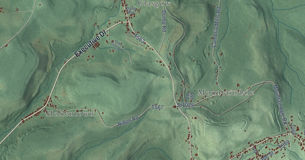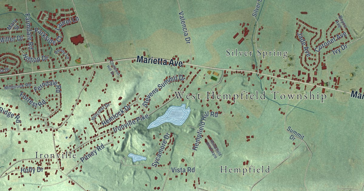
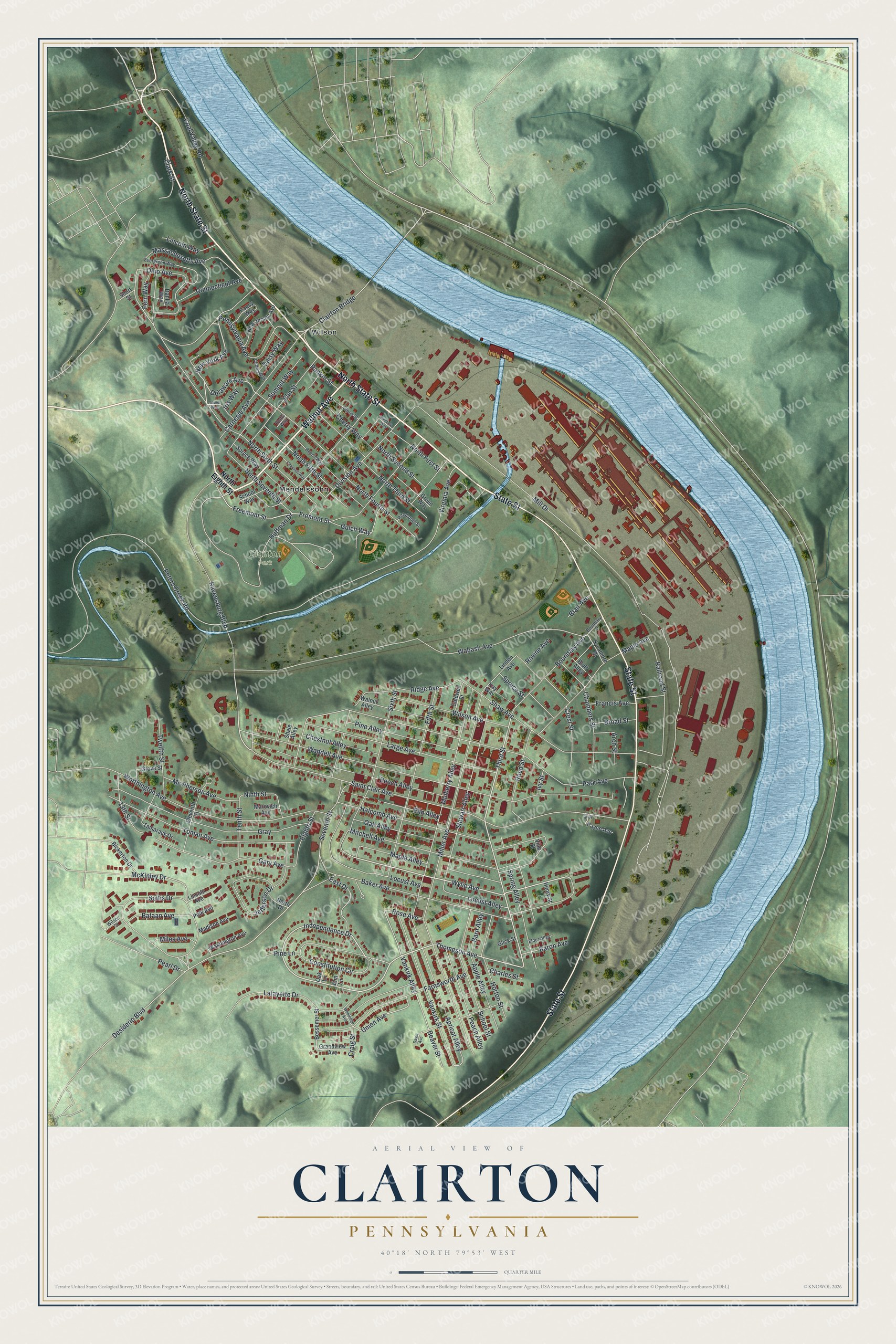
This beautifully detailed map of Clairton, Pennsylvania was created in 2026 using aerial imagery combined with modern topographical, census, street and landmark data. It’s a one-of-a-kind view of Clairton that combines accurate data with a vintage aesthetic. The map shows every building in its true location, many of the roads carry their names, and the shaded topographic relief shows the shape of the land.
Explore an aerial view of Clairton, Pennsylvania
On the map you’ll find Clairton Park, Mendelssohn, and Wilson, along with North State Street, Walnut Avenue, State Street, Thompson Avenue, Third Street, Wylie Avenue, Independence Drive, Ravensburg Boulevard, New York Avenue, and more. If you look closely you can even find your house accurately drawn in its correct location. Zoom in on the preview to look for yours.
Did you know this piece of Clairton, Pennsylvania history?
Clairton began just after 1900, when Crucible Steel bought a large tract on the Monongahela River. Carnegie Steel soon built a steel mill and coke plant there, and it grew into one of the world’s largest. Clairton became a borough in 1903. Its coke works is still the largest in North America.
Take a closer look at the Clairton map
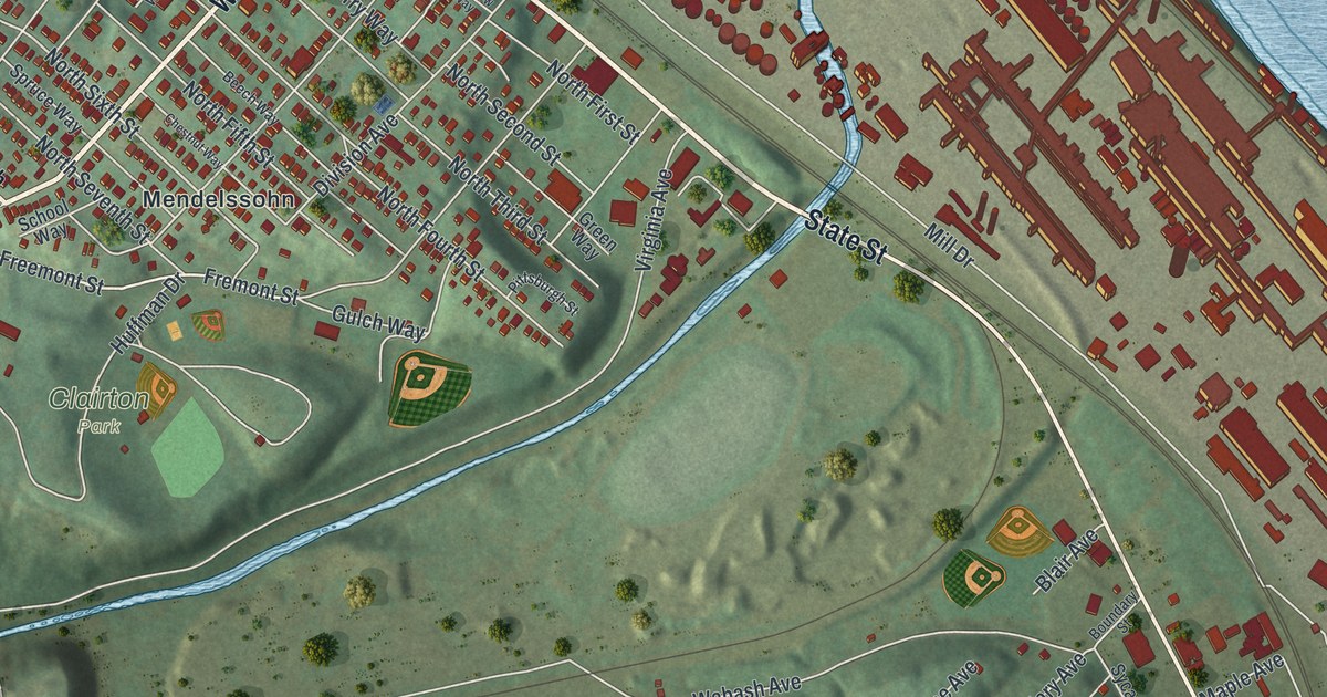
Street and place names on the Clairton, Pennsylvania map
These names are printed on the map of Clairton, Pennsylvania.
Places: Clairton Park, Mendelssohn and Wilson.
Streets and roads: North State Street, Walnut Avenue, State Street, Thompson Avenue, Third Street, Wylie Avenue, Independence Drive, Ravensburg Boulevard, New York Avenue, Tenth Street, Delaware Avenue, McKinley Drive.
More street names, A to Z
13th Street, Apple Alley, Apricot Alley, Arch Street, Baker Avenue, Barn Alley, Baron Avenue, Bataan Avenue, Beaver Street, Beech Alley, Beech Way, Bessemer Street, Bickerton Drive, Blair Avenue, Bluff Alley, Boundary Avenue, Boundary Street, Broad Street, Caldwell Street, Carnegie Avenue, Chambers Street, Charles Street, Cherry Way, Chestnut Alley, Chestnut Way, Clairton Bridge, Clark Street, Clifton Way, Coal Valley Road, Connecticut Avenue, Constitution Circle, Craig Street, Crest Street, Dahlia Way, Daisy Way, Davis Avenue, Desiderio Boulevard, Division Avenue, East Drive, Eighth Street, Elder Alley, Eleventh Street, Elm Alley, Elm Lane, Elm Street, Evergreen Way, Farnsworth Avenue, Fern Way, Fifth Street, Francis Avenue, Freemont Street, Fremont Street, Gary Avenue, Glenn Street, Glick Street, Grandview Avenue, Gray, Green Way, Grove Street, Gulch Way, Halcomb Avenue, Henry Street, Hill Street, Home Way, Horton Street, Huffman Drive, Iris Way, Ivy Street, Jefferson Drive, Kay Way, Lafayette Drive, Large Avenue, Laurel Way, Lincoln Avenue, Lincoln Way, Linden Avenue, Locust Alley, Locust Avenue, Madison Avenue, Maple Alley, Maple Avenue, Marovich Avenue, Massachusetts Avenue, Mc Pherson Avenue, Miles Avenue, Mill Drive, Miller Avenue, Mitchell Avenue, Mulberry Alley, New Jersey Avenue, Ninth Street, North Drive, North Eighth Street, North Fifth Street, North First Street, North Fourth Street, North Second Street, North Seventh Street, North Sixth Street, North Third Street, Oak Alley, Oak Lane, Ohio Avenue, Pansy Way, Park Avenue, Payne Avenue, Peach Alley, Pearl Drive, Pennsylvania Avenue, Peters Creek Road, Pine Alley, Pine Lane, Pittsburgh Street, Polk Avenue, Railroad Street, Rainbow Way, Rankin Street, Ravine Avenue, Reed Street, Ridge Avenue, Rose Avenue, Saint Clair Avenue, School Street, School Way, Seventh Street, Shale Alley, Shaw Avenue, Short Street, Sixth Street, Soltis Drive, Spring Alley, Spruce Street, Spruce Way, Stewart Alley, Summit Way, Sycamore Street, Tamarack Drive, Toman Avenue, Twelfth Street, Union Avenue, Vankirk Alley, Vankirk Street, Vine Street, Virginia Avenue, Wabash Avenue, Waddell Avenue, Walnut Alley, Washington Avenue, Wilson Avenue, Wilson Court, Woolridge Avenue, Worthington Avenue.
See the Clairton, Pennsylvania map on a wall
The Clairton map as an 18 x 24 inch print in a black frame.

This beautifully detailed map of Clairton makes an attractive addition to your office, library, or den, and it can even be used to teach children the geography and history of the area. It also makes a great gift for someone who left Clairton and still calls it home. When you’re done exploring, click here to get your copy of the Clairton map.