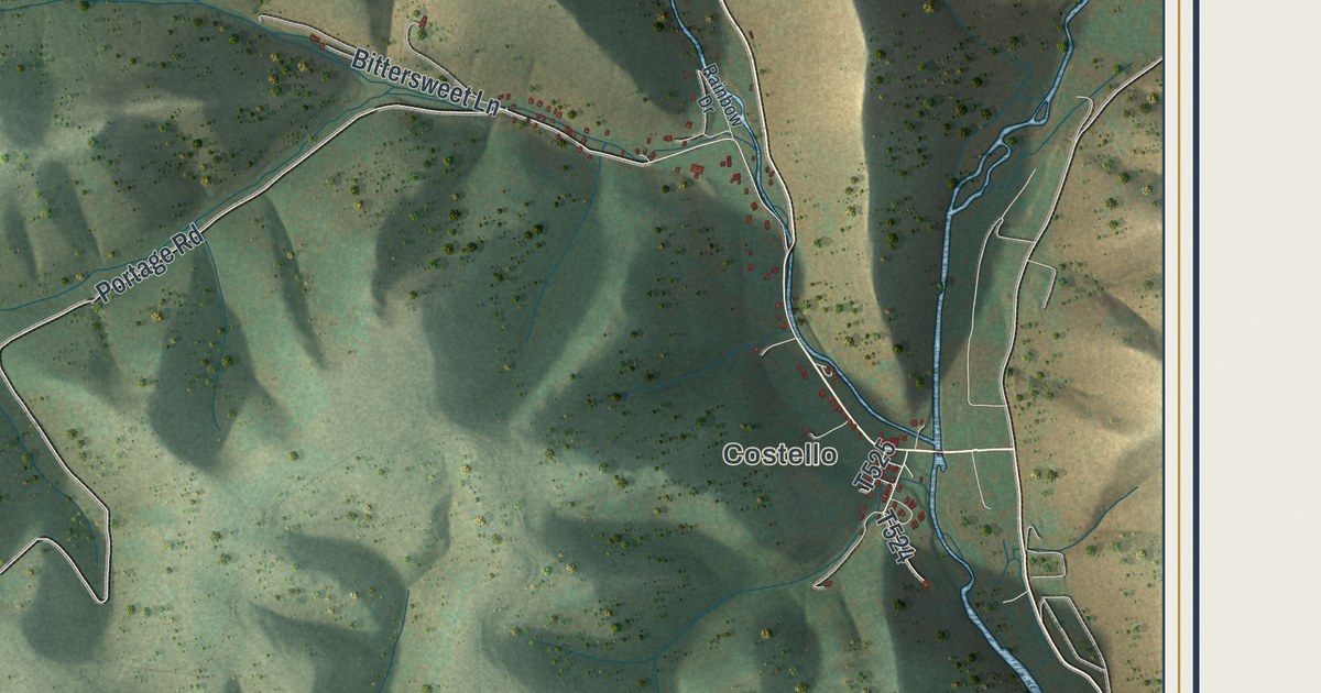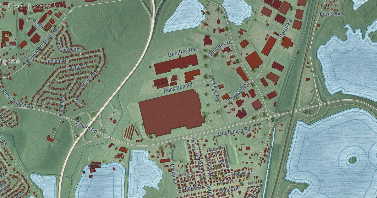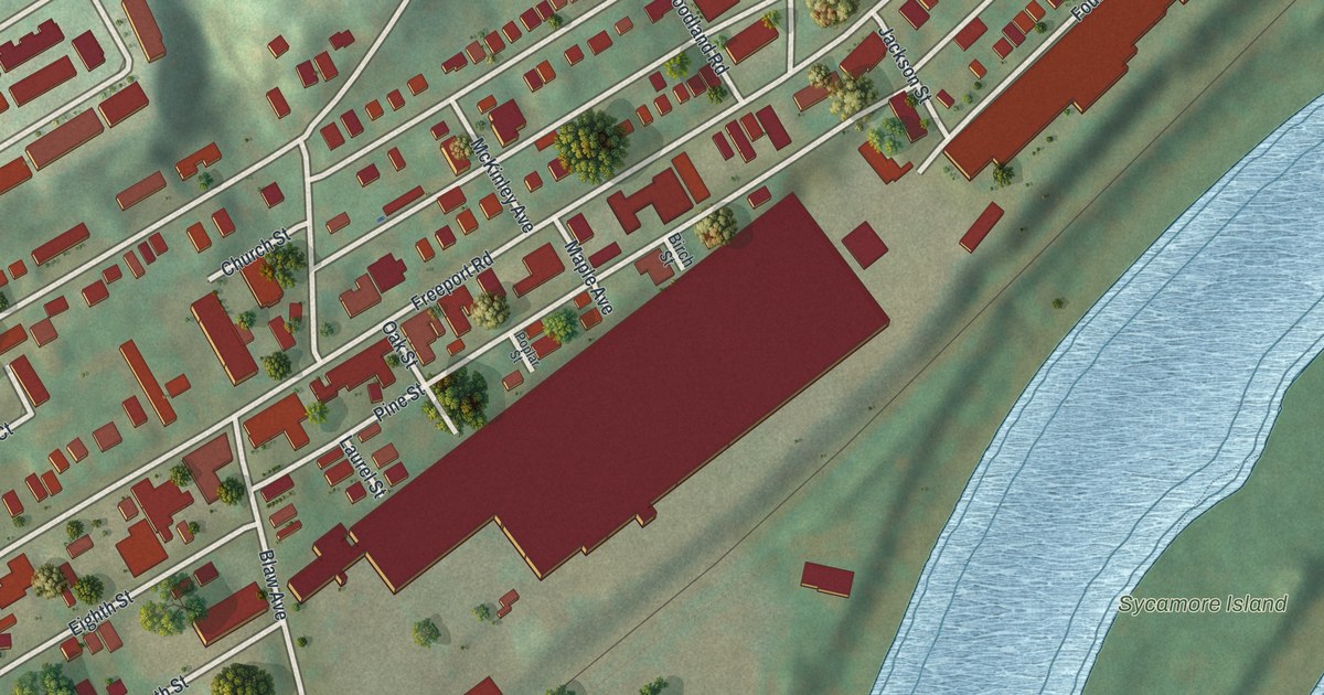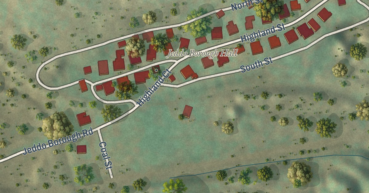
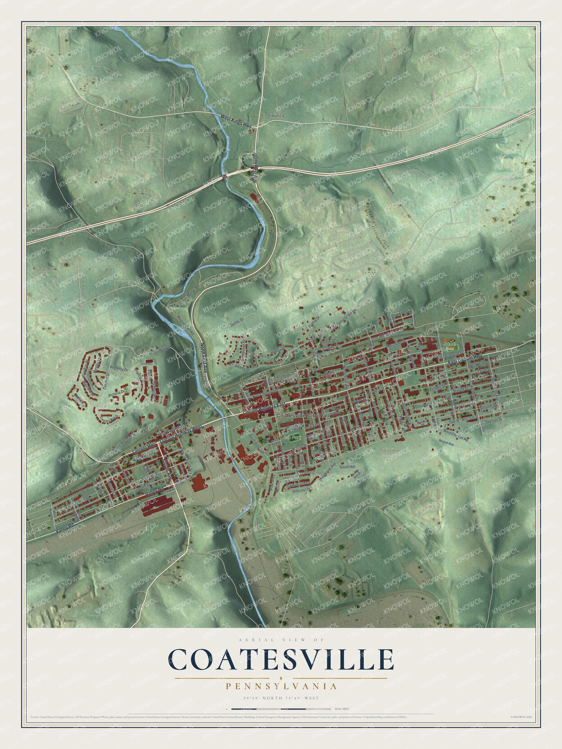
This beautifully detailed map of Coatesville, Pennsylvania was created in 2026 using aerial imagery combined with modern topographical, census, street and landmark data. It’s a one-of-a-kind view of Coatesville that combines accurate data with a vintage aesthetic. The map shows every building in its true location, many of the roads carry their names, and the shaded topographic relief shows the shape of the land.
Explore an aerial view of Coatesville, Pennsylvania
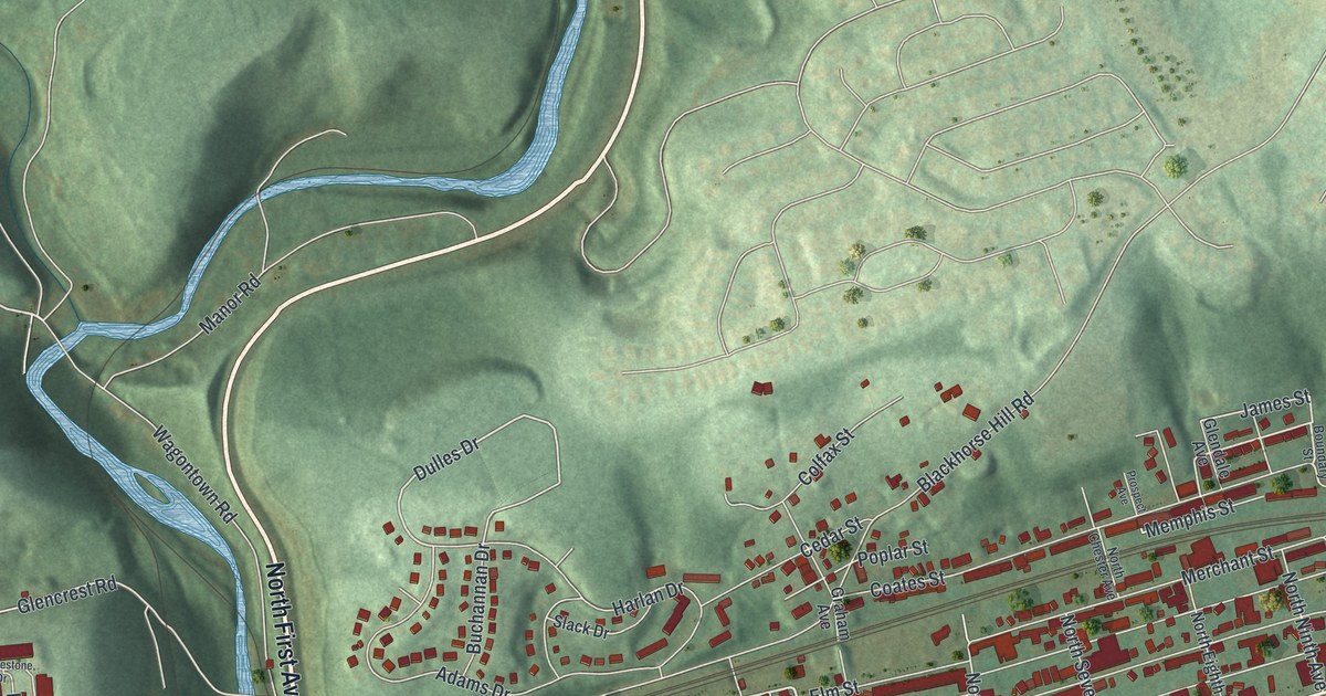
On the map you’ll find Coatesville City Hall, Fairview Cemetery, Ash Park, Scott Field, and Siousca, along with Lincoln Highway East, Lincoln Highway West, Strode Avenue, North First Avenue, Lincoln Highway, East Lincoln Highway, Valley Road, and more. If you look closely you can even find your house accurately drawn in its correct location. Zoom in on the preview to look for yours.
Did you know this piece of Coatesville, Pennsylvania history?
From the 1881 History of Chester County, Pennsylvania: "The noted marauder during the Revolutionary war, James Fitzpatrick, had one of his hiding-places at what was known as Hand's Pass, a gap in the North Valley Hill, a short distance west of Coatesville, near where the Philadelphia and Lancaster turnpike leaves the valley."
Take a closer look at the Coatesville map
Street and place names on the Coatesville, Pennsylvania map
These names are printed on the map of Coatesville, Pennsylvania.
Places: Coatesville City Hall, Fairview Cemetery, Ash Park, Scott Field and Siousca.
Streets and roads: Lincoln Highway East, Lincoln Highway West, Strode Avenue, North First Avenue, Lincoln Highway, East Lincoln Highway, Valley Road, West Kings Highway, North Fifth Avenue, Fleetwood Street, Dulles Drive, Poplar Street.
More street names, A to Z
Adams Drive, Ash Court, Belmont Street, Blackhorse Hill Road, Boundary Street, Buchannan Drive, Buttonwood Street, Cedar Street, Charles Street, Charlotte Street, Chester Avenue, City Hall Place, City Line Avenue, Coates Street, Cobblestone Drive, Colfax Street, Colina Lane, Community Lane, Concord Street, Coronet Drive, Country Run Drive, Dewey Alley, Division Alley, East Chestnut Street, East Diamond Street, East Harmony Street, East Valley Road, Elm Street, Flint Drive, Francis Drive, Franklin Street, Fulton Street, Glencrest Road, Glendale Avenue, Graham Avenue, Harlan Drive, Harmony Street, High Street, Hillcrest Drive, Hope Avenue, James Street, Juniper Street, Kersey Street, Lemon Street, Lime Street, Lumber Street, Madison Street, Manor Road, Marquis Drive, Mary Street, Mayfield Drive, Memphis Street, Merchant Street, Millview Drive, Modena Alley, Monroe Street, Mount Pleasant Street, New Street, North Chester Avenue, North Eighth Avenue, North Eleventh Avenue, North Fourth Avenue, North Ninth Avenue, North Second Avenue, North Seventh Avenue, North Sixth Avenue, North Tenth Avenue, North Third Avenue, Oak Street, Olive Street, Palmer Avenue, Park Alley, Pearl Alley, Pennsylvania Avenue, Penrose Lane, Pine Alley, Plum Street, Prospect Avenue, Regency Drive, Ridge Avenue, Rosemont Avenue, Saginaw Drive, Sansom Street, Slack Drive, South 13th Avenue, South Church Street, South Eighth Avenue, South Eleventh Avenue, South Fifth Avenue, South First Avenue, South Fourth Avenue, South Hill, South Hill Drive, South Sixth Avenue, South Tenth Avenue, South Third Avenue, South Twelfth Avenue, Spencer Street, Spenser Street, Spring Alley, Spruce Street, Star Alley, Stirling Street, Summers Lane, Thompson Place, Union Avenue, Victoria Drive, Virginia Avenue, Wagontown Road, Walnut Street, Water Street, Wayne Avenue, Wesley Lane, West Chester Road, West Diamond Street, West Eighth Avenue, West Harmony Street, West Maple Avenue, West Ninth Street, West Oak Street, West Sixth Avenue, White Alley, Wickford Road, Willow Alley, Woodland Avenue.
See the Coatesville, Pennsylvania map on a wall
The Coatesville map as an 18 x 24 inch print in a black frame.

This beautifully detailed map of Coatesville makes an attractive addition to your office, library, or den, and it can even be used to teach children the geography and history of the area. It also makes a great gift for anyone with Coatesville roots. When you’re done exploring, click here to get your copy of the Coatesville map.