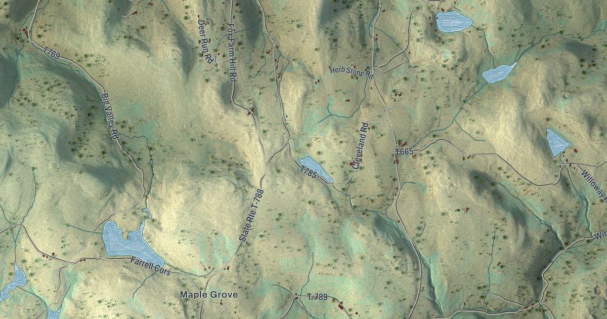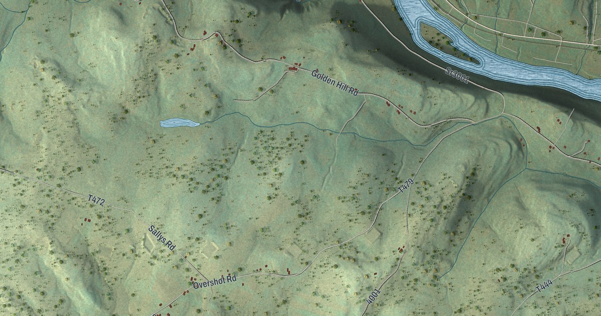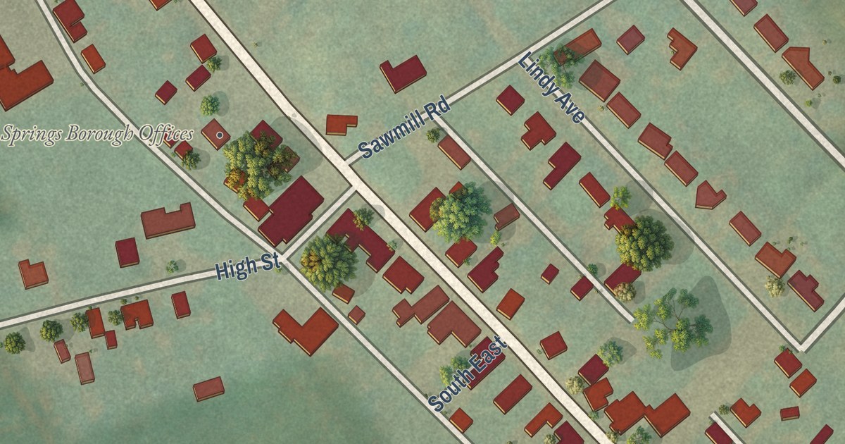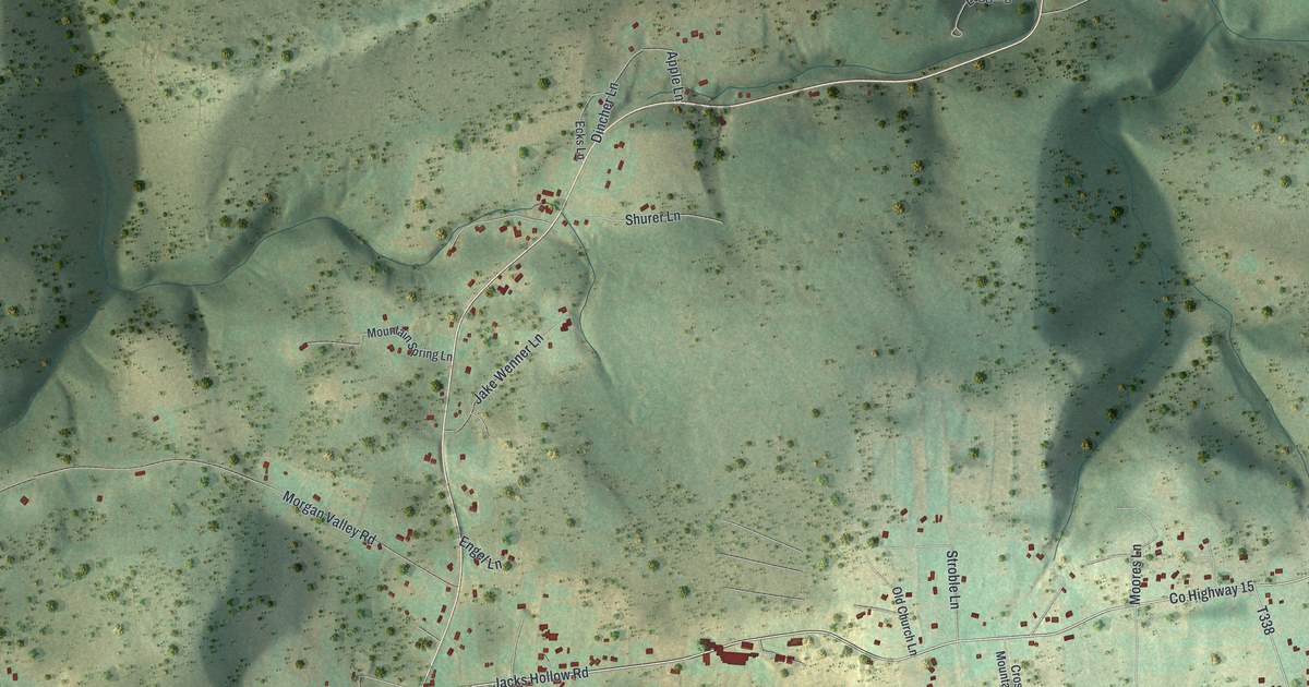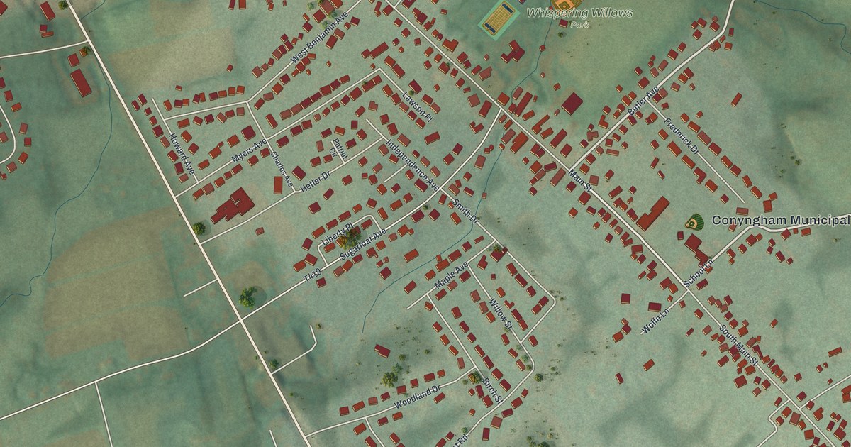
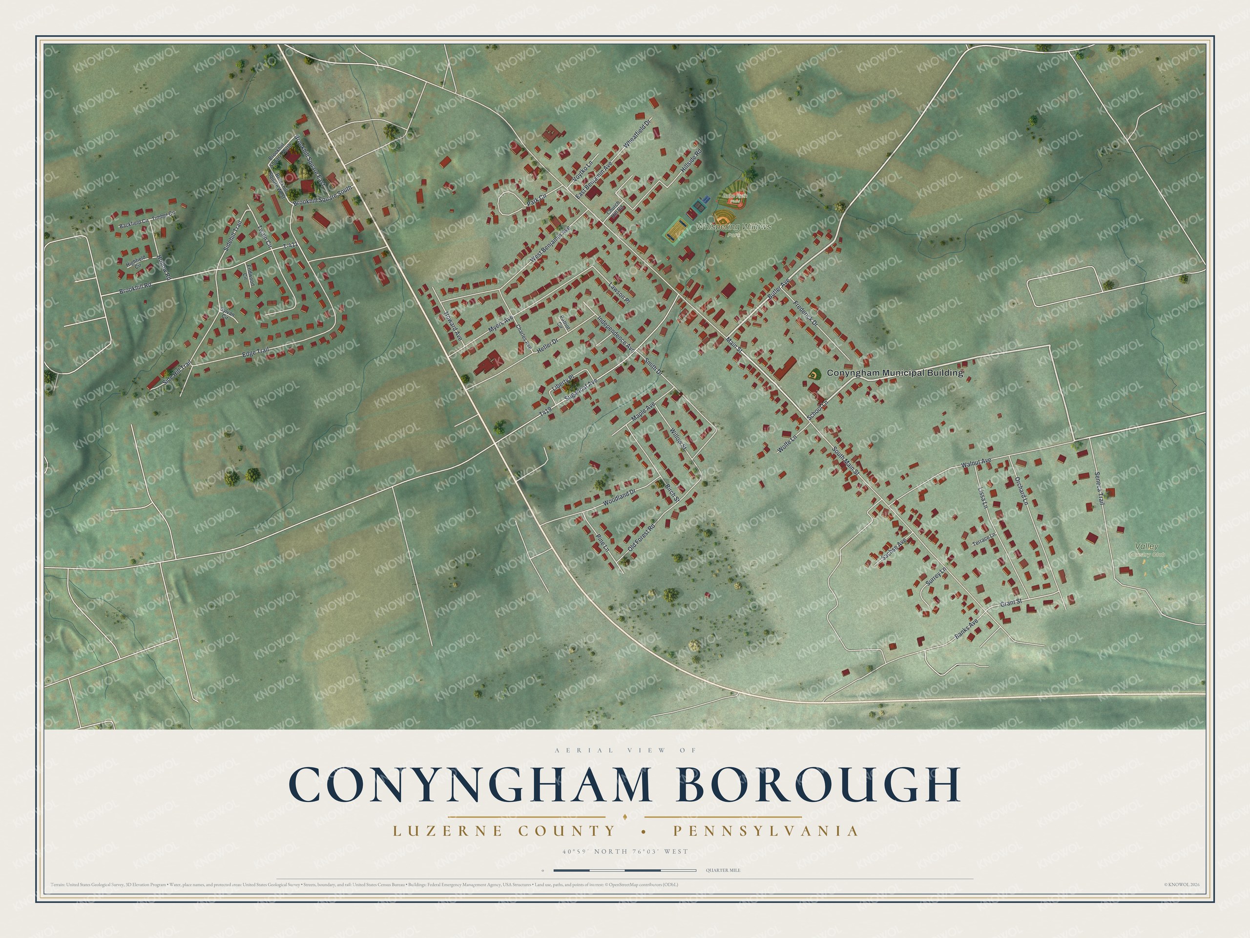
This beautifully detailed map of Conyngham Borough, Luzerne County, Pennsylvania was created in 2026 using aerial imagery combined with modern topographical, census, street and landmark data. It’s a one-of-a-kind view of Conyngham Borough that combines accurate data with a vintage aesthetic. The map shows every building in its true location, many of the roads carry their names, and the shaded topographic relief shows the shape of the land.
Explore an aerial view of Conyngham Borough, Luzerne County, Pennsylvania
On the map you’ll find Conyngham Municipal Building, Whispering Willows Park, Valley Country Club, and Babe Ruth Field, along with School Lane, Butler Avenue, Main Street, Grant Street, South Main Street, Brookhill Road, Edge Trail, Sidehill Trail, and more. If you look closely you can even find your house accurately drawn in its correct location. Zoom in on the preview to look for yours.
Did you know this piece of Conyngham Borough, Luzerne County, Pennsylvania history?
From the History of Luzerne County: "The village was named for Capt. Gustavus Conyngham, who commanded a privateer during the Revolution, who first carried the American flag into the English channel."
Take a closer look at the Conyngham Borough, Luzerne County map
Street and place names on the Conyngham Borough, Luzerne County, Pennsylvania map
These names are printed on the map of Conyngham Borough, Luzerne County, Pennsylvania.
Places: Conyngham Municipal Building, Whispering Willows Park, Valley Country Club and Babe Ruth Field.
Streets and roads: School Lane, Butler Avenue, Main Street, Grant Street, South Main Street, Brookhill Road, Edge Trail, Sidehill Trail, Walnut Avenue, Sugarloaf Avenue, T-411, West Benjamin Avenue.
More street names, A to Z
Backfield Circle, Banks Avenue, Birch Street, Brookhill Square East, Brookhill Square North, Brookhill Square South, Brookhill Square West, Charles Avenue, Church Hill Road, East Benjamin Avenue, Endwood Circle, Frederick Drive, Hetler Drive, Highfield Circle, Hillside Road, Hollow Road, Howard Avenue, Independence Avenue, Lawson Place, Liberty Place, Lissa Lane, Maple Avenue, Myers Avenue, Old Forest Road, Orchard Lane, Park Circle, Patriot Circle, Pine Lane, Sachse Avenue, Seneca Trail, Side Hill Trail, Smith Drive, Surrey Lane, Sylvan Circle, Terrace Lane, Timber Circle, Twain Circle, Voytko Lane, Wheatfield Drive, Willow Street, Wolfe Lane, Woodland Drive.
See the Conyngham Borough, Luzerne County, Pennsylvania map on a wall
The Conyngham Borough, Luzerne County map as an 18 x 24 inch print in a black frame.

This beautifully detailed map of Borough of Conyngham, Luzerne County makes an attractive addition to your office, library, or den, and it can even be used to teach children the geography and history of the area. It also makes a great gift for anyone with Conyngham Borough roots. When you’re done exploring, click here to get your copy of the Borough of Conyngham, Luzerne County map.