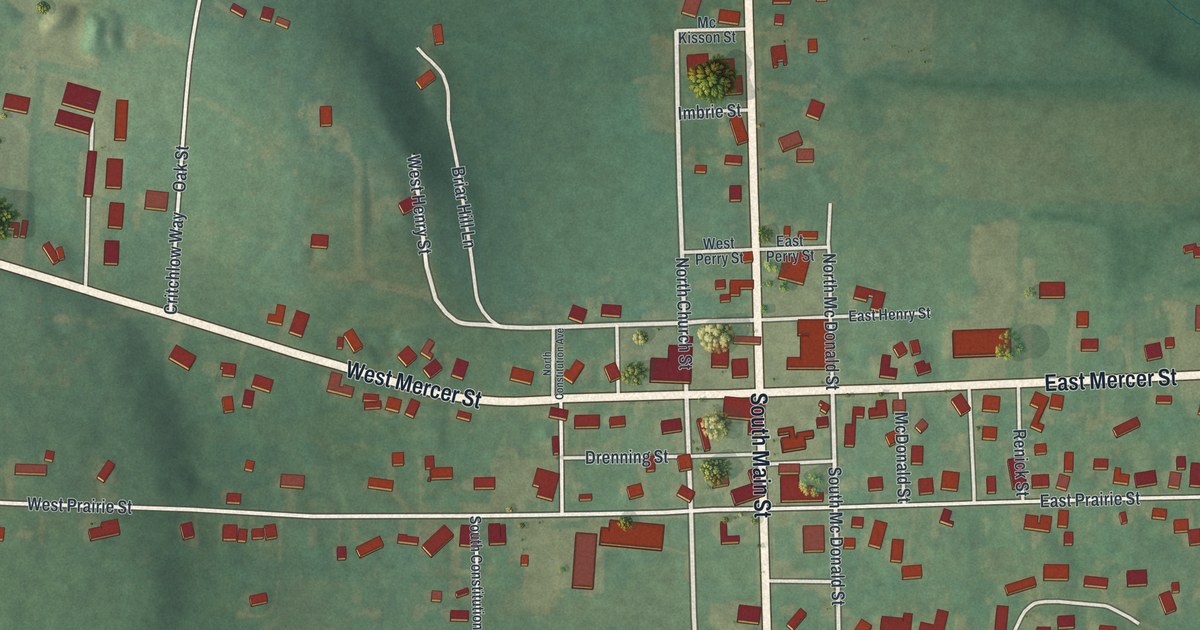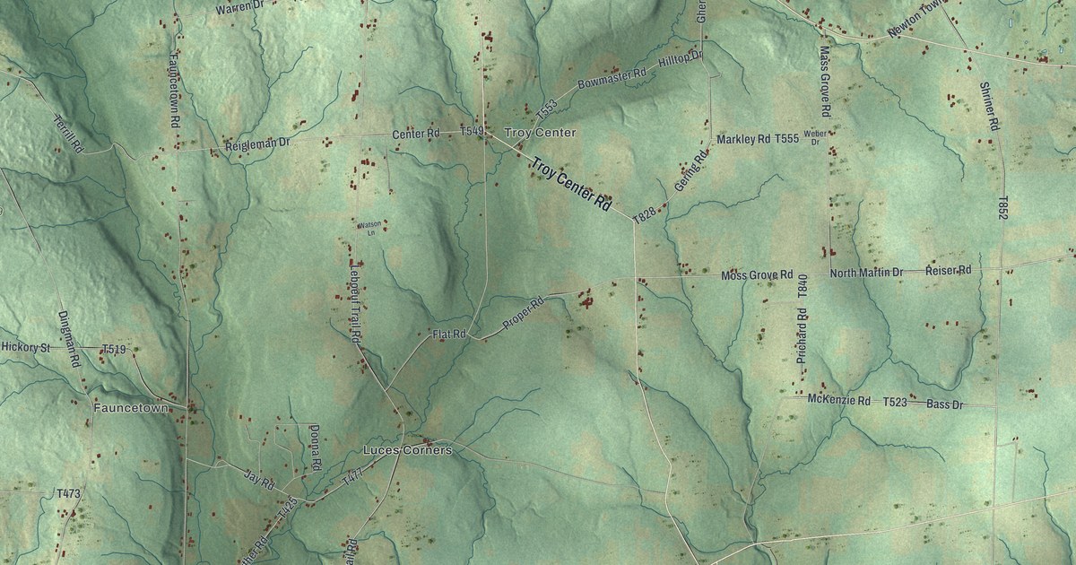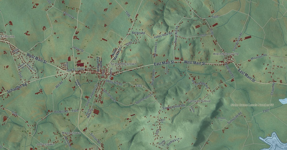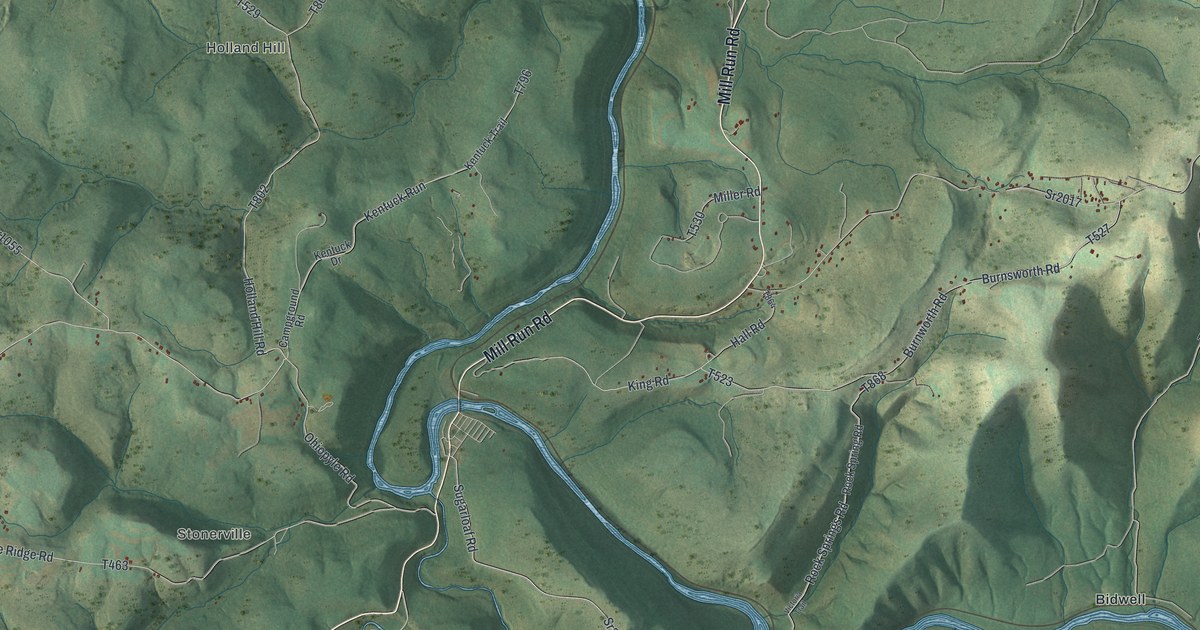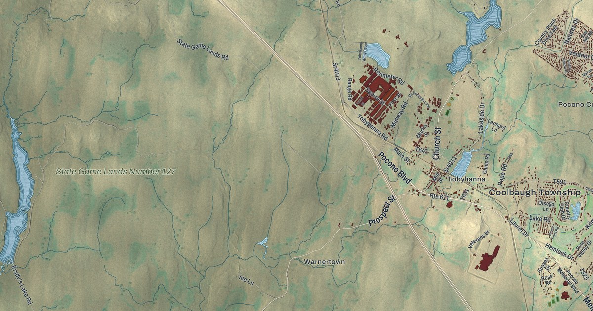
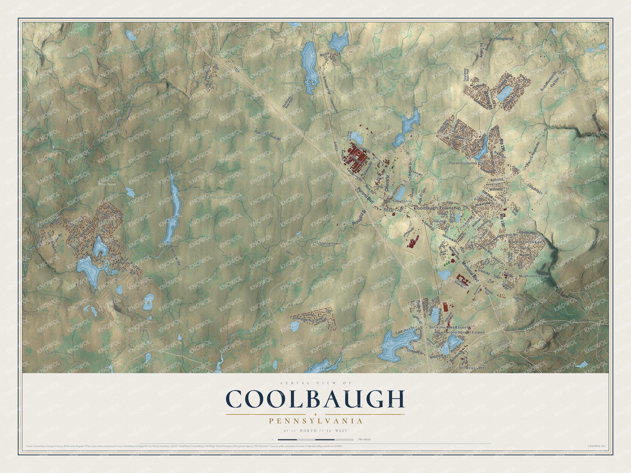
This beautifully detailed map of Coolbaugh, Pennsylvania was created in 2026 using aerial imagery combined with modern topographical, census, street and landmark data. It's a modern aerial view of Coolbaugh in Monroe County, Pennsylvania, that combines modern data with a vintage aesthetic. The roads feature printed names, and if you look closely you can find your exact house accurately shown in its correct location.
Explore an aerial view of Coolbaugh, Pennsylvania
On this map you'll find Coolbaugh Township, Gouldsboro State Park, Pinchot State Forest, State Game Lands Number 127, Mushroom Farms, Pocono Country Place, Pocono Farms East, Pocono Summit Estates, Stillwater Lake Estates, Stillwater Lakes, Tobyhanna, Warnertown, and more. Each red shape is a building, so zoom in on the preview and look for yours.
Every town has a first chapter, and Coolbaugh is no exception. The Internet Archive puts it this way: "- Tobyhanna Mills, the largest vil-
lage in this section of the country, is pleasantly lo-
cated near the centre of Coolbaugh township."
Coolbaugh is a place in Monroe County. The Census Bureau counted 20,805 people here in 2020.
Take a closer look at the Coolbaugh map
Names on this map
These names are printed on this map.
Places: Coolbaugh Township, Gouldsboro State Park, Pinchot State Forest, State Game Lands Number 127, Mushroom Farms, Pocono Country Place, Pocono Farms East, Pocono Summit Estates, Stillwater Lake Estates, Stillwater Lakes, Tobyhanna, Warnertown, Tobyhanna State Park and Mount Pocono Airport.
Streets and roads: Memorial Boulevard, Pocono Boulevard, Church Street, Prospect Street, Sterling Road, Route 196, Country Place Drive, Ventnor Drive, Locust Ridge Road, Lakeside Drive, Sr4011, Lakeshore Drive.
More street names, A to Z
Angels Road, Apache Trail, Ash Drive, Bear Lane, Beaver Dam Trail, Belmont Avenue, Birch Lane, Bircwood Boulevard, Brady's Lake Road, Brentwood Drive, Briarwood Drive, Buck Run, Bush Mountain Drive, Cambell Way, Camp Road, Carlton Road, Choctaw Drive, Conestoga Trail, Country Club Drive, Country Place Drive East, Delaware Drive, Dorset Road, Echo Lake Road, Edgewood Road, Elk Lane, Fern Drive, First Street, Forest Drive, Forest Lane, Fourth Street, Fox Trail, Gallagher Road, Glen Circle Drive, Goose Pond Road, Green Road, Halsey Place, Hamlet Drive, Hemlock Drive, Hickory Road, Holiday Drive, Horned Owl Lane, Horseshoe Bend, Hunter Drive, Ice Lane, Idlewild Drive, Ind Park Drive North, Industrial Park Drive, Juniper Drive, Kilmer Road, Kings Way, Knollwood Drive, Kolb Court, Lake Road, Lake Shore Drive, Lakeview Drive, Laurel Drive, Lehigh Drive, Lenape Lane, Leonard Lane, Leslie Way, Little Billy Lane, Main Street, Martin Street, Marvin Terrace, Maxatawny Drive, Mazurik Lane, Mc Donough Loop, McNamara Lane, Meadow Lane, Midway Road, Mill Street, Minisink Court, Minisink Drive, Mountain Drive, Nadine Boulevard, Nadine Lane, Natures Drive, North Arrow Drive, Oak View Lane, Orono Drive, Otsego Lane, Outer Drive, Owassa Drive, Park Avenue, Park Drag, Park Terrace, Paul Bunyan Road, Paxinos Drive, Pembrook Drive, Perimeter Road, Pine Valley Drive, Pioneer Trail, Pocono Frst, Pocono Heights Road, Pocono Memorial Boulevard, Pontiac Path, Pope Road, Poplar Drive, Post Road, Presidential Drive, Quick Island Road, Railroad Avenue, Range Road, Ridge Road, River Court, Riverside Lane, Robert David Drive, Rolling Hills Drive, Ross Road, Route 611, Ryans Road, Safro Court, Sandy Lane, Saw Mill Road, Seneca Drive, Seneca Way, Seven Nations Drive, Simmons Road, Sleepy Hollow Drive, Spring Lane, Spruce Drive, Squire Street, Sr4013, Stag Run, State Game Lands Road, Stillwater Drive, Stony Circle, Stout Drive, Summit Avenue, Sunset Drive, Sunshine Lane, Sussex Drive, Teepee Trail, Titania Road, Toby Hana Road, Tobyhanna Army Depot, Tobyhanna Road, Veterans Drive, Vine Terrace, Wigwam Way, Wildflower Drive, Wilson Court, Winding Way, Winnebago Drive, Winona Path, Woodland Drive.
Created by KNOWOL in 2026. The buildings are small red shapes, the roads carry their printed names, and shaded relief shows the shape of the land. The title panel reads "AERIAL VIEW OF COOLBAUGH PENNSYLVANIA" with 4, 1, °, 1, 0, ', , N, O, R, T, H, , 7, 5, °, 2, 4, ', , W, E, S, T.
Hang it in the hallway, the office or the cabin, or give it to someone who left Coolbaugh and still calls it home. Open the preview and look for a street you know. See sizes and frames for the Coolbaugh map.