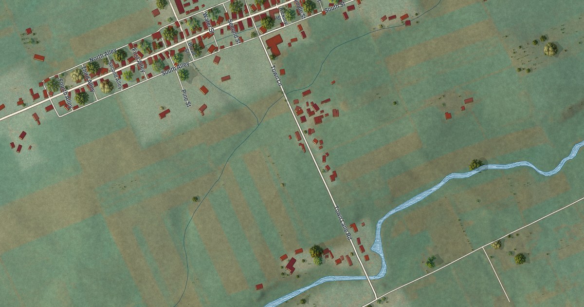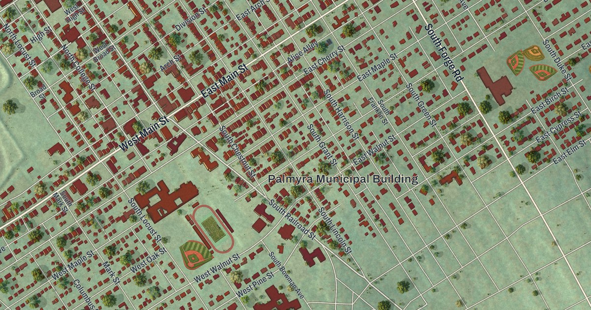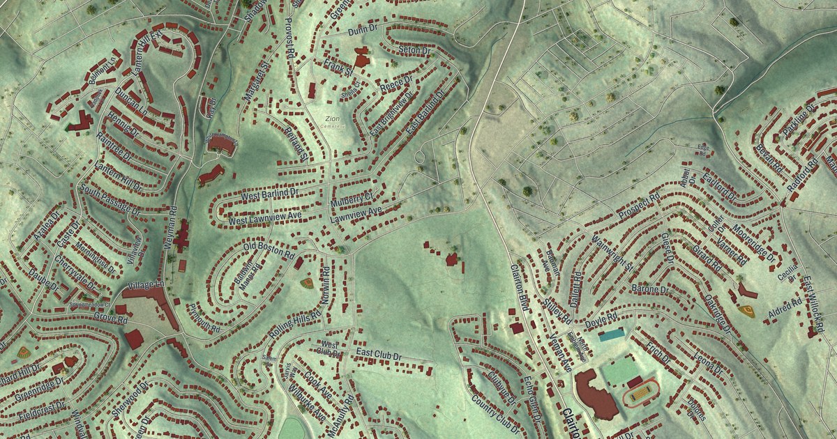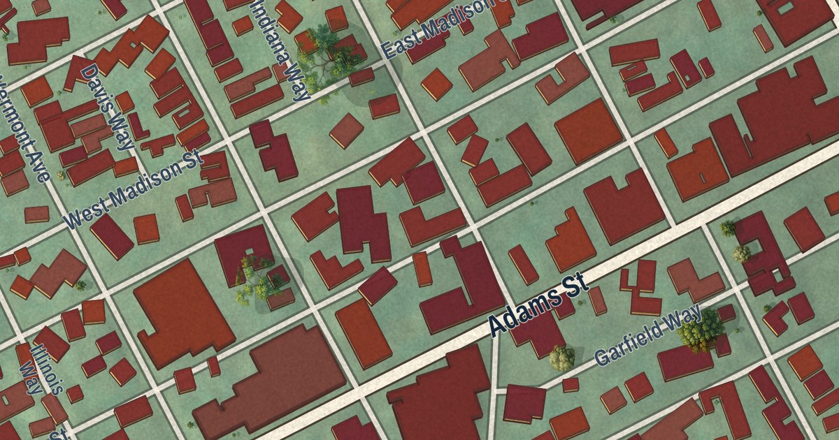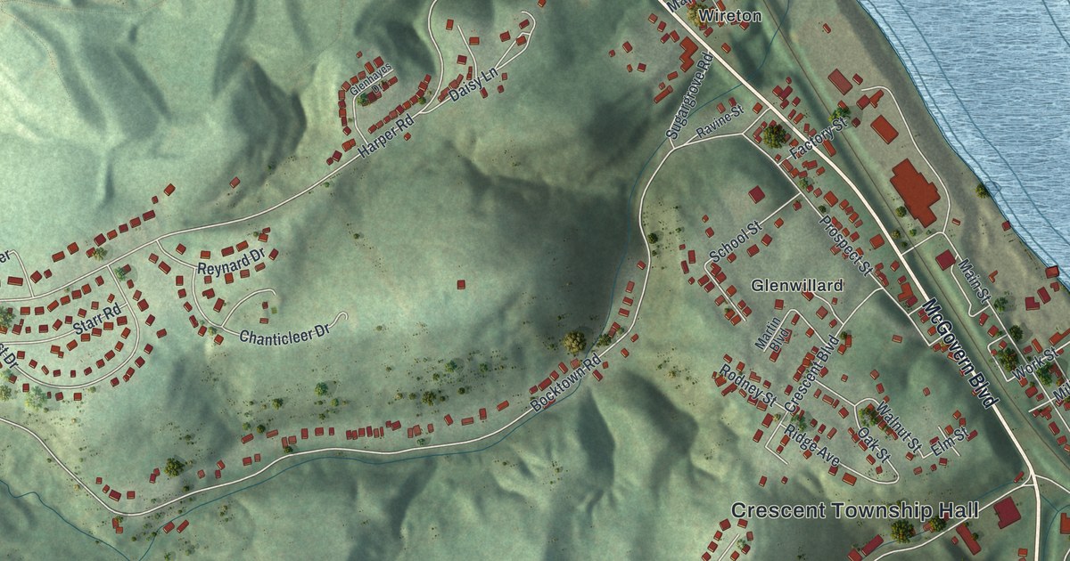
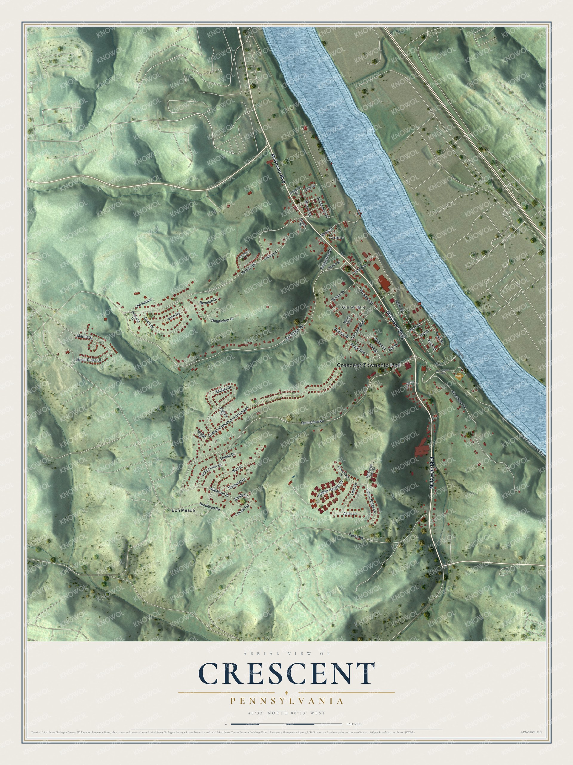
This beautifully detailed map of Crescent, Pennsylvania was created in 2026 using aerial imagery combined with modern topographical, census, street and landmark data. It’s a one-of-a-kind view of Crescent that combines accurate data with a vintage aesthetic. The map shows every building in its true location, many of the roads carry their names, and the shaded topographic relief shows the shape of the land.
Explore an aerial view of Crescent, Pennsylvania
On the map you’ll find Crescent Township Hall, Shouse Park, Bon Meade, Glenwillard, and Wireton, along with McGovern Boulevard, Laurel Ridge Lane, Front Street, Work Street, Bocktown Road, Spring Run Road, Harper Road, and more. If you look closely you can even find your house accurately drawn in its correct location. Zoom in on the preview to look for yours.
Did you know this piece of Crescent, Pennsylvania history?
From the History of Allegheny County: "James W. Biddle, R. Patterson and C. L. McGee, commissioners to whom the matter was referred, having reported favorably at the June sessions, 1855, the court, under date of November 17, 1855, issued a decree erecting Crescent township, with its present boundaries."
Take a closer look at the Crescent map
Street and place names on the Crescent, Pennsylvania map
These names are printed on the map of Crescent, Pennsylvania.
Places: Crescent Township Hall, Shouse Park, Bon Meade, Glenwillard and Wireton.
Streets and roads: McGovern Boulevard, Laurel Ridge Lane, Front Street, Work Street, Bocktown Road, Spring Run Road, Harper Road, Riverview Road, Crescent Boulevard Extended, Dashields Lock Road, Main Street, Sautter Drive.
More street names, A to Z
Anderson Street, Aster Lane, Bigelow Drive, Brodhead Road, Chanticleer Drive, Cloverdale Lane, Crescent Boulevard, Crest Drive, Daisy Lane, Elm Street, Erie Street, Factory Street, Glenhayes Drive, Hart Drive, Heather Heights Drive, Henggi Drive, Hindmarch Street, Hunts Ridge Drive, Jackson Street, Jennette Street, Keim Street, Lilac Lane, Locust Road, Louisa Drive, Maple Street, Marble Street, Margaret Drive, Martin Boulevard, McCutcheon Way, McKee Road, Mill Street, Moxon Street, Oak Street, Old Harper, Parkwood Point Drive, Primrose Lane, Prospect Street, Purdy Road, Ravine Street, Reynard Drive, Ridge Avenue, Rodney Street, School Street, Shady Drive, Starr Road, Sugargrove Road, Valley View Drive, Walnut Street.
See the Crescent, Pennsylvania map on a wall
The Crescent map as an 18 x 24 inch print in a black frame.

This beautifully detailed map of Crescent makes an attractive addition to your office, library, or den, and it can even be used to teach children the geography and history of the area. It also makes a great gift for anyone who grew up in Crescent or moved away. When you’re done exploring, click here to get your copy of the Crescent map.