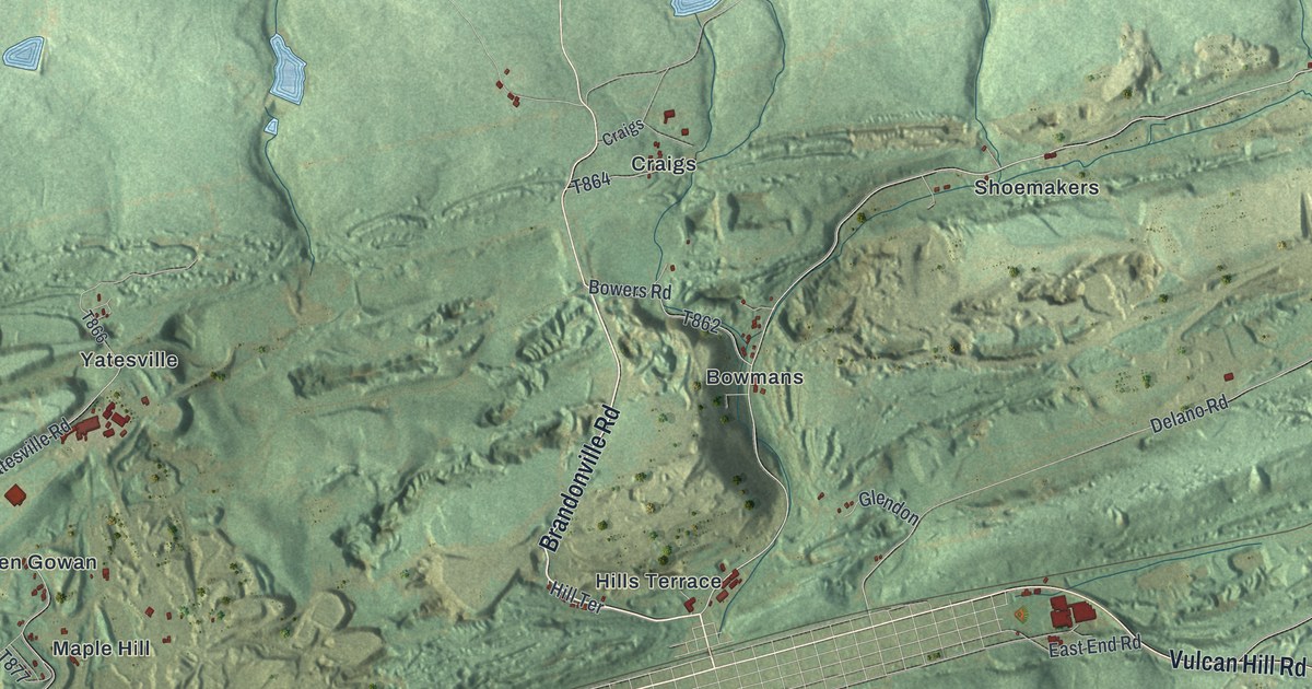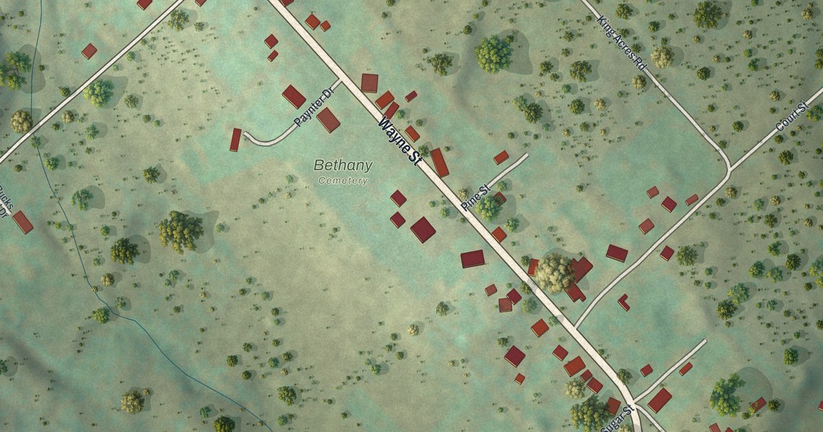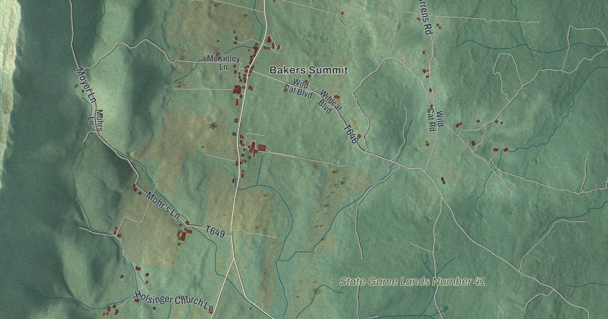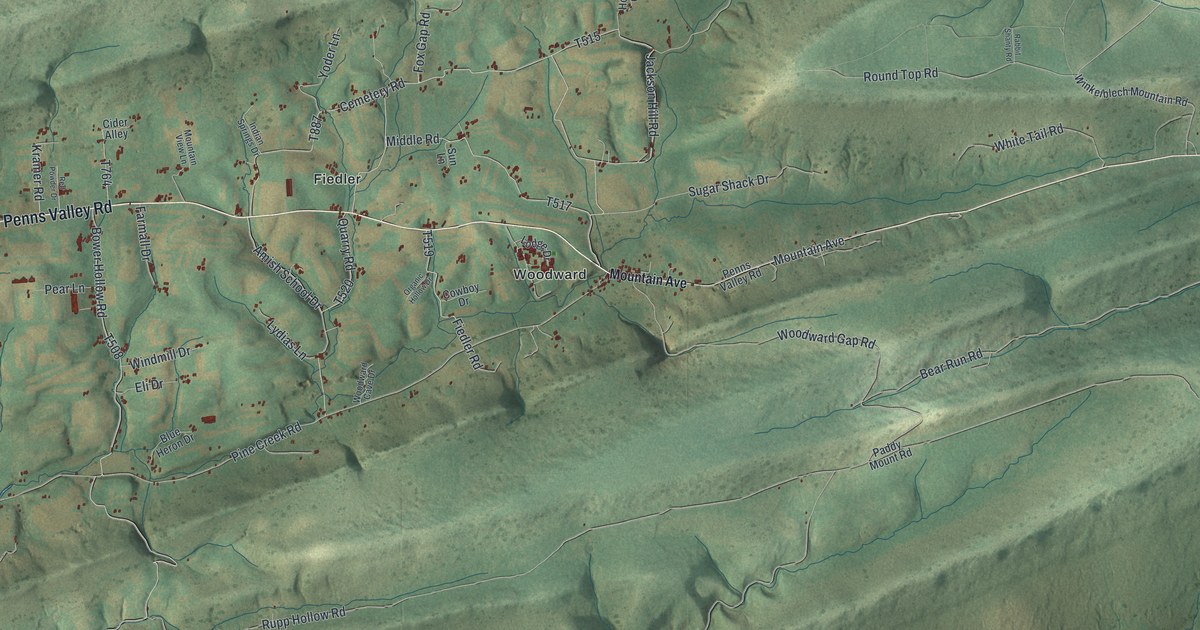
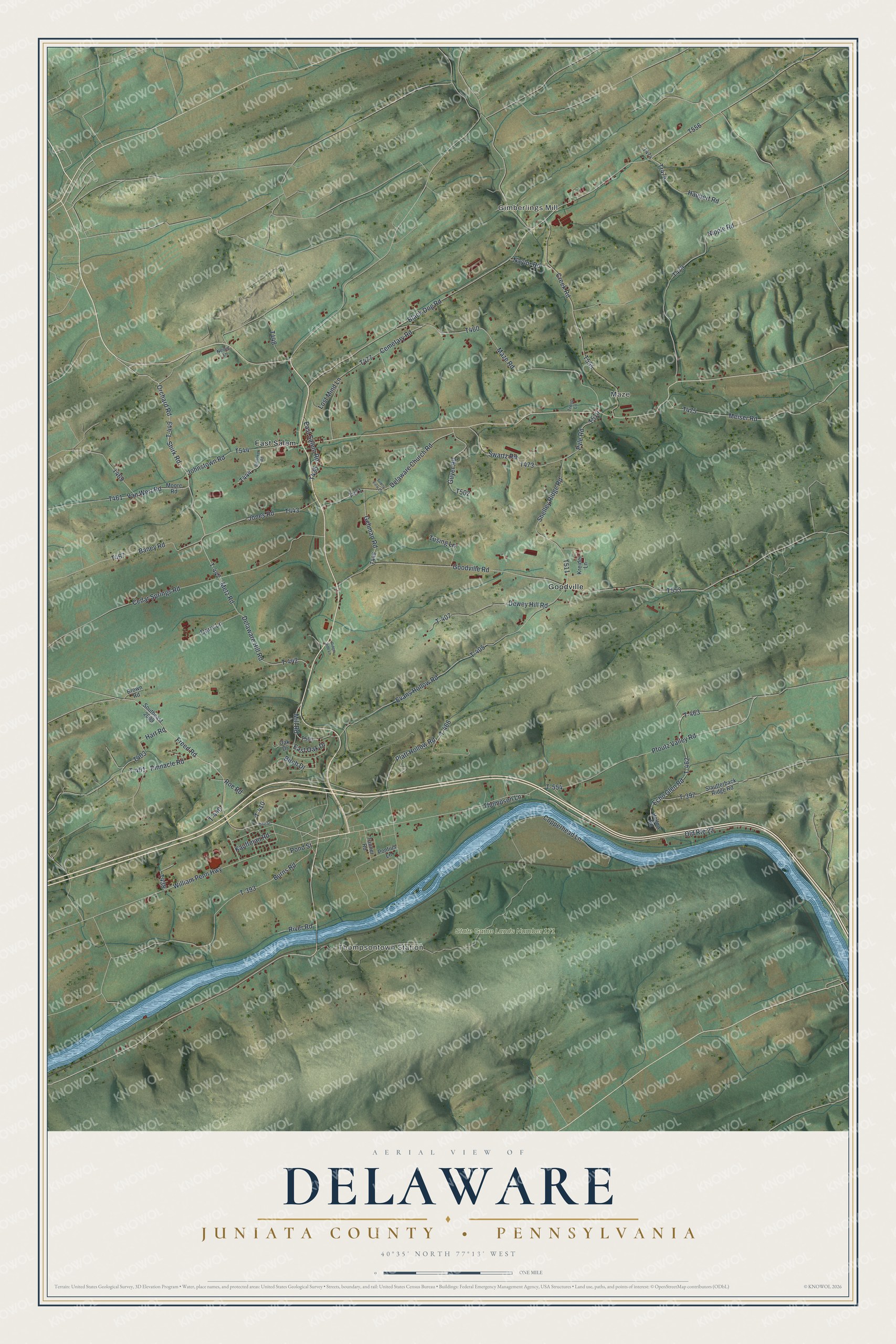
This beautifully detailed map of Delaware, Juniata County, Pennsylvania was created in 2026 using aerial imagery combined with modern topographical, census, street and landmark data. It's a modern aerial view of Delaware, Juniata County in Juniata County, Pennsylvania, that combines modern data with a vintage aesthetic. The roads feature printed names, and if you look closely you can find your exact house accurately shown in its correct location.
Explore an aerial view of Delaware, Juniata County, Pennsylvania
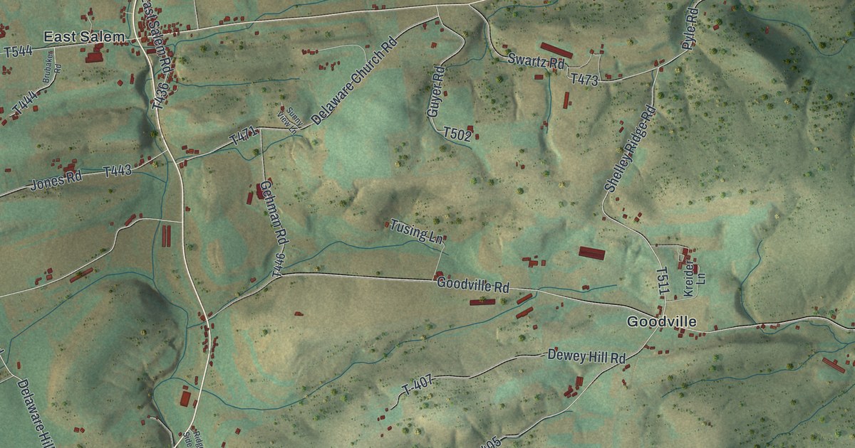
On this map you'll find Gimberlings Mill, Thompsontown Station, Maze, State Game Lands Number 171, East Salem, Goodville, Shirk Road, Orchard Road, T-449, T-447, Black Dog Road, T461, and more. Each red shape is a building, so zoom in on the preview and look for yours.
Here is a piece of Delaware, Juniata County history, in the words of the record. The Internet Archive puts it this way: "In the fall of
that year Samuel Clifford, son of Joseph and
Catharine Nicholas, two of the children carried
oif by Shamokin Daniel's party at a Tutelo
town, forty miles above Tioga (now two miles
from Ithaca, N."
Delaware, Juniata County is a place in Juniata County. The Census Bureau counted 1,610 people here in 2020.
Take a closer look at the Delaware, Juniata County map
Names on this map
These names are printed on this map.
Places: Gimberlings Mill, Thompsontown Station, Maze, State Game Lands Number 171, East Salem and Goodville.
Streets and roads: Shirk Road, Orchard Road, T-449, T-447, Black Dog Road, Van Wert Road, T-463, William Penn Highway, Shelley Ridge Road, Old Route 22, Pyle Road, East Oak Drive.
More street names, A to Z
Baney Road, Birch Drive, Brown Road, Brubaker Road, Burns Road, Cedar Springs Road, Cemetary Road, Copperhead Lane, Creek Road, Dairy Lane, Delaware Church Road, Delaware Hill Road, Dewey Hill Road, East Salem Road, Echo Glen Road, Evans Hollow Road, Freed Road, Gehman Road, Goodville Road, Guyer Road, Hart Road, Haubert Road, Hollow Road, Johnstown Road, Jones Road, Kauffman Road, Kreider Lane, Lost Mind Lane, Maze Road, Meiser Road, Metz Road, Mill Road, Moore Road, Naylor Road, Neidig Lane, Nipple Road, Oak Drive, Pfoutz Valley Road, Pine Street, Pinnacle Road, Platt Hollow Road, Pond Street, Pontius Lane, Ridge Side Lane, River Road, Roe Road, Slautterback Ridge Road, Southeast 2009, Sunny View Lane, Swartz Road, T-393, T-397, T-401, T-405, T-407, T-410, T-440, T-442, T-462, T-466, T-554, Tanner Road, Thompson Lane, Tr474, Troup Lane, Tusing Lane.
Created by KNOWOL in 2026. The buildings are small red shapes, the roads carry their printed names, and shaded relief shows the shape of the land. The title panel reads "AERIAL VIEW OF DELAWARE JUNIATA COUNTY • PENNSYLVANIA" with 4, 0, °, 3, 5, ', , N, O, R, T, H, , 7, 7, °, 1, 3, ', , W, E, S, T.
It suits a den, a classroom or a front hall, and it makes a gift for anyone with Delaware, Juniata County roots. Open the preview and find the block you know. See sizes and frames for the Delaware, Juniata County map.