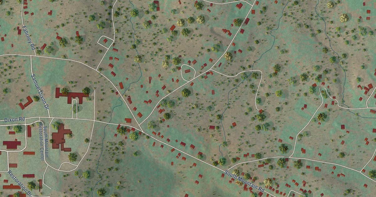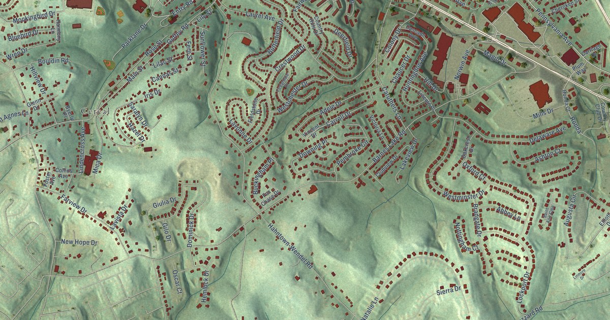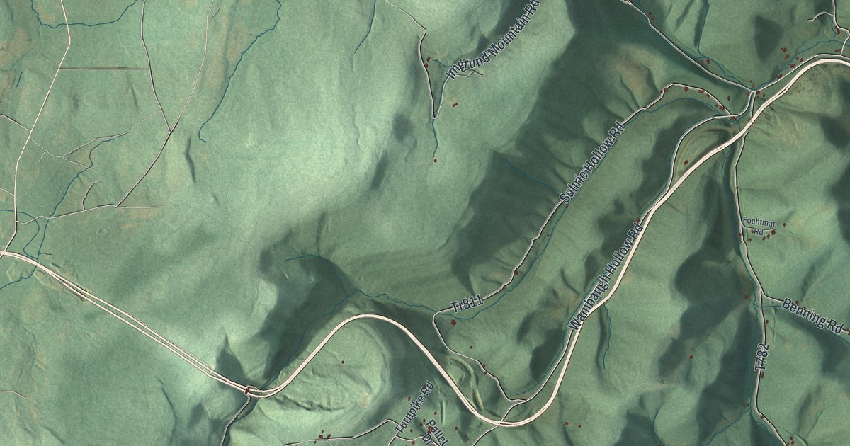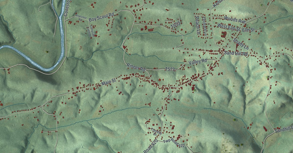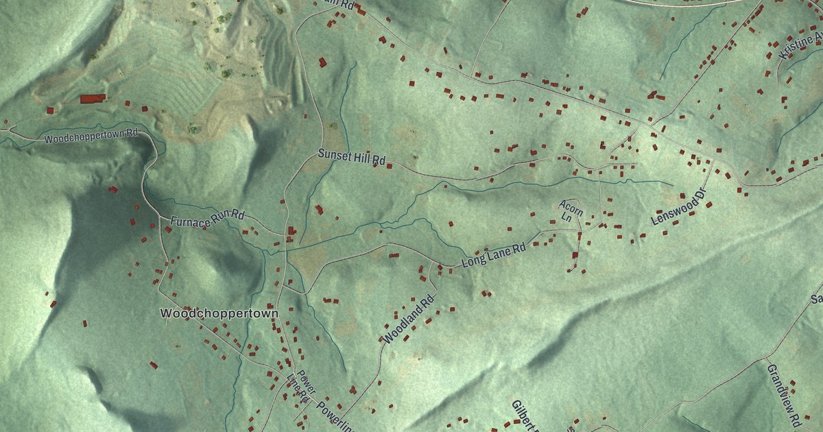
This beautifully detailed map of Earl, Berks County, Pennsylvania was created in 2026 using aerial imagery combined with modern topographical, census, street and landmark data. It’s a one-of-a-kind view of Earl that combines accurate data with a vintage aesthetic. The map shows every building in its true location, many of the roads carry their names, and the shaded topographic relief shows the shape of the land.
Explore an aerial view of Earl, Berks County, Pennsylvania
On the map you’ll find Earl Township Municipal Building, Worman, Earl Municipal Park, Shanesville, and Woodchoppertown, along with West Philadelphia Avenue, Boyertown Pike, Vale Drive, Powerline Road, Longview Road, Powder Mill Hollow Road, Manatawny Road, and more. If you look closely you can even find your house accurately drawn in its correct location. Zoom in on the preview to look for yours.
Did you know this piece of Earl, Berks County, Pennsylvania history?
Shanesville, the only business village in Earl Township, took its name from John Shane, who owned the land. Peter Clauser founded the village in 1833, when he built and opened a public house there. His son Daniel later took over the inn. That’s from the 1886 History of Berks County in Pennsylvania.
Take a closer look at the Earl, Berks County map
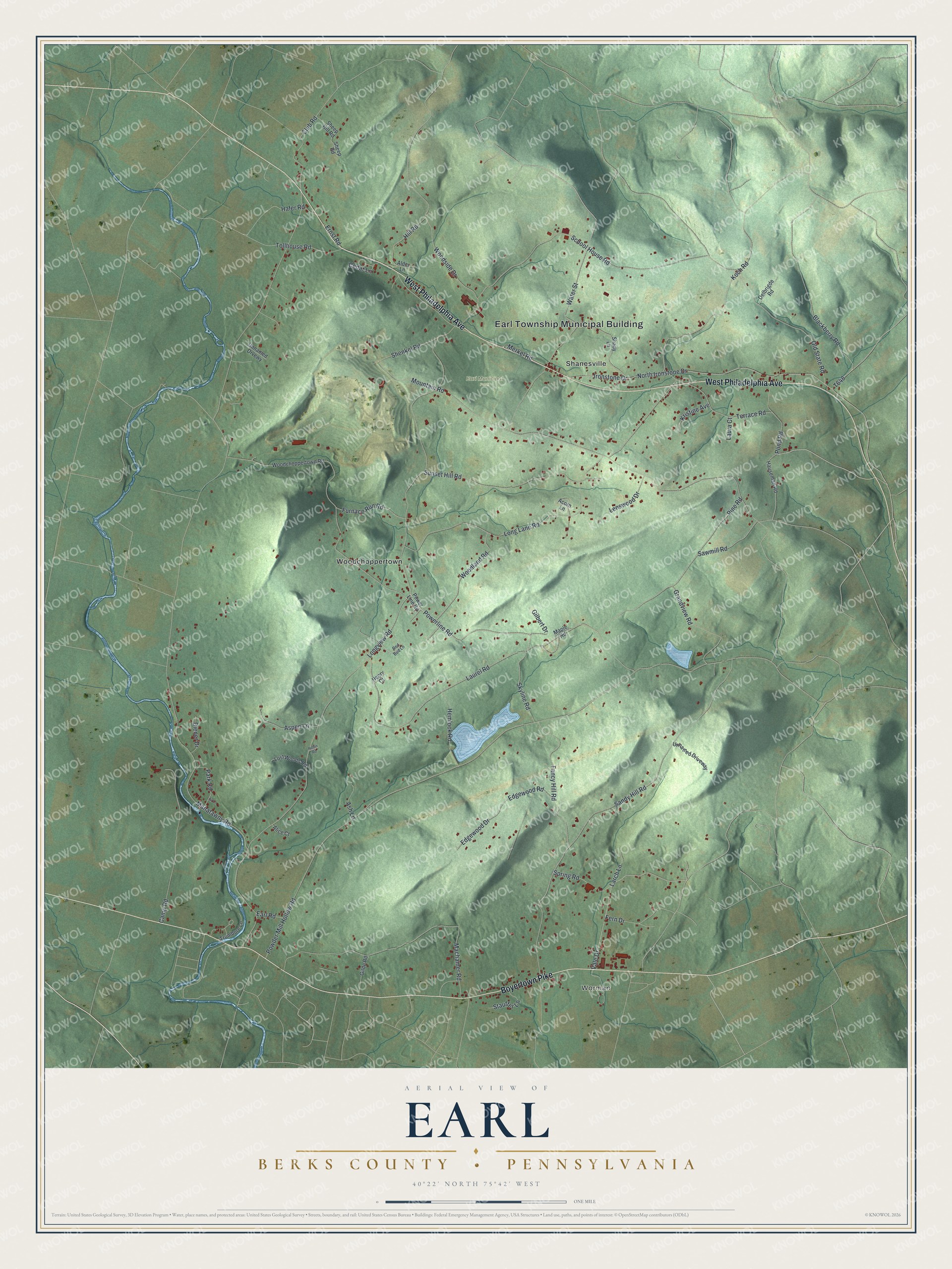
Street and place names on the Earl, Berks County, Pennsylvania map
These names are printed on the map of Earl, Berks County, Pennsylvania.
Places: Earl Township Municipal Building, Worman, Earl Municipal Park, Shanesville and Woodchoppertown.
Streets and roads: West Philadelphia Avenue, Boyertown Pike, Vale Drive, Powerline Road, Longview Road, Powder Mill Hollow Road, Manatawny Road, Mountain Road, Laurel Road, Fancy Hill Road, Sunset Hill Road, School House Road.
More street names, A to Z
Acorn Lane, Alder Lane, Alice Court, Ash Lane, Aspen Lane, Blackberry Road, Camp Road, Cedar Lane, Club Road, Delbrigde Road, Diener Drive, Earl Road, Edgewood Drive, Edgewood Road, Ernst Road, Fern Drive, Fir Lane, Furnace Run Road, Gilbert Drive, Gilde Road, Grandview Road, Hafer Road, Hauseman Road, Hemlock Road, Henry Court, Hill Road, Ironstone Drive, Koch Road, Kristine Avenue, Larch Lane, Laura Court, Lenswood Drive, Long Lane Road, Lost Woods Road, Machamer Road, Maple Road, Merkel Road, North Ironstone Drive, Old State Road, Park Road, Pine Road, Pond Road, Power Line Road, Red Bud Lane, Robin Road, Sandy Hill Road, Sawmill Road, Shady Lane, Sheep Hill Road, Sheep Road, Shenkel Road, Skyline Road, Spring Road, Stauffer Lane, Terrace Road, Tollhouse Road, Trumbore Lane, Unnamed Driveway, Unnamed Drvewy, Water Street, Woodchoppertown Road, Woodland Road, Woodside Drive.
See the Earl, Berks County, Pennsylvania map on a wall
The Earl, Berks County map as an 18 x 24 inch print in a black frame.

This beautifully detailed map of Earl, Berks County makes an attractive addition to your office, library, or den, and it can even be used to teach children the geography and history of the area. It also makes a great gift for anyone who grew up in Earl or moved away. When you’re done exploring, click here to get your copy of the Earl, Berks County map.