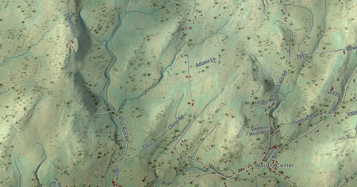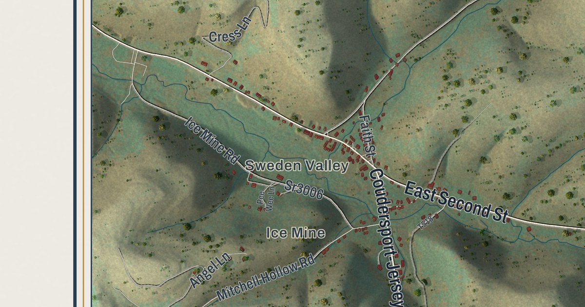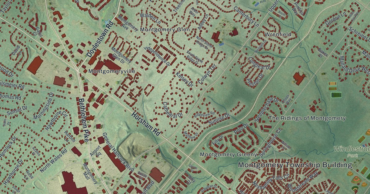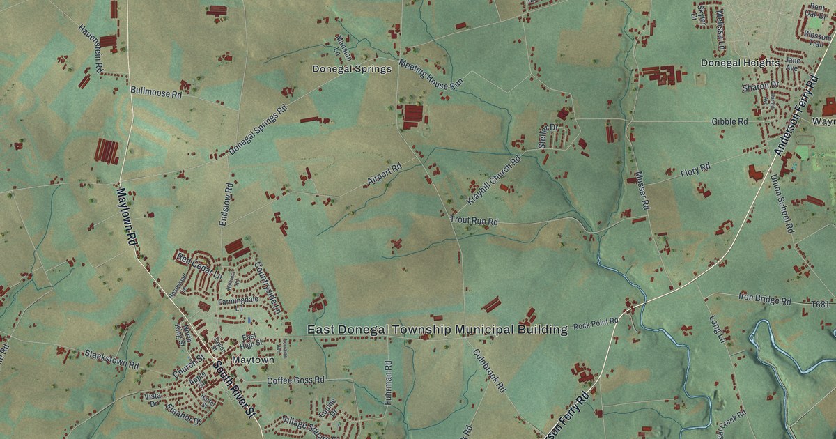
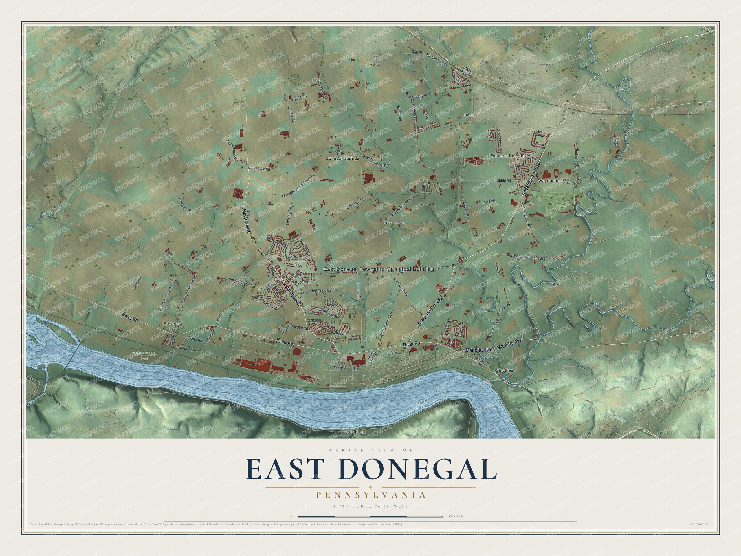
This beautifully detailed map of East Donegal, Pennsylvania was created in 2026 using aerial imagery combined with modern topographical, census, street and landmark data. It’s a one-of-a-kind view of East Donegal that combines accurate data with a vintage aesthetic. The map shows every building in its true location, many of the roads carry their names, and the shaded topographic relief shows the shape of the land.
Explore an aerial view of East Donegal, Pennsylvania
On the map you’ll find East Donegal Township Municipal Building, Rowenna, River Front Park, Accomac, Chickies, Donegal Heights, Donegal Springs, Florin, Maytown, and Waynesboro, along with Anderson Ferry Road, Marietta Avenue, and more. If you look closely you can even find your house accurately drawn in its correct location. Zoom in on the preview to look for yours.
Did you know this piece of East Donegal, Pennsylvania history?
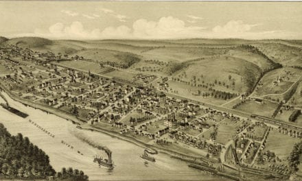
Maytown, in East Donegal Township, grew along a road that traders and settlers used by 1719. Jacob Downer laid out a town on a tract of one hundred and fifty acres, naming it Maytown. At its center, a spot was saved for a market house where the two main streets crossed. That’s from the 1883 History of Lancaster County, Pennsylvania.
Take a closer look at the East Donegal map
Street and place names on the East Donegal, Pennsylvania map
These names are printed on the map of East Donegal, Pennsylvania.
Places: East Donegal Township Municipal Building, Rowenna, River Front Park, Accomac, Chickies, Donegal Heights, Donegal Springs, Florin, Maytown and Waynesboro.
Streets and roads: Anderson Ferry Road, Marietta Avenue, Maytown Road, South River Street, River Road, Marietta Pike, Pinkerton Road, Donegal Springs Road, Wasp Street, Coffee Goss Road, Colebrook Road, Musser Road.
More street names, A to Z
Airport Road, Apple Street, Ashley Drive, Bank Street, Basil Street, Beattys Tollgate Road, Bent Oak Drive, Blossom Trail, Bullmoose Road, Carmany Road, Chelmsford Drive, Church Street, Countryside Lane, Depot Road, Donegal Creek Road, East High Street, Eleanor Drive, Elk Avenue, Endslow Road, Engle Road, Engle Tollgate Road, Equine Drive, Farmcrest Lane, Farmingdale Lane, Flory Road, Fuhrman Road, Gibble Road, Greider Avenue, Greider Road, Harold Avenue, Harrisburg Avenue, Harter Street, Hauenstein Road, Hillcrest Road, Iron Bridge Road, Jane Avenue, Janet Drive, Jewel Drive, Kelly Avenue, Kline Road, Koser Road, Kraybill Church Road, Landis Road, Long Lane, Lorraine Avenue, Lumber Avenue, Mansion Lane, Meeting House Run, Melissa Lane, Moran Place, Nicole Street, Nissley Road, Nolt Road, North Bridge Street, North Decatur Street, North King Street, Oak Lane, Oak Road, Old Colebrook Road, Old River Road, Ore Mine Road, Railroad Avenue, Red Cedar Lane, Reichs Church Road, Rock Point Road, Rosewood Lane, Sarah Lane, Shadetree Boulevard, Sharon Drive, Skyler Drive, Sload Circle, South Jacob Street, Stackstown Road, Stellar Drive, Taylor Street, Trout Run Road, Union School Road, Village Square Drive, Vinegar Ferry Road, Vista Drive, West Main Street.
See the East Donegal, Pennsylvania map on a wall
The East Donegal map as an 18 x 24 inch print in a black frame.

This beautifully detailed map of East Donegal makes an attractive addition to your office, library, or den, and it can even be used to teach children the geography and history of the area. It also makes a great gift for someone who left East Donegal and still calls it home. When you’re done exploring, click here to get your copy of the East Donegal map.