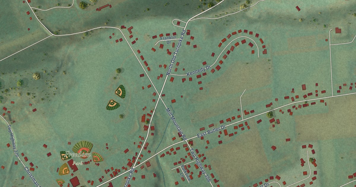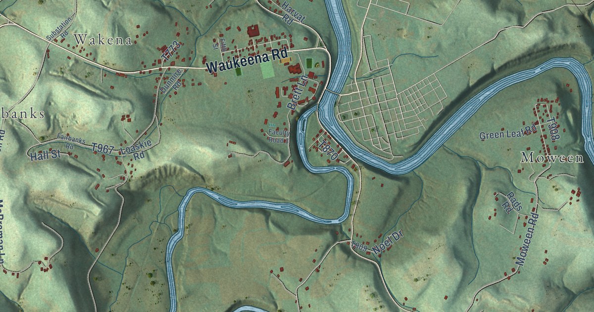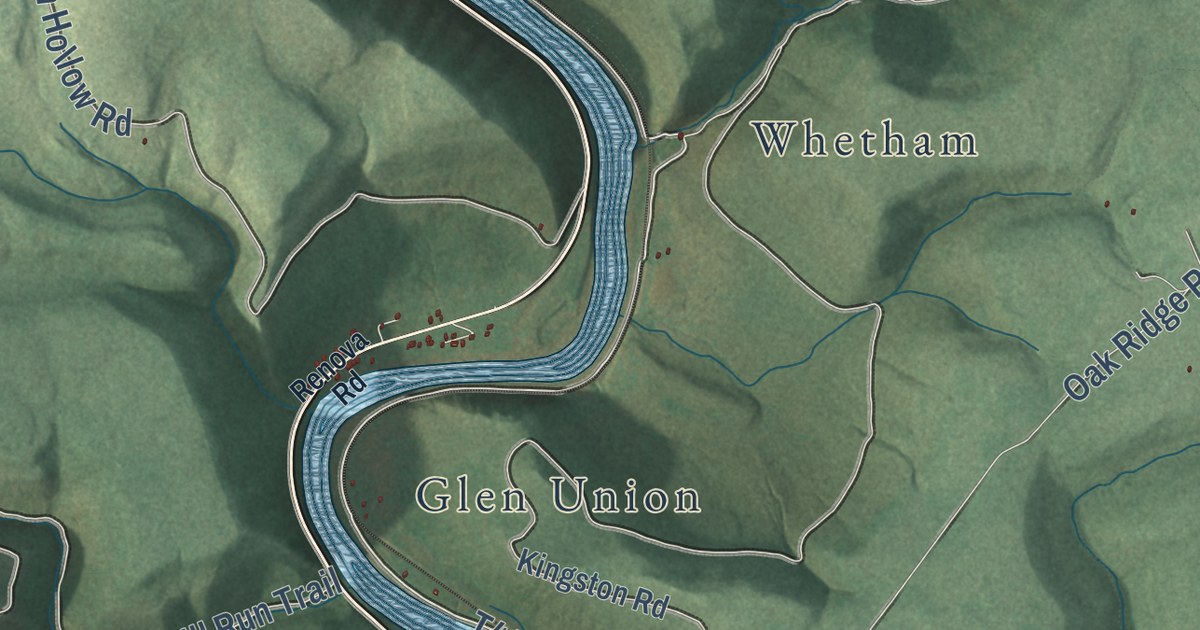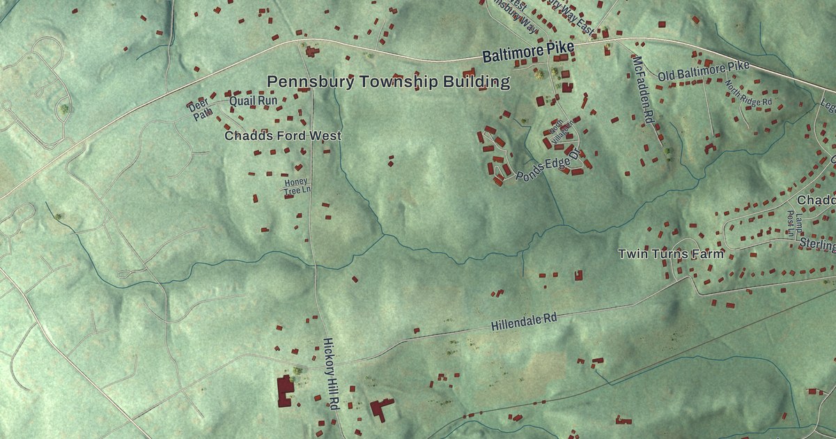
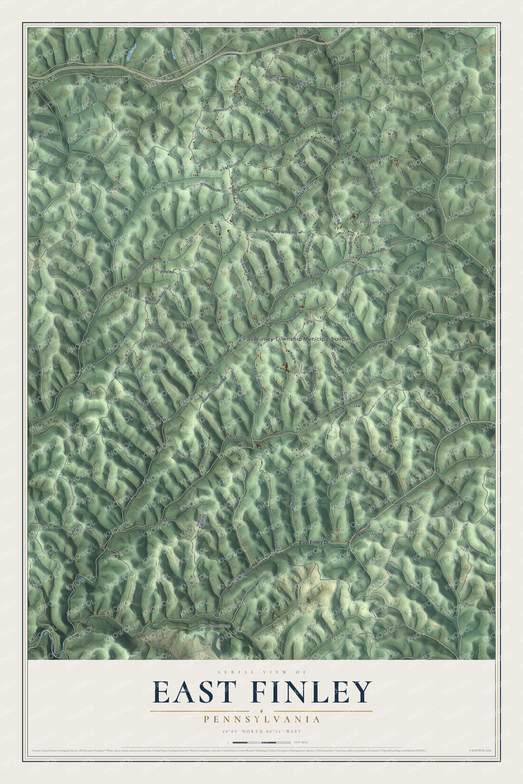
This beautifully detailed map of East Finley, Pennsylvania was created in 2026 using aerial imagery combined with modern topographical, census, street and landmark data. It’s a one-of-a-kind view of East Finley that combines accurate data with a vintage aesthetic. The map shows every building in its true location, many of the roads carry their names, and the shaded topographic relief shows the shape of the land.
Explore an aerial view of East Finley, Pennsylvania
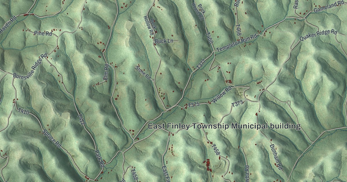
On the map you’ll find East Finley Township Municipal building, Enon, Simpson Store, Pleasant Grove, and Gale, along with East Finley Drive, Rocky Run Road, Templeton Run Road, Burnsville Ridge Road, Pleasant Grove Road, and more. If you look closely you can even find your house accurately drawn in its correct location. Zoom in on the preview to look for yours.
Did you know this piece of East Finley, Pennsylvania history?
East Finley Township’s early land tracts carried colorful names. Brothers Charles, William and Barnet Boner warranted three tracts on Lick Run called Peace, Plenty and Quarrel. Early settler Abraham Enlow received a 400-acre tract called Big Flat. He built a block-house on Wheeling Creek to protect his family. That’s from the 1882 History of Washington County, Pennsylvania.
Take a closer look at the East Finley map
Street and place names on the East Finley, Pennsylvania map
These names are printed on the map of East Finley, Pennsylvania.
Places: East Finley Township Municipal building, Enon, Simpson Store, Pleasant Grove and Gale.
Streets and roads: East Finley Drive, Rocky Run Road, Templeton Run Road, Burnsville Ridge Road, Pleasant Grove Road, Sunset Road, Green Haven Road, Quaker Ridge Road, Catawba Road, Hawthorne Road, Birch Road, Enon Church Road.
More street names, A to Z
Ash Road, Bell Avenue, Brick House Road, Buckeye Road, Buck Lane, Chapel Hill Road, Cracraft Road, Craft Creek Road, Deer Trail Road, Dunham Road, Dusty Trail, Elm Road, Fairmont Church Road, Gameland Road, Hawthorn Road, Hickory Road, High Point Road, Hutchison Road, Maple Road, McCrerey Road, Mosier Hill Road, Newland School Road, Oak Springs Road, Park Road, Pine Road, Prosperity Pike, Ranch Road, Raspberry Road, Rock Hollow Road, Saw Hill Road, School House Road, Sky View Road, Slemmons Road, South Sunset Beach Road, Sprowls Road, Spruce Road, Stone Road, Valley View Road, Walnut Road, Willow Road, Woodburn Road.
See the East Finley, Pennsylvania map on a wall
The East Finley map as an 18 x 24 inch print in a black frame.

This beautifully detailed map of East Finley makes an attractive addition to your office, library, or den, and it can even be used to teach children the geography and history of the area. It also makes a great gift for someone who left East Finley and still calls it home. When you’re done exploring, click here to get your copy of the East Finley map.