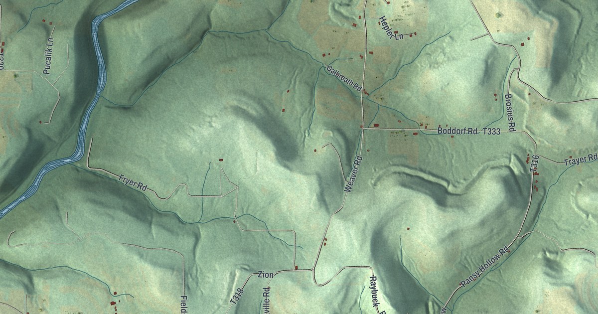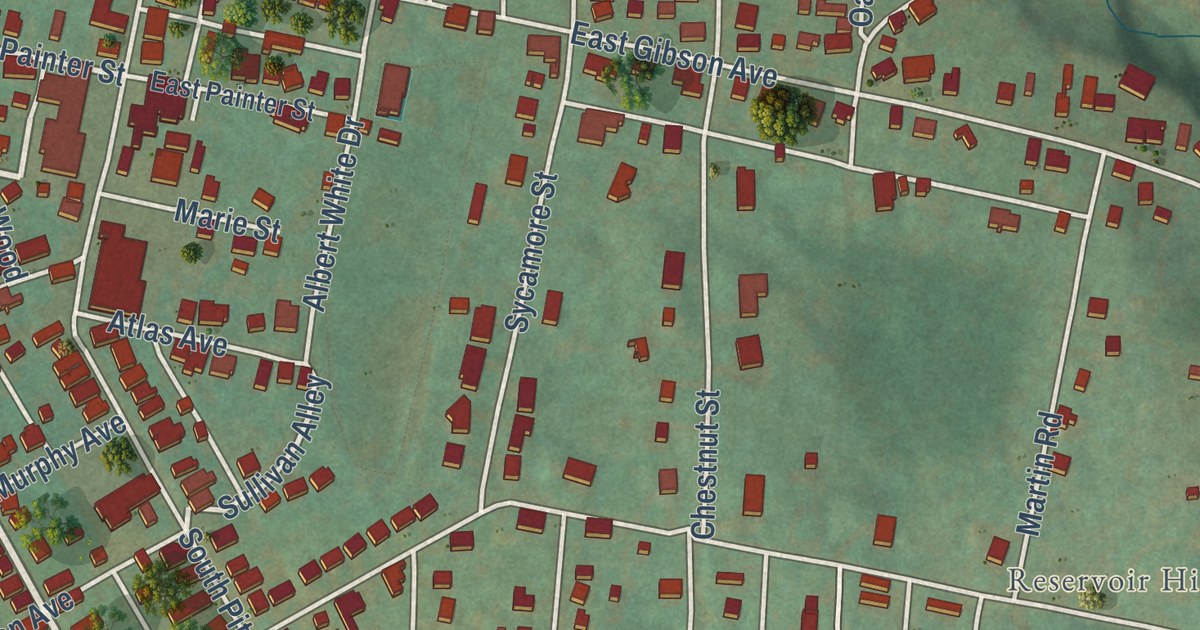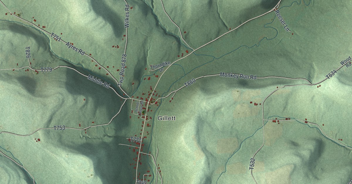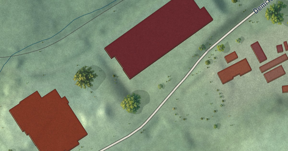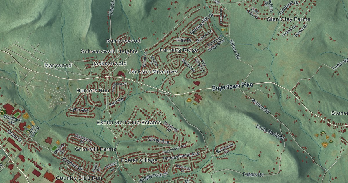
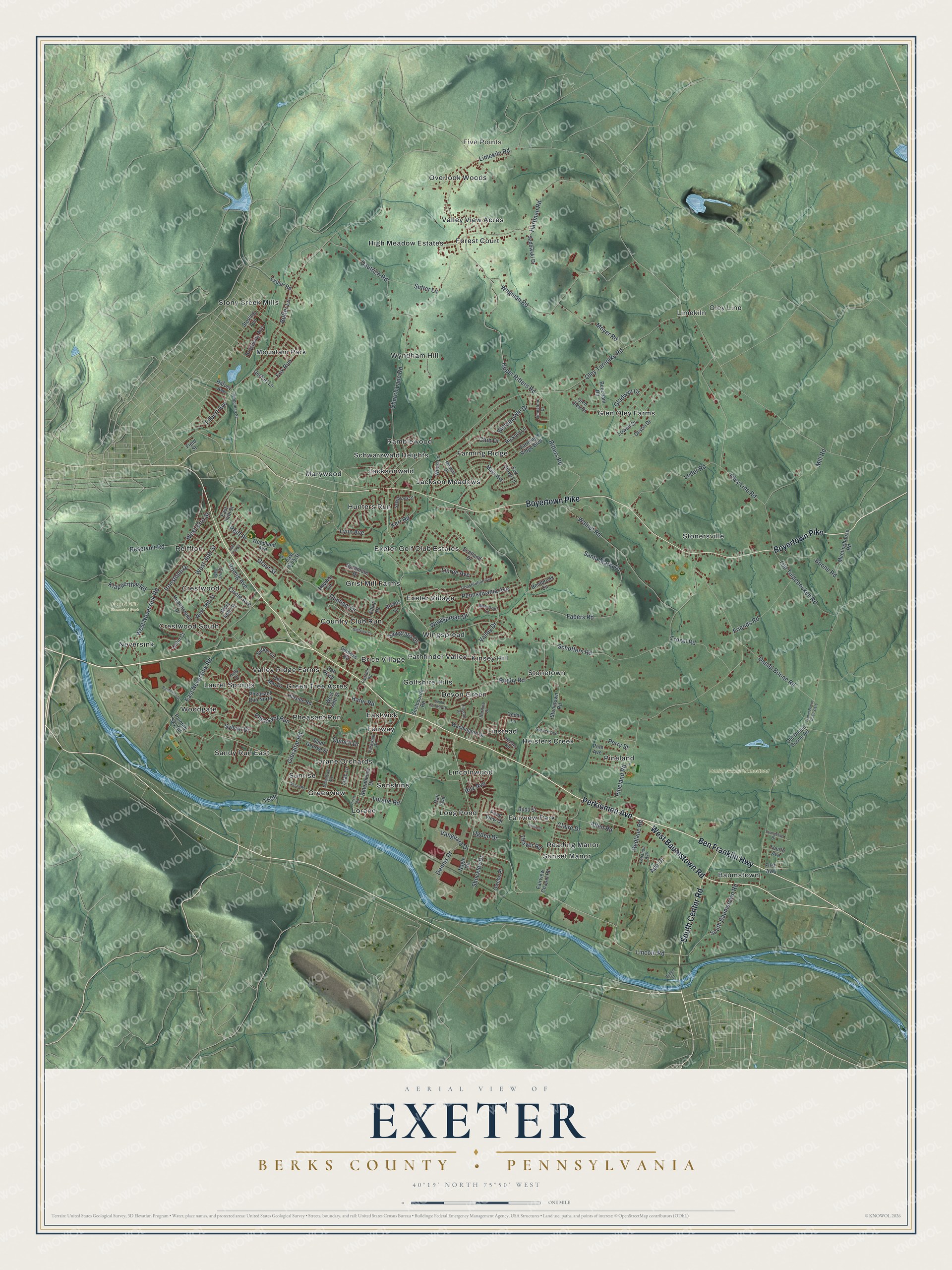
This beautifully detailed map of Exeter, Berks County, Pennsylvania was created in 2026 using aerial imagery combined with modern topographical, census, street and landmark data. It’s a one-of-a-kind view of Exeter that combines accurate data with a vintage aesthetic. The map shows every building in its true location, many of the roads carry their names, and the shaded topographic relief shows the shape of the land.
Explore an aerial view of Exeter, Berks County, Pennsylvania
On the map you’ll find Five Points, Daniel Boone Homestead, Forest Hills Memorial Park, Baumstown, Brice Village, Country Club Run, Crestwood, Crestwood South, Devon Green, Eastwick, Exeter Golf Club Estates, Exeter Village, and more. If you look closely you can even find your house accurately drawn in its correct location. Zoom in on the preview to look for yours.
Did you know this piece of Exeter, Berks County, Pennsylvania history?
From the 1886 History of Berks County in Pennsylvania: "M’hen owned by William Brumbach it was burned down and rebuilt, when it was converted into an oil-mill."
Take a closer look at the Exeter, Berks County map
Street and place names on the Exeter, Berks County, Pennsylvania map
These names are printed on the map of Exeter, Berks County, Pennsylvania.
Places: Five Points, Daniel Boone Homestead, Forest Hills Memorial Park, Baumstown, Brice Village, Country Club Run, Crestwood, Crestwood South, Devon Green, Eastwick, Exeter Golf Club Estates, Exeter Village, Fairview Park, Fairway, Farming Ridge, Forest Court, Glen Oley Farms, Golfshire Hills, Green Tree Acres, Greenview, Grist Mill Farms, Heisters Creek, High Meadow Estates, Hunters Run, Jackson Meadows, Jacksonwald, Kinsey Hill, Laurel Springs, Limekiln, Lincolnwood, Linstead, Long Pond, Lorane, Lorane Orchards, Marywood, Mountain Park, Neversink, Oley Line, Overlook Woods, Pathfinder Valley, Pheasant Run, Pineland, Ramblewood, Reading Manor, Reiffton, Sandy Run East, Schwarzwald Heights, Stonersville, Stonetown, Stony Creek Mills, Sunrise, Sunset Manor, Sunshine, Valley Ridge Farms, Valley View Acres, Wingspread, Woodgate and Wyndham Hill.
Streets and roads: Perkiomen Avenue, Ben Franklin Highway, Boyertown Pike, West Baumstown Road, South Center Road, Lincoln Road, Limekiln Road, Schoffers Road, Daniel Boone Road, Oley Turnpike Road, Wegman Road, Church Lane Road.
More street names, A to Z
Ada Drive, Alisan Road, Allen Road, Beecham Road, Bentbrook Circle, Bingaman Street, Birchmont Drive, Boone Road, Bowes Lane, Bridge Street, Broadway Avenue, Budd Street, Butter Lane, Cedar Lane, Circle Avenue, Circle Road, Claire Drive, Club Drive, Colin Court, Constitution Avenue, Daniel Boone Road State, Dautrich Road, Del Mar Drive, Demoss Road, Dennis Drive, Devon Drive, Dunham Drive, East 34th Street, East 37th Street, East 40th Street, East Neversink Road, Eastwick Drive, Elliot Drive, Evangeline Drive, Exeter Road, Fabers Road, Fairlane Road, Fairview Chapel Road, Farming Ridge Boulevard, Field Street, Filbert Avenue, First Avenue, Fourth Avenue, Fox Glove Lane, Fox Run, Friends Road, Gerhart Lane, Gibraltar Road, Gladwyn Drive, Glen Oley Drive, Golfview Lane, Grant Street, Hafer Road, Hall Avenue, Hartline Drive, Hartman Road, Harvey Avenue, Hayden Circle, Hearthstone Drive, Heister Road, Hickory Lane, Hillside Road, Holly Drive, Ironstone Drive, Kerr Road, Klapperthal Road, Lebanon Avenue, Lilac Lane, Limestone Drive, Lincoln Drive, Linree Avenue, Loder Road, Lorane Road, Lowell Drive, Lynn Avenue, Mays Avenue, Meetinghouse Road, Michele Drive, Mill Road, Moonflower Avenue, Moyer Road, Nagle Road, Oak Parkway, Ogden Drive, Old Daniel Boone Road, Old Tulpehocken Road, Oley Line Road, Owens Place, Painted Sky Road, Pennsylvania Avenue, Perry Street, Pheasant Run North, Phillip Street, Pine Avenue, Pineland Road, Pond View Drive, Quince Drive, Redlane Road, Reiff Place, Reservoir Road, Rittenhouse Drive, Ritters Road, Ritz Avenue, Romig Avenue, Rugby Road, Sadowski Drive, Sagebrook Drive, Saint George Street, Santa Maria Drive, Sawgrass Drive, Scotland Drive, Shelbourne Road, Shockley Drive, South Baumstown Road, South Fairway Drive, Spruce Avenue, Sterling Avenue, Stonehenge Drive, Stonetown Road, Sutter Lane, Sutton Circle, Sycamore Drive, Sylvan Drive, Thayer Road, Troxel Road, Upper Ritters Road, Valley Drive, Vanguard Drive, Walnut Road, Washington Drive, Waterford Lane, West 33rd Street, West 36th Street, West 37th Street, West 38th Street, West 40th Street, West 49th Street, West Neversink Road, Wingspread Drive, Woodland Avenue, Wood Lane.
See the Exeter, Berks County, Pennsylvania map on a wall
The Exeter, Berks County map as an 18 x 24 inch print in a black frame.

This beautifully detailed map of Exeter, Berks County makes an attractive addition to your office, library, or den, and it can even be used to teach children the geography and history of the area. It also makes a great gift for anyone who grew up in Exeter or moved away. When you’re done exploring, click here to get your copy of the Exeter, Berks County map.