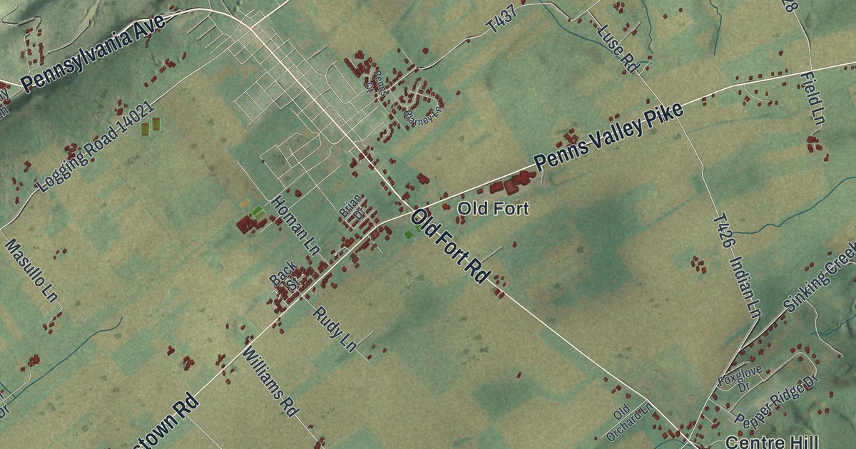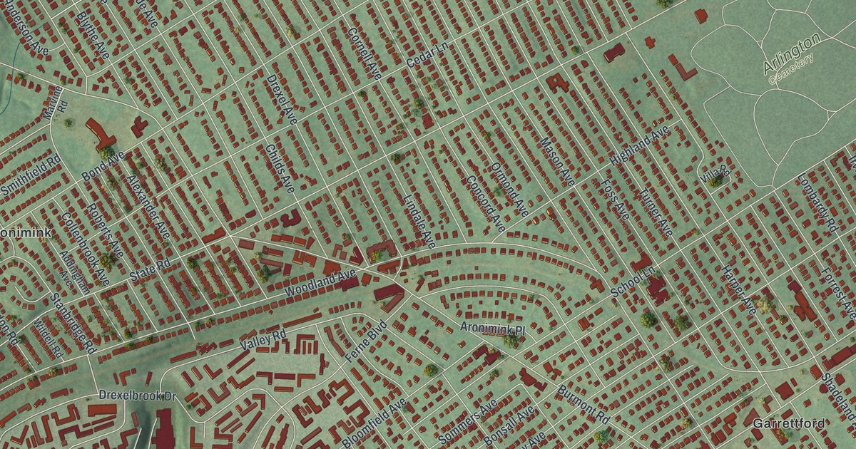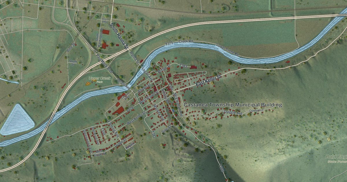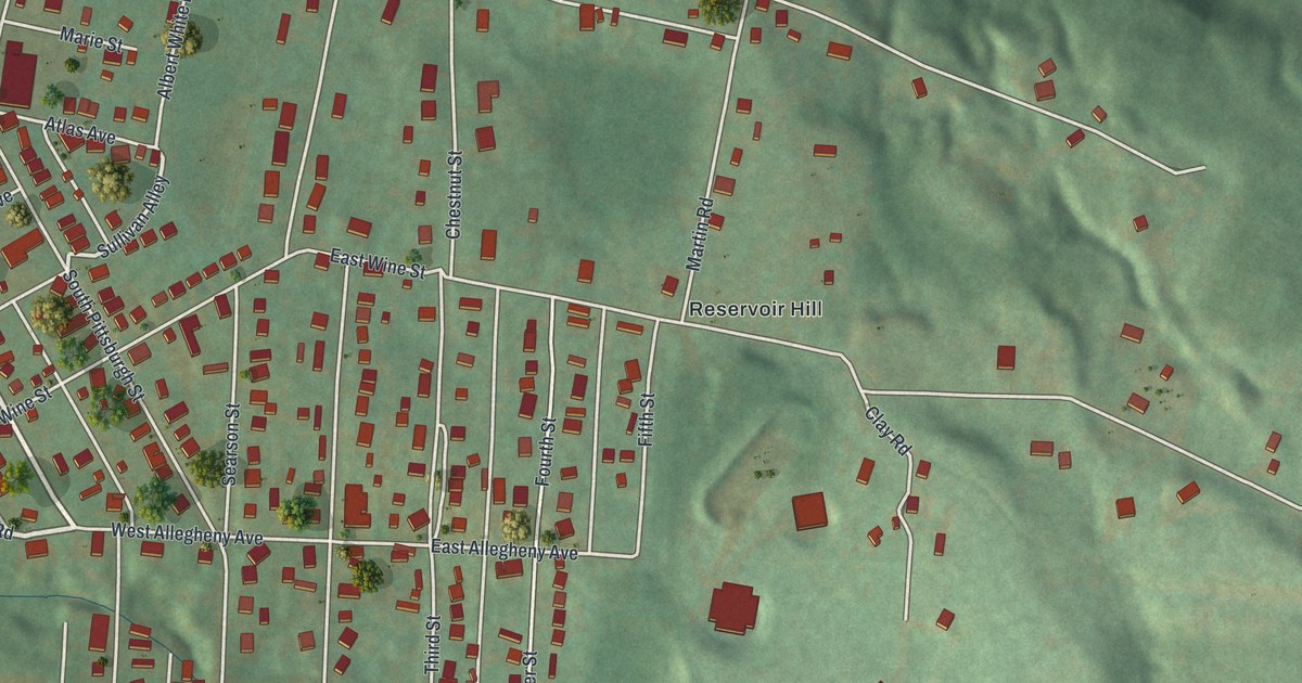
If you grew up on South Pittsburgh Street or still have family up on Reservoir Hill, this map was made with you in mind. It's a modern aerial view of South Connellsville in Fayette County, Pennsylvania, drawn from modern data and finished with a vintage look. A wide blue river and a rail line run down the left side. The town fills the flat ground beside them, and green hills rise to the east. More than 1,600 buildings show up as small red shapes, from the long blocks near the river to the houses climbing the hill.
The Streets of South Connellsville
On this map you'll find South Pittsburgh Street, East Youghiogheny Avenue, East Allegheny Avenue, McCormick Avenue, Dushane Avenue, Park Avenue, Chestnut Street, Walnut Street, Vine Street, Hyndman Street, Davidson Avenue, Reidmore Road, Casparis Road, Reservoir Hill, and more. Each red shape is a building, so zoom in on the preview and look for yours.
Col. William Crawford and the Youghiogheny
One of the first big names in this valley is Col. William Crawford. A 1918 plaque on South Pittsburgh Street in Connellsville, just up the road, tells his story. He was born in Berkeley County, Virginia, in 1732. He first came west of the mountains in 1758, as an officer with General Forbes. In 1765 he built a log cabin on the west bank of the Youghiogheny River. The spot was known as Stewart's Crossings. The plaque calls him a friend of Washington. A state marker from 1966 adds that he was Washington's land agent.
In the Revolution, Crawford crossed the Delaware with Washington and shared in the win at Trenton. Later he led the Sandusky Expedition to defend the frontier. He was captured there and killed near Crawfordsville, Ohio, on June 11, 1782. The plaque went up in his memory in 1918, more than a century later. On the map, look for South Pittsburgh Street. It's the same street the plaque stands on in Connellsville. East Youghiogheny Avenue carries the name of the river where his cabin stood.
South Connellsville, from the River to Reservoir Hill
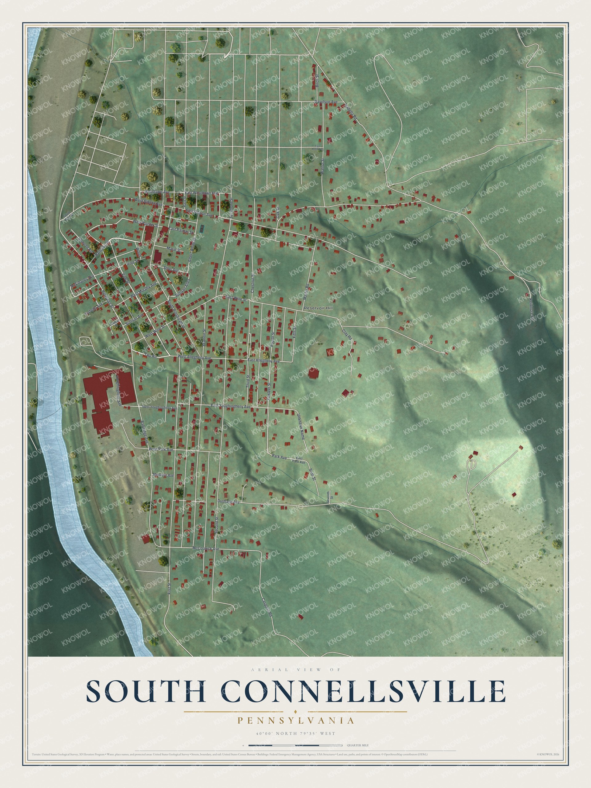
Created by KNOWOL in 2026, this print shows South Connellsville from above in soft greens, with shaded hills, a pale blue river and red buildings along every block. The title panel at the bottom reads "Aerial View of South Connellsville, Pennsylvania" with the coordinates 40°00' North 79°35' West.
It fits a living room, a front hall or a home office, anywhere you'd like to see your own streets. It also makes a good gift for someone who grew up near Reservoir Hill or walked South Pittsburgh Street every day and has since moved away. Open the preview and find the block you know best. See sizes and frames for the South Connellsville map.