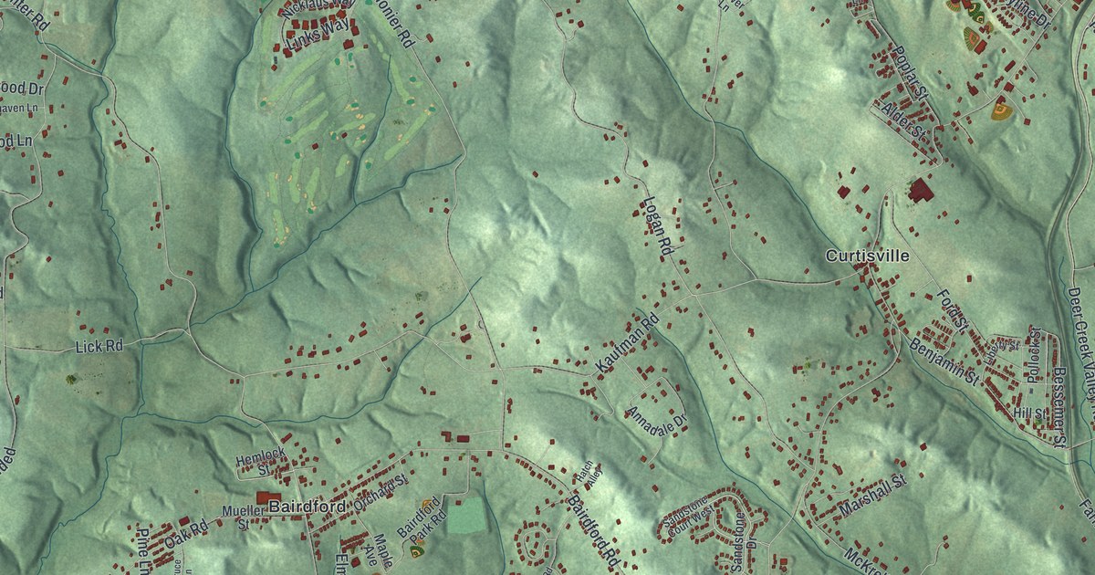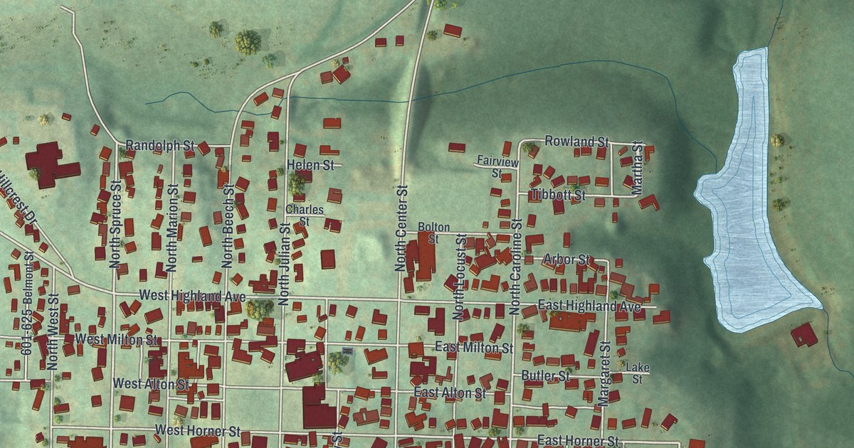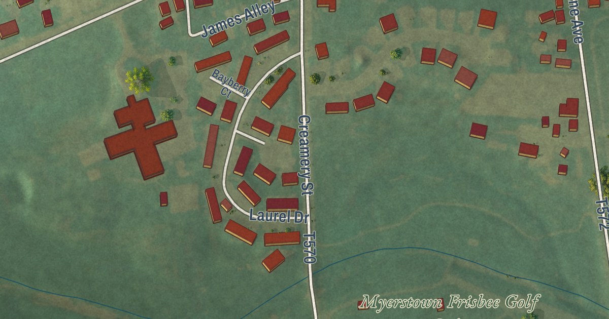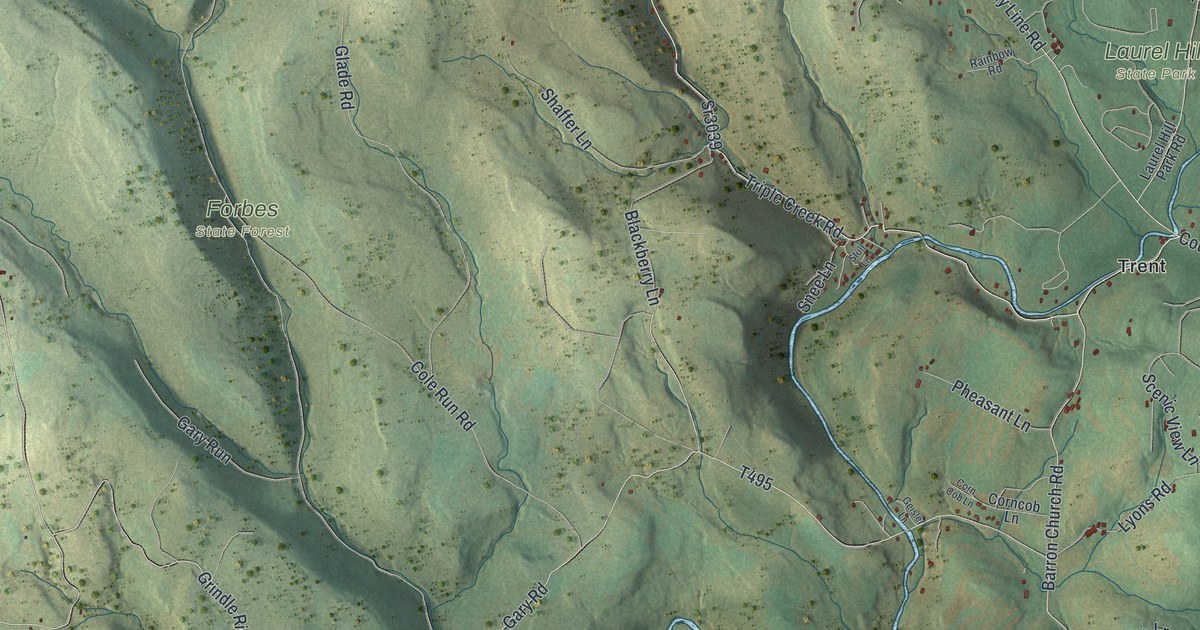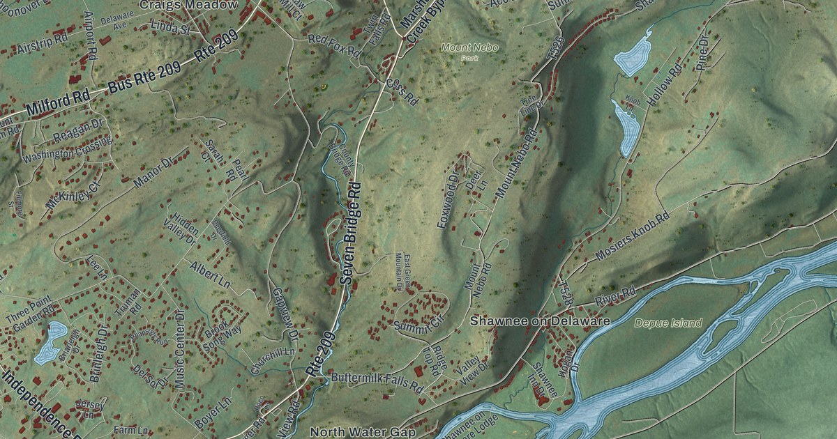
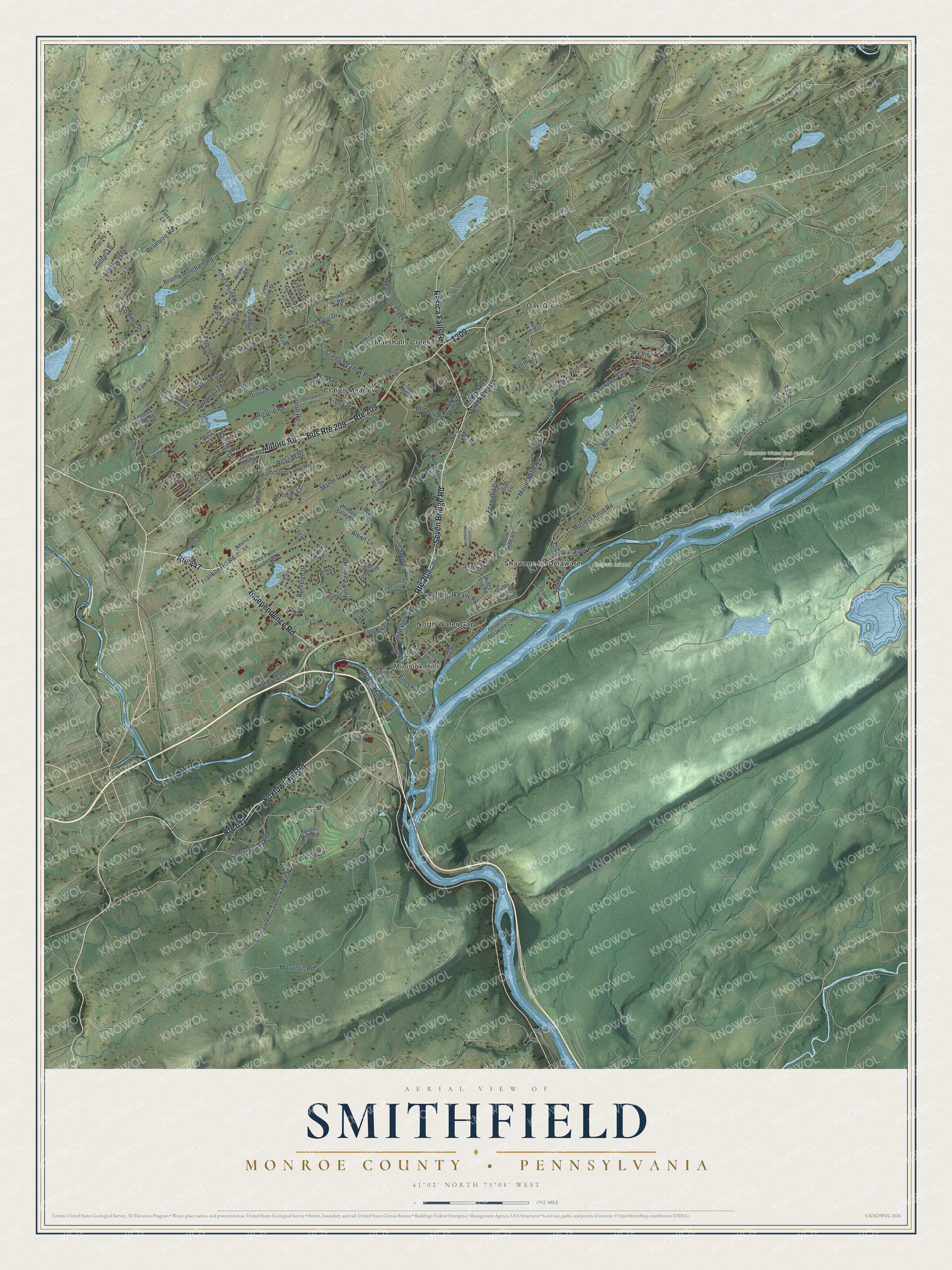
This beautifully detailed map of Smithfield, Monroe County, Pennsylvania was created in 2026 using aerial imagery combined with modern topographical, census, street and landmark data. It’s a one-of-a-kind view of Smithfield that combines accurate data with a vintage aesthetic. The map shows every building in its true location, many of the roads carry their names, and the shaded topographic relief shows the shape of the land.
Explore an aerial view of Smithfield, Monroe County, Pennsylvania
On the map you’ll find Delaware Water Gap National Recreation Area, Depue Island, Mount Nebo Park, Craigs Meadow, Marshalls Creek, Minisink Hills, North Water Gap, Oak Grove, and Shawnee on Delaware, along with Milford Road, Seven Bridge Road, Independence Road, and more. If you look closely you can even find your house accurately drawn in its correct location. Zoom in on the preview to look for yours.
Take a closer look at the Smithfield, Monroe County map
Street and place names on the Smithfield, Monroe County, Pennsylvania map
These names are printed on the map of Smithfield, Monroe County, Pennsylvania.
Places: Delaware Water Gap National Recreation Area, Depue Island, Mount Nebo Park, Craigs Meadow, Marshalls Creek, Minisink Hills, North Water Gap, Oak Grove and Shawnee on Delaware.
Streets and roads: Milford Road, Seven Bridge Road, Independence Road, Foxtown Hill Road, Route 447, Bus Route 209, Route 209, Route 611, Resica Falls Road, Franklin Hill Road, Pine Drive, Valhalla Drive.
More street names, A to Z
Ace Lane, Acres Road, Airport Road, Airstrip Road, Albert Lane, Alwen Avenue, Amelia Lane, American Way, Beaver Drive, Binnekill Lane, Boyer Lane, Branch Lane, Briarleigh Drive, Brinleigh Drive, Broad Street, Brook Song Way, Browning Road, Brushy Mountain Road, Burch Lane, Buttermilk Falls Road, Campanile Drive, Cedar Grove, Center Road, Chariton Drive, Cherry Valley Road, Churchill Lane, Coss Road, County Bridge Road, Craigs Meadow Road, Dartmouth Drive, Davis Court, Deerfield Drive, Deer Lane, Delaware Avenue, Delaware Water Gap Nra, Del Sol Drive, Dogwood Terrace, East Brown Street, East Green Mountain Drive, Eilenberger Road, Eilenbergers Landing, Fairway Drive, Farmers Ridge Road, Farm Lane, Fawn Road, Fillmore Street, Fish Lane, Forest Lane, Fox Chapel Drive, Foxwood Drive, Freda Lane, Gabriel Ests, Gabrielle Lane, Gapview Drive, Gap View Road, Ginger Lane, Greatbuck Drive, Great Oak Drive, Grizzly Trail, Hidden Valley Drive, Hillside Drive, Hogan Drive, Hollow Road, Ivy Lane, Jersey Lane, Kings Pond Road, Knob Lane, Lee Lane, Linda Street, Lloyds Lane, Logging Road 45061, Lorne Drive, Manor Drive, Marshall's Creek Bypass, Marshalls Creek Road, McKinley Court, Mosiers Knob Road, Mountain Road, Mount Nebo Road, Mount Tom Road, Music Center Drive, Naomi Lane, Nebo Lane, Old Mill Road, Orchard Road, Paper Mill Road, Pearl Road, Pine Lane, Poco Lane, Poole Road, Post Office Road, Ravens Nest Road, Reagan Drive, Red Fox Road, Red Oak Lane, Remington Road, Reservoir Road, Rhapsody Run, Ridge Top Road, Ridgewood Drive, River Road, Rose Lane, Sarah Court, Sarah Way, Saw Mill Court, Schoonover Lane, Scott Family Drive, September Circle, Shawnee Inn Drive, Shawnee on Delaware Lodge, Shawnee Valley, Shawnee Valley Road, Sky View Drive, Summit Circle, Sunrise Drive, Taylor Drive, Three Point Garden Road, Totts Gap Hill Road, Totts Gap Road, Tree Line Drive, Truman Road, Twin Falls Road, Valhalla View Drive, Valhalla View Drive North, Valley View Drive, Vista Circle, Walnut Drive, Washington Crossing, Winchester Drive, Zinc Road.
See the Smithfield, Monroe County, Pennsylvania map on a wall
The Smithfield, Monroe County map as an 18 x 24 inch print in a black frame.

This beautifully detailed map of Smithfield, Monroe County makes an attractive addition to your office, library, or den, and it can even be used to teach children the geography and history of the area. It also makes a great gift for someone who left Smithfield and still calls it home. When you’re done exploring, click here to get your copy of the Smithfield, Monroe County map.