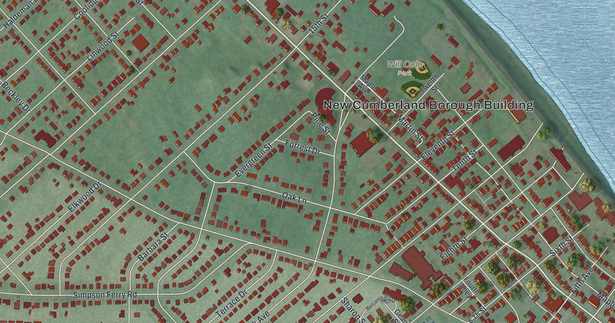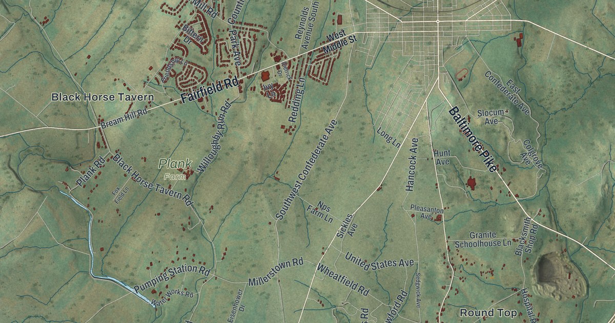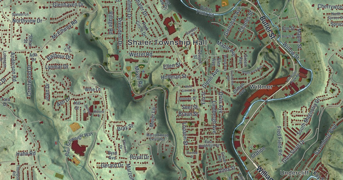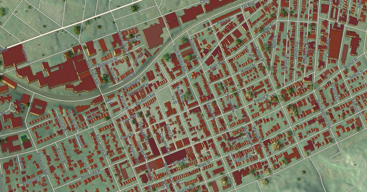
If you grew up in Shadyside, look for your old block on this print. It's a modern aerial view of Shadyside in Allegheny County, Pennsylvania, made with modern data and a vintage feel. Red buildings fill the close-set blocks, with pale streets across green ground.
Walnut Street, Bayard Street and Shadyside’s blocks
On this map you'll find Walnut Street, Ellsworth Avenue, Centre Avenue, Baum Boulevard, South Highland Avenue, South Aiken Avenue, South Negley Avenue, Shady Avenue, Bayard Street, Amberson Avenue, Howe Street, Mellon Park, and more. Each red shape is a building, so zoom in on the preview and look for yours.
Bayard Street and Amberson Avenue also have a place in Pittsburgh's iron story. The state marker for Shadyside Iron Furnace stands at that corner. It dates the furnace to 1792 and calls it the start of the region's iron industry. Built on low ground, it made stove and grate castings. The work lasted only about a year. The furnace closed when it ran short of ore and wood. You can find both street names among the red buildings on this map.
A Shadyside print for home
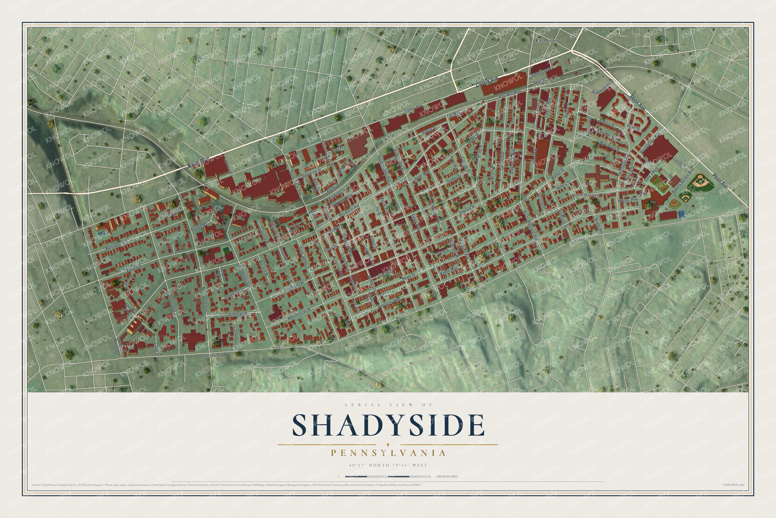
Created by KNOWOL in 2026, the print pairs soft green ground with red buildings and cream streets. A fine border surrounds the view and its cream title panel. The panel reads AERIAL VIEW OF, SHADYSIDE, PENNSYLVANIA, and 40°27' NORTH 79°56' WEST.
Hang it in a living room, office or entryway. It's a gift for someone who grew up near Walnut Street and wants to keep home close. Open the preview to look for the block you know best. See sizes and frames for the Shadyside map.