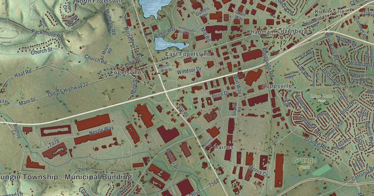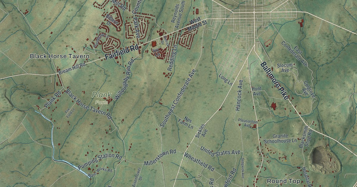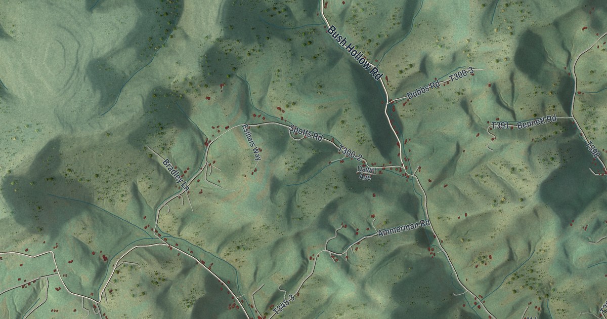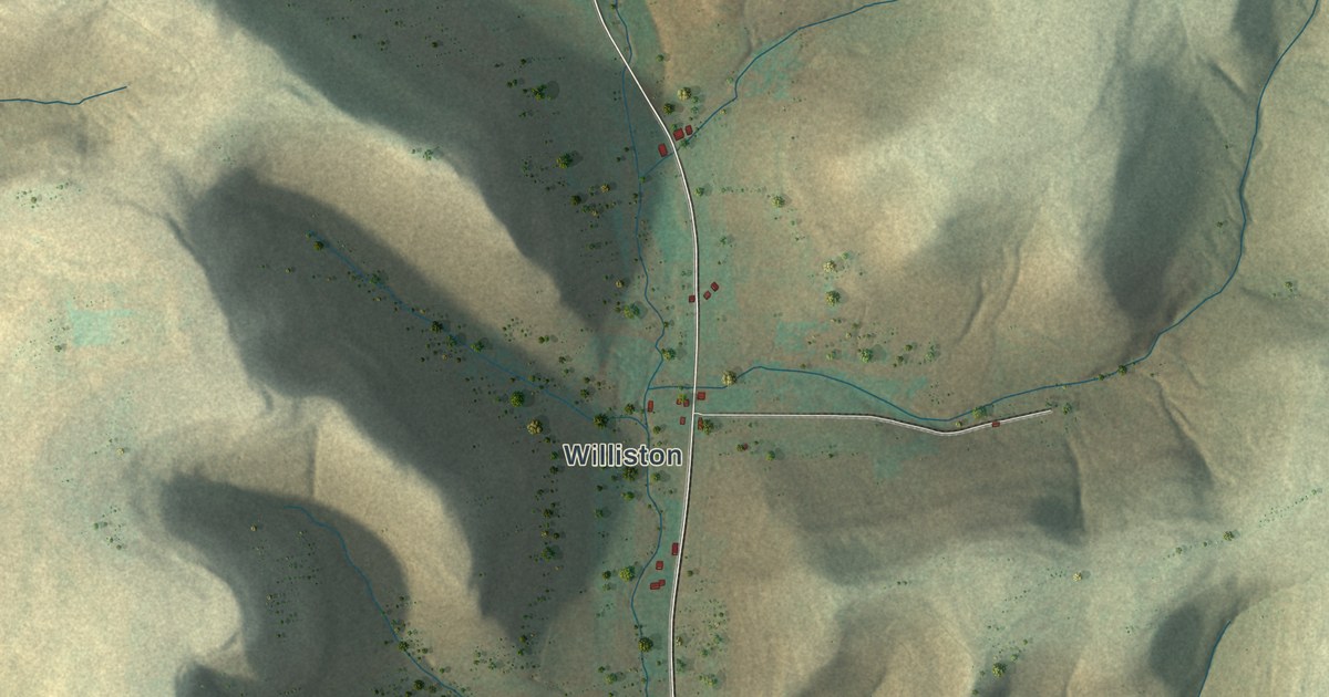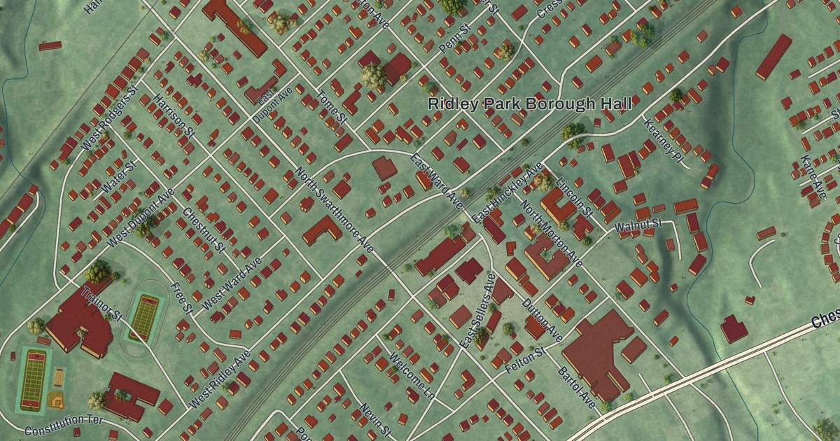
If you grew up in Ridley Park, look for your old block on this print. It's a modern aerial view of Ridley Park in Delaware County, Pennsylvania, made with modern data and a vintage feel. Red buildings fill the blocks around Borough Hall. Green ground, pale streets and blue water give the whole town room to unfold.
East Ridley Avenue and John Morton's birthplace
On this map you'll find Chester Pike, Ridley Park Borough Hall, North Swarthmore Avenue, East Ridley Avenue, West Hinckley Avenue, East Hinckley Avenue, West Sellers Avenue, Haverford Road, Cresswell Street, Crum Lynne, Leedom Estates, and more. Each red shape is a building, so zoom in on the preview and look for yours.
East Ridley Avenue has a link to the Declaration of Independence. The state's John Morton marker records his birthplace at 420 East Ridley Avenue, near Cresswell Street. Morton, born in 1724, became a signer of the Declaration. He served as a delegate to the Continental Congress. You can find both street names on the print and pick out the blocks around his birthplace site.
Ridley Park, from Borough Hall to Crum Lynne
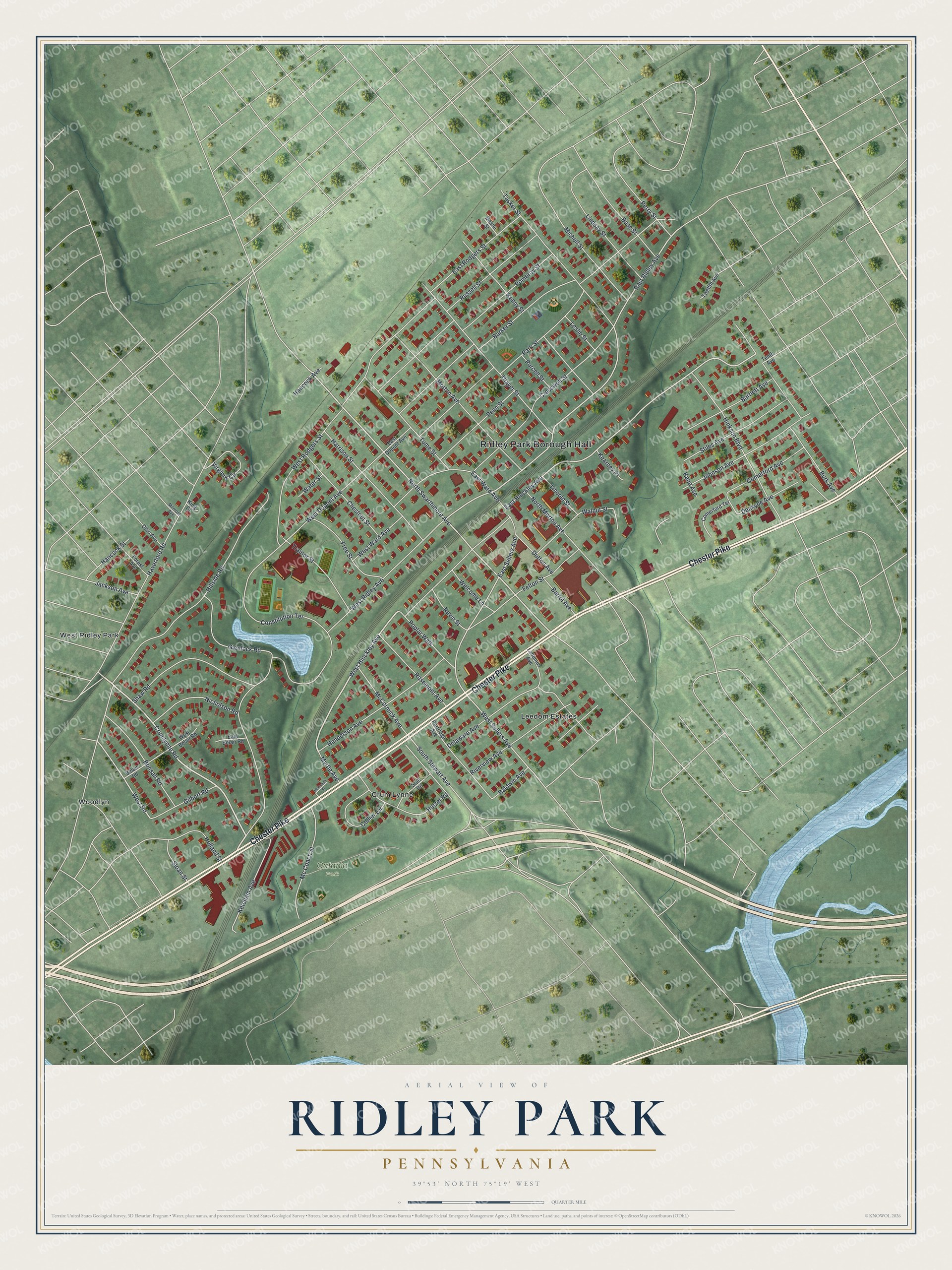
Created by KNOWOL in 2026, this print pairs muted green ground with red buildings and blue water. A cream border and dark blue title give it a vintage feel. The title panel reads AERIAL VIEW OF RIDLEY PARK, PENNSYLVANIA, with 39°53' NORTH 75°19' WEST below.
Hang it in a living room, office or front hall to keep home close. It's a thoughtful gift for someone who grew up near Chester Pike and moved away. Open the preview to find a familiar street and take a closer look at the town. See sizes and frames for the Ridley Park map.